In the early nineteenth century, there is evidence of a slave plantation of 3,200 acres (1838) at what is now Surfside Beach. Surfside Beach is the birthplace of Russell Fry, politician.
- CountyHorry County
- Population4,155 (2020 U.S. Census)
Surfside Beach, South Carolina gifts and souvenirs: 19 designs made from Surfside Beach's own map, landmarks and history, from $16 to $95. Printed to order and shipped free in the USA.
| Popular | Price |
|---|---|
| Surfside Beach Hometown Ornament | $23 |
| Surfside Beach Vintage Travel Poster | from $40 |
| Surfside Beach Varsity Crewneck | from $57 |
| Surfside Beach Est. Tee | from $33 |
| Surfside Beach Town Line Mug | from $26 |
| Surfside Beach Market Tote | $37 |
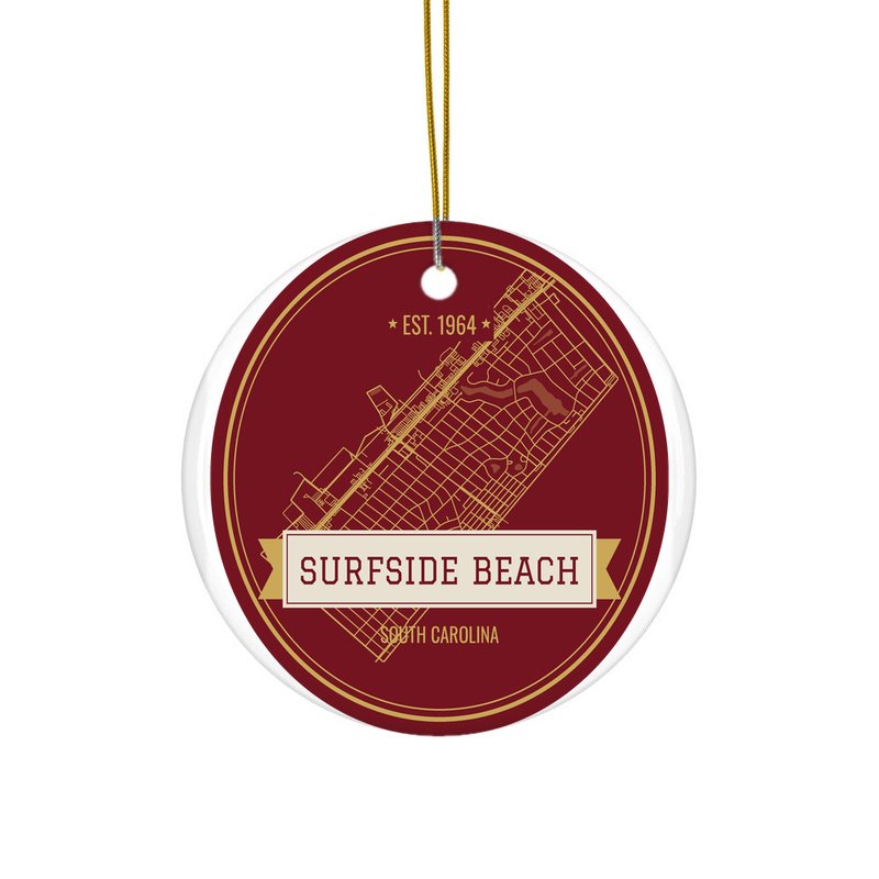
Ceramic keepsake, gold ribbon
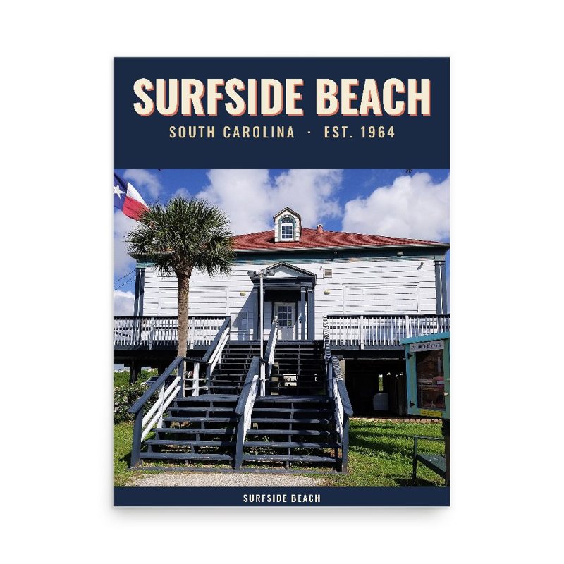
Its landmark photo in a classic travel-poster layout
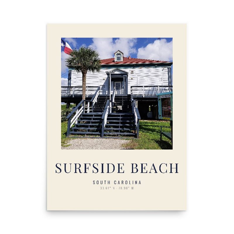
A local landmark photo as a gallery print
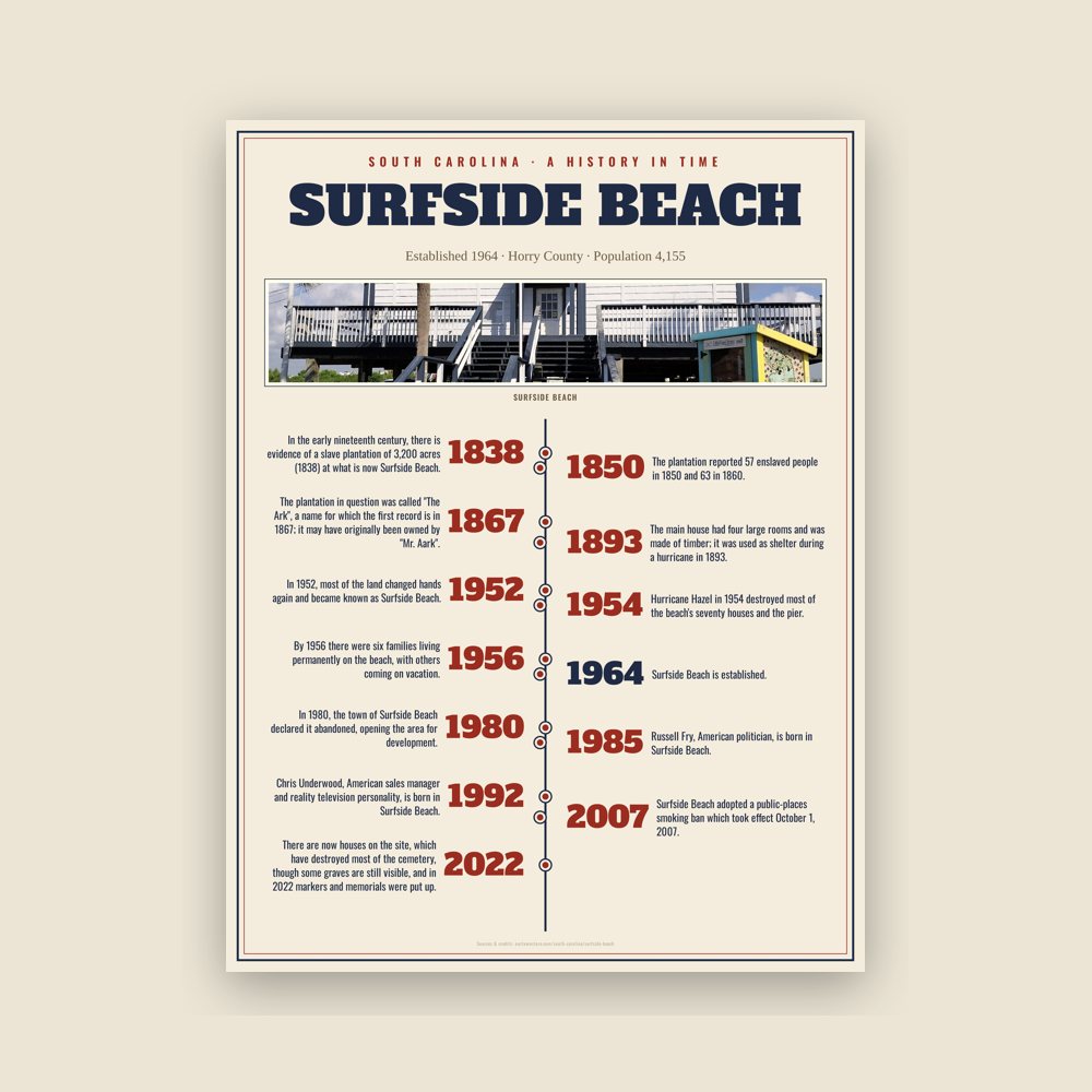
The town's story in dates, from its own records, for home or classroom
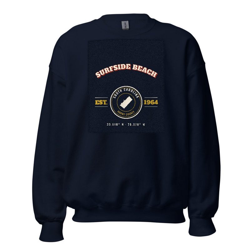
Heavy-blend fleece, street map printed on the back
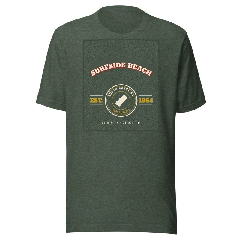
Soft Bella+Canvas jersey
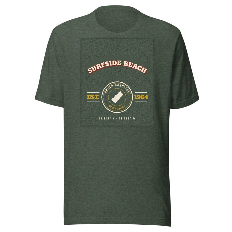
Kids' Bella+Canvas jersey, youth sizes
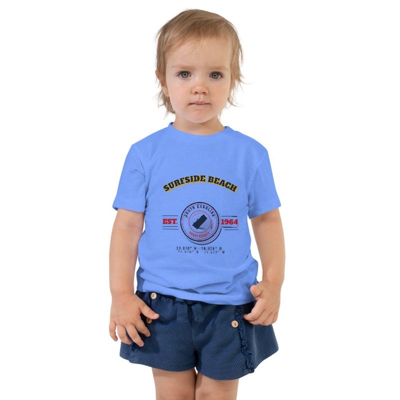
Bella+Canvas toddler jersey
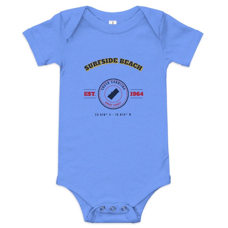
Bella+Canvas baby bodysuit
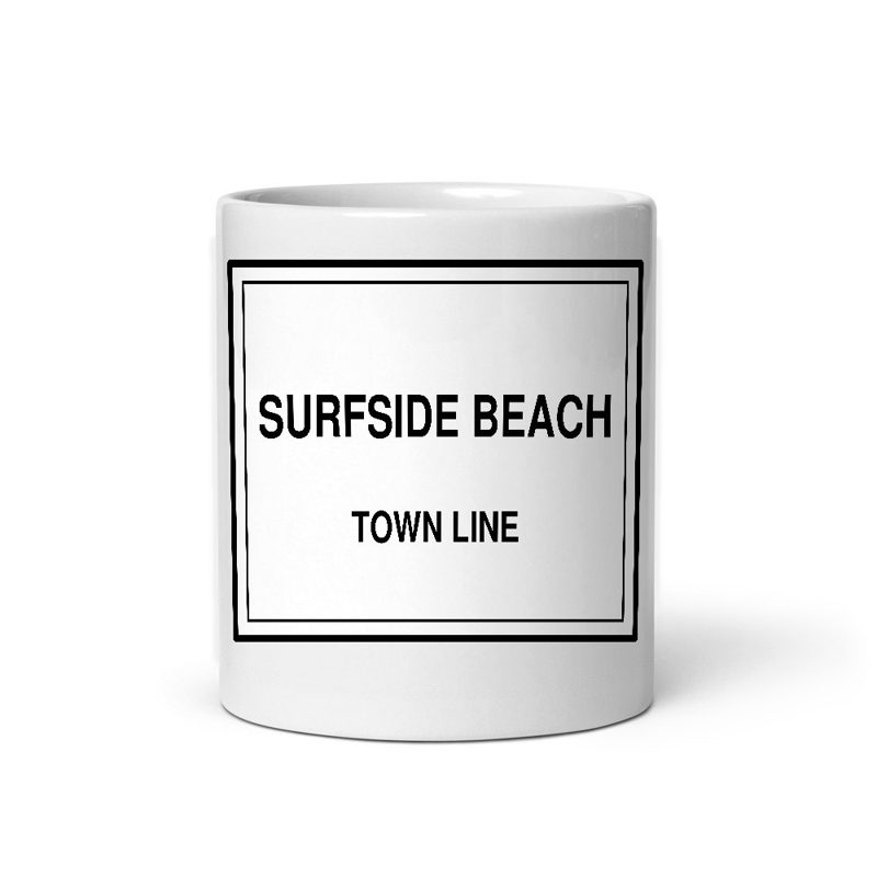
Glossy ceramic, dishwasher safe
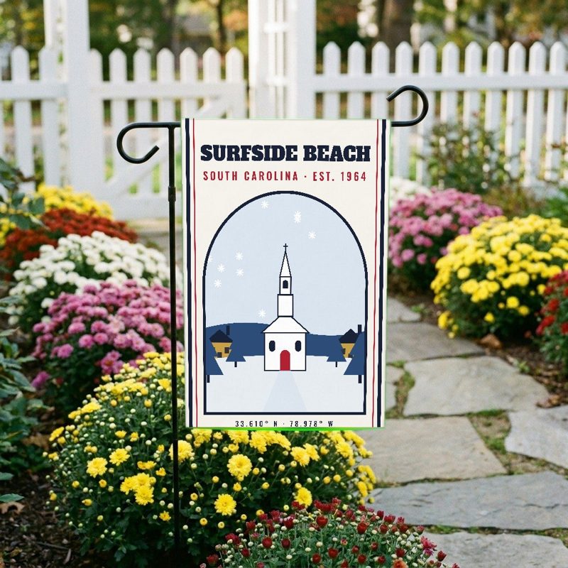
Weatherproof, for the front walk
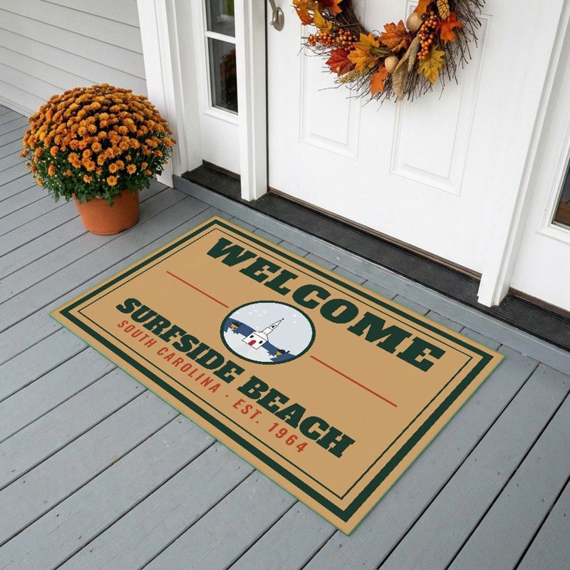
24″×16″, printed coir-look fibers, rubber back
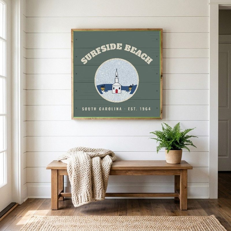
12″×12″ printed wood, ready to hang
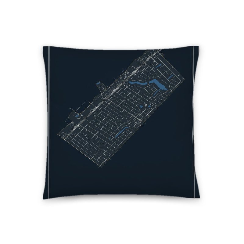
Soft-touch, zip cover
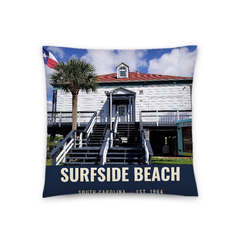
A local landmark photo with the town name, 18″×18″
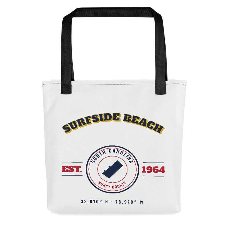
Sturdy all-over-print tote
Glossy top, cork back
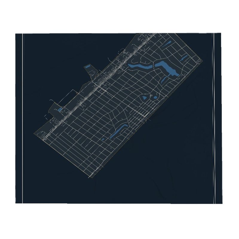
Soft fleece, 50″×60″
20 oz, double-wall stainless
In the early nineteenth century, there is evidence of a slave plantation of 3,200 acres (1838) at what is now Surfside Beach. Surfside Beach is the birthplace of Russell Fry, politician.
In the early nineteenth century, there is evidence of a slave plantation of 3,200 acres (1838) at what is now Surfside Beach. There are traveler accounts from the eighteenth century of the area. The 1765 diary of John Bartram, botanist, shows him lodging at what was probably Stephen Peak's slave plantation, "at the west end of long bay". In 1773, William Bartram, naturalist, also "got to the West end of Long Bay, where [he] lodged at a large Indigo plantation". The plantation in question was called "The Ark", a name for which the first record is in 1867; it may have originally been owned by "Mr. Aark". In 1820 it was owned by John Tillman. The 1838 survey recorded it having 3,194 acres. The plantation reported 57 enslaved people in 1850 and 63 in 1860. In 1850 the crops were sweet potatoes and rice. Other farmed animals and crops are thought to have included cattle, sheep, pigs, Indian corn and peas.
The main house was near the ocean front (at 3rd Ave South and Willow Drive in present-day Surfside Beach), with several buildings for slave quarters to the north along the ocean and a cemetery behind it (South Hollywood Dr on the west, to Juniper Drive on the north, to 6th Ave South on the east, to Cypress Drive on the south). The main house had four large rooms and was made of timber; it was used as shelter during a hurricane in 1893.
The main house became a hotel, and then a shelter for lifeguards, before it was demolished in the 1960s. The cemetery, where many of the enslaved people of the plantation were buried, continued to be used by descendants of those families until the 1950s. In 1980, the town of Surfside Beach declared it abandoned, opening the area for development. There are now houses on the site, which have destroyed most of the cemetery, though some graves are still visible, and in 2022 markers and memorials were put up.
Surfside Beach was previously known as Roach's Beach and had only a few buildings surviving the hurricane of 1893. Principal industries were lumber and feed farming for the 30 or so horses and mules in the area. The new owner, George J. Holiday of Galivants Ferry, renamed the area Floral Beach after his wife, Flora. He built a sawmill and opened a hotel in the old house of the plantation, the Tillman house.
Holiday sold the land to a group from Columbia who partially developed the land. In 1952, most of the land changed hands again and became known as Surfside Beach. A pier was built in 1953.
Hurricane Hazel in 1954 destroyed most of the beach's seventy houses and the pier. In 1976 the Department of Housing and Urban Development noted that the town "is subject to serious flooding from tidal surge caused by hurricanes and tidal storms"; there had been significant storms or hurricanes in 1872, 1874, 1883, 1893, 1894, 1899, 1906, and 1944, as well as Hurricane Hazel, and no flood defenses were in place or planned. Development plans continued. By 1956 there were six families living permanently on the beach, with others coming on vacation. The settlement expanded after the reactivation of Myrtle Beach Air Force Base in 1956. The town was incorporated in 1964. It had 881 residents at that point. Municipal annexation led to growth of the settlement.
Surfside Beach adopted a public-places smoking ban which took effect October 1, 2007. Surfside Beach is the first town in Horry County to enact such a ban, and one of only a handful in South Carolina to do so at the time.
On February 4, 2023, at 2:39 PM local time, a Chinese spy balloon that had been flying across the United States for days was shot down directly over the town's coast by an AIM-9X Sidewinder launched from a Lockheed Martin F-22 Raptor. US military aircraft were spotted directly overhead of the town minutes before the balloon was shot down.
Adapted (trimmed) from the Wikipedia article Surfside Beach, South Carolina, revision 1377597927 by its contributors, licensed CC BY-SA 4.0.
We share a part of every Surfside Beach sale with local partners, and we'd love to print from your collection. Old photographs, maps and postcards make the best keepsakes.
Partner with usA favorite landmark, your street, a school or team, an anniversary gift, a different product. Tell us and we'll get back to you by email.
Surfside Beach's population was 4,155 in the 2020 U.S. Census, up from 3,837 in 2010.