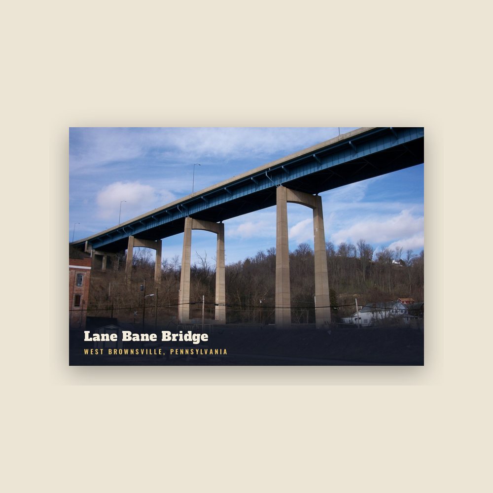
A short history of West Brownsville
The first "improvement" made on the present site of West Brownsville was made by William Peters, alias "Indian Peter" and "Mohawk Peter", a Mohawk man who bought land from the state of Pennsylvania across from Redstone Old Fort in 1769. Peters is mentioned as living "opposite ye Fort Burd" with his Euro-American wife and children in the early 1760s in the journals of Quaker merchant James Kenny.
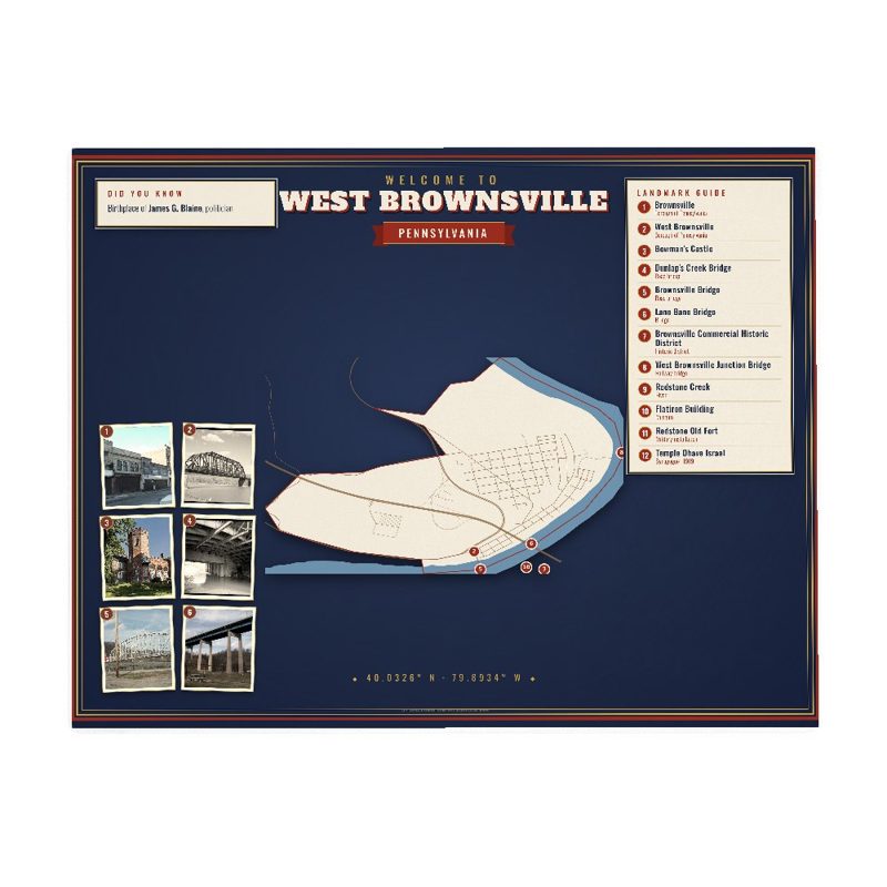
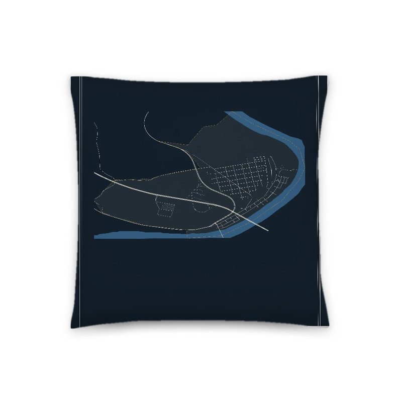
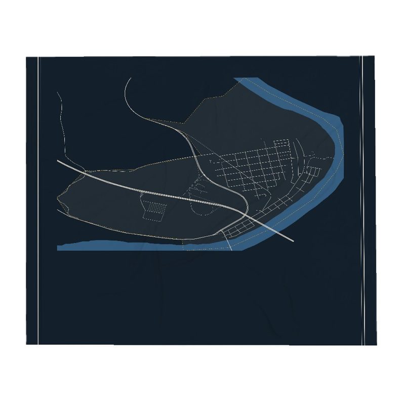
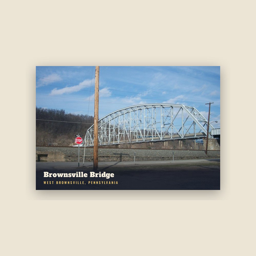
West Brownsville was sited on the inside of the sweeping curve along the Monongahela River and has relatively level ground opposite the cut bank effect giving Brownsville relatively steep slopes and West Brownsville, cupped by the inside of the curve, more flood-prone sandy mud flats lands. Historically, at a bit upstream of the location of the Brownsville-West Brownsville Bridge was the Amerindian crossing ford and wagon road of early westward migrants. A few hundred yards west from the shoreline, PA Route 88 enters from along the riverside bluff and the south as Lowhill Road and hugs the foot of the steep Pennsylvania hillsides flanking tongue-shaped flat terrain of the streets and housing through most of the length of W. Brownsville before twisting left uphill. It exits the W. Brownsville flat climbing Northwest as Blainsburg Road, climbing beside and below the bluff of Blainsburg, a larger 'satellite' bedroom community really an extension of the community, situated above West Brownsville proper, to its North-Northwest.
The steep bluff behind the West Brownsville tongue provided two climbable ascents which became early U.S. roads; the more southerly heading nearly due west climbing steadily upwards over a 2.5 miles (4.0 km) stretch, an old wagon road, and later the National Road following the westward extension of Nemacolin's Path up to and through the outlier neighborhood known as Malden from a river-shallows area known as a ford to Amerindians, a landscape feature which attracted settlers heading west on the Emigrant Trail once known as Nemacolin's Path, then the Cumberland Road and then renamed as the 'National Road'. The other ascent would allow PA Route 88 to climb out of the valley where the road cut across several loops of the Monongahela to California.
Adapted (trimmed) from the Wikipedia article West Brownsville, Pennsylvania, revision 1375867968 by its contributors, licensed CC BY-SA 4.0.