A short history of Cherry Tree
Cherry Tree was originally known as "Canoe Place" because its location marked the spot where the West Branch of the Susquehanna River was no longer navigable and canoes would have to portage. The latter settlement was known as "Newman's Mills" and later "Grant Post Office". The current name was officially adopted in 1907 but had been in use informally by local residents for many years before that time.
Cherry Tree was named for a large cherry tree that stood at the confluence of Cush Cushion Creek and the West Branch of the Susquehanna River. The tree marked the eastern boundary of the territory acquired by the Penn family from the Six Nations of the Iroquois at the Treaty of Fort Stanwix on November 5, 1768. The boundary, called the "purchase line", extended from the cherry tree westward to the current site of Kittanning on the Allegheny River.
Over time the original cherry tree was washed away along with other identifying features. But in 1849 the three counties adjoining the site, Indiana, Clearfield and Cambria, appointed surveyors to identify the tree's former location. Having done so, the surveyors then recommended erecting a monument. Because local people wanted the state of Pennsylvania to pay nothing happened until 1893 when the state appropriated $1,500. E.R. Carr & Co. of Quincy, Mass. was awarded the contract for the 35 foot high granite column and the monument was unveiled on Nov. 16, 1894. A war memorial was subsequently added nearby. Today the monument can be found at the corner of Maple Street and Front Street on Pennsylvania Route 580.
Adapted (trimmed) from the Wikipedia article Cherry Tree, Pennsylvania, revision 1378534389 by its contributors, licensed CC BY-SA 4.0.
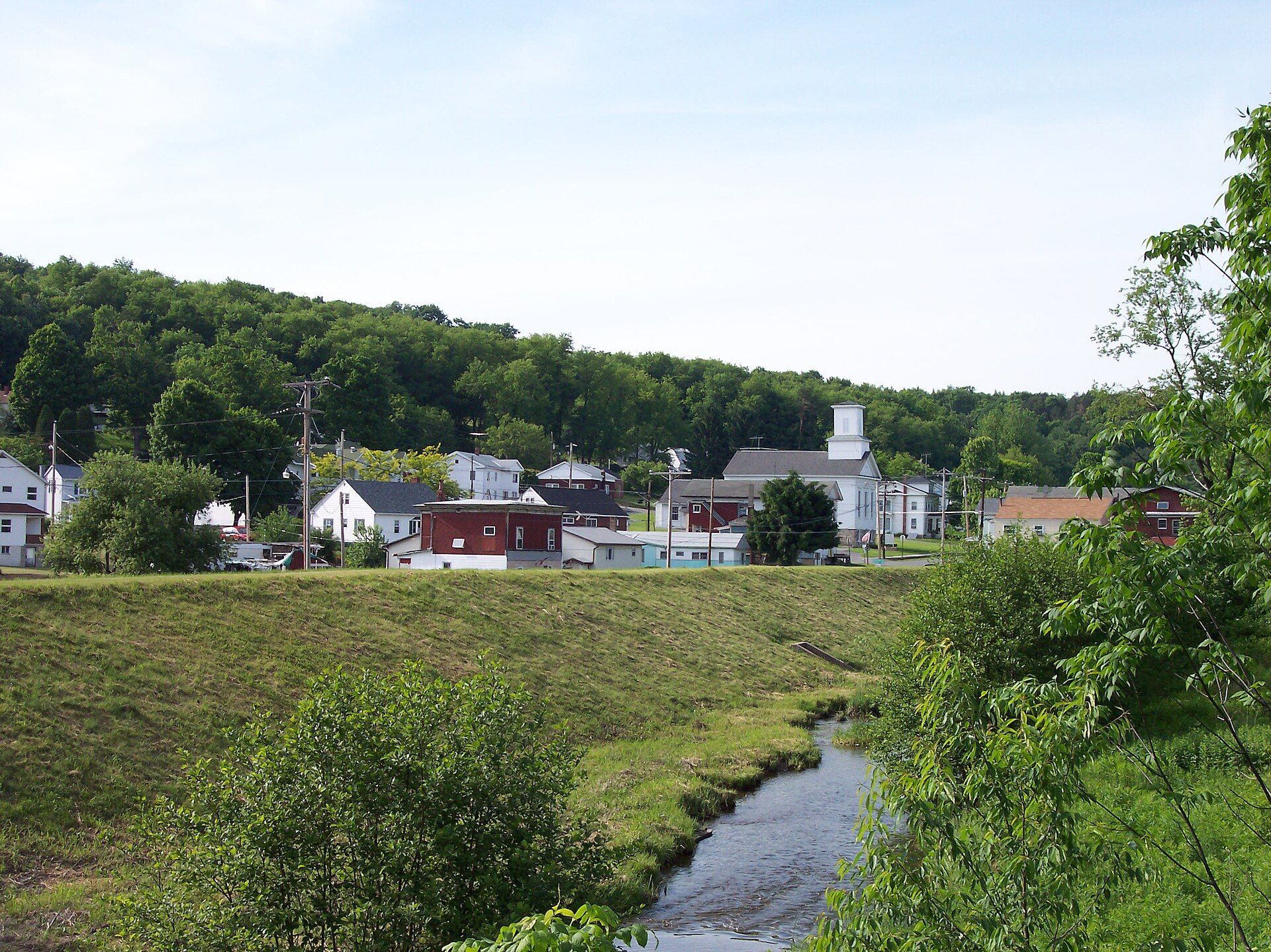










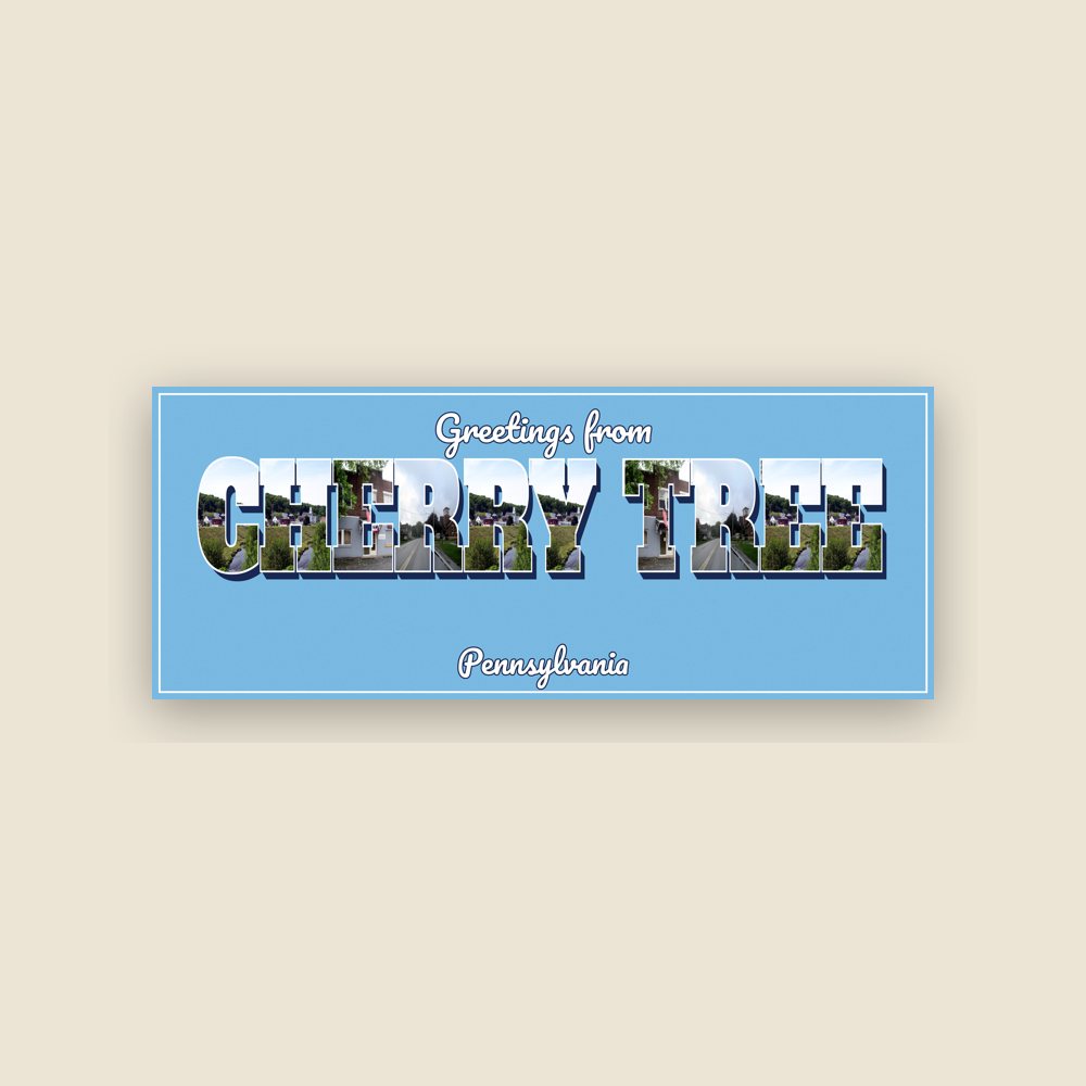



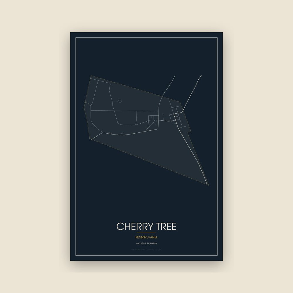



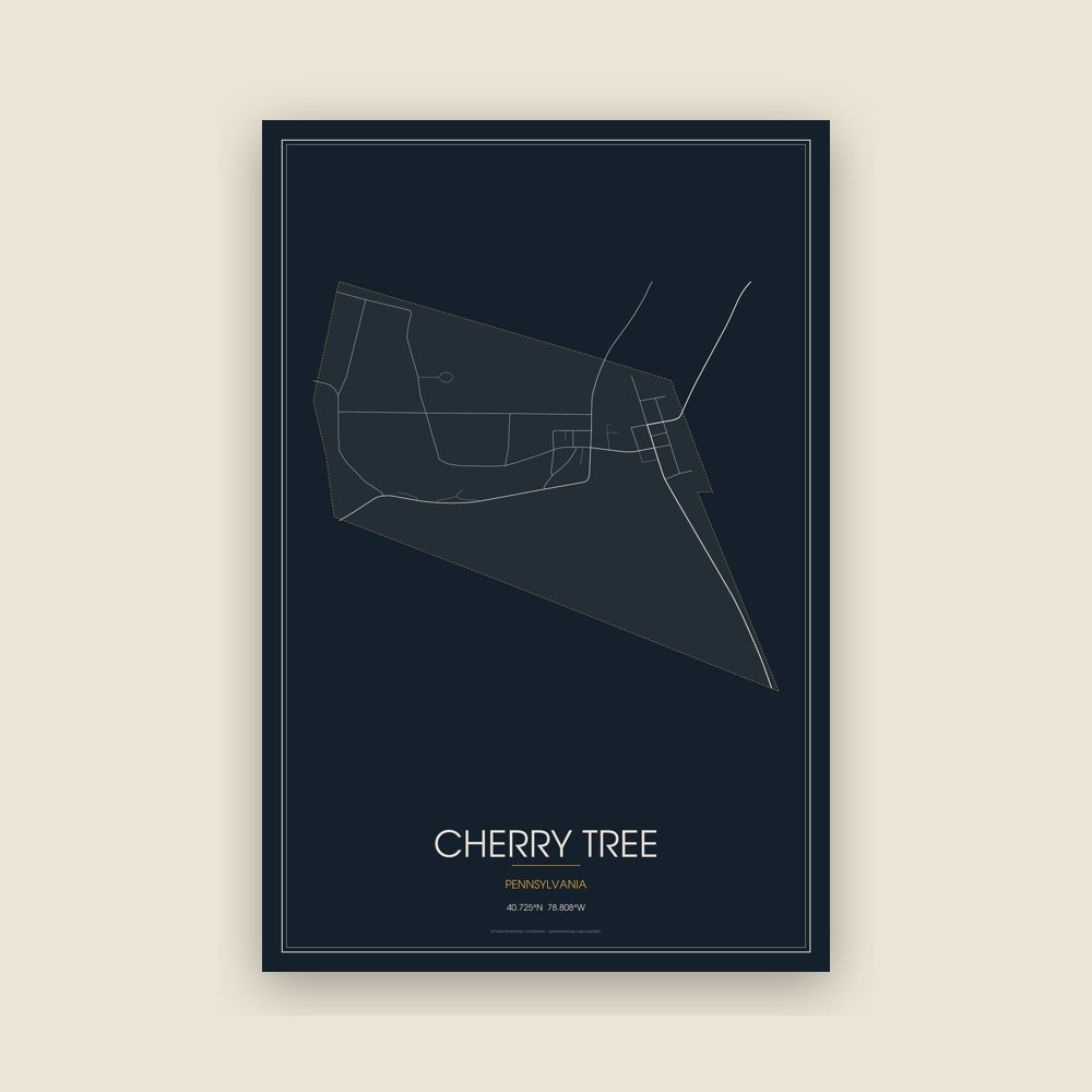



 A view of Cherry Tree
 A view of Cherry Tree
 A view of Cherry Tree
 A view of Cherry Tree