The locality at present-day Idanha was originally known as Muskrat Camp.
- CountyMarion County
- Population156 (2020 U.S. Census)
Idanha, Oregon gifts and souvenirs: 22 designs made from Idanha's own map, landmarks and history, from $16 to $95. Printed to order and shipped free in the USA.
| Popular | Price |
|---|---|
| Idanha Hometown Ornament | $23 |
| Idanha Varsity Crewneck | from $57 |
| Idanha Est. Tee | from $33 |
| Idanha Town Line Mug | from $26 |
| Idanha Market Tote | $37 |

Ceramic keepsake, gold ribbon

Map of local landmarks, washable fabric

Heavy-blend fleece, street map printed on the back

Soft Bella+Canvas jersey

Kids' Bella+Canvas jersey, youth sizes

Bella+Canvas toddler jersey

Bella+Canvas baby bodysuit

Glossy ceramic, dishwasher safe

Weatherproof, for the front walk

24″×16″, printed coir-look fibers, rubber back

12″×12″ printed wood, ready to hang
Soft-touch, zip cover

Sturdy all-over-print tote

Glossy top, cork back
Soft fleece, 50″×60″

20 oz, double-wall stainless
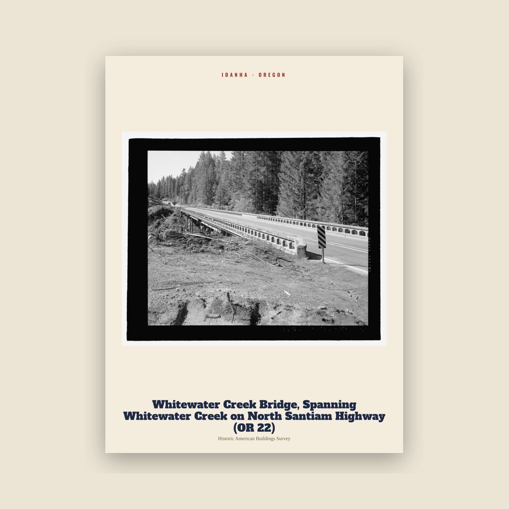
From the Library of Congress collections: a historic survey drawing or photograph of the town
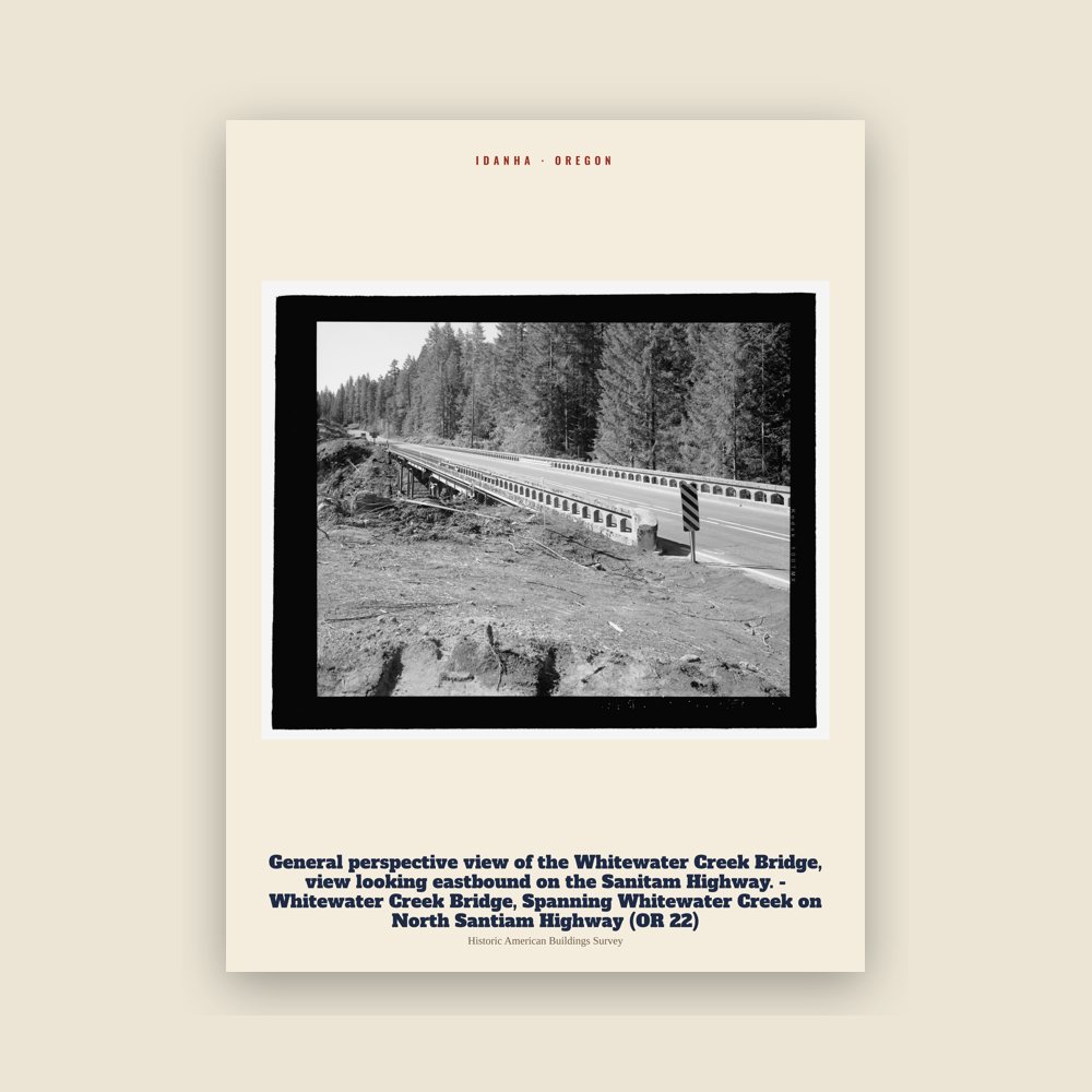
From the Library of Congress collections: a historic survey drawing or photograph of the town
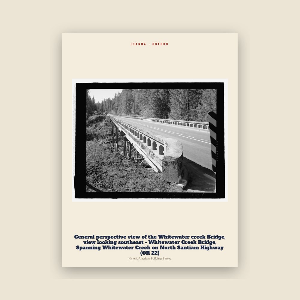
From the Library of Congress collections: a historic survey drawing or photograph of the town

From the Library of Congress collections: a historic survey drawing or photograph of the town

From the Library of Congress collections: a historic survey drawing or photograph of the town

From the Library of Congress collections: a historic survey drawing or photograph of the town
The locality at present-day Idanha was originally known as Muskrat Camp.
The North Santiam River corridor was used by the Santiam Kalapuya for travel, food gathering, and trade, and was later traversed by Euro-American fur trappers. The locality at present-day Idanha was originally known as Muskrat Camp. A hotel served travelers, anglers, and hunters, and its proprietor adopted the name Idanha from a mineral-water brand bottled in Soda Springs, Idaho.
The Oregon Pacific Railroad was intended to cross the Cascade Range and continue east toward Idaho. Its tracks reached Idanha at the end of December 1889, but the company entered receivership in October 1890 and construction east of the community was never resumed. As the eastern terminus of the completed line, Idanha became a departure point for hunting and fishing excursions into the Cascades.
Montana lumberman Andrew B. Hammond purchased the bankrupt railroad in 1894. Rather than continuing its proposed transcontinental route, Hammond developed it as a logging and lumber railroad serving timberlands, camps, and mills in the North Santiam Canyon. Following Hammond's death and the decline of his businesses during the Great Depression, Idanha was the location of the Mary's Creek Civilian Conservation Corps camp.
Construction of a state highway across the Cascades along portions of the former railroad corridor improved access to Idanha during the 1930s. Further federal investment followed with construction of Detroit Dam, which began in 1949 and was completed in 1953. The highway, Forest Service logging roads, and dam construction supported the expansion of Idanha's postwar timber industry, and several sawmill, shingle, and veneer companies operated in and around the community.
In 1949, residents debated whether Idanha should incorporate separately or become part of a combined municipality with nearby Detroit, much of whose original townsite was to be inundated by the dam reservoir. Voters rejected an initial joint-incorporation proposal and subsequently approved the separate incorporation of Idanha by a vote of 190 to 8. The Marion County court certified the result in December 1949. The Oregon Blue Book lists March 15, 1950, as the city's official incorporation date.
Changes in the management and harvesting of federal forests contributed to the closure of Idanha-area mills by the mid-1990s. Logging continued on a smaller scale, while the local economy increasingly served outdoor recreation and travelers using Oregon Route 22 to reach Detroit Lake, the Santiam Pass, and central Oregon.
This region experiences warm and dry summers, with no average monthly temperatures above 71.6 °F (22.0 °C). According to the Köppen Climate Classification system, Idanha has a warm-summer Mediterranean climate, abbreviated Csb on climate maps.
Adapted (trimmed) from the Wikipedia article Idanha, Oregon, revision 1384690607 by its contributors, licensed CC BY-SA 4.0.
We share a part of every Idanha sale with local partners, and we'd love to print from your collection. Old photographs, maps and postcards make the best keepsakes.
Partner with usA favorite landmark, your street, a school or team, an anniversary gift, a different product. Tell us and we'll get back to you by email.
Idanha's population was 156 in the 2020 U.S. Census, up from 134 in 2010.