A short history of Milford
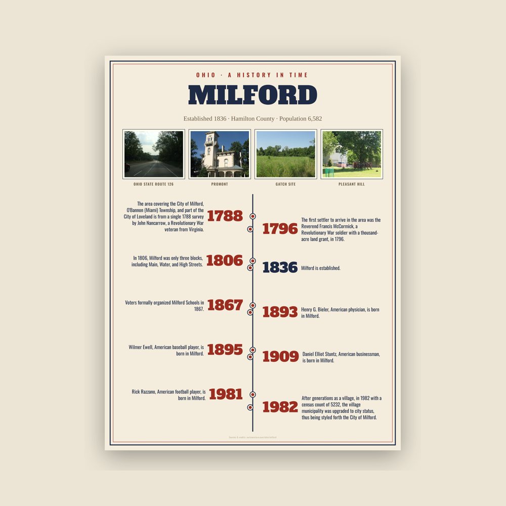
The area covering the City of Milford, O'Bannon (Miami) Township, and part of the City of Loveland is from a single 1788 survey by John Nancarrow, a Revolutionary War veteran from Virginia. As one of Clermont County's major historians noted, "No wonder, then, that it struck with rapture the quaint and eccentric John Nancarrow, who had it surveyed for him on May 28, 1788 as Dutch burgomaster intended to found a city that should become the future metropolis of the West." O'Bannon Township was named after O'Bannon Creek, which itself was named for Clermont's first surveyor who was not connected to, responsible for, or interested at all in Nancarrow's survey area.
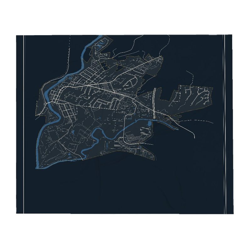
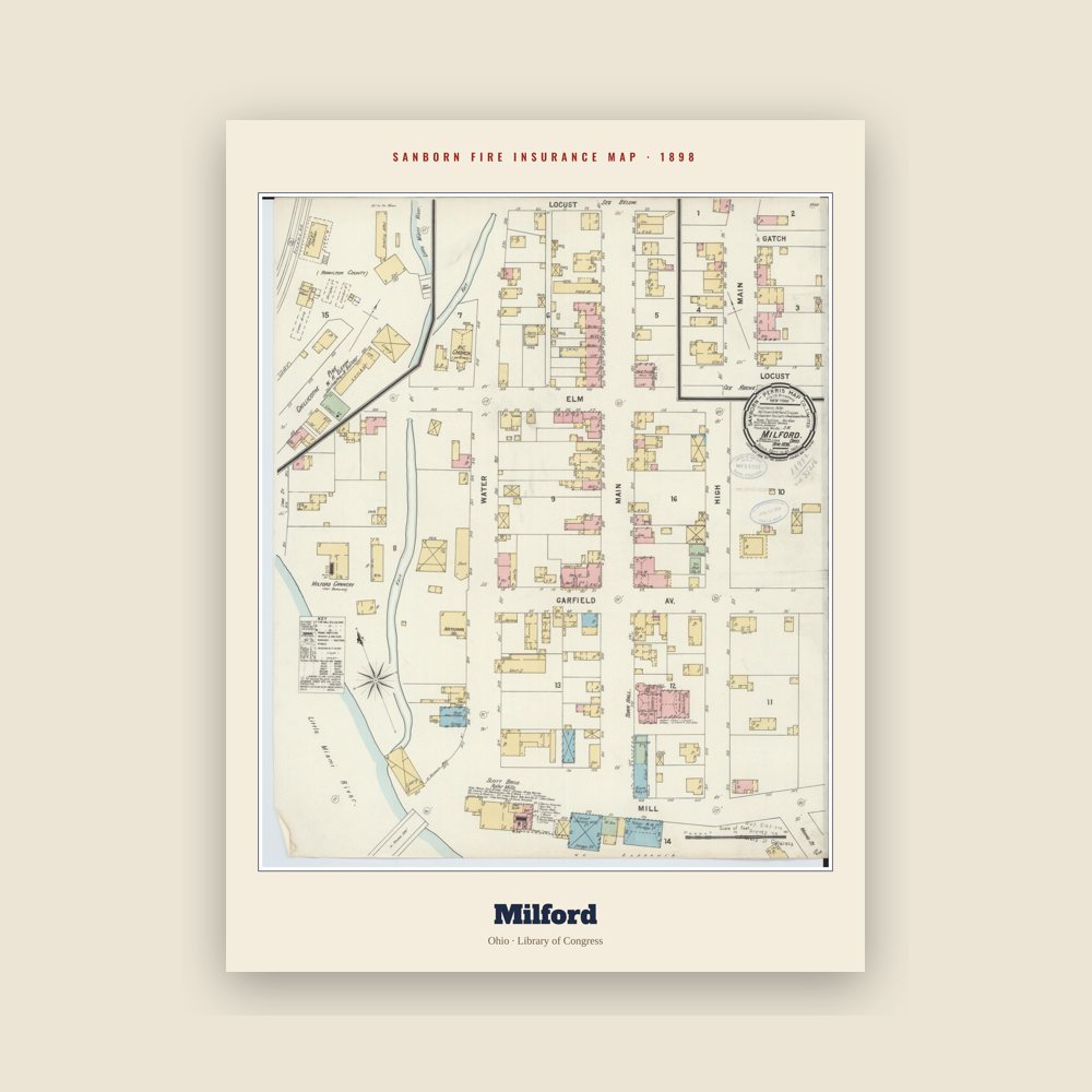
The settlement of Milford, which was the first settlement within the 1788 Nancarrow survey's area, commenced in 1796 near where two riverways—the Little Miami River and its East Fork—come together; making Milford tied with Williamsburg as the oldest settlement in Clermont County. The first settler to arrive in the area was the Reverend Francis McCormick, a Revolutionary War soldier with a thousand-acre land grant, in 1796. McCormick built his log cabin on the hill at the present 1000 Forest Avenue and he founded the first Methodist Class in the Northwest Territory in 1797. Nancarrow, the first surveyor, sold his share of 230 acres (0.93 km2) of land to Philip Gatch on December 20, 1802, for a total of $920.00. Four years later, Gatch decided to sell 125 acres (0.51 km2) to Ambrose Ranson who, soon after, sold 64 acres (260,000 m2) to John Hageman. Hageman became the first long-term settler (as Gatch relocated slightly outside town limits), naming the valley Hageman's Mills. Hageman laid out a village of 46 lots; the choicest lot was #1 where the Millcroft Inn was located at Mill and Water Streets, with a price of $35.00 with most of the other lots selling for $25.00.
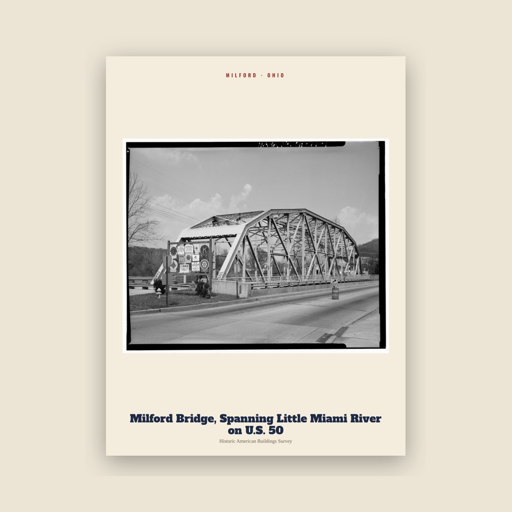
By 1811, Hageman had departed for Indiana and the name Milford had come into prominent use, attributed to the newspaper changing it in February 1806 because it was the first safe ford north of the Ohio River to cross the Little Miami River. In 1806, Milford was only three blocks, including Main, Water, and High Streets. With the prominent river ford location to get to the site of its mill, references to the singular name Milford became more widespread to connote the still-unincorporated survey area; in 1814, a newspaper mentioned: "The Ohio Militia paymaster will pay soldiers at Chenemiah Covett's stone house below Milford." An extension of then-town-limits to the First Methodist church alley was made in 1817. People from the outer township travelled into Milford to sell crops, buy flour, visit shops and restaurants, and rest before making their way back up the hill. After the settlement had been platted for some time, the first part of the Town of Milford was formally incorporated January 23, 1836 (as a village municipality), followed by other phases; the corporate area would see enlargements in 1846, 1869, 1872, 1888 (Montauk and South Milford), 1925, 1939, 1950s, 1959 (part of Milford Hills), 1970s, 1981, 1983, 1985-6, and the early 2000s. Voters formally organized Milford Schools in 1867. After generations as a village, in 1982 with a census count of 5232, the village municipality was upgraded to city status, thus being styled forth the City of Milford. Due to the great Methodist influence, including the life of the Reverend McCormick, Milford is recognized as the root of Methodist religious heritage into the American West. Its namesake river ford is still a shallow place seen today as it was when one had to cross the river to get to the old mill.
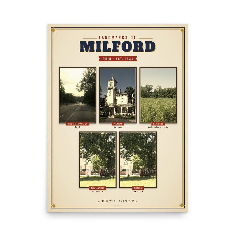
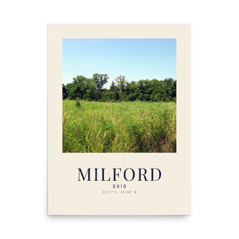
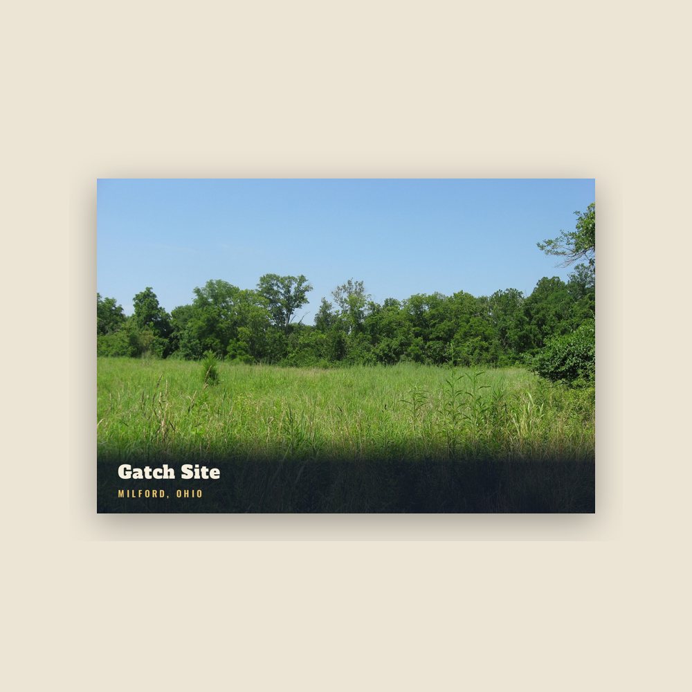
A field along Gatch Avenue, on what was once the farm of John Gatch, has yielded large numbers of artifacts for several generations. It is believed to have once been the site of a Native American village during the Woodland period. Today, the field next to Gatch's estate is managed by the Valley View conservancy, having been an archaeological site called the Gatch Site.
Adapted (trimmed) from the Wikipedia article Milford, Ohio, revision 1381655708 by its contributors, licensed CC BY-SA 4.0.



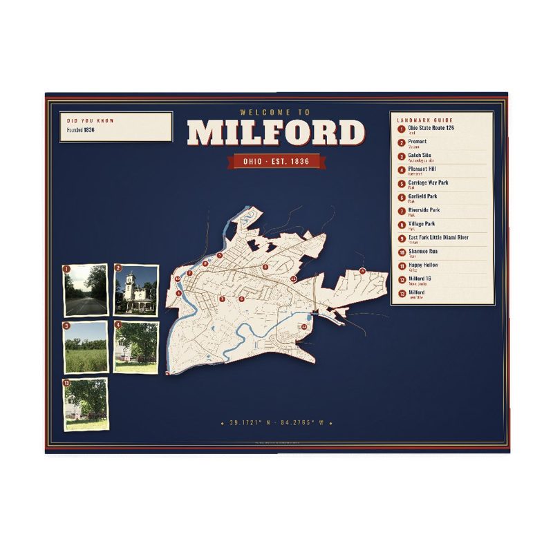










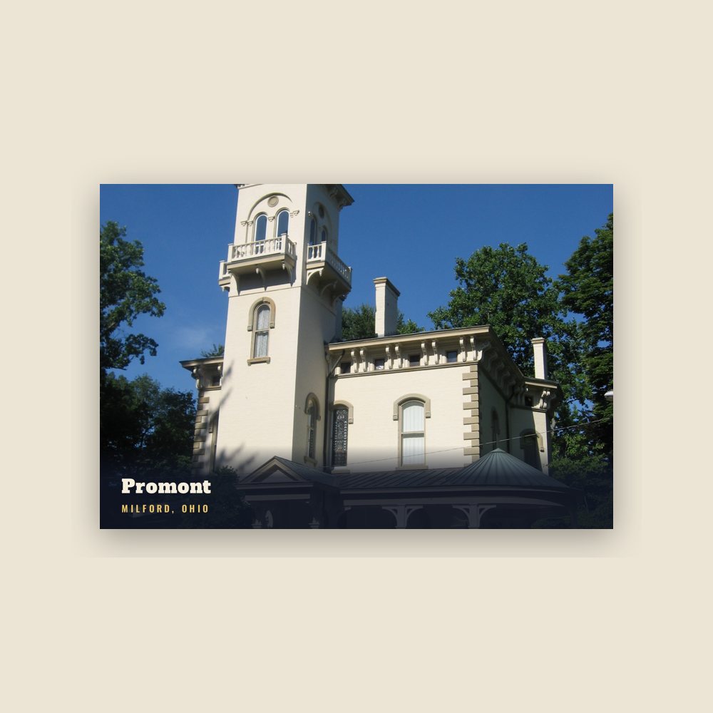
 Promont
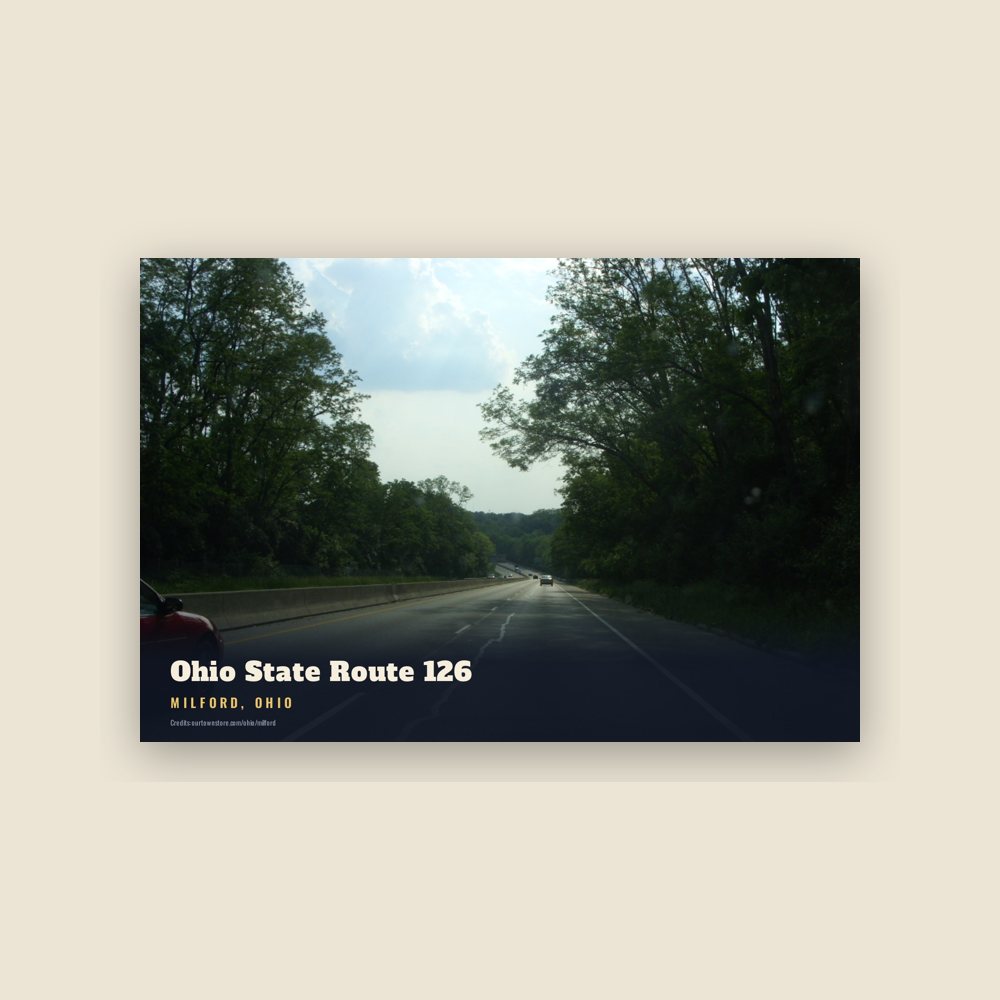
 Ohio State Route 126
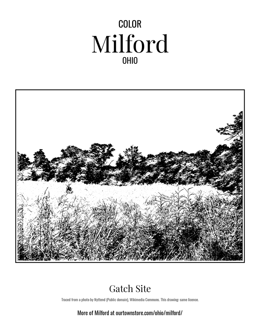 Gatch Site
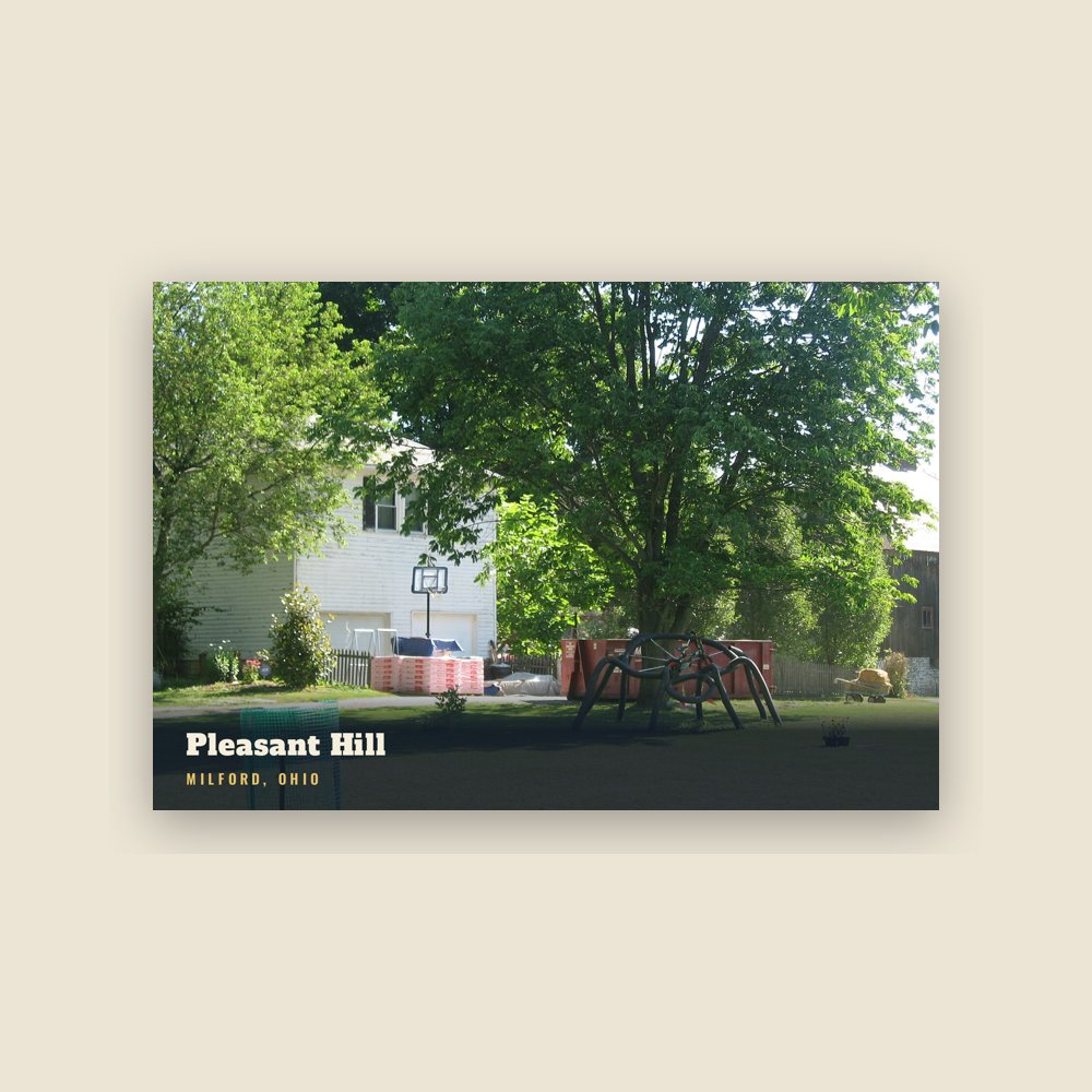
 Pleasant Hill