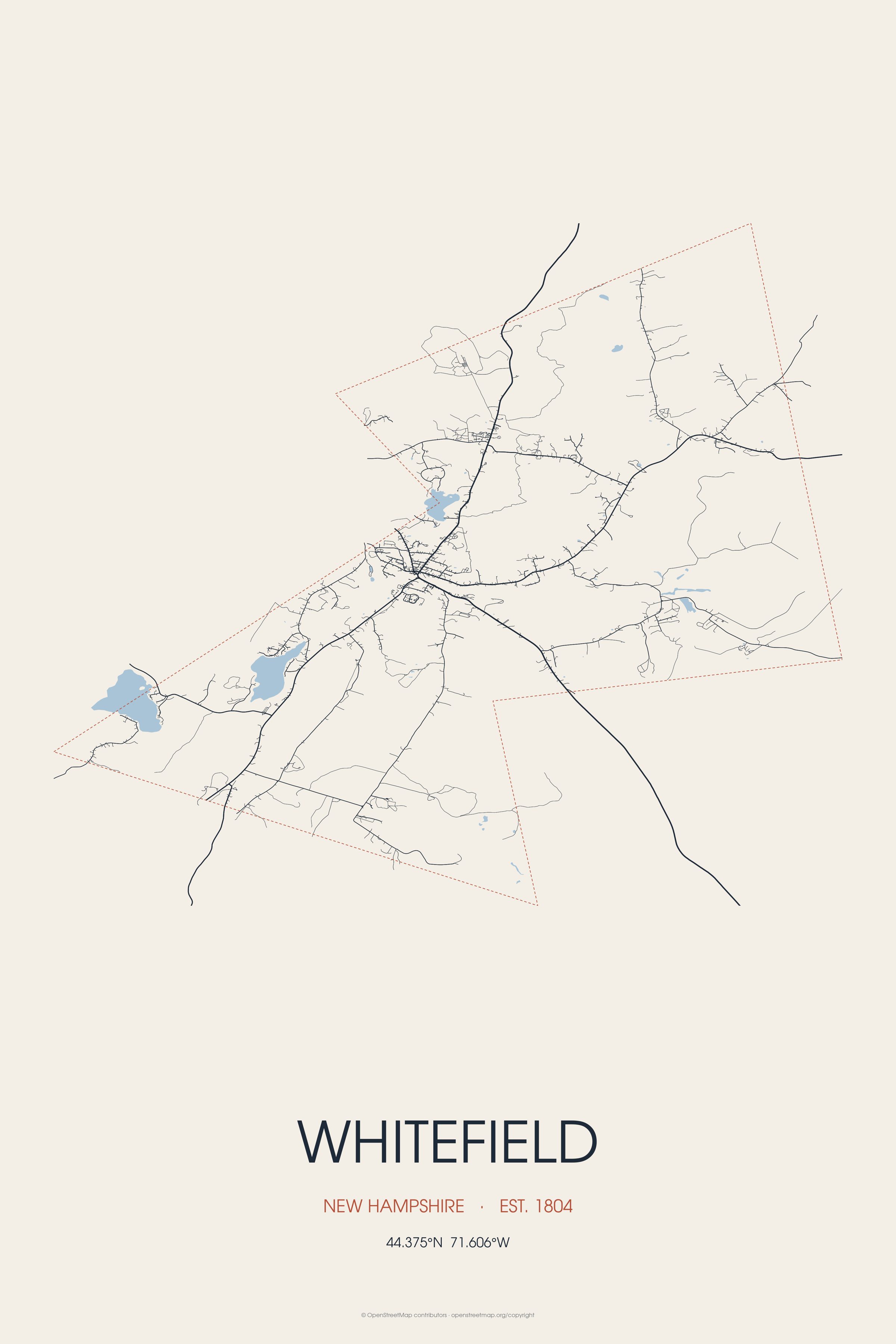
Situated on the northern edge of the White Mountains, Whitefield is home to the Mount Washington Regional Airport and the White Mountains Regional High School. Whitefield is the birthplace of John G. Foster, Union army general.
Every piece is drawn from Whitefield's own map data and historic archives, then printed and shipped from the USA when you order. No two towns look alike.
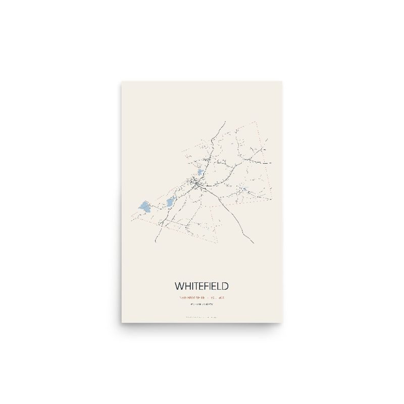
Every road in town, on archival matte paper
The same map, in navy and silver
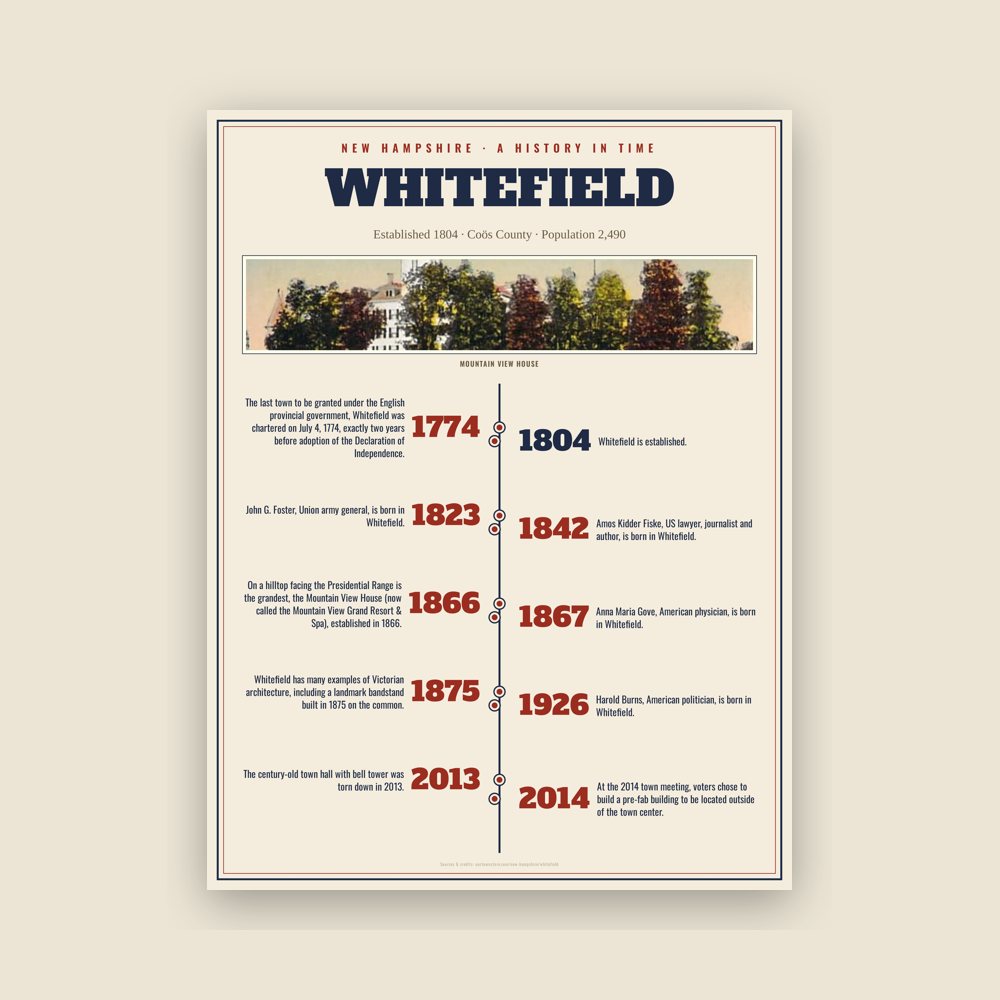
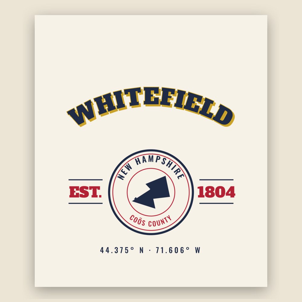
The town's story in dates, from its own records, for home or classroom
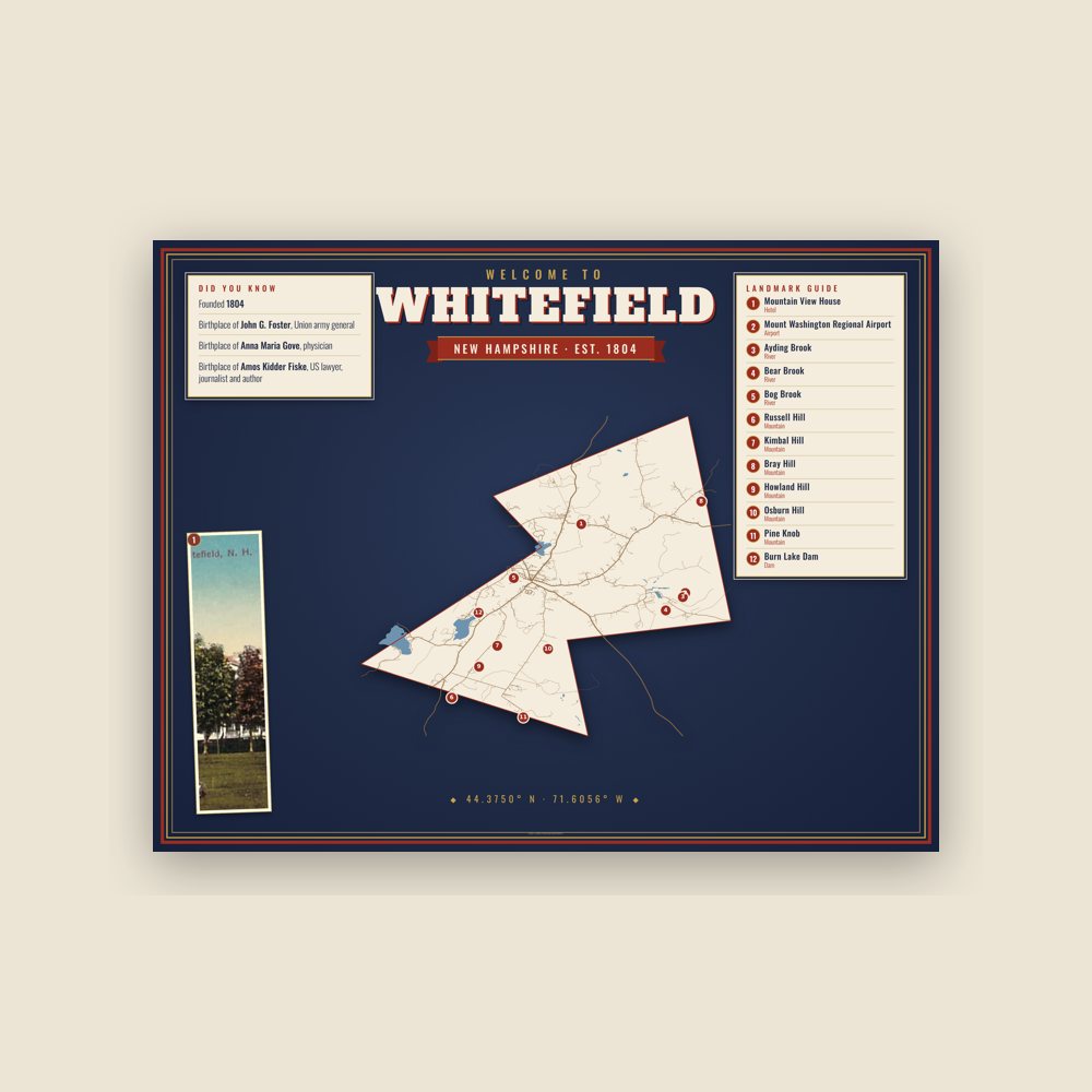
Map of local landmarks, washable fabric
Heavy-blend fleece, street map printed on the back
Soft Bella+Canvas jersey
Glossy ceramic, dishwasher safe
Ceramic keepsake, gold ribbon
Weatherproof, for the front walk
24″×16″, printed coir-look fibers, rubber back
12″×12″ printed wood, ready to hang
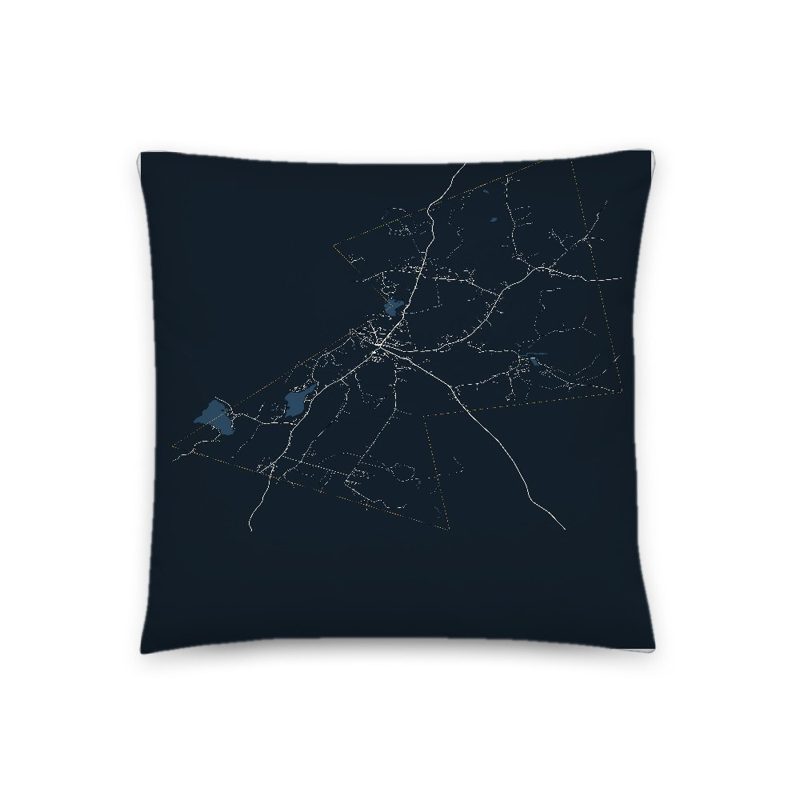
Soft-touch, zip cover
Sturdy all-over-print tote
Glossy top, cork back
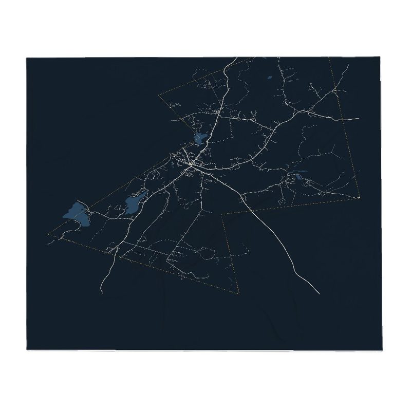
Soft fleece, 50″×60″
20 oz, double-wall stainless
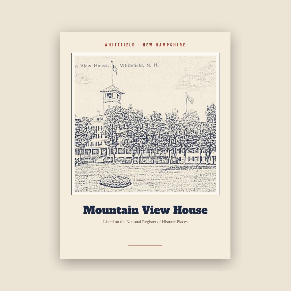
Archival matte print of a local landmark, credited to its photographer
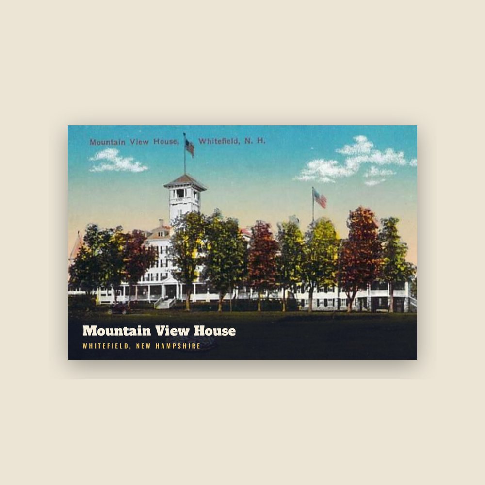
6″×4″ postcard, glossy front
Population 2010: 2,306 → 2020: 2,490
From Wikidata (CC0).
The last town to be granted under the English provincial government, Whitefield was chartered on July 4, 1774, exactly two years before adoption of the Declaration of Independence. Some believe it was named for George Whitefield, a famous English evangelist and a friend of William Legge, 2nd Earl of Dartmouth, the patron of Dartmouth College. Others believe the name originated from earlier references to the snowy white fields one would see upon approach through any of the surrounding mountain passages. The chartered name was "Whitefields", but the "s" was dropped on December 1, 1804, the date of incorporation. Early grantees included Jeremy Belknap, historian, and John Langdon, who succeeded John Wentworth as governor.
With the entrance of the railroad in the 19th century, tourists discovered the town and its cool, clean mountain air. They sought relief from the heat, humidity and pollution of coal-era summers in Boston, Hartford, New York and Philadelphia. Several inns and hotels were built to accommodate their increasing numbers. On a hilltop facing the Presidential Range is the grandest, the Mountain View House (now called the Mountain View Grand Resort & Spa), established in 1866. The historic hotel underwent an extensive renovation in the 2000s, and is now one of the most luxurious in New Hampshire.
The two railroad lines whose tracks crossed in the center of Whitefield were the Boston and Maine Railroad, running from Wells River, Vermont, to Berlin, New Hampshire; and the Maine Central Railroad, running from Portland, Maine, to St. Johnsbury, Vermont. Though the actual "diamond" track crossing with rails remains intact as of 2022, "guarded" by the last remaining, historic "ball"-type signal in all of New England, the tracks are mostly disused or torn-up on the old B&M line in both directions from Whitefield, and from St. Johnsbury to Fabyan station, on the Maine Central line east of Whitefield. (The Conway Scenic Railroad now operates the old Maine Central "Mountain Division" between Fabyan station and North Conway, New Hampshire.)
Whitefield has many examples of Victorian architecture, including a landmark bandstand built in 1875 on the common. The century-old town hall with bell tower was torn down in 2013. At the 2014 town meeting, voters chose to build a pre-fab building to be located outside of the town center.
Adapted (trimmed) from the Wikipedia article Whitefield, New Hampshire, revision 1379647387 by its contributors, licensed CC BY-SA 4.0.
We share a part of every Whitefield sale with local partners, and we'd love to print from your collection. Old photographs, maps and postcards make the best keepsakes.
Partner with us