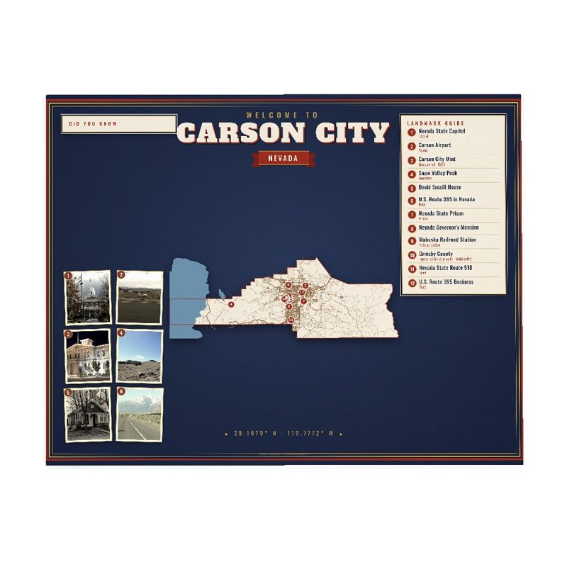
Carson City is an independent city and the capital of the U.S. state of Nevada. Landmarks include Nevada State Capitol, Carson Airport and Carson City Mint.
- CountyCarson City
- Historic places40 on the National Register
CARSON CITY, Nevada gifts and souvenirs: 41 designs made from CARSON CITY's own map, landmarks and history, from $10 to $99. Printed to order and shipped free in the USA.
| Popular | Price |
|---|---|
| CARSON CITY Hometown Ornament | $23 |
| CARSON CITY Landmarks Photo Poster | from $40 |
| CARSON CITY Vintage Travel Poster | from $40 |
| CARSON CITY Varsity Crewneck | from $57 |
| CARSON CITY Est. Tee | from $33 |
| CARSON CITY Town Line Mug | from $26 |
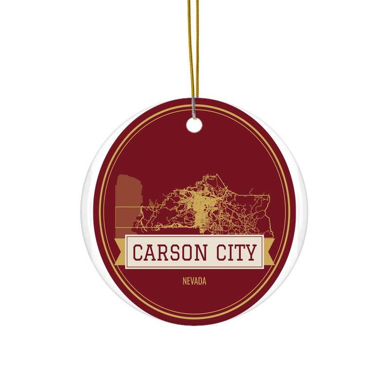
Ceramic keepsake, gold ribbon
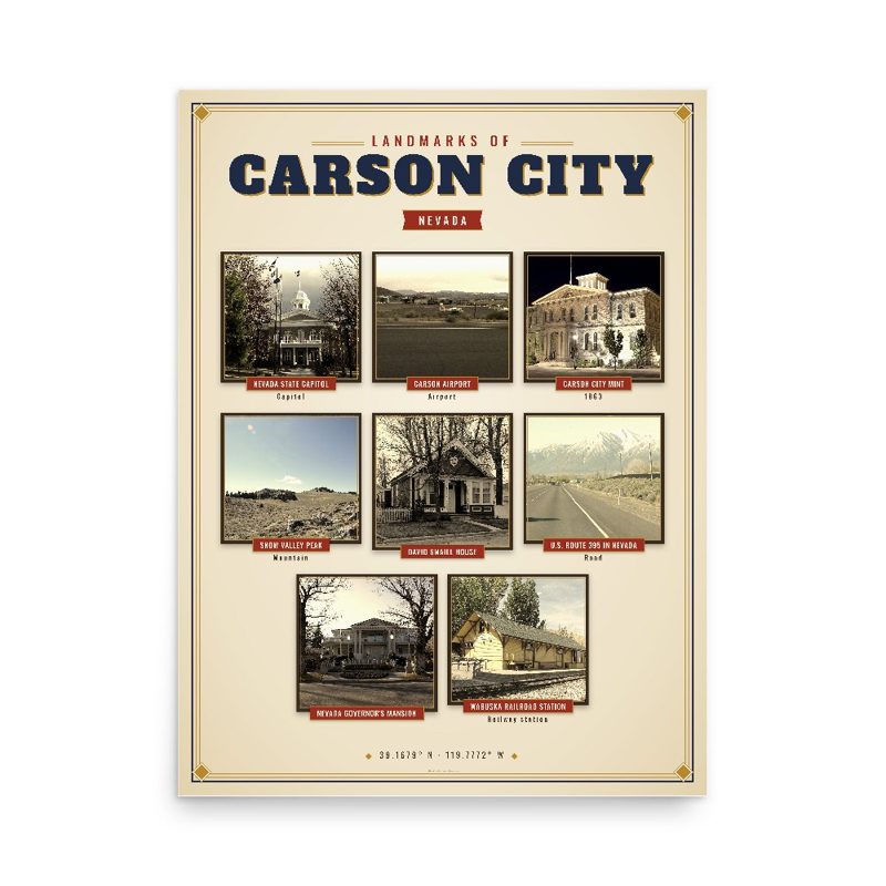
Nine local landmarks, archival matte
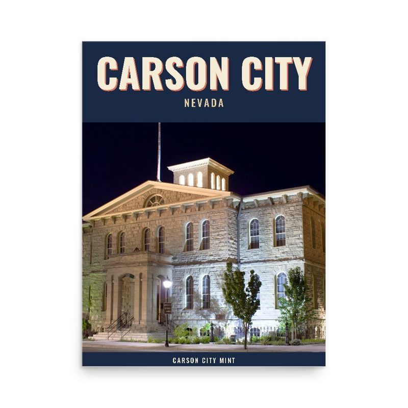
Its landmark photo in a classic travel-poster layout
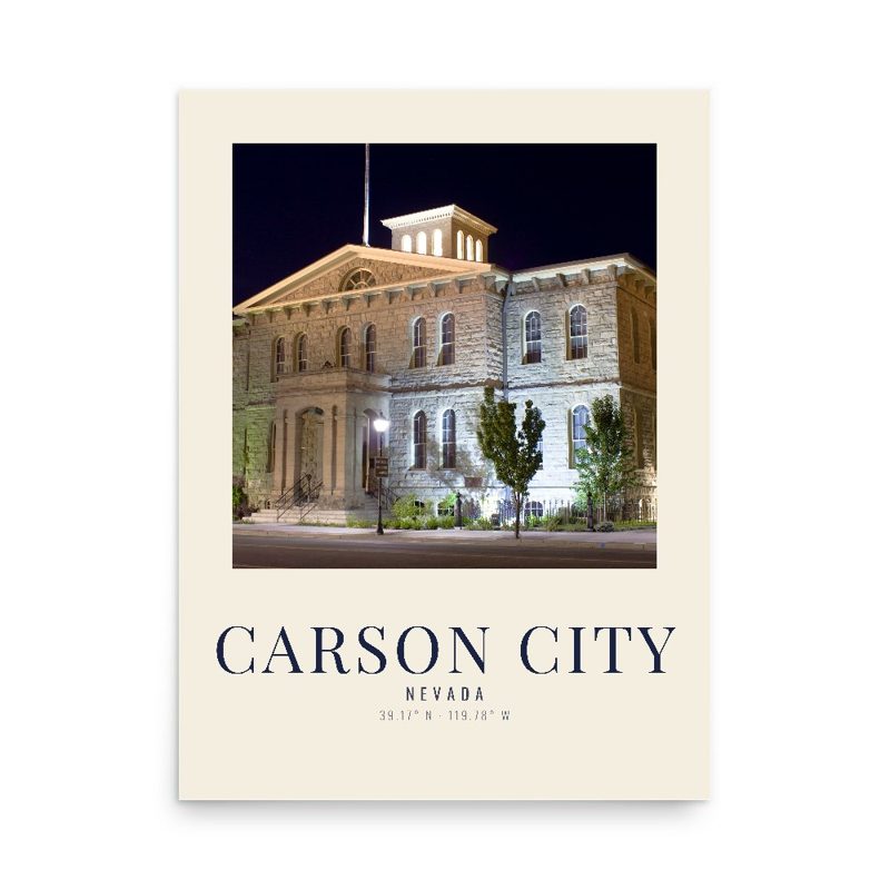
A local landmark photo as a gallery print
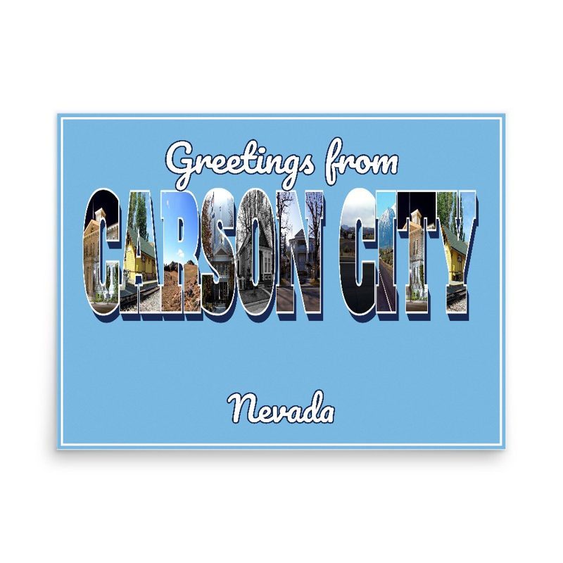
Classic large-letter postcard art, filled with local photos
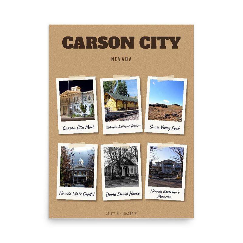
Six local landmarks as instant photos on kraft paper
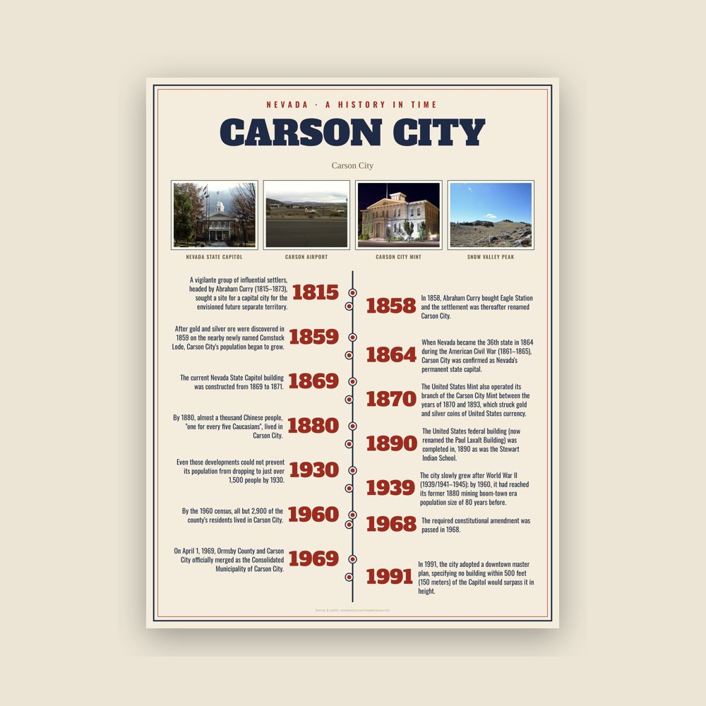
The town's story in dates, from its own records, for home or classroom
Map of local landmarks, washable fabric
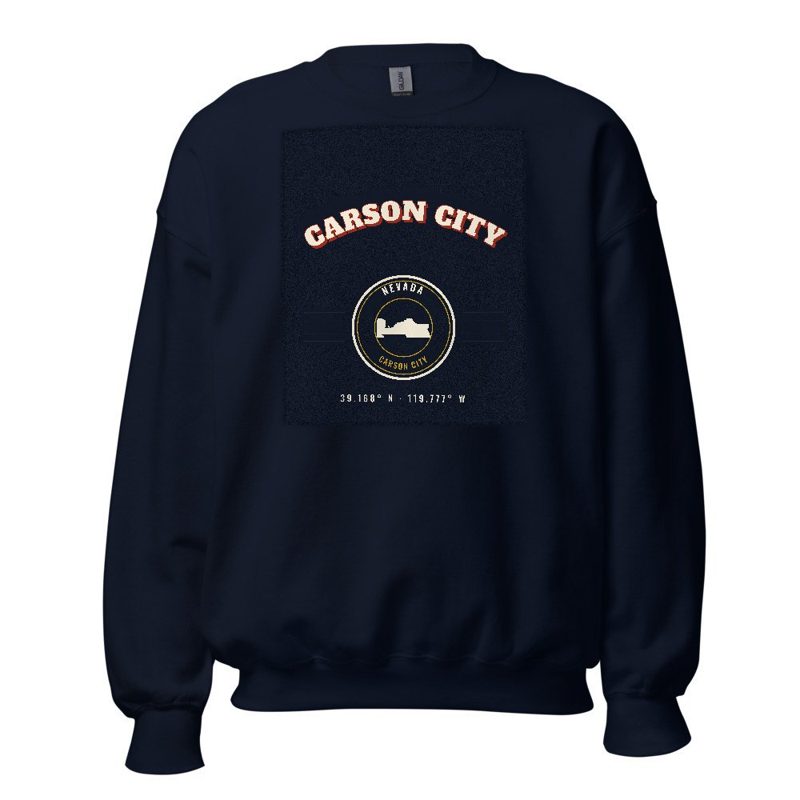
Heavy-blend fleece, street map printed on the back
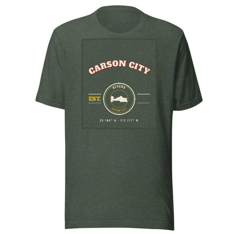
Soft Bella+Canvas jersey
Kids' Bella+Canvas jersey, youth sizes
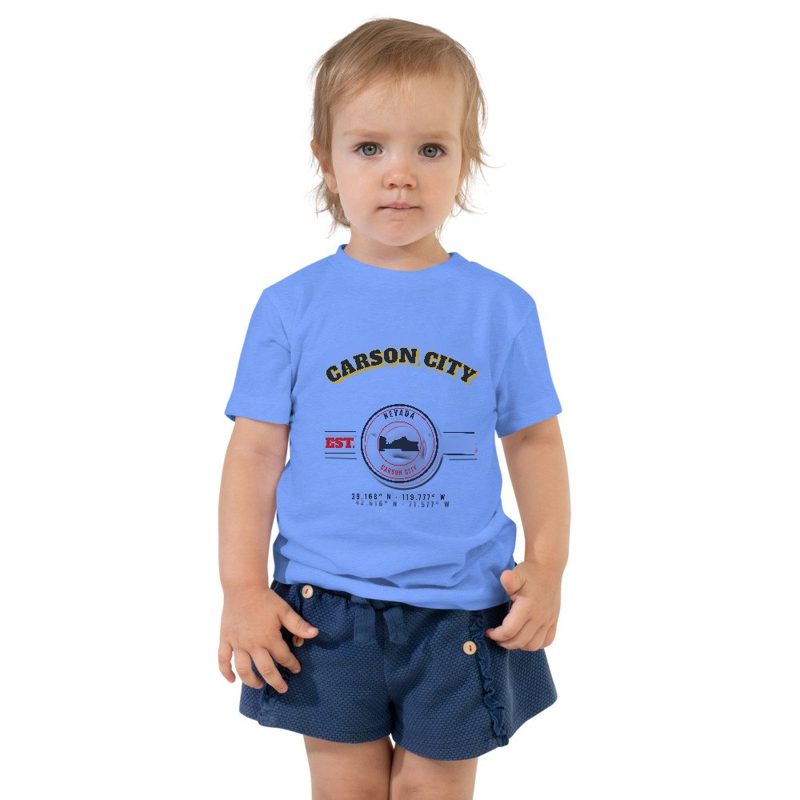
Bella+Canvas toddler jersey
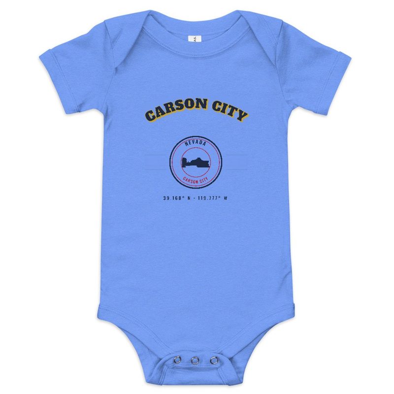
Bella+Canvas baby bodysuit
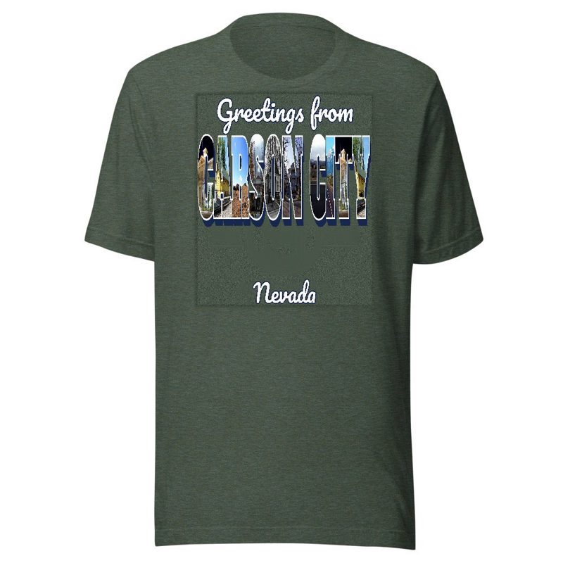
Large-letter postcard art filled with local photos
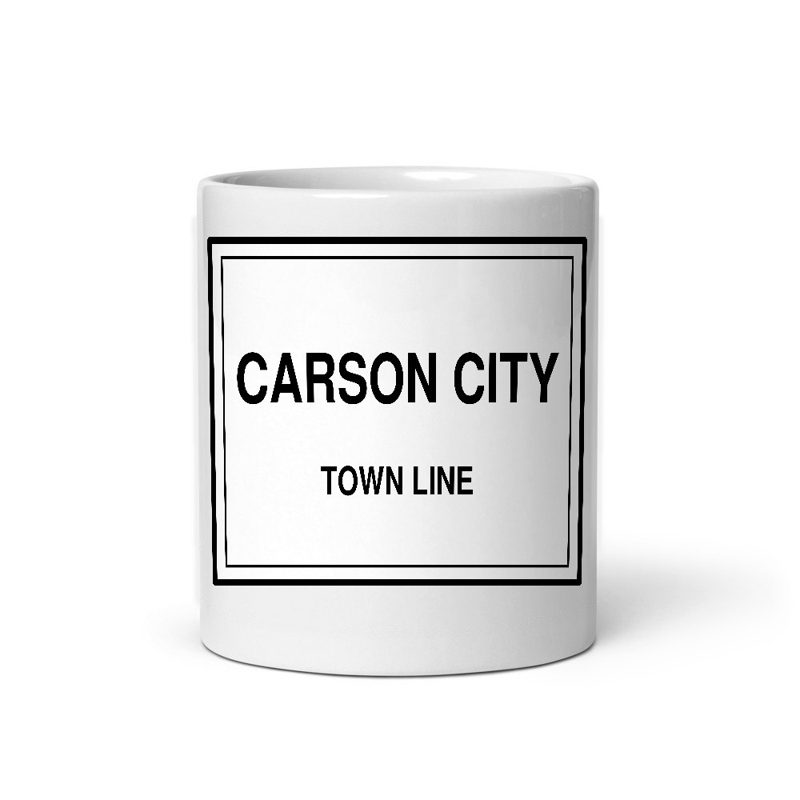
Glossy ceramic, dishwasher safe
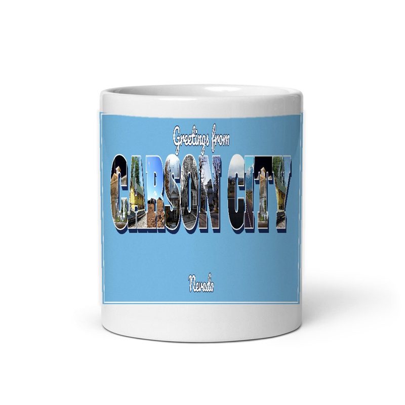
Large-letter postcard art filled with local photos, 11 oz ceramic
Weatherproof, for the front walk
24″×16″, printed coir-look fibers, rubber back
12″×12″ printed wood, ready to hang
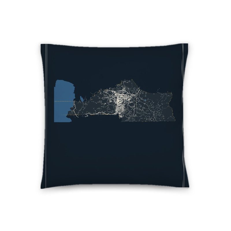
Soft-touch, zip cover
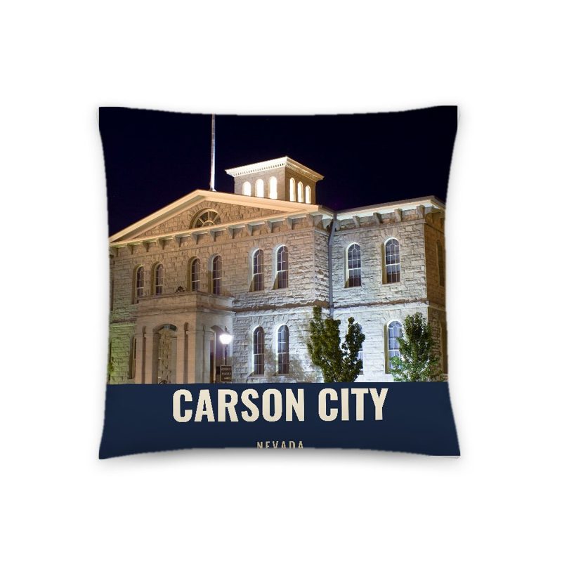
A local landmark photo with the town name, 18″×18″
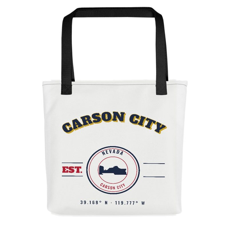
Sturdy all-over-print tote
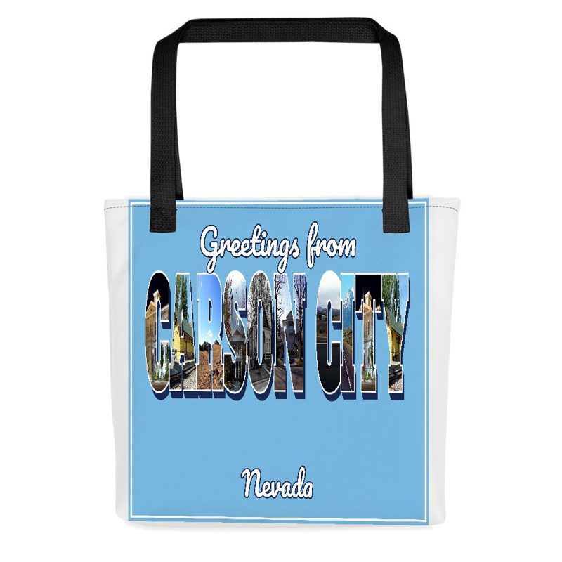
Large-letter postcard art on a sturdy tote
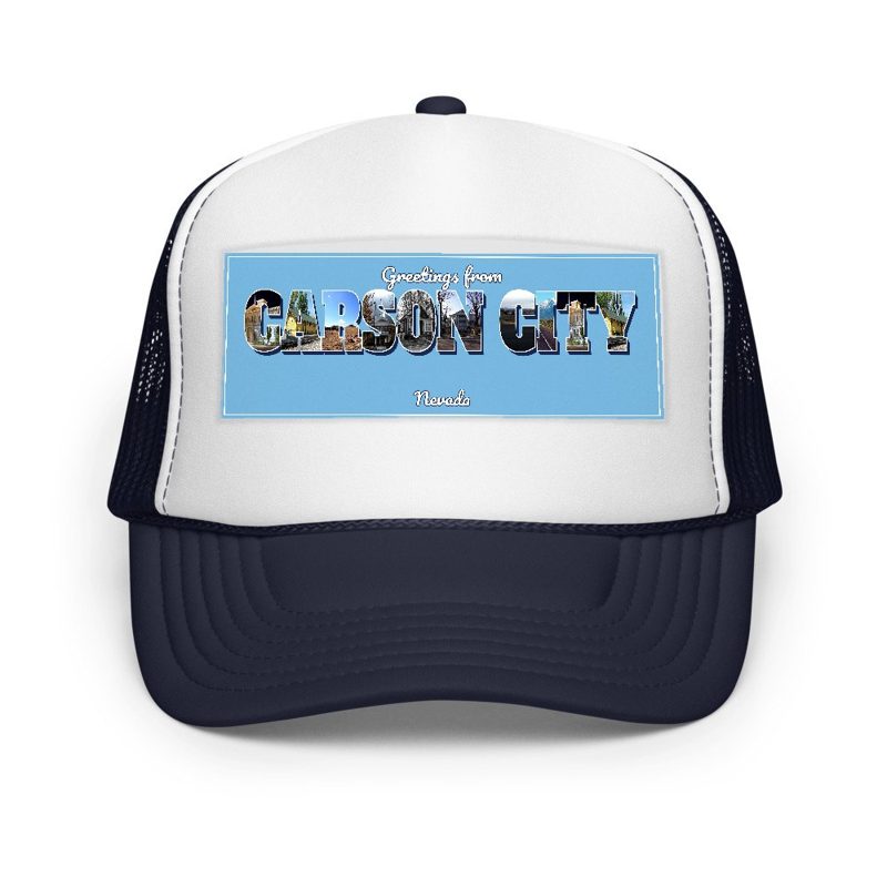
Foam-front trucker, printed (not embroidered) with local photos
Glossy top, cork back
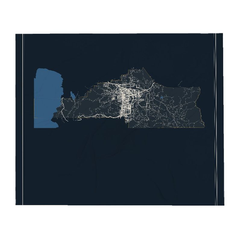
Soft fleece, 50″×60″
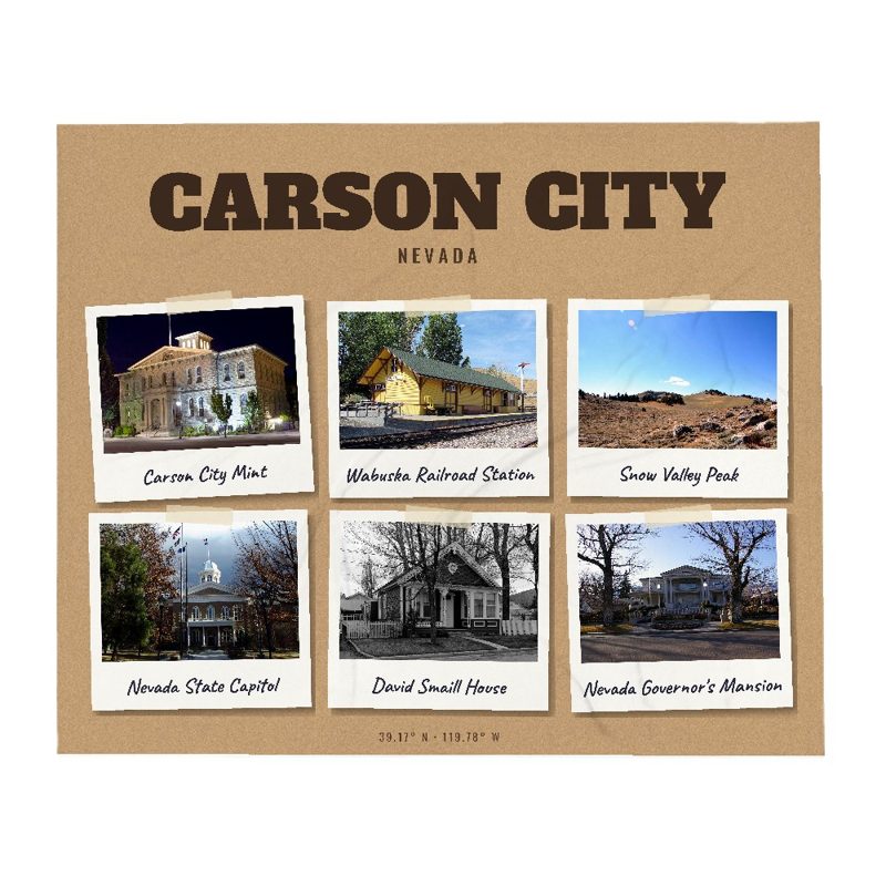
Six local landmarks as instant photos, soft fleece 50″×60″
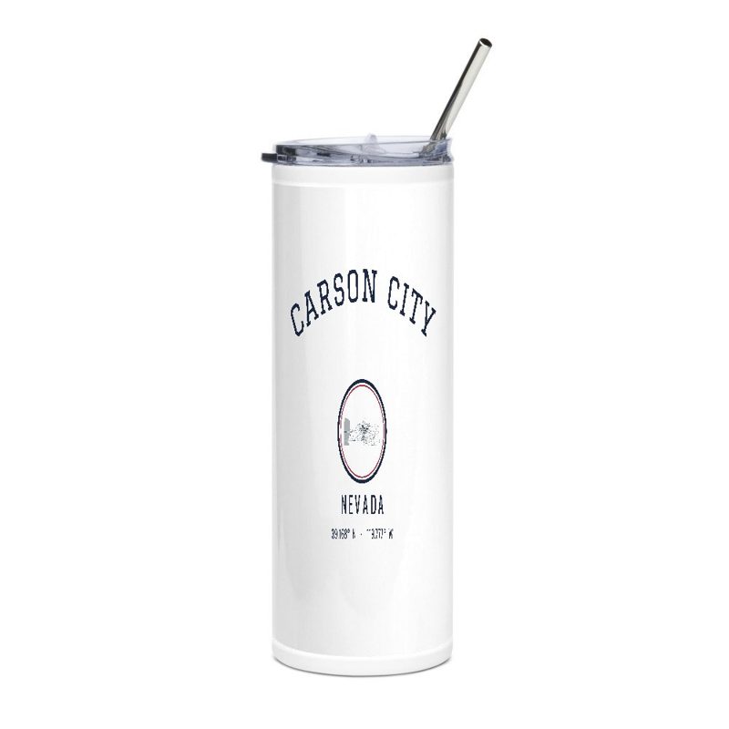
20 oz, double-wall stainless
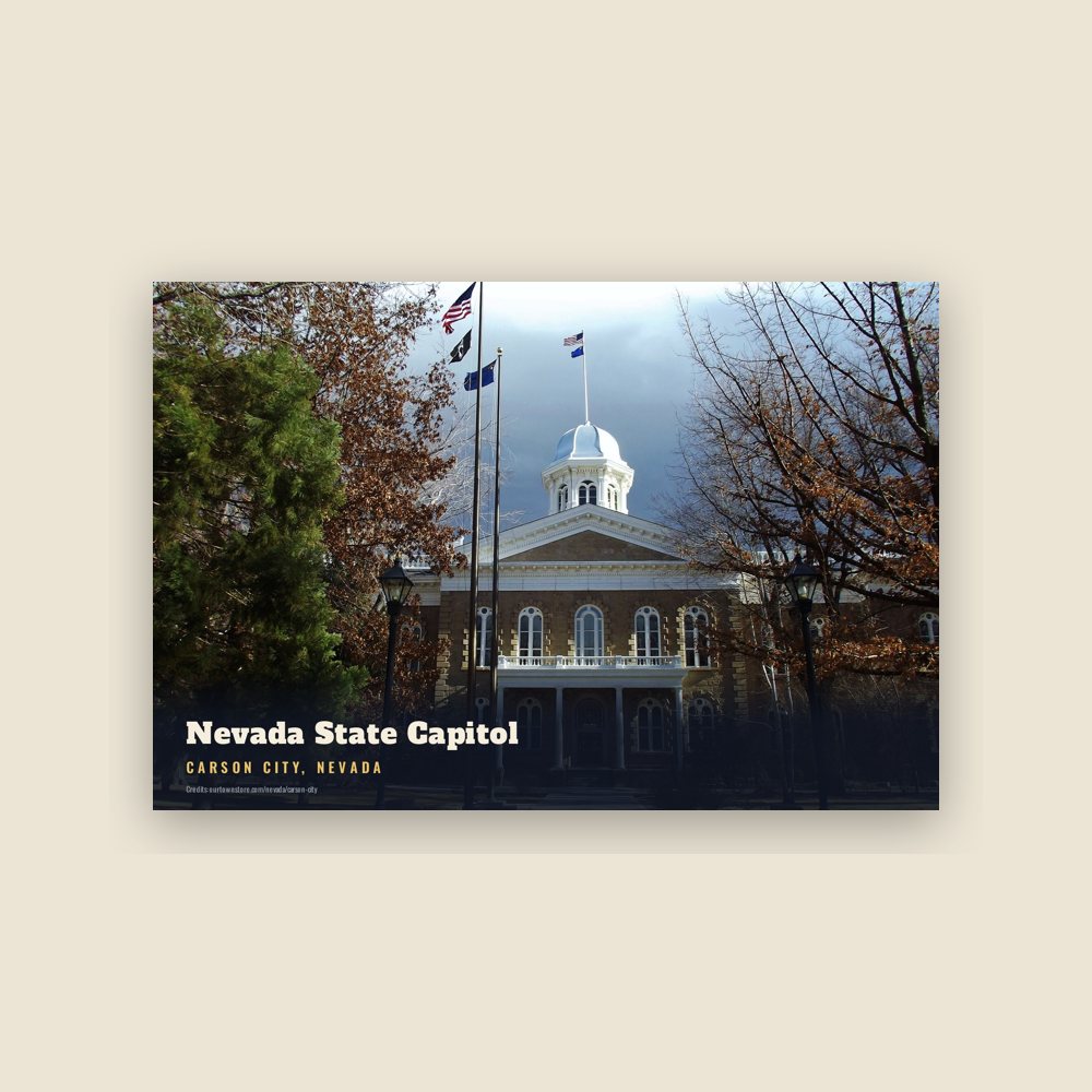
6″×4″ postcard, glossy front
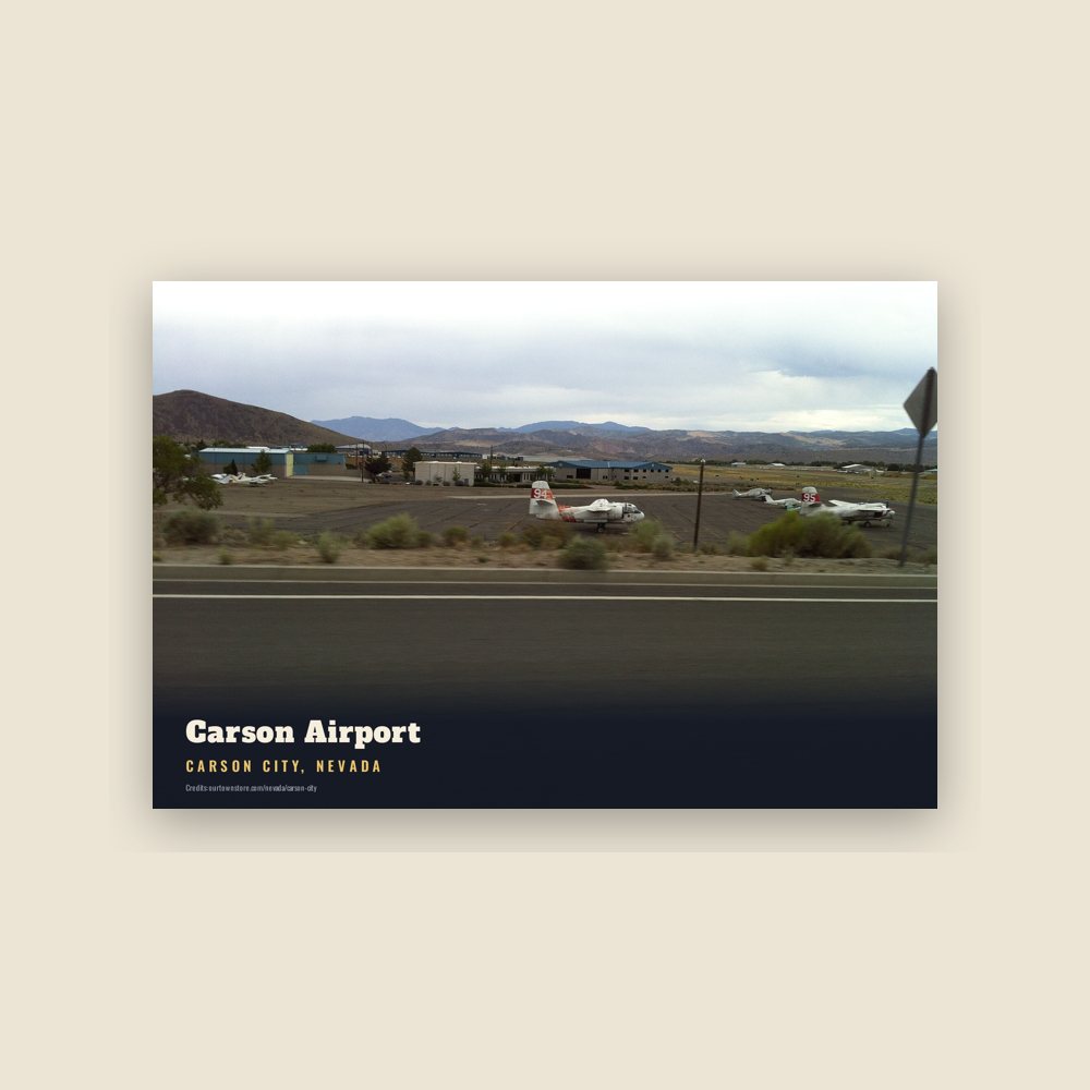
6″×4″ postcard, glossy front
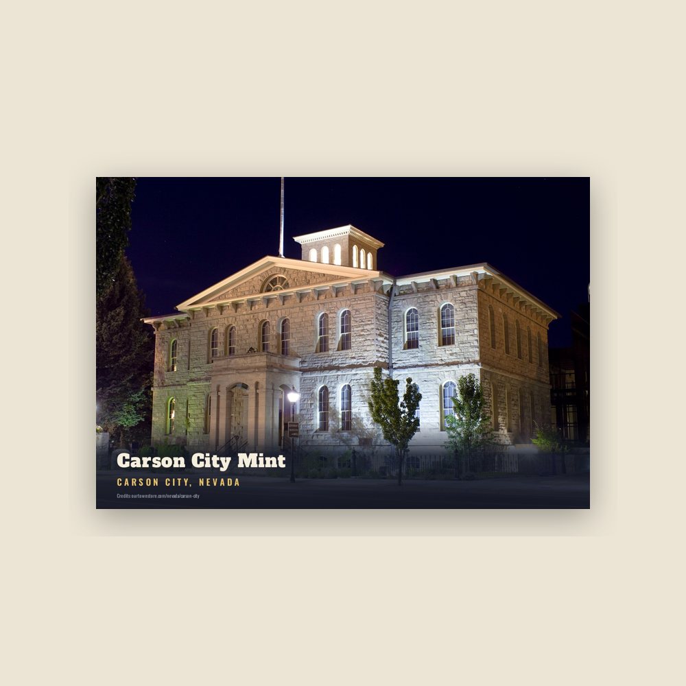
6″×4″ postcard, glossy front
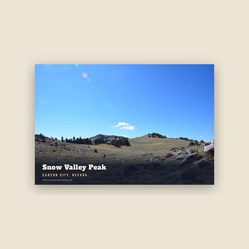
6″×4″ postcard, glossy front
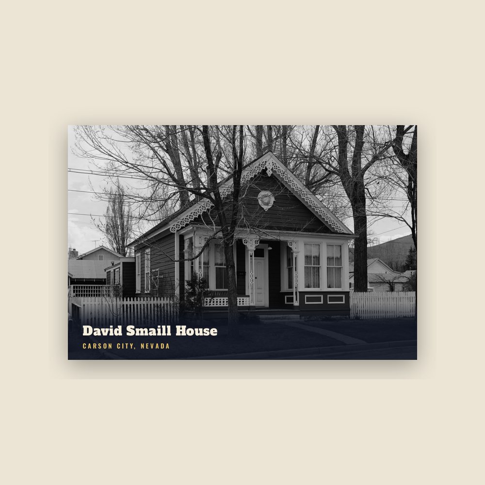
6″×4″ postcard, glossy front
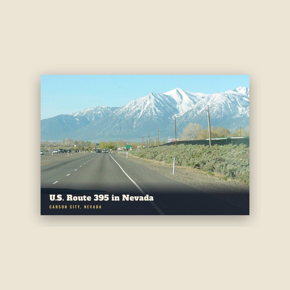
6″×4″ postcard, glossy front
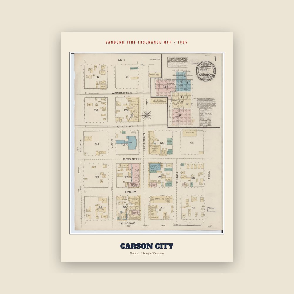
The town's earliest Sanborn fire-insurance map, drawn building by building and hand-coloured, from the Library of Congress
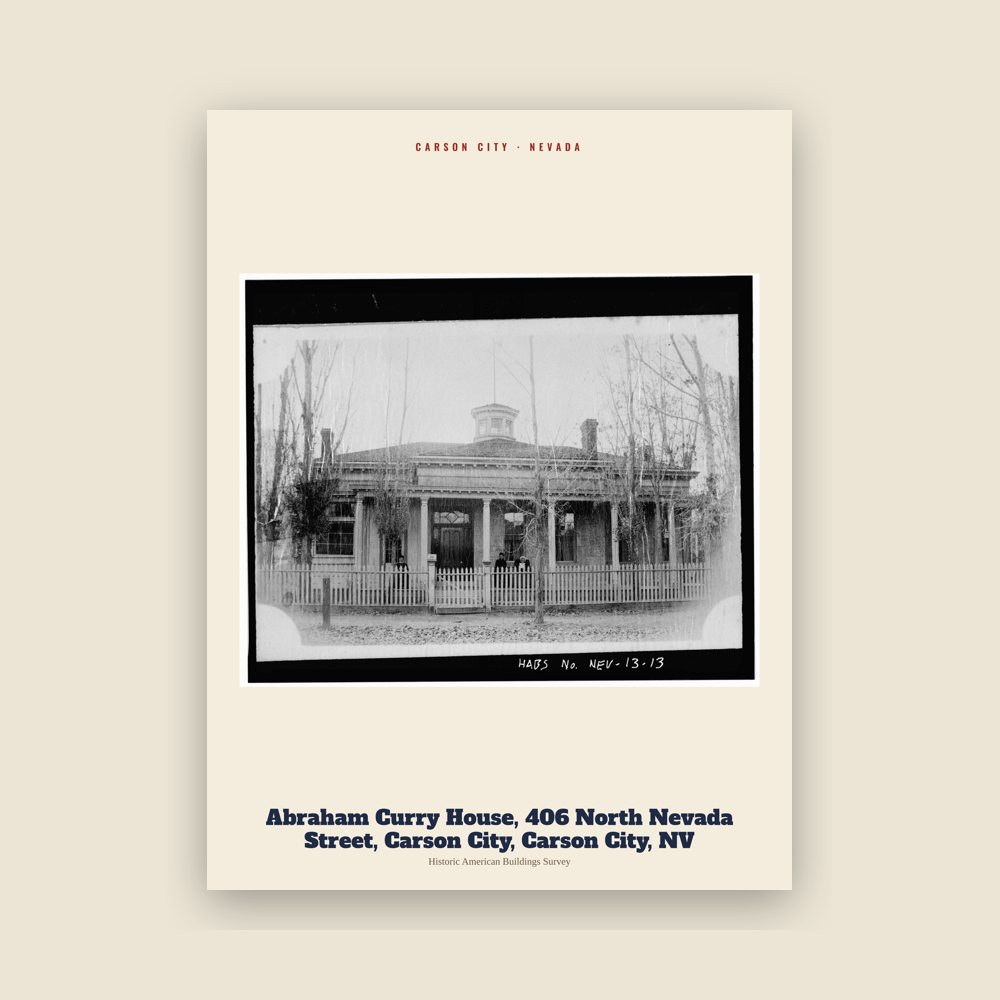
From the Library of Congress collections: a historic survey drawing or photograph of the town
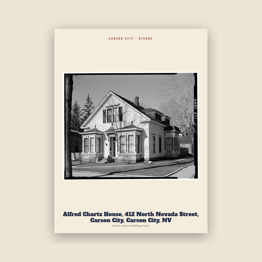
From the Library of Congress collections: a historic survey drawing or photograph of the town
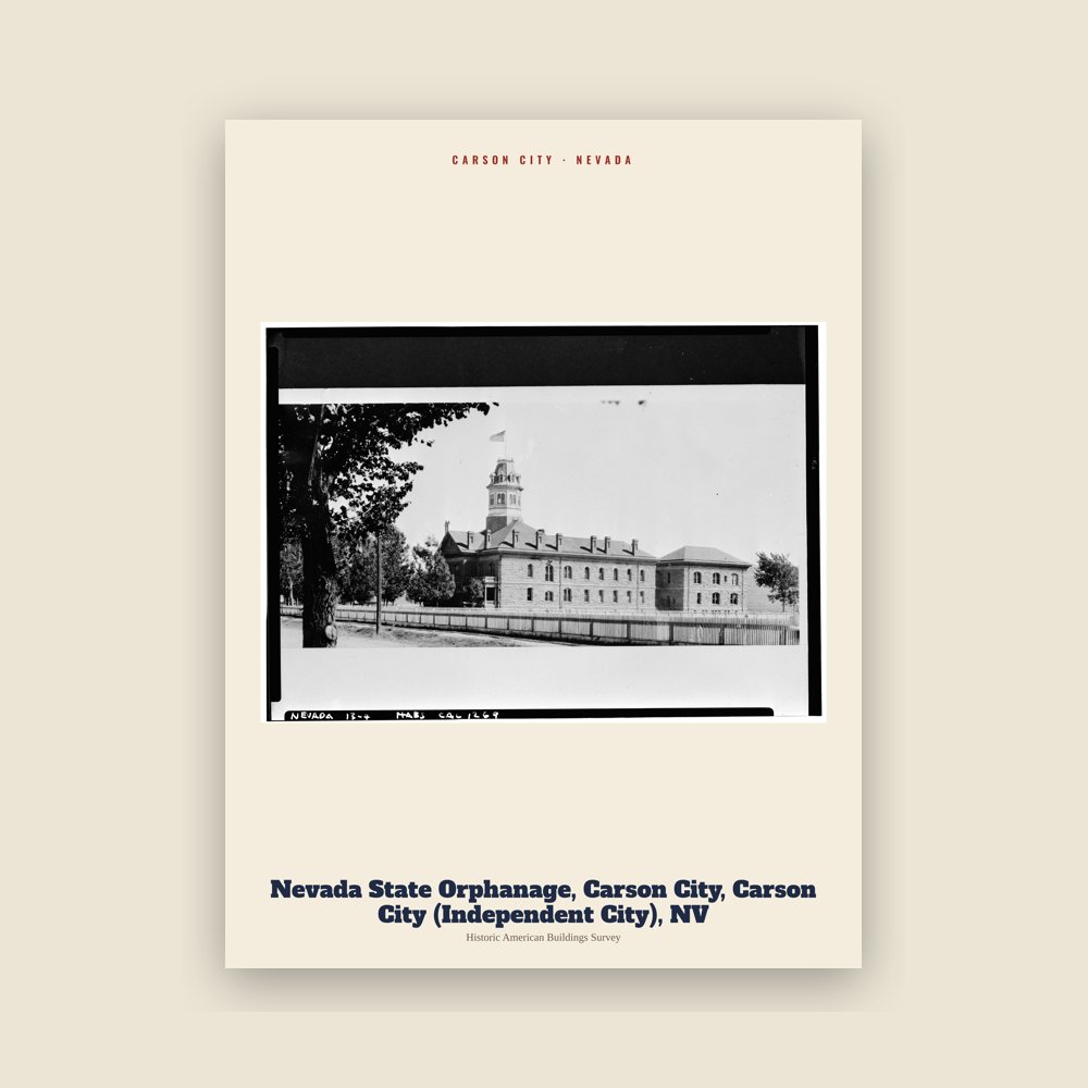
From the Library of Congress collections: a historic survey drawing or photograph of the town
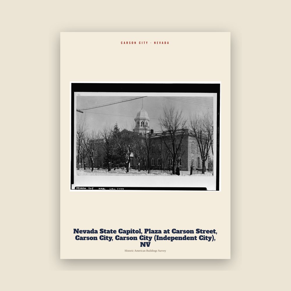
From the Library of Congress collections: a historic survey drawing or photograph of the town
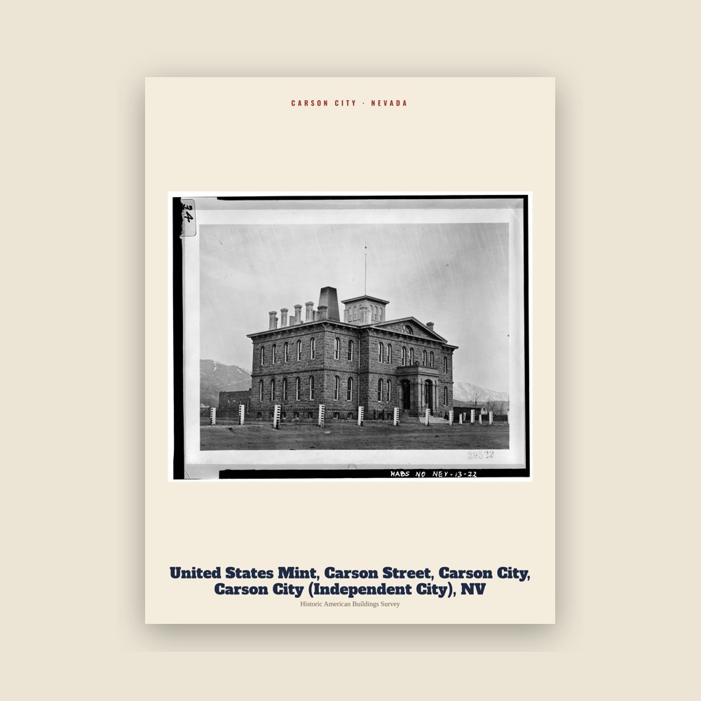
From the Library of Congress collections: a historic survey drawing or photograph of the town
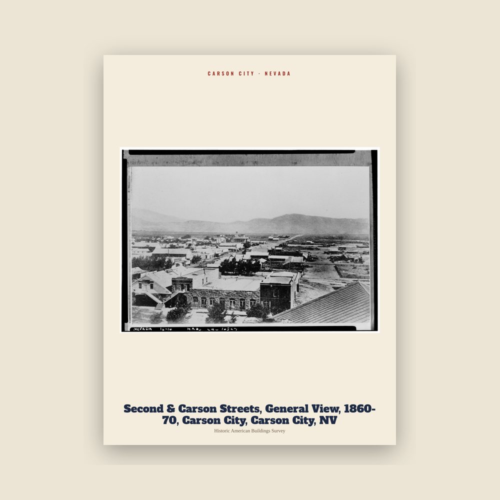
From the Library of Congress collections: a historic survey drawing or photograph of the town
Carson City is an independent city and the capital of the U.S. state of Nevada. Landmarks include Nevada State Capitol, Carson Airport and Carson City Mint.
From Wikidata (CC0).
The first European Americans to arrive in what is now known as Eagle Valley were John C. Frémont and his exploration party in January 1843. Fremont named the river flowing through the valley Carson River in honor of Kit Carson (1809–1868), the mountain man, explorer, and scout he had hired for his expedition. Later, settlers named the area Washoe in reference to the indigenous people.
By 1851, the Eagle Station ranch along the Carson River was a trading post and stop-over for westbound travelers and wagons on the California Trail's Carson Branch, which ran through Eagle Valley. The valley and the trading post received their name from a bald eagle that was hunted and killed by one of the early settlers and was featured pinned on a wall inside the post.
As the area was part of the larger Utah Territory (1850–1896), it was governed from the territorial (and later state) capital of Salt Lake City on the eastern shore of the Great Salt Lake, where the territorial government was headquartered there several hundred miles further east with Mormon (The Church of Jesus Christ of Latter-day Saints) President Brigham Young (1801–1877), as first Governor of Utah. Early settlers bristled at the control by Mormon-influenced officials and desired the creation of the provisional Nevada Territory with Isaac Roop (1822–1869, served 1859–1861), as provisional Governor. A vigilante group of influential settlers, headed by Abraham Curry (1815–1873), sought a site for a capital city for the envisioned future separate territory. In 1858, Abraham Curry bought Eagle Station and the settlement was thereafter renamed Carson City. Curry and several other partners had Eagle Valley surveyed for development. Curry decided Carson City would someday serve as the capital city and left a 10-acre (40,000 m2) plot in the center of town for a capitol building.
After gold and silver ore were discovered in 1859 on the nearby newly named Comstock Lode, Carson City's population began to grow. Curry built the Warm Springs Hotel a mile to the east of the town center. When new territorial governor James W. Nye (1815–1876, served 1861–1864), traveled east to Nevada, he chose Carson City as the territorial capital instead of earlier Genoa, which had functioned temporarily as such for the past few years. Influenced by Carson City lawyer William M. Stewart (1827–1909), who escorted him from the port of San Francisco, California, where he arrived onboard a passenger steamboat liner, then journeying uphill past Sacramento to Nevada. As such, Carson City bested Virginia City and American Flat. Curry loaned the Warm Springs Hotel to the territorial Legislature as a temporary meeting hall. The Legislature named Carson City to be the county seat of Ormsby County and also selected the hotel as the territorial prison, with Curry serving as its first warden. Today, the property is still part of the state prison.
When Nevada became the 36th state in 1864 during the American Civil War (1861–1865), Carson City was confirmed as Nevada's permanent state capital. Carson City's development was no longer dependent on the mining industry and instead became a thriving commercial center. The Virginia and Truckee Railroad was built between Virginia City and Carson City. A log flume was also built from the Sierra Nevada mountain range into Carson City. The current Nevada State Capitol building was constructed from 1869 to 1871. The United States Mint also operated its branch of the Carson City Mint between the years of 1870 and 1893, which struck gold and silver coins of United States currency. People came from China during that time, many to work on the transcontinental railroad being constructed. Some of them owned businesses and taught school. By 1880, almost a thousand Chinese people, "one for every five Caucasians", lived in Carson City.
Carson City's population and transportation traffic decreased when the Central Pacific Railroad built a branch line through Donner Pass to connect with the Carson and Colorado Railroad. The new branch also bypassed the Virginia & Truckee line and ran too far north to benefit Carson City. The city was slightly revitalized with the mining booms in nearby Tonopah and Goldfield. The United States federal building (now renamed the Paul Laxalt Building) was completed in, 1890 as was the Stewart Indian School. Even those developments could not prevent its population from dropping to just over 1,500 people by 1930. Carson City resigned itself to small city status by advertising itself as "America's smallest capital". The city slowly grew after World War II (1939/1941–1945); by 1960, it had reached its former 1880 mining boom-town era population size of 80 years before.
As early as the late 1940s, discussions began about merging Ormsby County and Carson City. By this time, the county was little more than Carson City and a few hamlets to the west. By the 1960 census, all but 2,900 of the county's residents lived in Carson City. However, the effort did not pay off until 1966, when a statewide referendum approved the merger. The required constitutional amendment was passed in 1968. On April 1, 1969, Ormsby County and Carson City officially merged as the Consolidated Municipality of Carson City. With this consolidation, Carson City absorbed former town sites such as Empire City, which had grown up in the 1860s as a milling center along the Carson River and current U.S. Route 50. Carson City could now advertise itself as one of America's largest state capitals with its 146 square miles (380 km2) of city limits.
In 1991, the city adopted a downtown master plan, specifying no building within 500 feet (150 meters) of the Capitol would surpass it in height. This plan effectively prohibited future high-rise development in the center of downtown. The Ormsby House is the tallest building in downtown Carson City, at a height of 117 feet (36 m). The structure was completed in 1972.
Adapted (trimmed) from the Wikipedia article CARSON CITY, Nevada, revision 1384254313 by its contributors, licensed CC BY-SA 4.0.
We share a part of every CARSON CITY sale with local partners, and we'd love to print from your collection. Old photographs, maps and postcards make the best keepsakes.
Partner with usA favorite landmark, your street, a school or team, an anniversary gift, a different product. Tell us and we'll get back to you by email.
12 free coloring pages of Carson City, each traced from a photo of a local landmark. Print them at home, at school or for story hour.
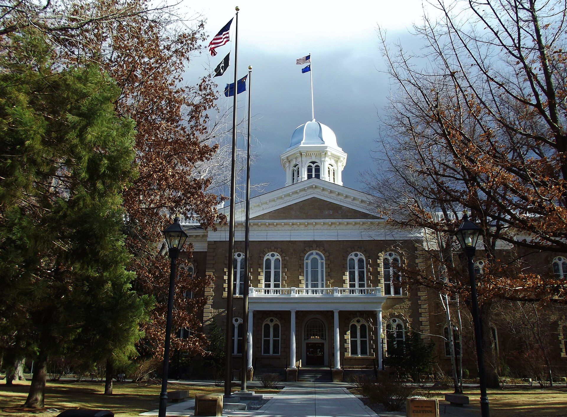
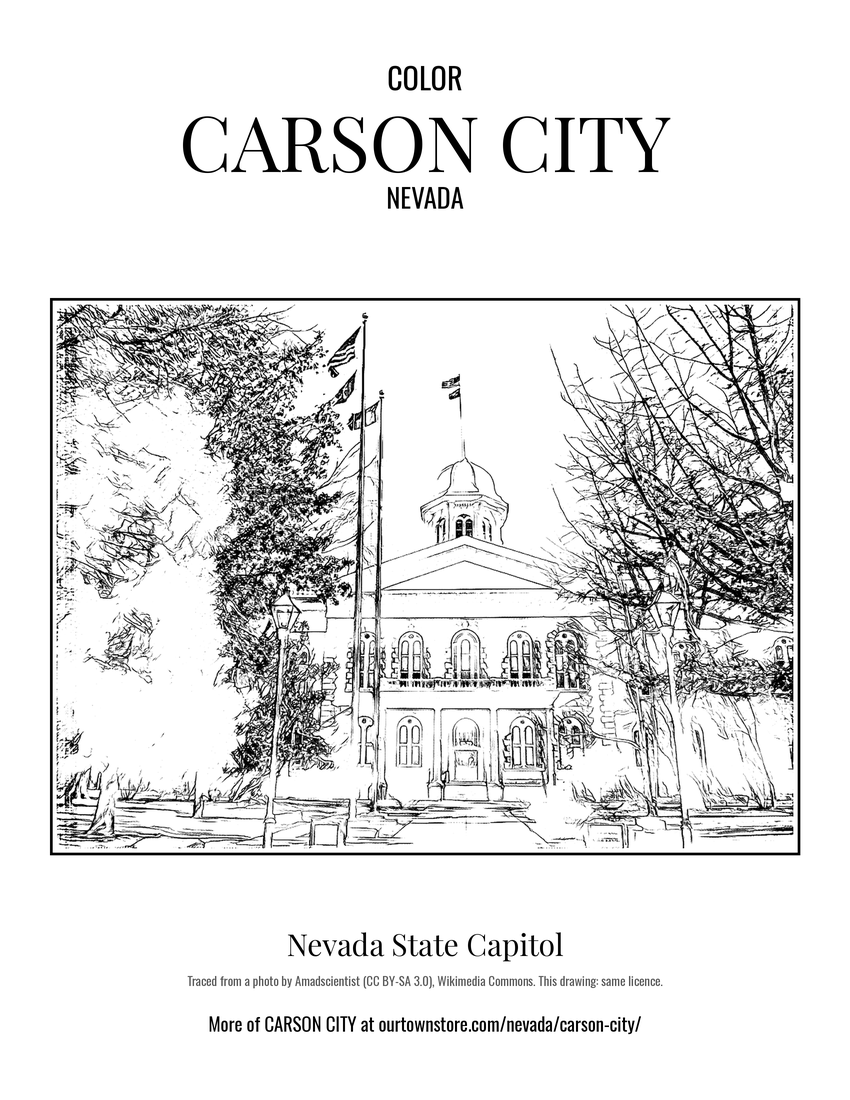 Nevada State Capitol
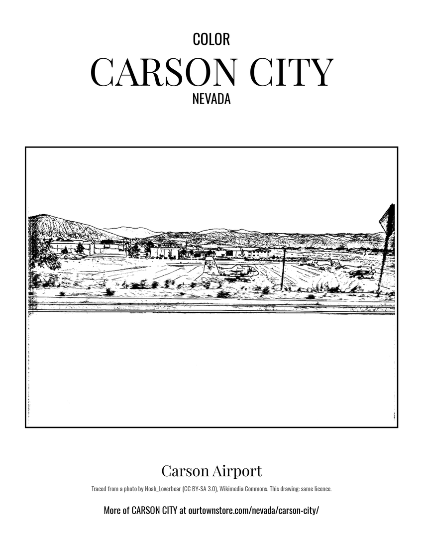 Carson Airport
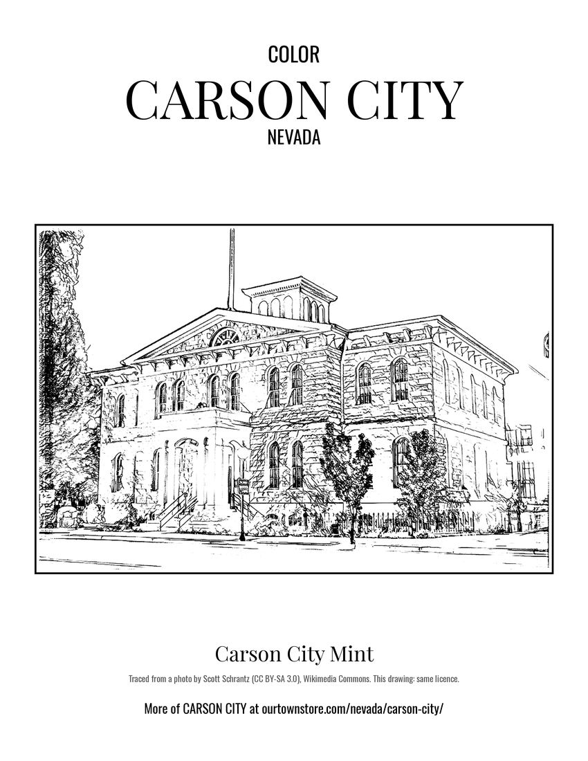 Carson City Mint
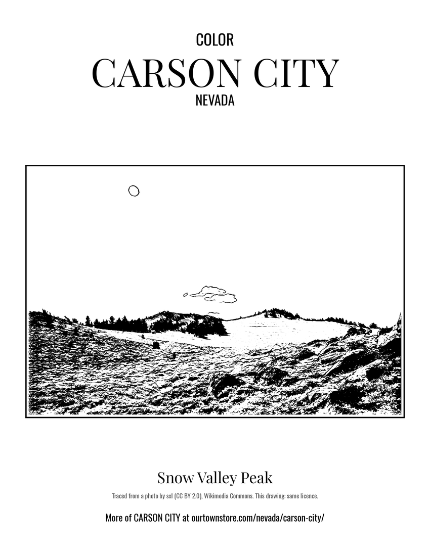 Snow Valley Peak