Claremont, located in southeastern Minnesota, was established in the mid-19th century. Its development was initially influenced by the area’s rich agricultural potential and its proximity to major transportation routes, including railroads and highways. The Chicago and North Western Railway played a crucial role in Claremont's early economic development, helping to establish the city as a hub for agricultural trade. The city's incorporation in 1878 formalized its role in the region, and it grew steadily as a small agricultural community, serving the surrounding farming population.
Read the full history
Influence Exerted by Major Powers in Development
The influence of major powers in Claremont’s development primarily came from the federal and state governments, which provided infrastructure, such as roads and railways, that facilitated the city’s growth. The Chicago and North Western Railway’s expansion across the Midwest further linked Claremont to regional markets, boosting its economy. The railroad era also helped shape the city’s early settlement patterns and economic structure. The broader agricultural policies of Minnesota also influenced the region, encouraging farming and rural development in the area.
Divisions or Partitions Resulting from Wars and Treaties
Claremont's history has not been significantly shaped by wars or treaties. The area was originally inhabited by Indigenous peoples before being settled by European Americans in the mid-19th century. There are no specific historical records indicating significant partitions or divisions of the land due to wars or treaties, though the broader history of the United States’ westward expansion and settlement affected the development of communities like Claremont.
Major Geographic or Political Factors to the Current Status of the Area
The major geographic factors that have influenced Claremont’s development are its location within the Minnesota Prairie and southeastern Minnesota's relatively flat and gently rolling terrain. The city is situated near the Zumbro River, which provides access to water resources, but it is not located directly on any major waterways or ports. Politically, Claremont is part of Dodge County, which provides governance and public services, while the city itself operates under a mayor-council system. The nearby city of Rochester, known for its healthcare and educational industries, has provided an economic and population draw for the area, influencing the city’s status and development.
Present Form of Government and Previous Forms of Government
Claremont currently operates under a mayor-council system, with an elected mayor and city council members overseeing local governance. The city was incorporated in 1878, and since that time, it has retained a small-town, locally-driven governance structure. While Claremont has always had an organized municipal government, the form has remained relatively unchanged over time. Prior to its incorporation, the town was governed by a combination of territorial and county oversight, typical of settlements in early Minnesota.
Extent of Political Control Over Other Areas
Claremont's political control is confined to its own city limits and does not extend to neighboring municipalities or counties. It is part of the broader governance structure of Dodge County, which provides certain services and oversight for the region. The city's government works alongside the county’s government to address broader issues such as regional transportation, infrastructure, and land-use policies, but Claremont has no formal control over adjacent areas.
Degree of Control Over the Population Exercised by Government
Claremont’s local government exercises a moderate degree of control over its population, largely through municipal ordinances, zoning regulations, and local law enforcement. The city has the authority to regulate land use, manage public infrastructure, and enact policies related to public safety, health, and welfare. However, because of its small size, Claremont’s governance is relatively minimal in its scope compared to larger urban areas.
Susceptibility of Existing Government Toward Major Powers
As a small town, Claremont’s government is subject to the influence of state and federal authorities, particularly in areas such as law enforcement, transportation, and economic policy. While the city exercises local governance, it is also subject to broader state-level regulations and federal policies that impact its development and services. The influence of larger powers like the state government of Minnesota and federal agencies is particularly felt in areas such as funding for infrastructure and education, where Claremont relies on state and federal support.
Political Organization of the Area
Claremont is situated within the political structure of Dodge County, which is governed by a five-member board of commissioners. The city is part of Minnesota’s Senate District 26 and House District 26B, which include other small towns and rural areas in southeastern Minnesota. Claremont’s mayor-council system provides local governance, while county and state governments oversee larger regional matters. The city’s governance is directly influenced by both local citizens and the broader political framework of Minnesota and the United States.



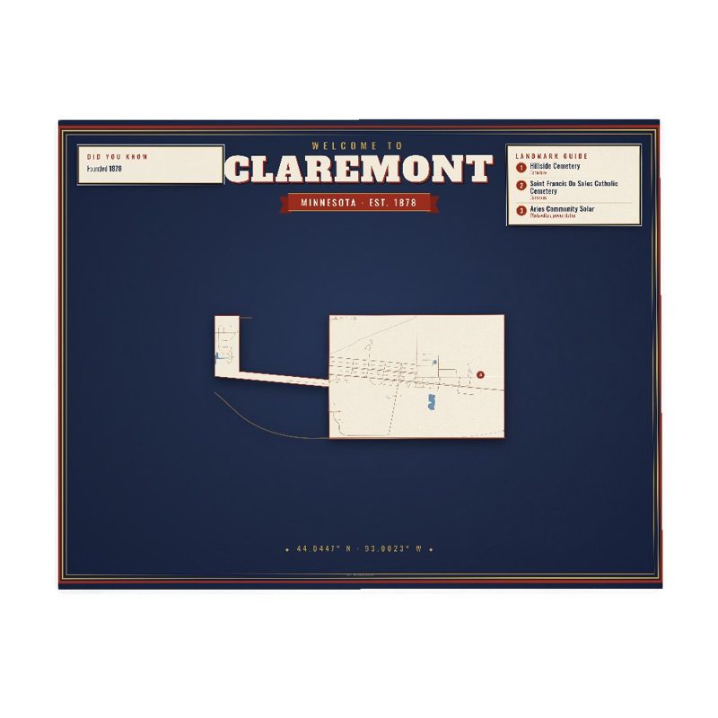









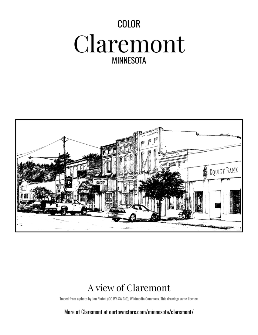 A view of Claremont