Macomb County, Michigan
Street maps, historic prints and keepsakes for 12 Macomb County towns.
The oldest is New Baltimore, established 1867. The largest by population is Sterling Heights (134,346).
| Town | Established | Population |
|---|---|---|
| Armada | – | 1,684 |
| Center Line | 1925 | 8,552 |
| Eastpointe | 1924 | 34,318 |
| Fraser | – | 14,726 |
| Mount Clemens | – | 15,697 |
| New Baltimore | 1867 | 12,117 |
| Richmond | 1879 | 5,878 |
| Romeo | – | 3,767 |
| Roseville | 1926 | 47,710 |
| St. Clair Shores | – | 58,874 |
| Sterling Heights | – | 134,346 |
| Utica | – | 5,245 |
About these towns
Armada: The first record of land purchased in the area that became Armada Township was made by John Proctor in 1825. Twenty-three more families had bought land in the rural area by 1832.
Center Line: Historically, the land that Center Line came to occupy was swamp and wilderness until the early nineteenth century. As land became scarce, French, German, Belgian, and Irish immigrants began clearing the forests and draining the swamps.
Eastpointe: The community was first settled by Irish and German immigrants in the 1830s. In October 1897, a post office was established there with the name of "Half-way", as it was near the halfway point of the stage run between downtown Detroit and the Macomb County seat at Mount Clemens.
Fraser: The village of Fraser was incorporated by an act of the state legislature in 1894. It was named for a lawyer from Detroit named Alexander J.
Mount Clemens: Mount Clemens was first surveyed in 1795 after the Revolutionary War by Christian Clemens, who settled there four years later. Clemens was the son of a Pennsylvanian Mennonite farming family Clemens and his friend Oliver Wiswell purchased a distillery built in 1797 by John Brooks, which attracted workers and customers, helping to settle the area.
New Baltimore: New Baltimore incorporated as a village in 1867 and as a city in 1931. Previously, it was split between Macomb and St.
Richmond: In 1835, Erastus Beebe set out with two brothers and several other people to create a new city out of a wilderness area in Michigan.
Romeo: A settlement here was originally occupied by the indigenous Chippewa (Ojibwe), an Algonquian-speaking people who were part of a large language family of tribes extending to the Atlantic Coast.
Roseville: The village of Roseville was incorporated in 1926, and the municipal building was constructed in 1929 at Gratiot Avenue and Meier Road.
St. Clair Shores: Located along the shores of Lake St. Clair and inhabited by French settlers as early as 1710, during which time the area was referred to as L'anse Creuse, the future St.
Sterling Heights: As a result of the War of 1812 and the 1817 Treaty of Fort Meigs, the area of the Michigan Territory which now makes up Sterling Heights was first surveyed by Deputy Surveyor Joseph Wampler; his survey was approved on February 20, 1818.
Utica: The city now known as Utica was platted by Joseph Stead in 1829, who named it "Harlow". Others referred to the community as "Hog's Hollow" or "McDougalville", until a few years later it was named "Utica" by settlers from New York, in honor of the city of the same name in that state.
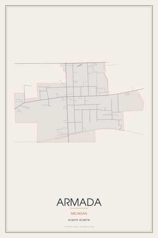 ArmadaMichigan
 Center LineMichigan · Est. 1925
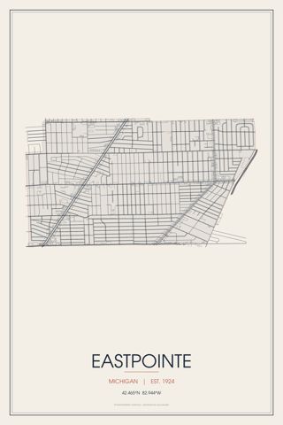 EastpointeMichigan · Est. 1924
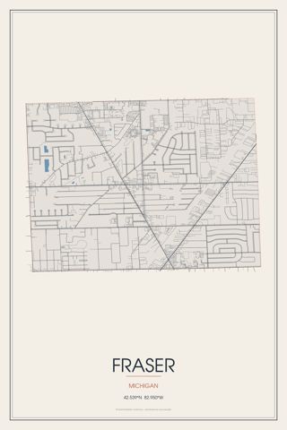 FraserMichigan
 Mount ClemensMichigan
 New BaltimoreMichigan · Est. 1867
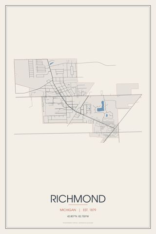 RichmondMichigan · Est. 1879
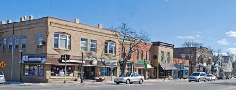 RomeoMichigan
 RosevilleMichigan · Est. 1926
 St. Clair ShoresMichigan
 Sterling HeightsMichigan
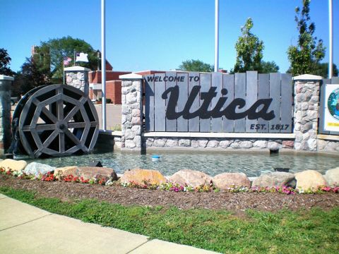 UticaMichigan
Founding years, populations and town notes come from each town's Wikipedia and Wikidata entries. All Michigan towns.