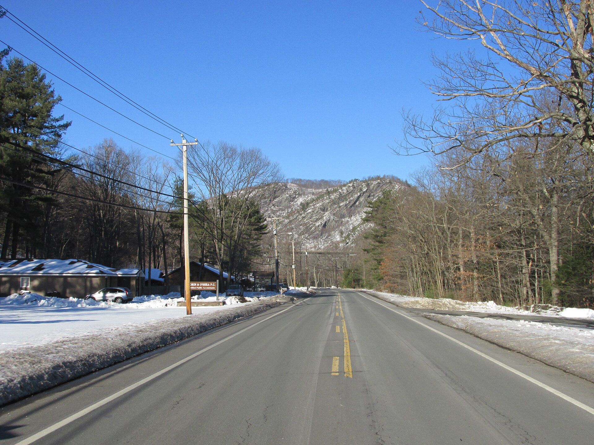
Montgomery was first settled in 1767 and was officially incorporated in 1780 during the American Revolutionary War.
Every piece is drawn from Montgomery's own map data and historic archives, then printed and shipped from the USA when you order. No two towns look alike.
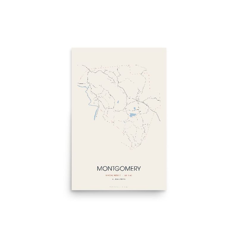
Every road in town, on archival matte paper
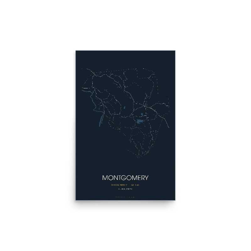
The same map, in navy and silver
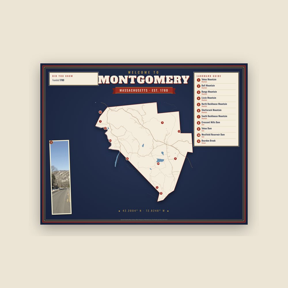
Map of local landmarks, washable fabric
Heavy-blend fleece, street map printed on the back
Soft Bella+Canvas jersey
Glossy ceramic, dishwasher safe
Ceramic keepsake, gold ribbon
Weatherproof, for the front walk
Soft-touch, zip cover
Sturdy all-over-print tote
Glossy top, cork back
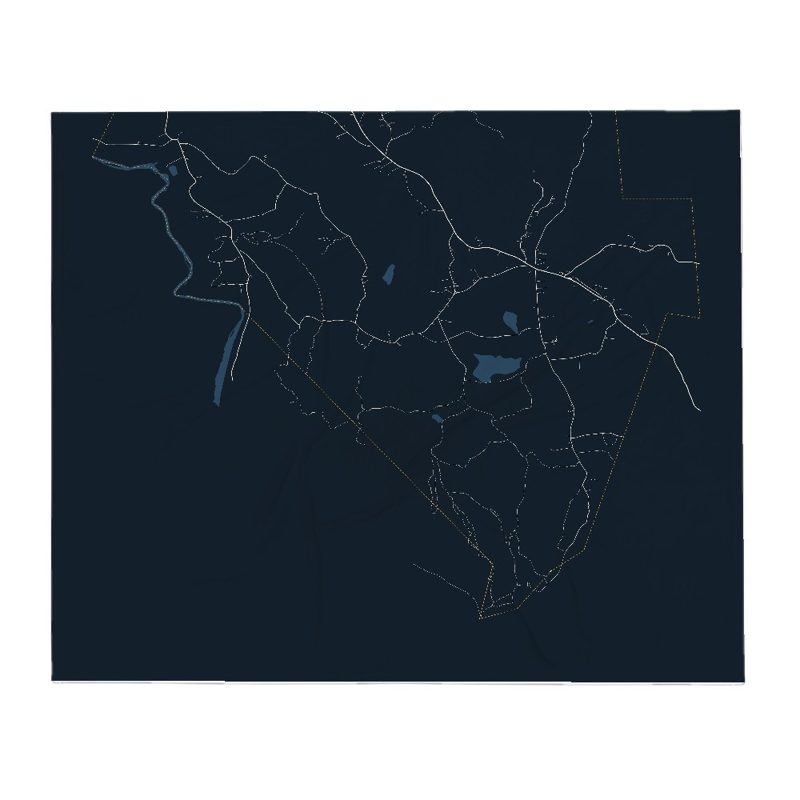
Soft fleece, 50″×60″
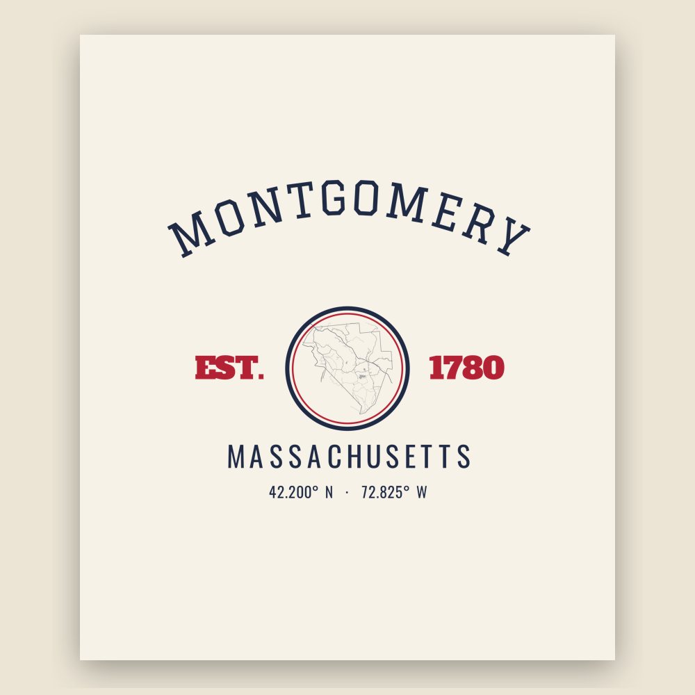
20 oz, double-wall stainless
Montgomery was first settled in 1767 and was officially incorporated in 1780 during the American Revolutionary War. The town was named after General Richard Montgomery, who died in the Battle of Quebec, part of an American attempt to capture Quebec City and gain Canadien support for the Patriot movement. The town took land from Westfield, Southampton, and unincorporated land that is now Huntington. For two centuries a farming community with a small town center, its population began to increase when Interstate 90 was built in 1957. Montgomery serves as an outer commuter town to Springfield.
Adapted (trimmed) from the Wikipedia article Montgomery, Massachusetts, revision 1377769628 by its contributors, licensed CC BY-SA 4.0.
We share a part of every Montgomery sale with local partners, and we'd love to print from your collection. Old photographs, maps and postcards make the best keepsakes.
Partner with us