Our Town Store
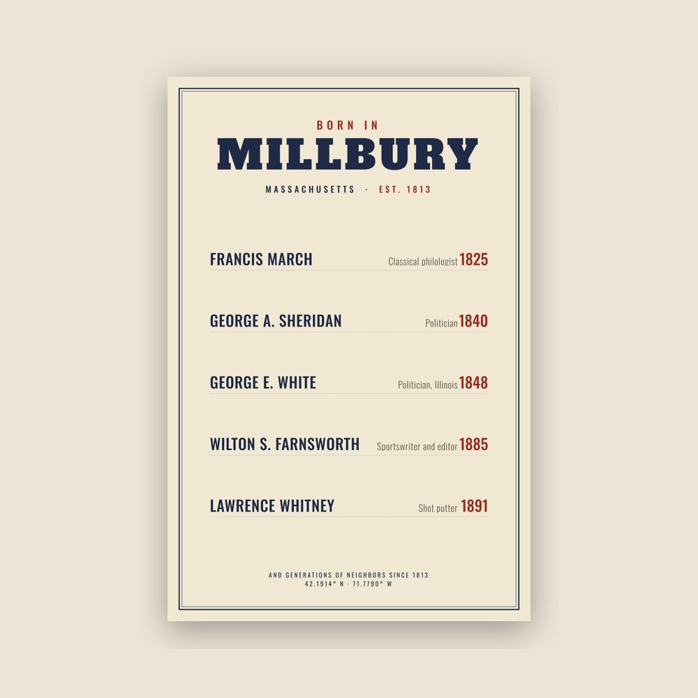
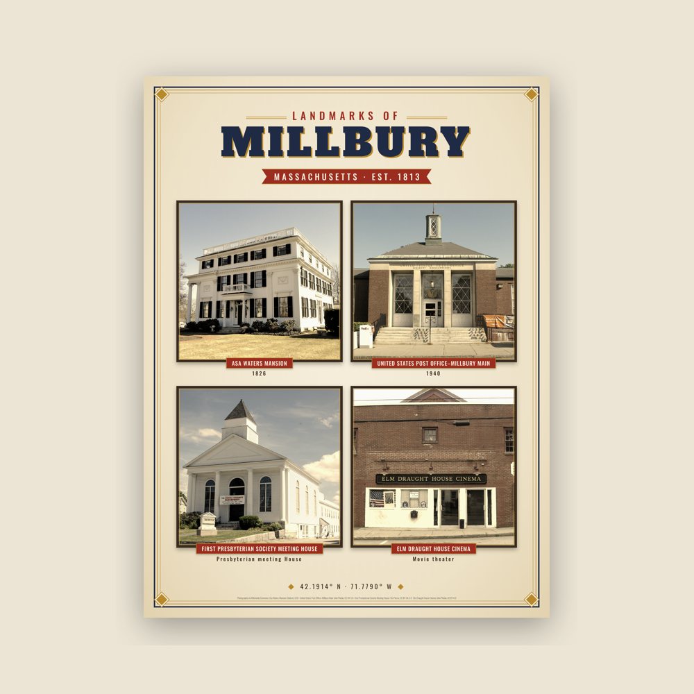
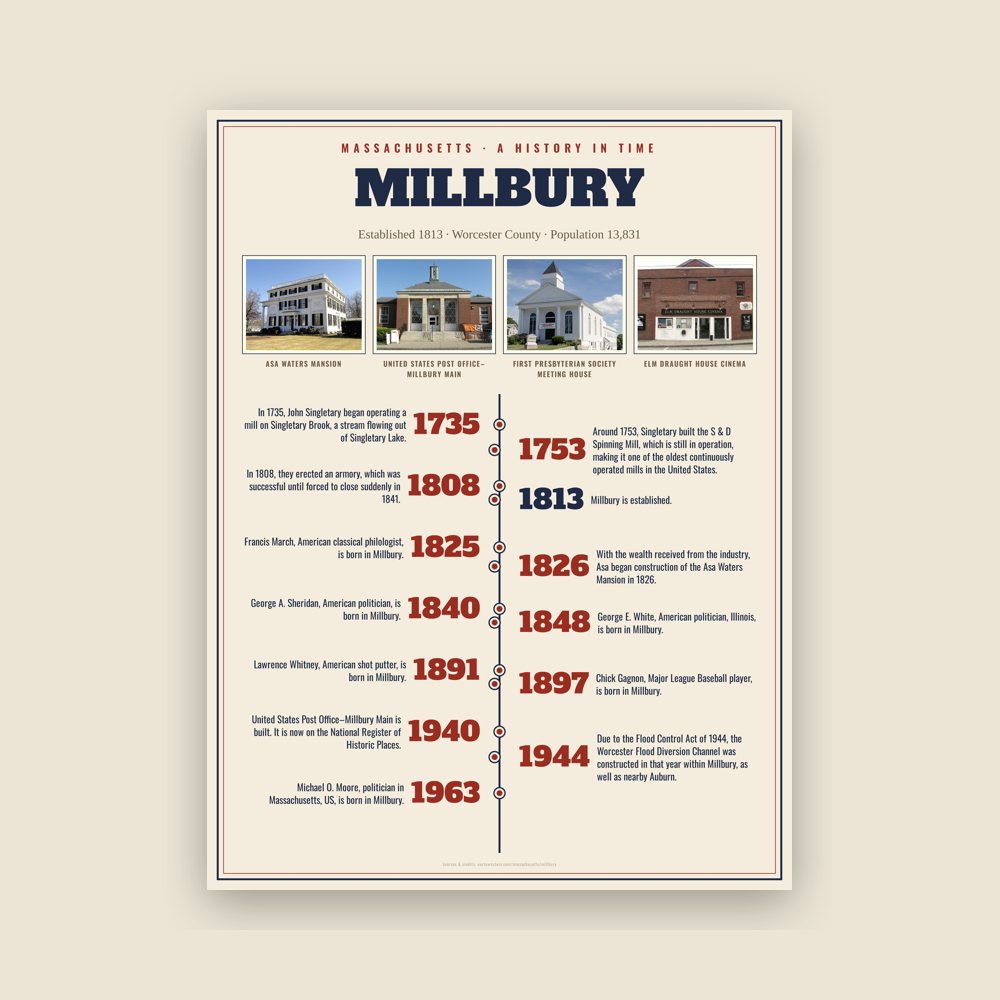
Header photo: Asa Waters Mansion by Daderot, CC0, via Wikimedia Commons. Product photos via Wikimedia Commons: Asa Waters Mansion: Daderot, CC0; United States Post Office–Millbury Main: John Phelan, CC BY 3.0; First Presbyterian Society Meeting House: Tim Pierce, CC BY-SA 3.0; Elm Draught House Cinema: John Phelan, CC BY 4.0. Timeline text quoted from Wikipedia (CC BY-SA 4.0). Archive prints: Library of Congress, no known restrictions.
About Partners Shipping Returns Privacy Terms hello@ourtownstore.com
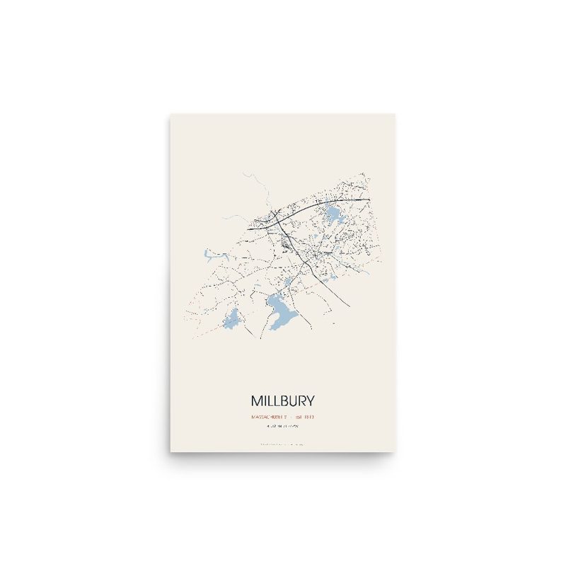
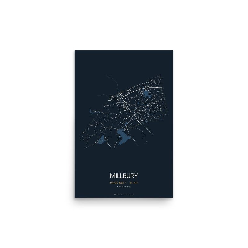
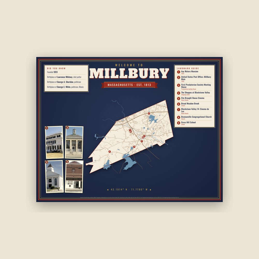
Map data © OpenStreetMap contributors (ODbL). Town history from Wikipedia (CC BY-SA 4.0). Not affiliated with the Town of Millbury.