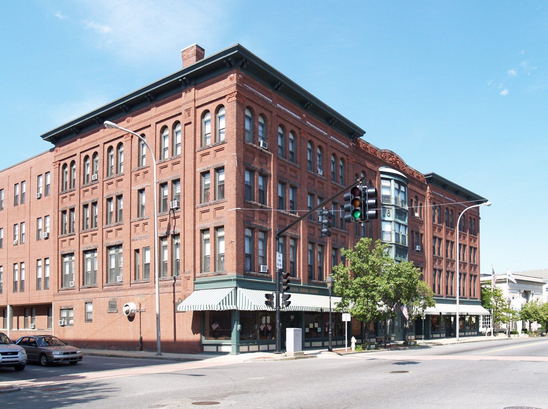
When the township was incorporated in 1762, the name was changed to Athol. Landmarks include Pequoig Hotel, Old Town Hall and WKMY. Athol is the birthplace of Lysander Spooner, political philosopher, essayist, pamphlet writer, Unitarian, abolitionist, individualist anarchist, legal theorist, a member of the socialist First International and entrepreneur of the 19th century.
Every piece is drawn from Athol's own map data and historic archives, then printed and shipped from the USA when you order. No two towns look alike.
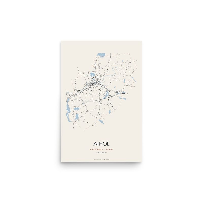
Every road in town, on archival matte paper
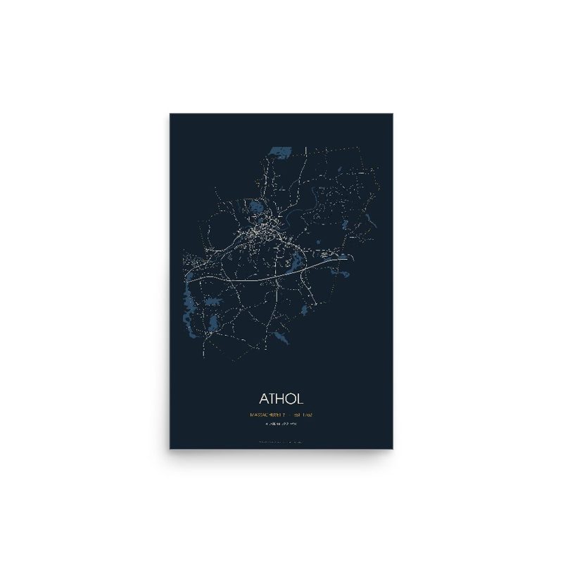
The same map, in navy and silver
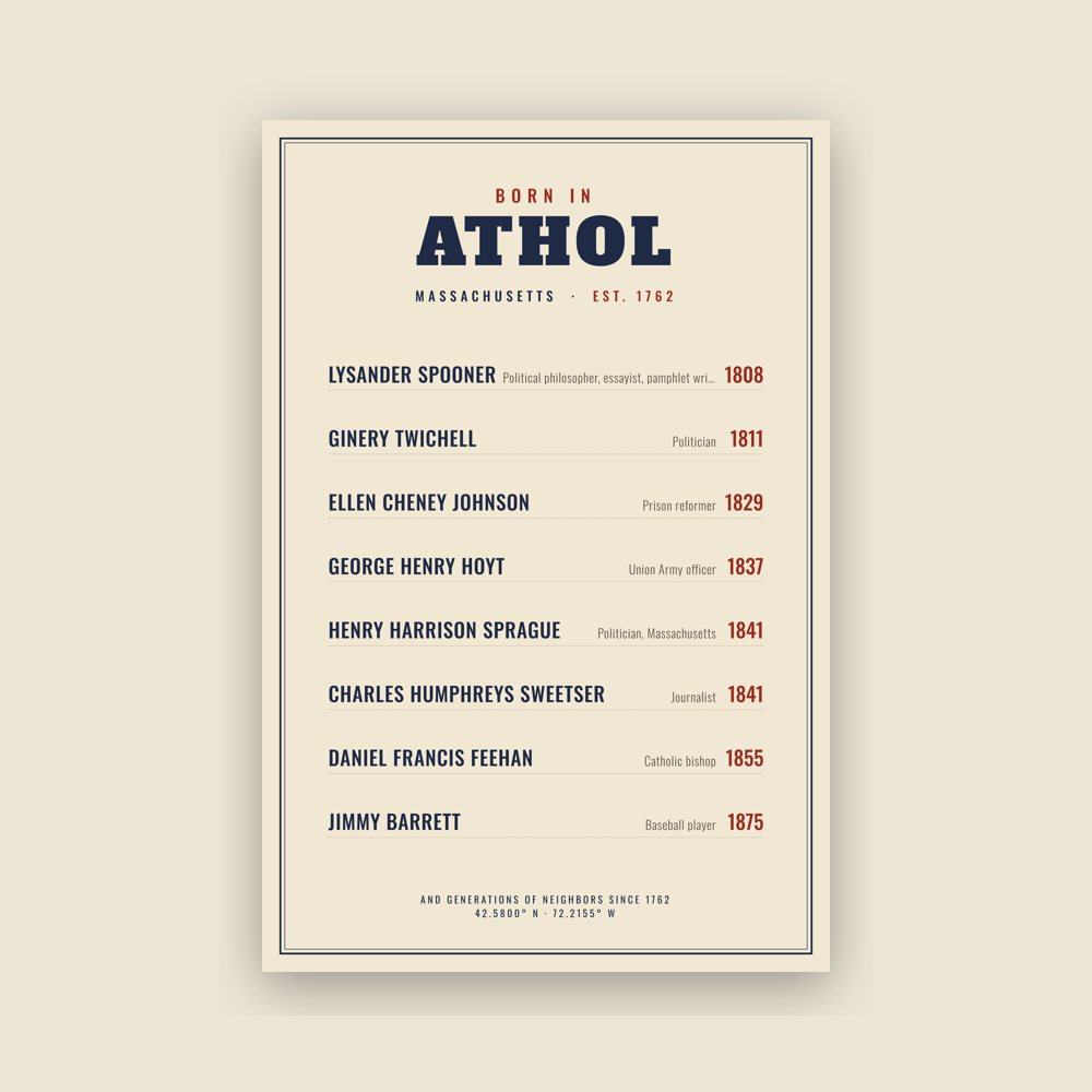
Famous natives, by birth year
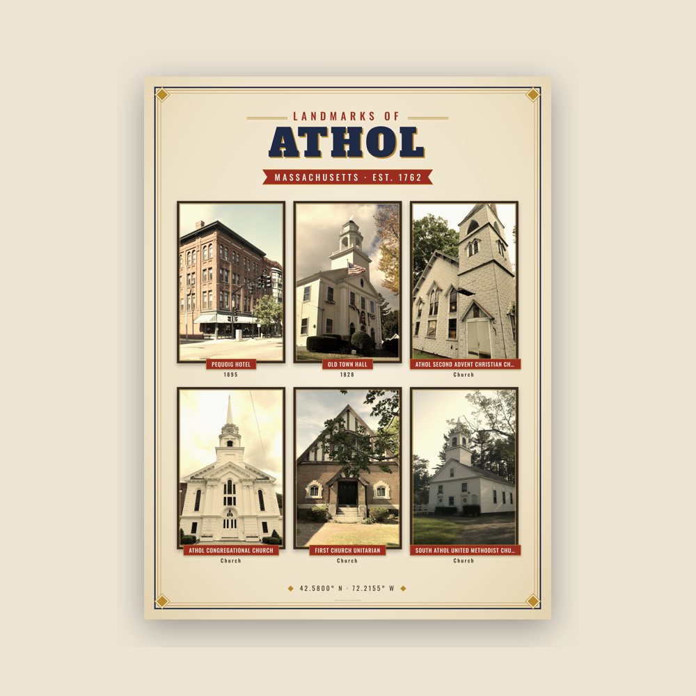
Nine local landmarks, archival matte
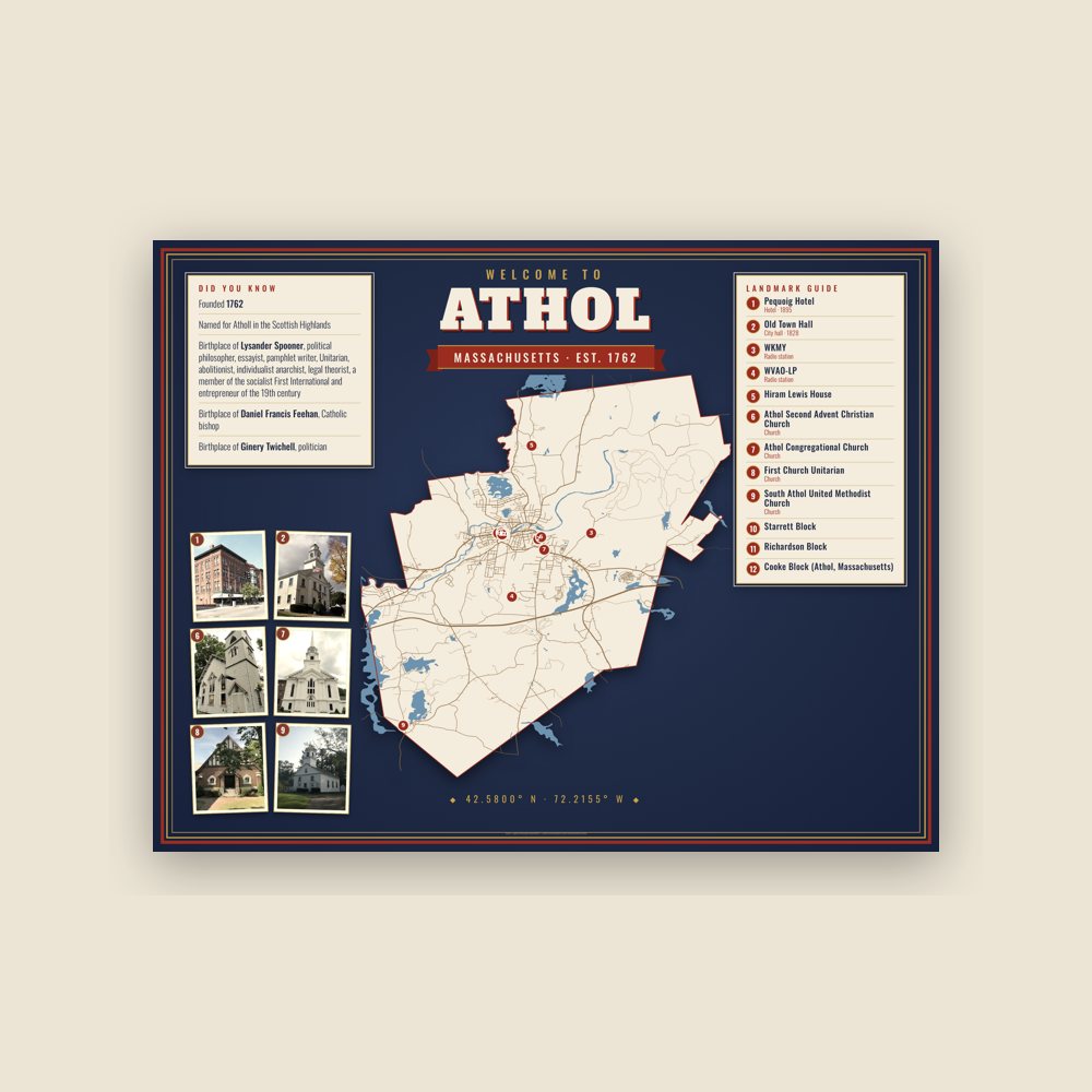
Map of local landmarks, washable fabric
Heavy-blend fleece, street map printed on the back
Soft Bella+Canvas jersey
Glossy ceramic, dishwasher safe
Ceramic keepsake, gold ribbon
Weatherproof, for the front walk
24″×16″, printed coir-look fibers, rubber back
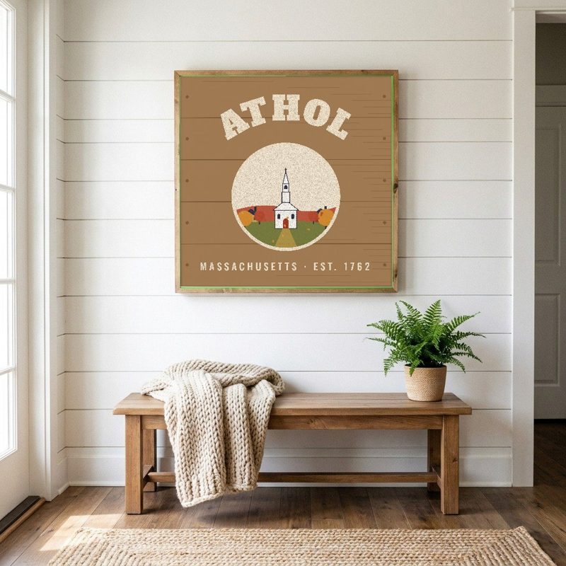
12″×12″ printed wood, ready to hang
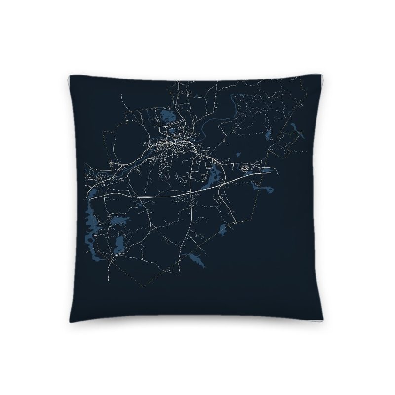
Soft-touch, zip cover
Sturdy all-over-print tote
Glossy top, cork back
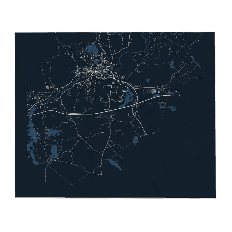
Soft fleece, 50″×60″
20 oz, double-wall stainless
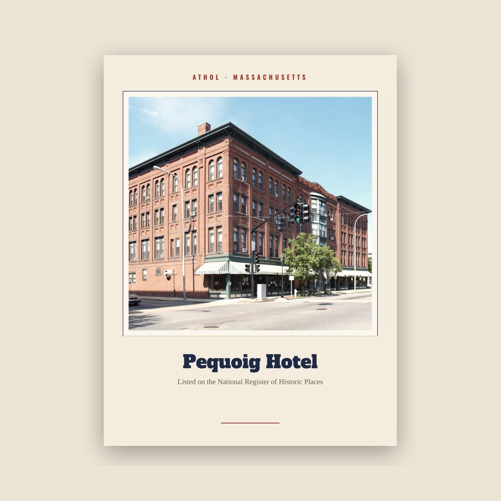
Archival matte print of a local landmark, credited to its photographer
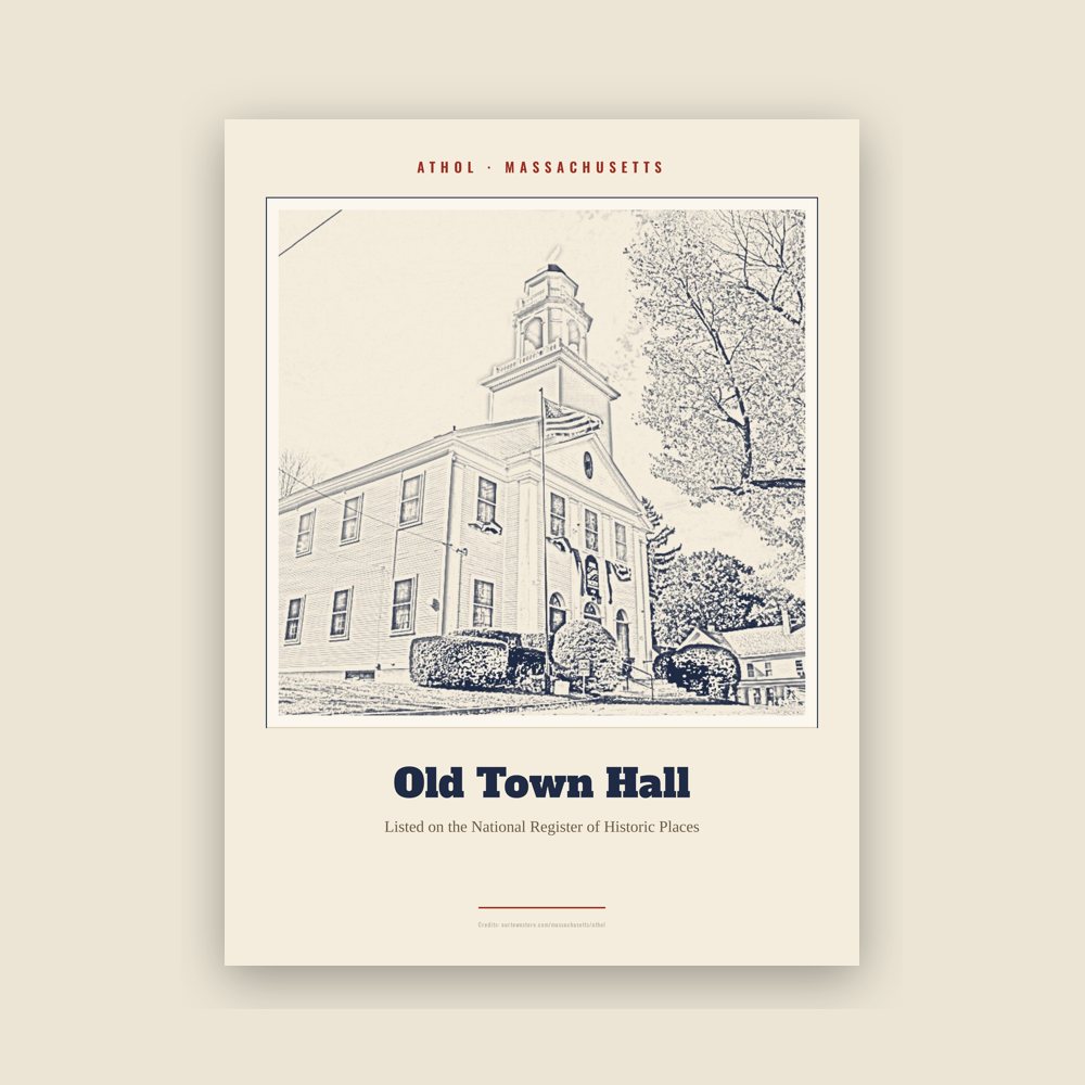
Archival matte print of a local landmark, credited to its photographer
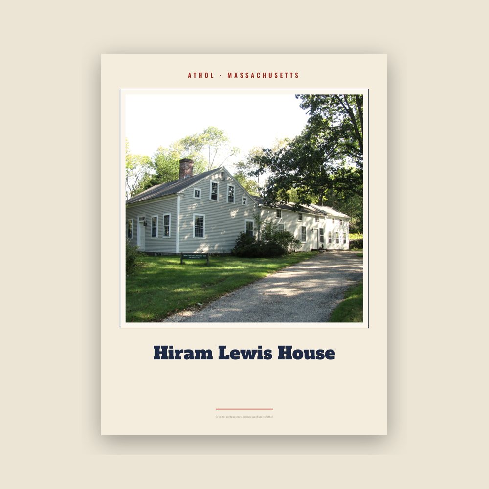
Archival matte print of a local landmark, credited to its photographer

Archival matte print of a local landmark, credited to its photographer

Archival matte print of a local landmark, credited to its photographer

Archival matte print of a local landmark, credited to its photographer
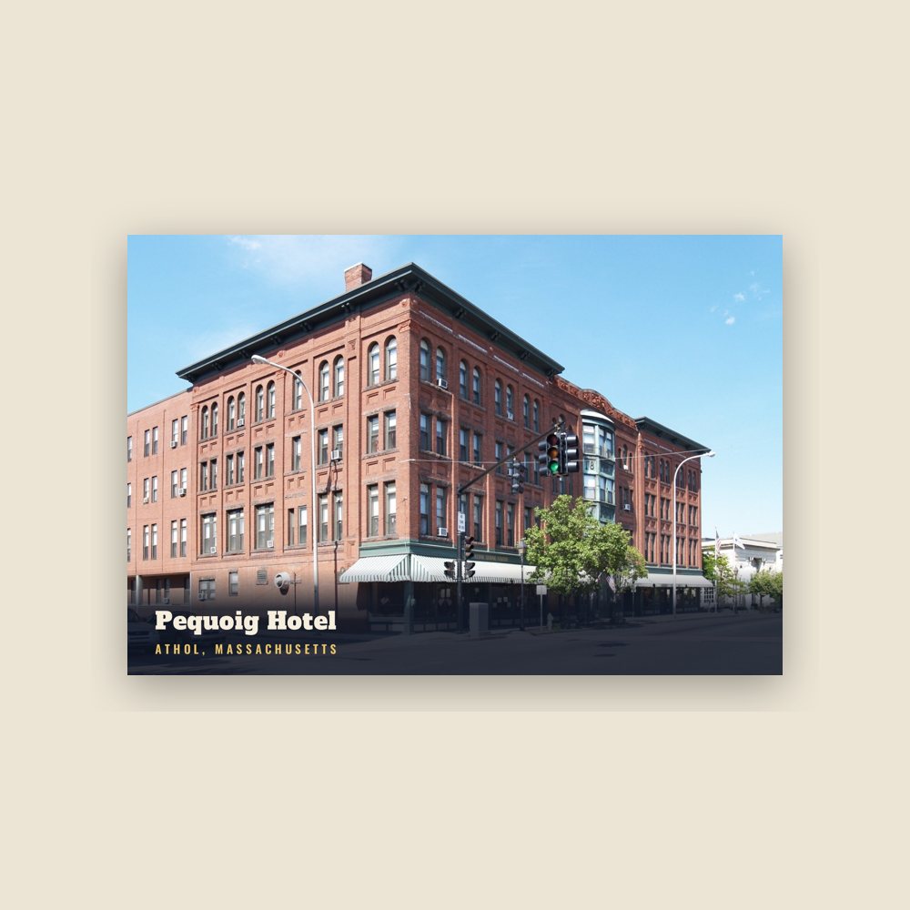
6″×4″ postcard, glossy front

6″×4″ postcard, glossy front
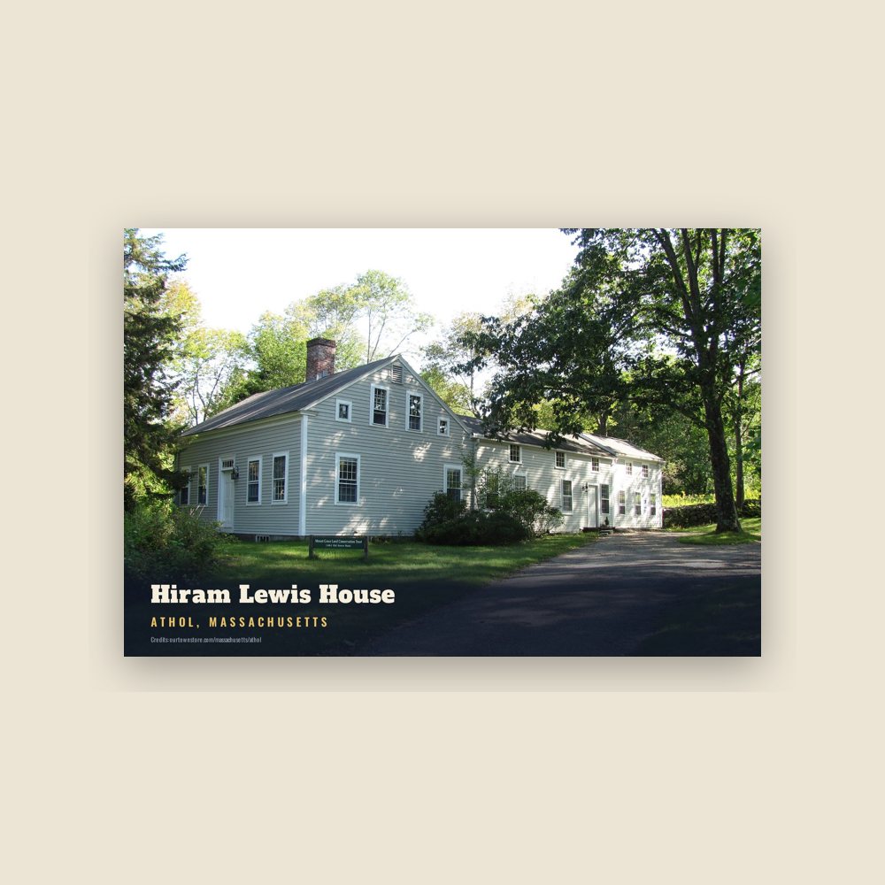
6″×4″ postcard, glossy front

6″×4″ postcard, glossy front

6″×4″ postcard, glossy front
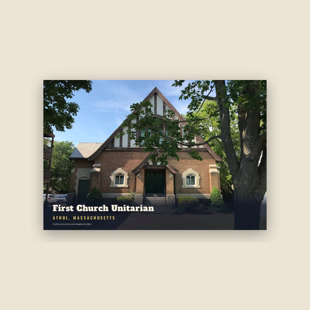
6″×4″ postcard, glossy front
Named for Atholl (historical division in the Scottish Highlands).
Population 2010: 11,584 → 2020: 11,945
From Wikidata (CC0).
Originally called Pequoiag when settled by Native Americans, the area was subsequently settled by five families in September 1735. When the township was incorporated in 1762, the name was changed to Athol. John Murray, one of the proprietors of the land, chose the name which was believed to mean "New Ireland" although some historians, including James E. Fraser, dispute this definition.
Early residents subsisted on agriculture and hunting. By 1791, Athol had four gristmills, six sawmills, a fulling mill, and a shop with a trip hammer, all of which were operated by water power. The Athol Cotton Factory, built in 1811, was one of the first industries to serve a market beyond the local one. Through the 1800s, textile, leather, wood, and metal industries further expanded the market for goods produced in Athol. The construction of the Vermont and Massachusetts Railroad in the 1840s significantly boosted the industrial growth, prompting the construction of a second line connecting Athol and Springfield in 1870. Construction of the Fitchburg Railroad, an east-west line, came through Athol in 1879, on its way to the Hoosac Tunnel and the Berkshires.
The Athol Machine Company was established in 1868 in order to manufacture a chopping machine invented by Laroy S. Starrett. In 1881, Mr. Starrett established the L. S. Starrett Company, known for precision tools production. The company remains the town's largest employer to this day, letting Athol maintain the nickname, the "Tool Town".
Further development of industry along the river valley, stimulated population growth and incentivized commerce, on the hill southeast of the factories. This area, today called Uptown, was the location of the first bank. The first trolley lines, established in 1894, ran from Athol to Orange, and additional lines soon connected surrounding areas. Consistent development of industry, commerce, and transportation, made Athol the attraction point of the entire area at the start of the 20th century.
During the 1930s, the trolley lines closed due to the increased use of private automobiles, bus service, and overall economic instability. When four Swift River Valley towns were flooded to create the Quabbin Reservoir, the Springfield railroad route was abandoned. Consequently, Athol's growth leveled off as commerce became increasingly dependent on the Interstate Highway System. Population reached a peak of 12,186 in 1955.
The Route 2 bypass of Athol was constructed in the 1950s, further limiting direct access to the downtown business district. The following years showed population decline, falling to a low of 10,634 in 1980. However, Athol's population has risen gradually since that time.
Adapted (trimmed) from the Wikipedia article Athol, Massachusetts, revision 1379383711 by its contributors, licensed CC BY-SA 4.0.
We share a part of every Athol sale with local partners, and we'd love to print from your collection. Old photographs, maps and postcards make the best keepsakes.
Partner with us