Montgomery County, Maryland
Street maps, historic prints and keepsakes for 13 Montgomery County towns.
The largest by population is Gaithersburg (69,101).
| Town | Population |
|---|---|
| Chevy Chase | – |
| Gaithersburg | 69,101 |
| Garrett Park | 996 |
| Glen Echo | 242 |
| Kensington | 2,122 |
| Laytonsville | 572 |
| Martin'S Additions | 946 |
| North Chevy Chase | 682 |
| Poolesville | 5,742 |
| Rockville | 67,117 |
| Somerset | 1,187 |
| Takoma Park | 17,629 |
| Washington Grove | 505 |
About these towns
Chevy Chase: In the 1880s, Senator Francis G. Newlands of Nevada and his partners began acquiring farmland in unincorporated areas of Maryland and just inside the District of Columbia, for the purpose of developing a residential streetcar suburb for Washington, D.C., during the expansion of the Washington streetcars system.
Gaithersburg: Gaithersburg was settled in 1765 as a small agricultural settlement known as Log Town near the present-day Summit Hall on Ralph Crabb's 1725 land grant "Deer Park".
Garrett Park: Garrett Park was an early planned community, originally promoted by businessman Henry W. Copp, who purchased the land in 1886. Copp wanted to build a suburban development reminiscent of an English village, and even went so far as to name the streets after locations in the novels of the English author Walter Scott, such as Kenilworth and Strathmore.
Glen Echo: Glen Echo derives its name from the name of the lots developed by Edward and Edwin Baltzley, father of Louis E. Baltzley, and an inventor, before the town was chartered, and who came up with the name c. 1888.
Kensington: The area around Rock Creek where Kensington is located was primarily agricultural until 1873, when the B&O Railroad completed the Metropolitan Branch across Montgomery County.
Laytonsville: Laytonsville was originally known as "Cracklintown". This name originated from the popular cracklin bread, which was baked in the locale. This recipe, essentially a bacon cornbread, also lent the entire area the name of Cracklin District.
Martin'S Additions: In February 1985, the residents voted in a referendum on whether to incorporate as a town. The vote was 198 to 15 in favor of incorporation.
North Chevy Chase: Residential development of the area began in the early 20th century when William H. Walker laid out a community and began selling lots.
Poolesville: In 1760, brothers John Poole Sr. and Joseph Poole Sr. purchased 160 acres (0.65 km2; 0.25 sq mi) in the area that is now Poolesville.
Rockville: Situated in the Piedmont region and crossed by three creeks (Rock Creek, Cabin John Creek, and Watts Branch), the area that became Rockville provided a favorable environment for seasonally mobile Native American communities as early as 8000 BC.
Somerset: The land that would become Somerset was originally a part of the 3,124-acre Friendship Tract patented by Benedict Calvert, 4th Baron Baltimore, to Col.
Takoma Park: Takoma Park was founded by Benjamin Franklin Gilbert in 1883. It was one of the first planned Victorian commuter suburbs, centered on the B&O railroad station in Takoma, D.C., and bore aspects of a spa and trolley park.
Washington Grove: The land where the residential community of Washington Grove now stands, and all of Montgomery County, was traveled and inhabited by indigenous people from around 10,000 BCE.
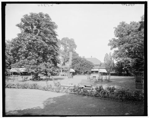 Chevy ChaseMaryland
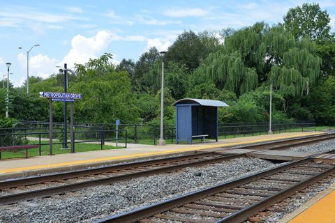 GaithersburgMaryland
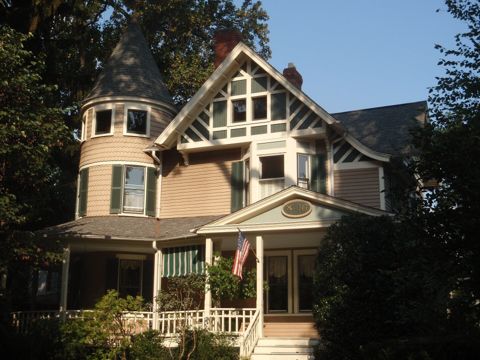 Garrett ParkMaryland
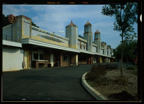 Glen EchoMaryland
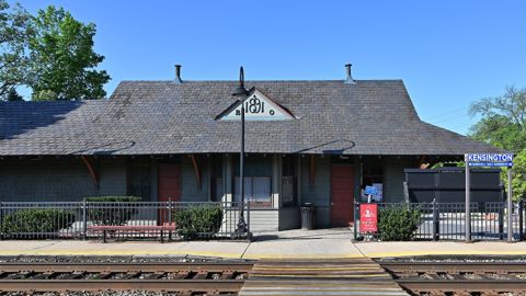 KensingtonMaryland
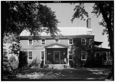 LaytonsvilleMaryland
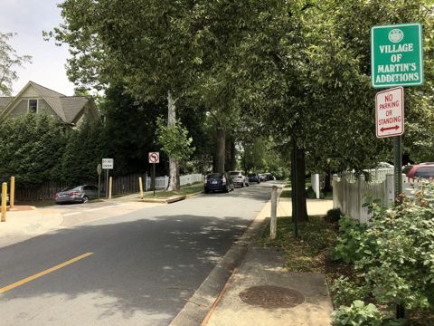 Martin'S AdditionsMaryland
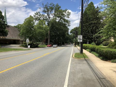 North Chevy ChaseMaryland
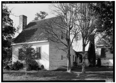 PoolesvilleMaryland
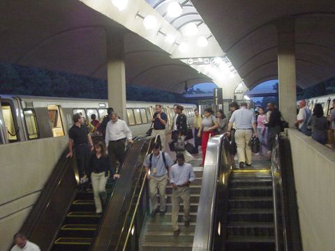 RockvilleMaryland
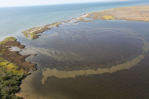 SomersetMaryland
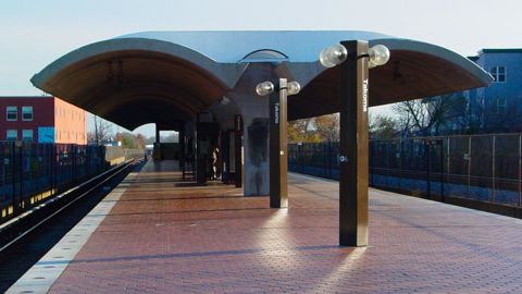 Takoma ParkMaryland
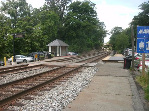 Washington GroveMaryland
Founding years, populations and town notes come from each town's Wikipedia and Wikidata entries. All Maryland towns.