Since 1809
A short history of Solon
The first known inhabitants were the Abenaki Indians, whom European settlers encountered in the early 1600s. At a rock ledge over the Kennebec River at Embden, 3 miles from the centre of Solon, there are Native American carvings dating to between 900 and 1400 CE. General Benedict Arnold and his troops camped below Caratunk Falls on October 7, 1775, before portaging their boats around the falls on the way up the Kennebec River to the Battle of Quebec. Originally called T1 R2 EKR, the plantation was known as Spauldingtown, after Thomas Spaulding, a grantee. It was settled in 1782 by William Hilton from Wiscasset, who purchased 500 acres (2.0 km2). On February 23, 1809, it was incorporated as Solon, named after Solon, a statesman and poet of ancient Greece.
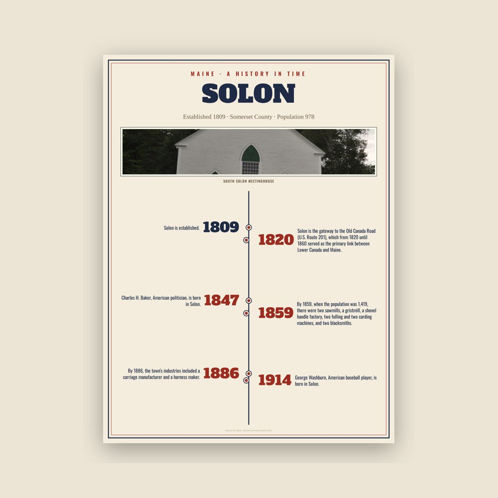
Agriculture was the principal occupation of the inhabitants. The surface of the town is uneven, the underlying rock is slate, but the sandy and occasionally gravelly loam produced good crops of hay and grain. Solon village was established at Fall Brook, its water power used to operate mills. By 1859, when the population was 1,419, there were two sawmills, a gristmill, a shovel handle factory, two fulling and two carding machines, and two blacksmiths. By 1886, the town's industries included a carriage manufacturer and a harness maker.
Solon is the gateway to the Old Canada Road (U.S. Route 201), which from 1820 until 1860 served as the primary link between Lower Canada and Maine. The byway follows the Kennebec River valley through various villages and into the forests near the Canada–US border.
Adapted (trimmed) from the Wikipedia article Solon, Maine, revision 1379131133 by its contributors, licensed CC BY-SA 4.0.

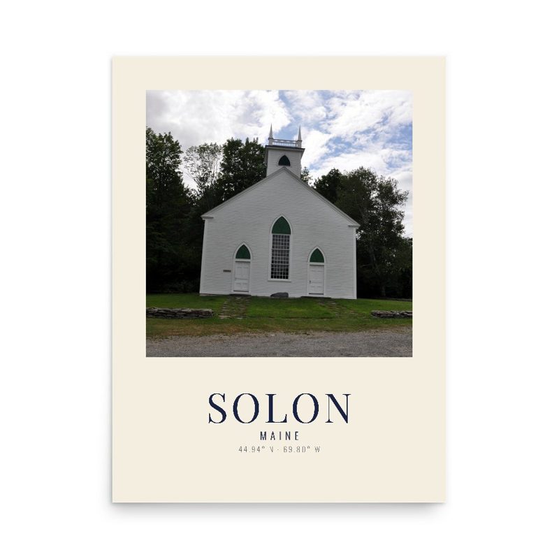
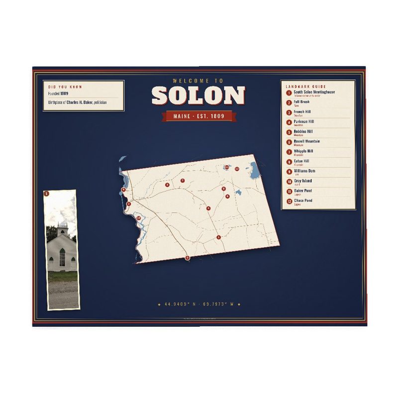






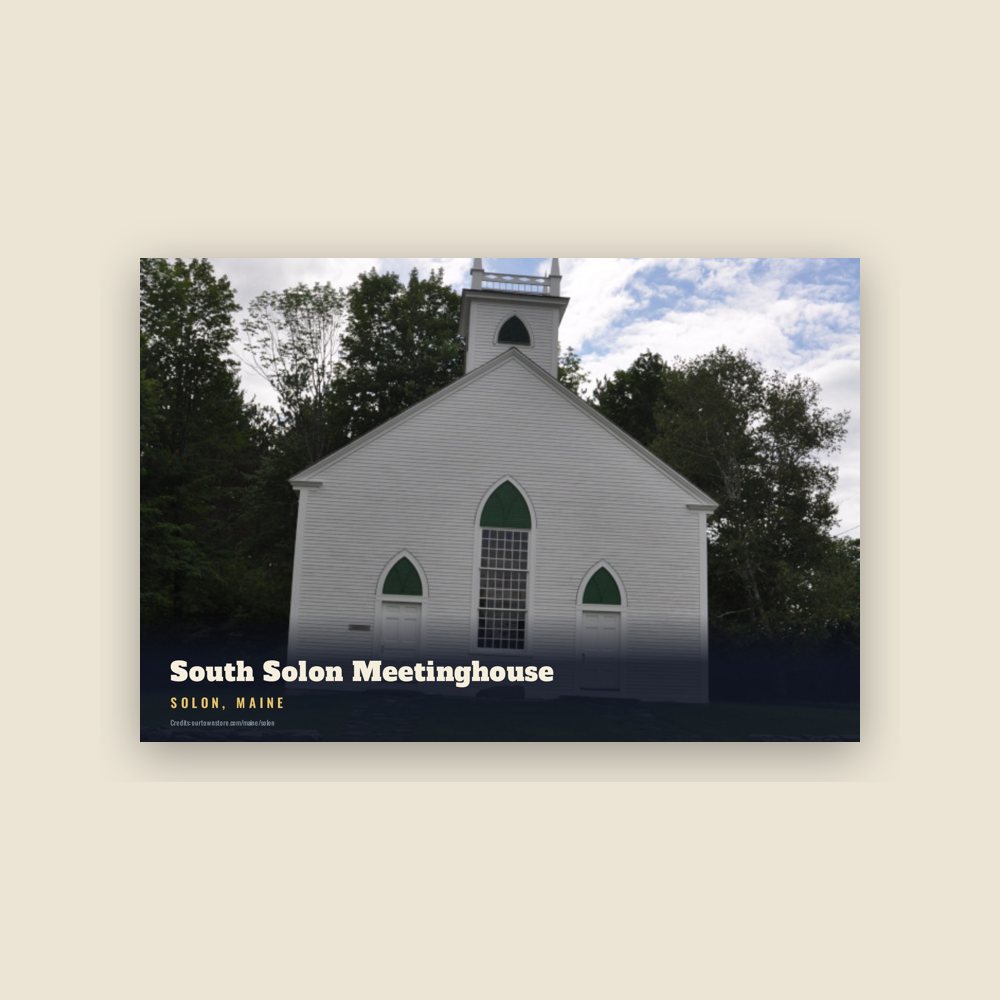
 South Solon Meetinghouse