Since 1869
A short history of Fort Kent
Fort Kent was established in the summer of 1839 as an American border outpost. The blockhouse, the first structure built in what is the present-day village of Fort Kent, was named after then-governor of Maine Edward Kent. The Saint John River was a log driving route from upstream forests to downstream sawmills and paper mills until the Bangor and Aroostook Railroad and trucks began transporting pulpwood.
Read the full history
2008 flooding
After receiving nearly 200 inches (510 cm) of snow during the 2007–2008 winter season, the Saint John River began to flood on April 29. Nearly two days of nonstop rain also contributed to the flooding. As the river rose, it poured into the downtown area. More than 600 of Fort Kent's 4,233 residents were evacuated. The river's water level rose to nearly 31 feet (9.4 m), which was 6 feet (1.8 m) above flood stage.
Governor John Baldacci declared a state of emergency for the region, flying from Augusta to see the damage first-hand. The Fish River did most of the damage, flooding St. Louis Catholic Church and an apartment building.
Relationship with French Canada
The town is economically and culturally linked to the Canadian towns of Clair and Saint-François-de-Madawaska, both in Madawaska County, New Brunswick, directly across the Saint John River. Most children on the Canadian side attend French-speaking school while their American counterparts are taught mainly in English.
According to the most recent American Community Survey data, up to 33.7% of the population age 5 and older speak French at home. The variety of French spoken in Fort Kent, and most of the Saint John River Valley, closely resembles the French spoken in Quebec and New Brunswick. It is referred to as New England French, "Valley French", or "Brayon". Many residents have American-Canadian dual citizenship.
Adapted (trimmed) from the Wikipedia article Fort Kent, Maine, revision 1378439272 by its contributors, licensed CC BY-SA 4.0.








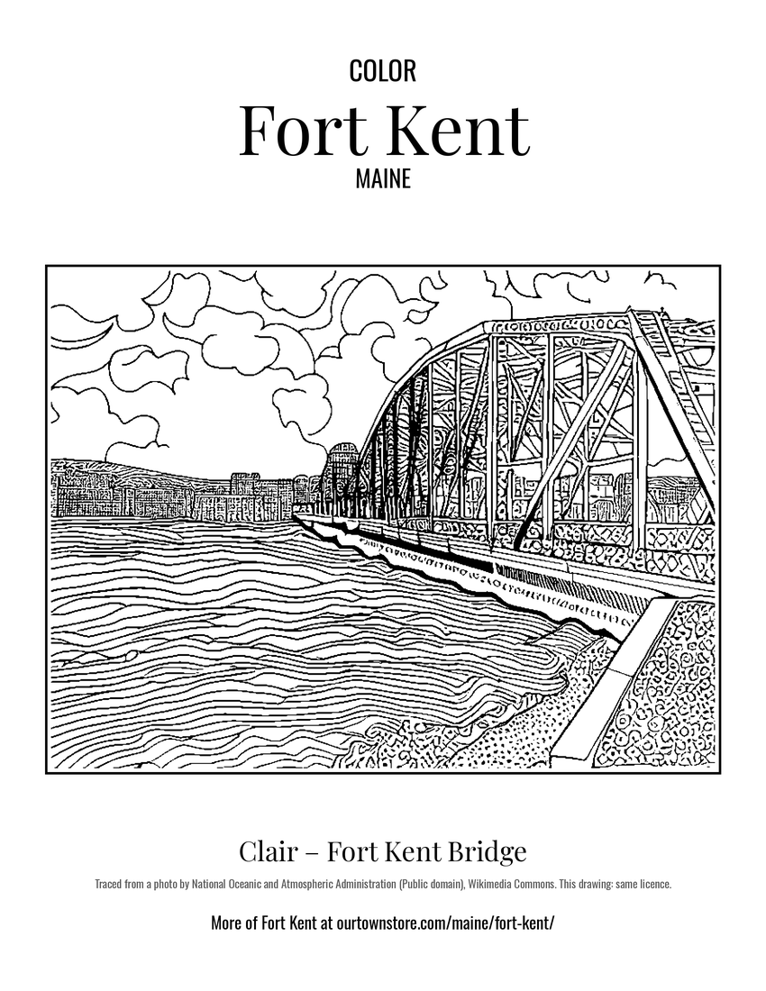 Clair – Fort Kent Bridge
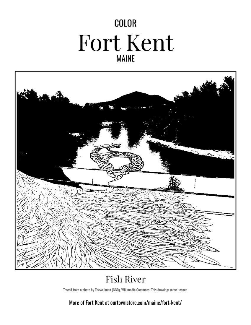 Fish River
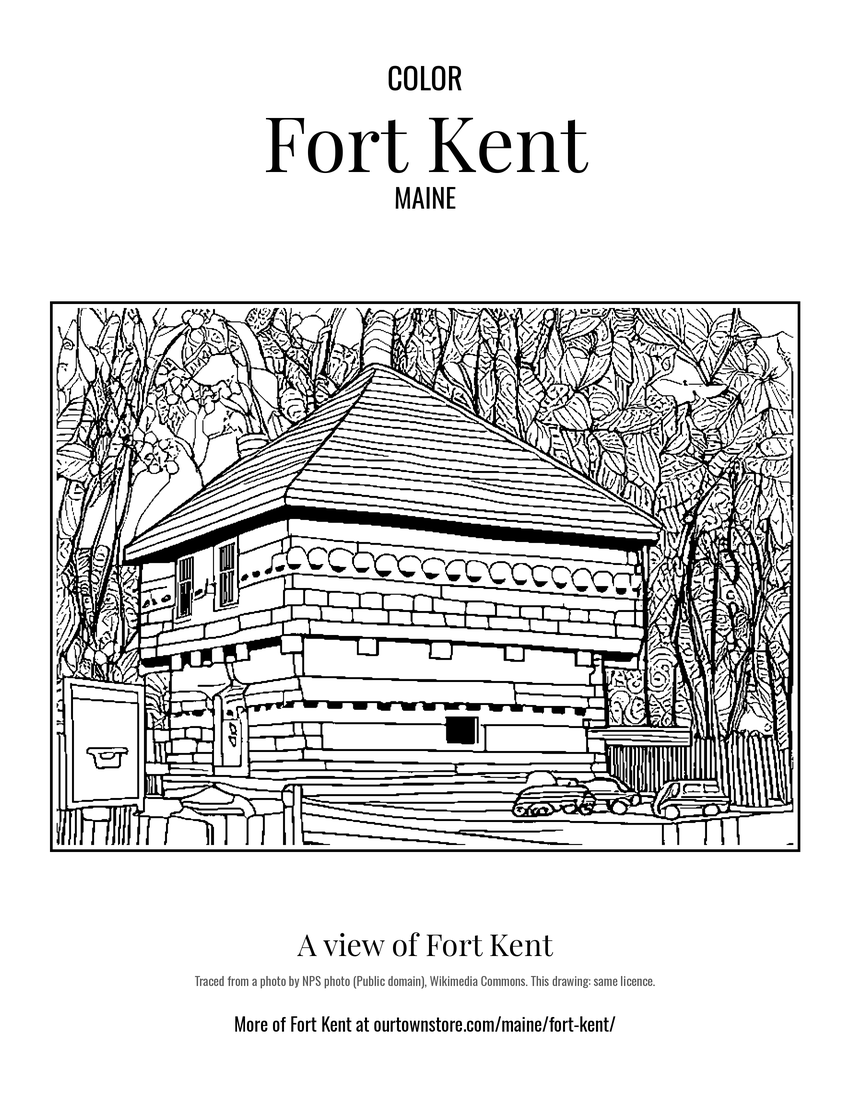 A view of Fort Kent
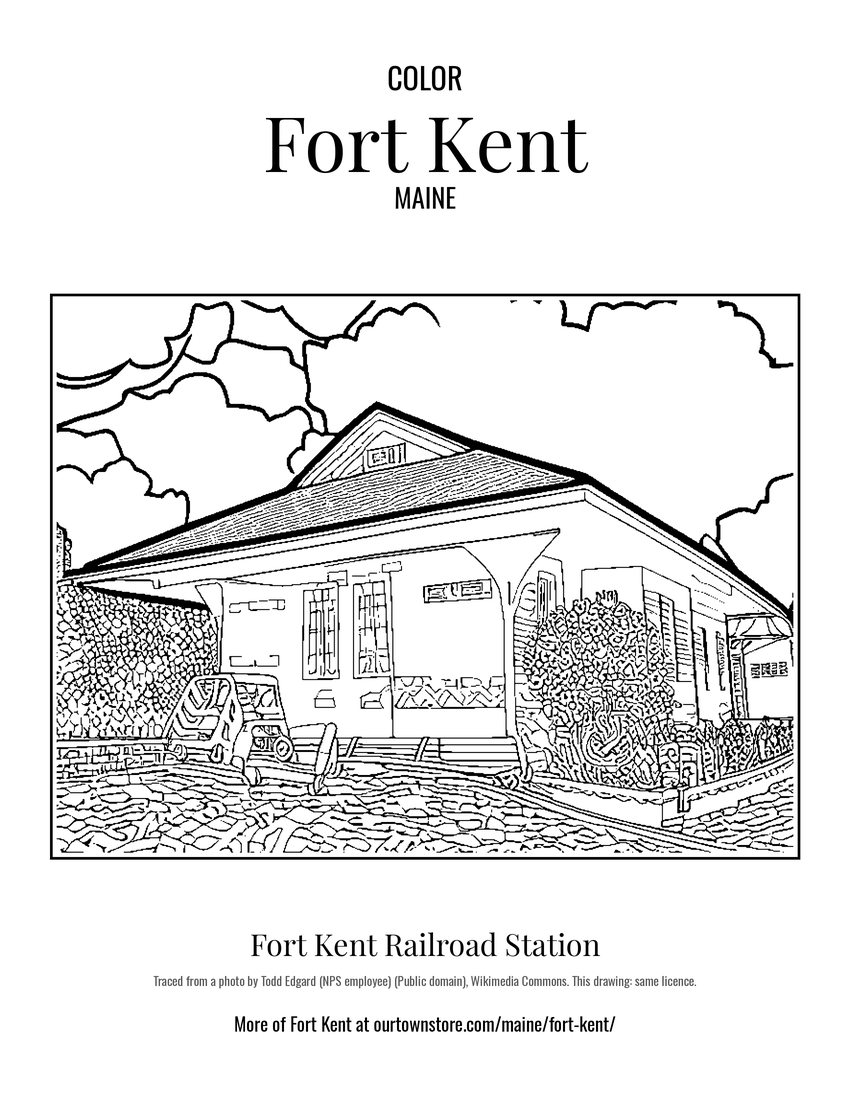 Fort Kent Railroad Station