Shortly prior to European colonization of the area in the early 1700s, the site that would become Salina was located within the western territory of the Kansa people. Claimed first by France as part of Louisiana and later acquired by the United States with the Louisiana Purchase in 1803, it was within the area organized by the U.S. as Kansas Territory in 1854. The French traders who mapped the forks of les Grande Riviere des Cansez, located the western village of les Cansez at the general confluence of the Smoky Hill, Saline, and Solomon Rivers with villages of the Paducas tribe just to the west on heads of those streams.
By the time of exploration of the prairie by the United States following the Louisiana Purchase in the early 1800s, the Republican Pawnee had established its influence in the Smoky Hills, driving the Kansa to its northeastern Kansas settlements.
The United States established forts throughout the territory to provide security for established commercial trade trails, including the Smoky Hill Trail and the Santa Fe Trail. The Smoky Hill Trail passed through the Salina site where the Fort Riley/Fort Larned Road split off to cross the Smoky Hill River to the southwest.
Read the full history
Battle of Indian Rock: 1857
By the time of the first tentative settlements by United States citizens, the site was claimed as hunting grounds by the High Plains tribes of Cheyenne, Arapaho, and Sioux, which had expanded into the area, driving out the Pawnee. However, the Kansa continued to hunt in the area, in which they were joined by the Delaware and Potawatomi tribes which had been relocated by the U.S. Government near the Kansa's reserve and assured of hunting access to the plains. The High Plains tribes were hostilely opposed to both the U.S. settlers in central Kansas and to the relocated tribes in Eastern Kansas and Nebraska, who they also regarded as settlers, and there were several raids in the Salina area in the 1850s. These Indian skirmishes repeatedly discouraged settlement of the Salina site until 1857, according to William A. Phillips who resided in Lawrence while scouting settlement locations.
In that year, Big Chief of the Cheyenne led a party of the High Plains tribes. At Spring Creek, 20 miles west of what became Salina, they made a surprise attack on a hunting party of the "friendly" Eastern tribes. The hunting party retreated to Dry Creek, trapped and sending for help from another Kaw hunting party from Council Grove. Big Chief forced them to flee further to a butte in a bend of the Smoky Hill River, where they were joined by the Kaw reinforcements with rifles. Firing rifles from the cover of large sandstone boulders atop the butte, the defenders killed Big Chief on the first of five offensive charge attempts. His attacking bow and arrow force was devastated, leaving bodies strewn, and effectively ending the local raids.
The aftermath was recalled by settler Christina Campbell: "one of the fiercest and most cruel Indian battles known to white settlers; around were strewn thousands of arrows and implements of Indian warfare. Indian Rock, besmeared with blood, showed the part it played in repelling the repeated savages' attacks. It was here that the Cheyenne made their last attack."
Founding: 1858–1870
The defeat of the High Plains tribes had enabled the safe return of attempted settlers. In April 1858, journalist and lawyer William A. Phillips from Lawrence led the founding of Salina, accompanied by settlers David Phillips, Alexander M. Campbell Sr. (husband of Christina), A.C. Spillman, and James Muir. They were all Scottish Presbyterians, and all but Muir were related. From a west riverbank dugout at what is now Riverside Park, they camped and designed the first building. It was a two-story dwelling and Campbell's store, at what is now the southwest corner of 5th St and Iron Ave near Founders Park. Constant tribal attacks required a wagon circle around the first water well one block west. The Campbells had the first surviving settler birth in the area, also named Christina.
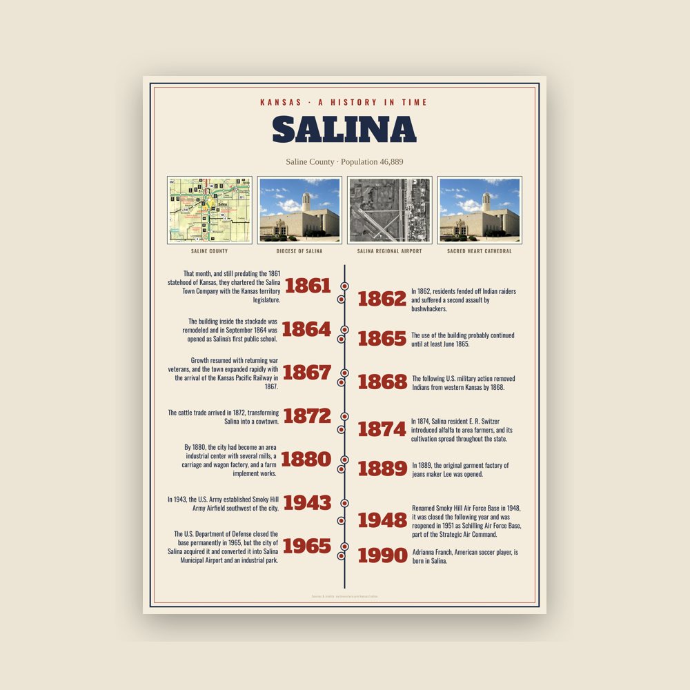
That month, and still predating the 1861 statehood of Kansas, they chartered the Salina Town Company with the Kansas territory legislature. During the following year, they organized the surrounding area as Saline County, and named Salina the county seat. The westernmost town on the Smoky Hill Trail, Salina established itself as a trading post for westbound immigrants, gold prospectors bound for Pikes Peak, and area American Indian tribes. The town's growth halted with the outbreak of the American Civil War when much of the male population left to join the Union Army.
In 1862, residents fended off Indian raiders and suffered a second assault by bushwhackers. In May and June 1864, the Salina Stockade was built to protect the town against further Indian raids.Union troops were garrisoned in Salina until March 1865, and some may have returned in June 1865. The building inside the stockade was remodeled and in September 1864 was opened as Salina's first public school. The school term ran until March 1865. The use of the building probably continued until at least June 1865.
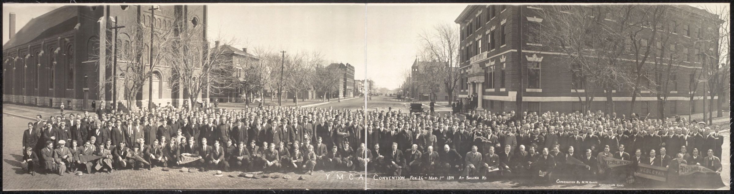
Growth resumed with returning war veterans, and the town expanded rapidly with the arrival of the Kansas Pacific Railway in 1867. The construction of the railroad through Salina to Denver was a violation of treaty promises of Indian hunting grounds west of Salina, and Dog Soldiers began raiding the construction parties between Salina and Fort Wallace. The following U.S. military action removed Indians from western Kansas by 1868.
Growth: 1872–1950s
The cattle trade arrived in 1872, transforming Salina into a cowtown. It brought further prosperity, but also a rowdy culture that agitated local residents. The cattle trade relocated westward just two years later. During the 1870s, wheat became the dominant crop in the area, steam-powered flour mills were built, and agriculture became the engine of the local economy. In 1874, Salina resident E. R. Switzer introduced alfalfa to area farmers, and its cultivation spread throughout the state. By 1880, the city had become an area industrial center with several mills, a carriage and wagon factory, and a farm implement works. In 1889, the original garment factory of jeans maker Lee was opened. In the following decade, three railroads were built through the city. The success of the wholesale and milling industries drove Salina's growth into the early 1900s, such that it was at one point the third-largest producer in the state and the sixth-largest in the United States.
In 1943, the U.S. Army established Smoky Hill Army Airfield southwest of the city. The installation served as a base for strategic bomber units throughout World War II. Renamed Smoky Hill Air Force Base in 1948, it was closed the following year and was reopened in 1951 as Schilling Air Force Base, part of the Strategic Air Command. The re-opening triggered an economic boom in Salina, causing the city's population to increase by nearly two-thirds during the 1950s. The U.S. Department of Defense closed the base permanently in 1965, but the city of Salina acquired it and converted it into Salina Municipal Airport and an industrial park. This led to substantial industrial development, attracted firms such as Beechcraft, and made manufacturing a primary driver of the local economy.

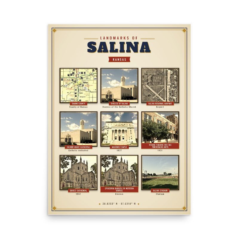


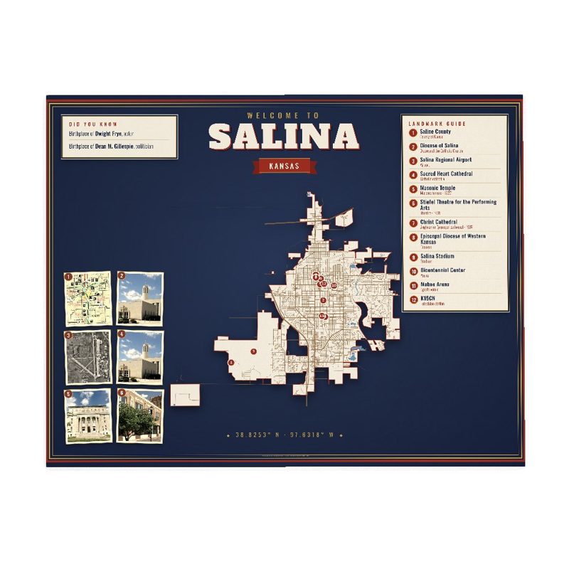















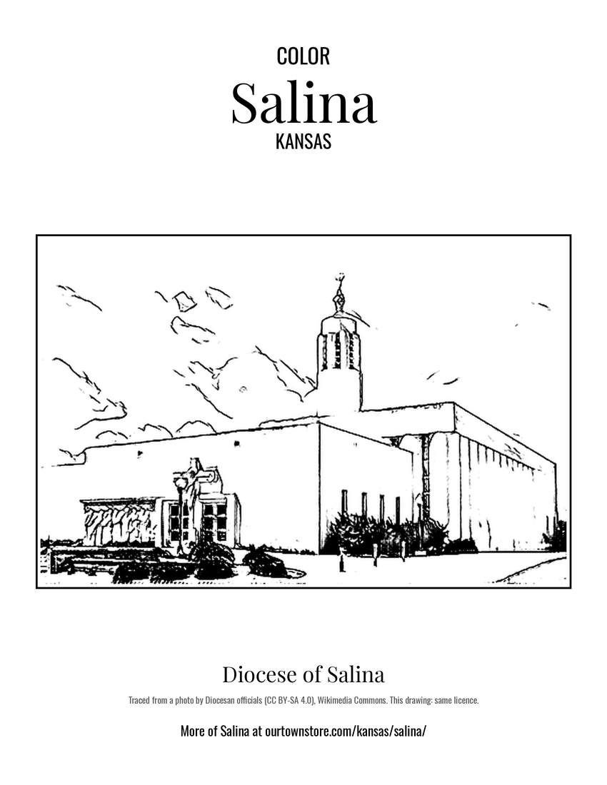 Diocese of Salina
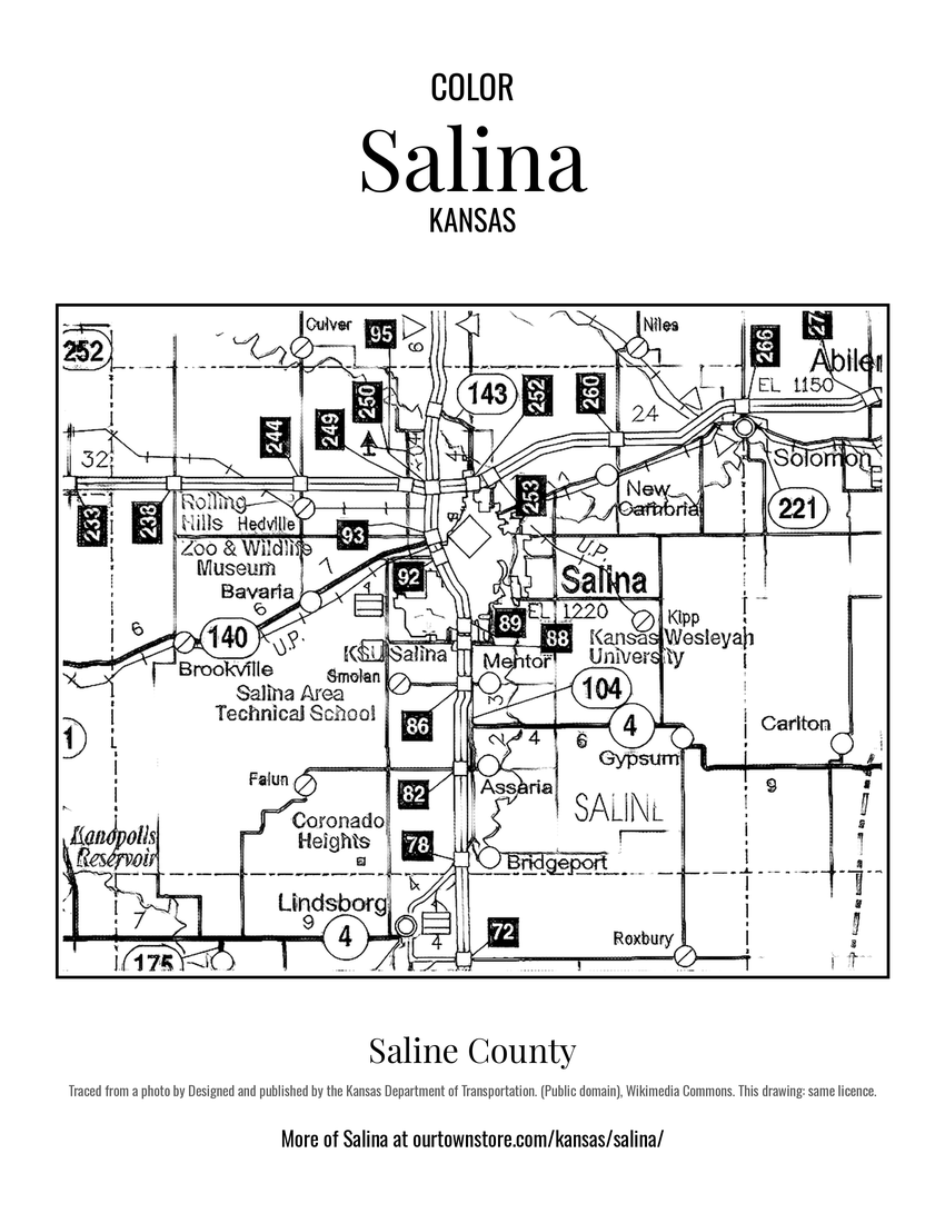 Saline County
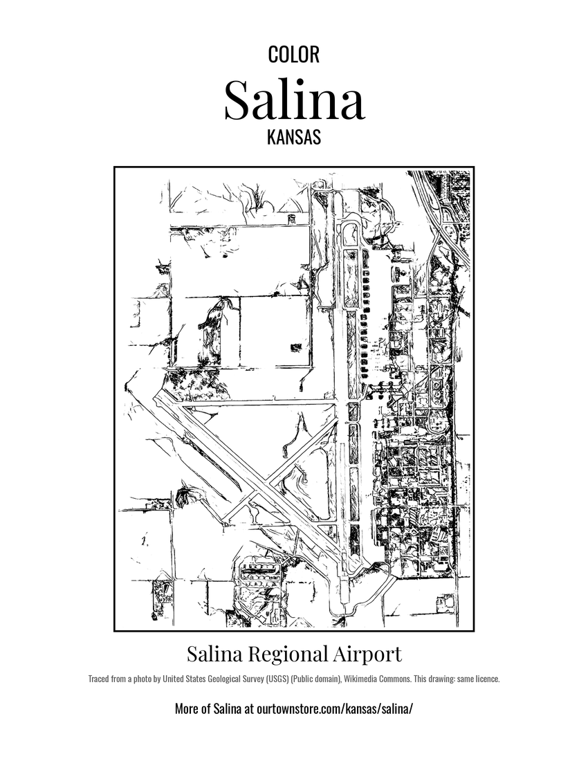 Salina Regional Airport
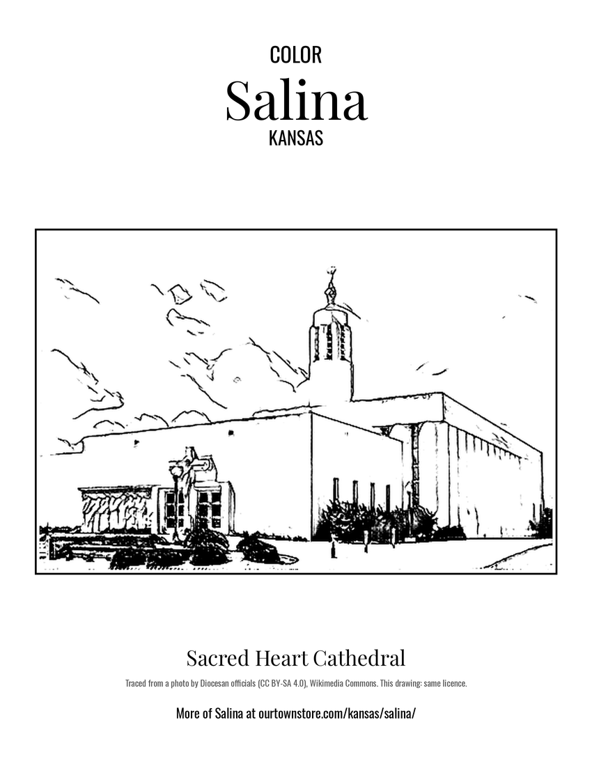 Sacred Heart Cathedral