Randolph was originally located a mile east of its present location.
- CountyRiley County
- Population159 (2020 U.S. Census)
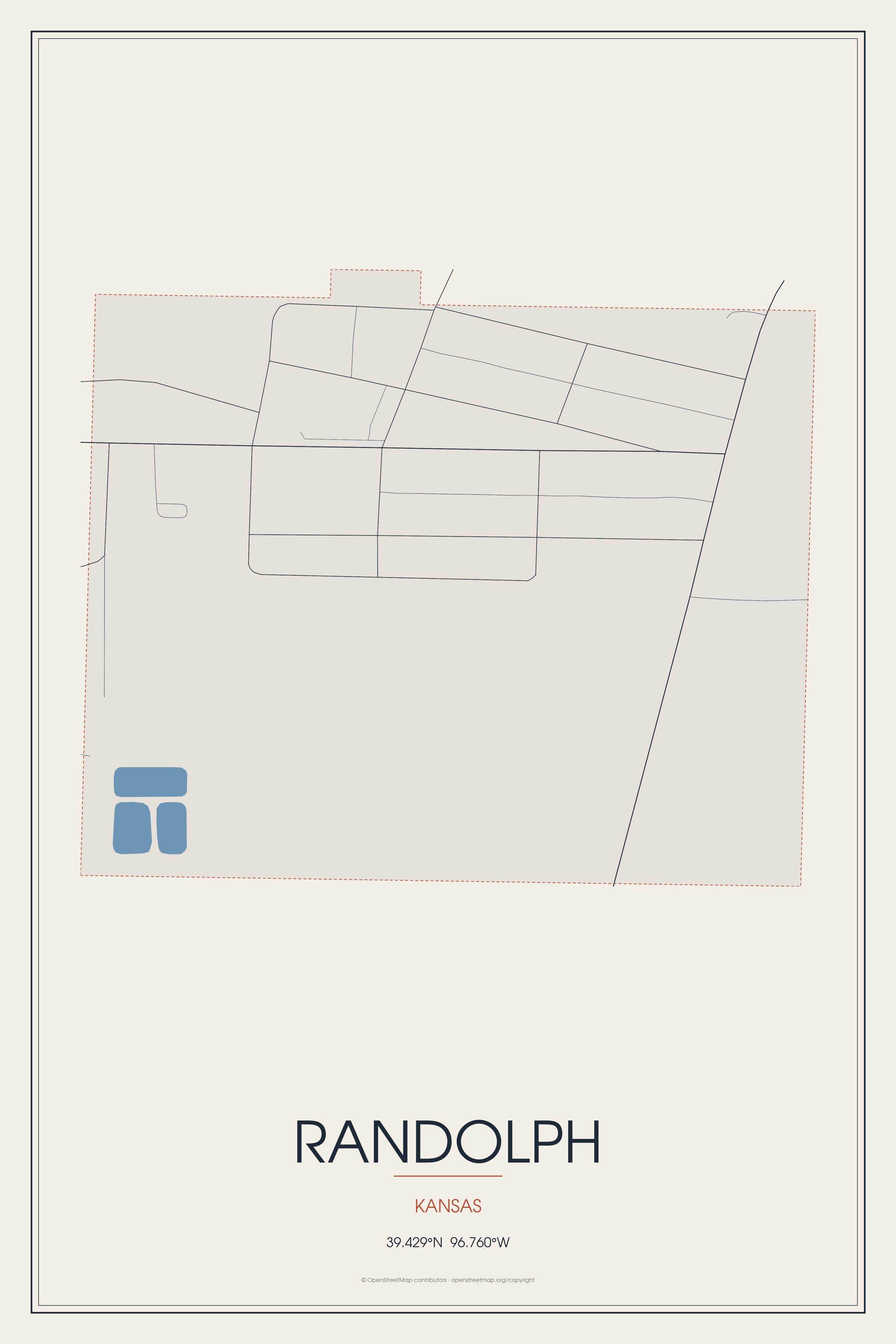
Randolph was originally located a mile east of its present location.
Randolph, Kansas gifts and souvenirs: 17 designs made from Randolph's own map, landmarks and history, from $16 to $95. Printed to order and shipped free in the USA.
| Popular | Price |
|---|---|
| Randolph Hometown Ornament | $23 |
| Randolph Varsity Crewneck | from $57 |
| Randolph Est. Tee | from $33 |
| Randolph Town Line Mug | from $26 |
| Randolph Market Tote | $37 |
Ceramic keepsake, gold ribbon, in 3 styles
Heavy-blend fleece, street map printed on the back
Red heavy-blend crewneck, knit-stitch town print
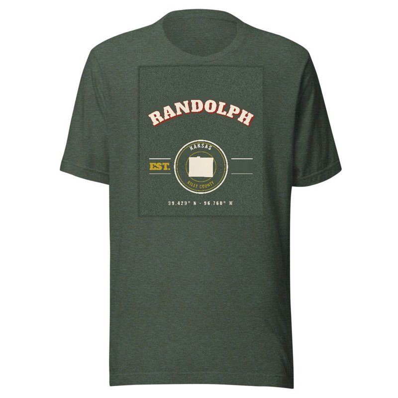
Soft Bella+Canvas jersey
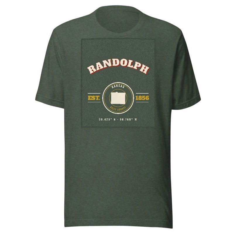
Kids' Bella+Canvas jersey, youth sizes
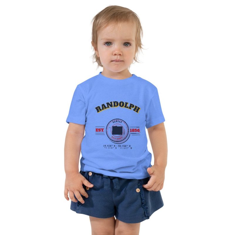
Bella+Canvas toddler jersey

Bella+Canvas baby bodysuit
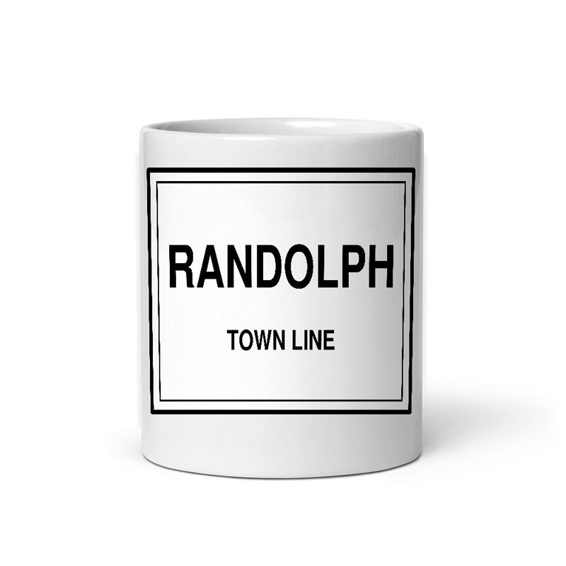
Glossy ceramic, dishwasher safe
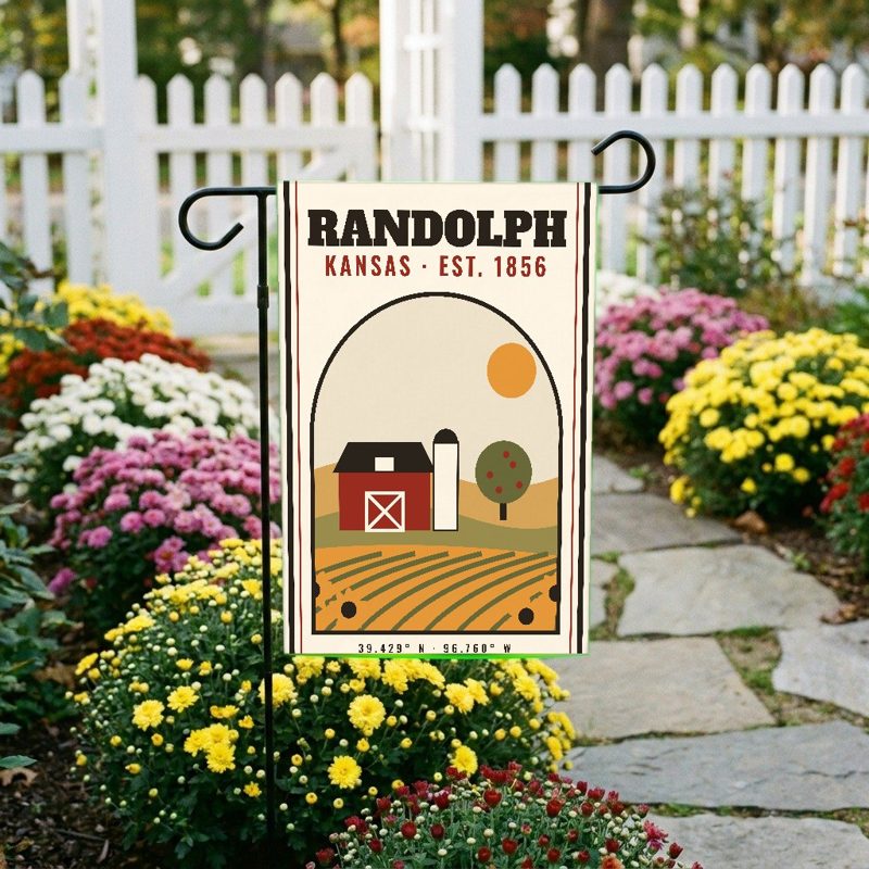
Weatherproof, for the front walk
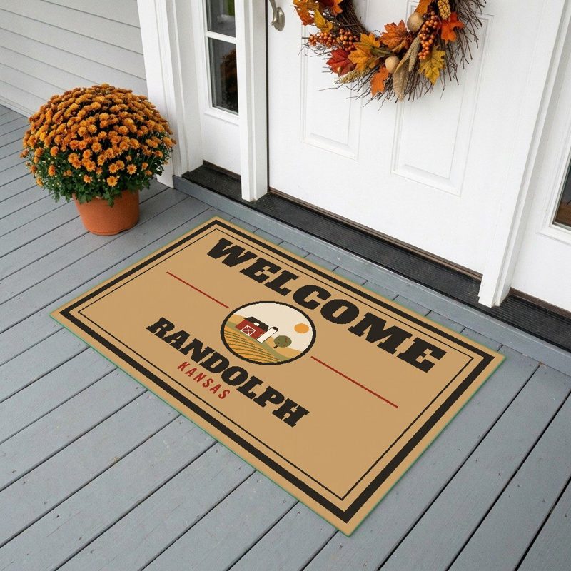
24″×16″, printed coir-look fibers, rubber back

12″×12″ printed wood, ready to hang
Soft-touch, zip cover
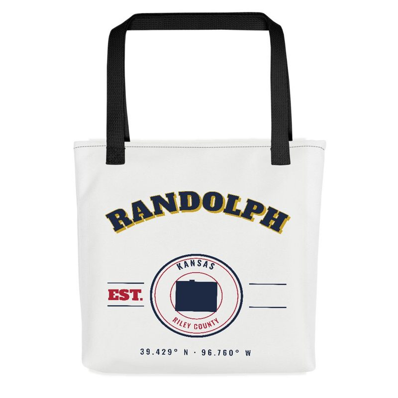
Sturdy all-over-print tote
Glossy top, cork back
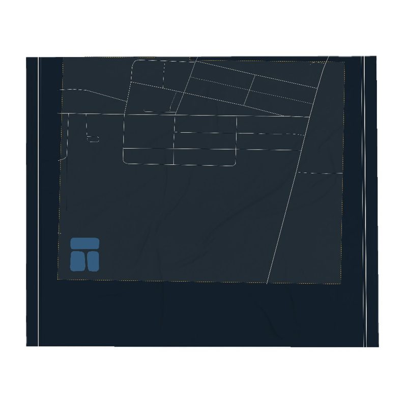
Soft fleece, 50″×60″

20 oz, double-wall stainless
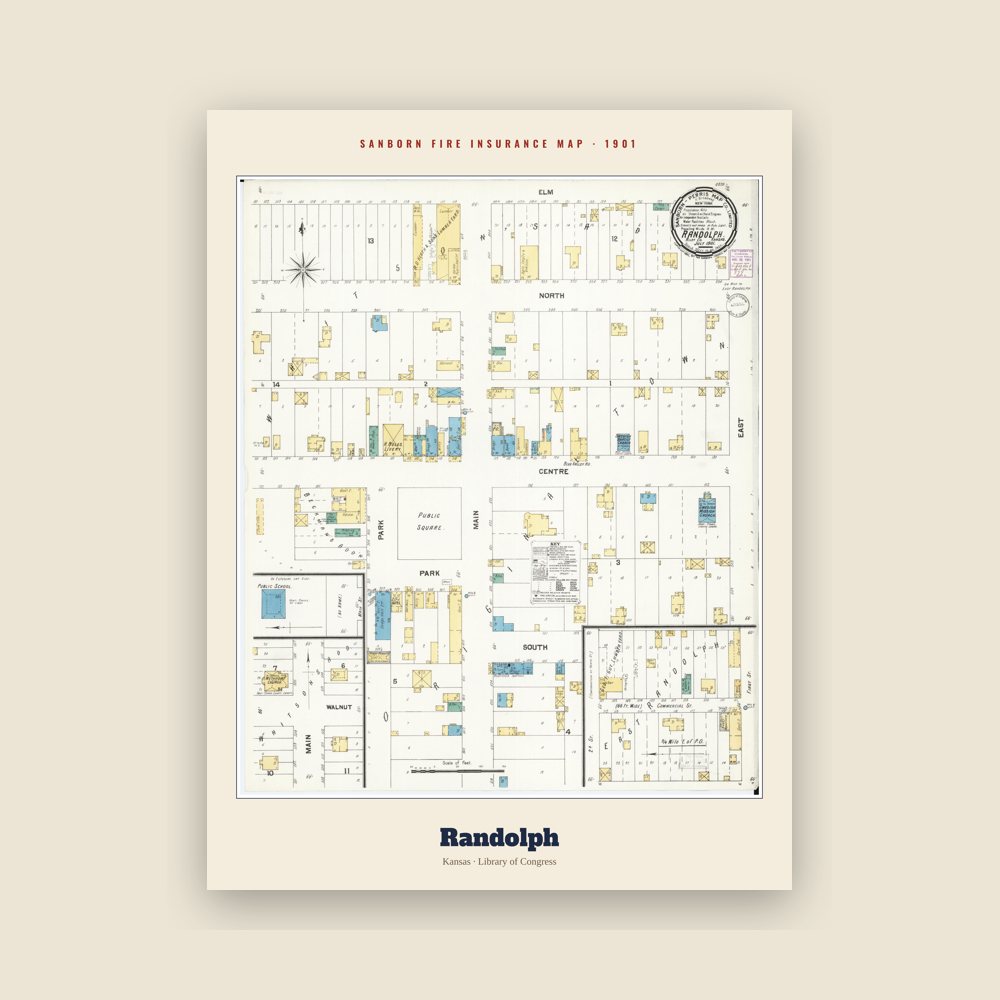
The town's earliest Sanborn fire-insurance map, drawn building by building and hand-coloured, from the Library of Congress
Randolph was originally called Waterville, and under the latter name was laid out in 1856. It was renamed Randolph in honor Gardner Randolph, a pioneer settler.
Randolph was originally located a mile east of its present location. When the Tuttle Creek reservoir began filling up in 1962, it affected ten towns and entirely submerged four of them (from north to south): Cleburne at 39°31′49″N 96°38′6″W, Randolph, Garrison Cross and Stockdale. The only town to rebuild elsewhere was Randolph, where the streets are named after the submerged towns.
The ruins of the original town are visible from Kansas Highway 16, to the north, as it crosses the lake. The downtown of the original settlement is above the waterline on an island in the marshes at the northern tip of the lake. The island is occasionally accessible by foot when Fancy Creek is low, but the channels of Fancy Creek and the Big Blue River shift frequently making access to the ruins unpredictable. This is locally known as "Old Randolph."
Adapted (trimmed) from the Wikipedia article Randolph, Kansas, revision 1376589812 by its contributors, licensed CC BY-SA 4.0.
We share a part of every Randolph sale with local partners, and we'd love to print from your collection. Old photographs, maps and postcards make the best keepsakes.
Partner with usA favorite landmark, your street, a school or team, an anniversary gift, a different product. Tell us and we'll get back to you by email.
Randolph's population was 159 in the 2020 U.S. Census, down from 163 in 2010.