Located adjacent to Perry Lake, Ozawkie formerly existed in a different location but was relocated without the aid of government funding prior to the reservoir's construction.
- CountyJefferson County
- Population1,628 (2020 U.S. Census)
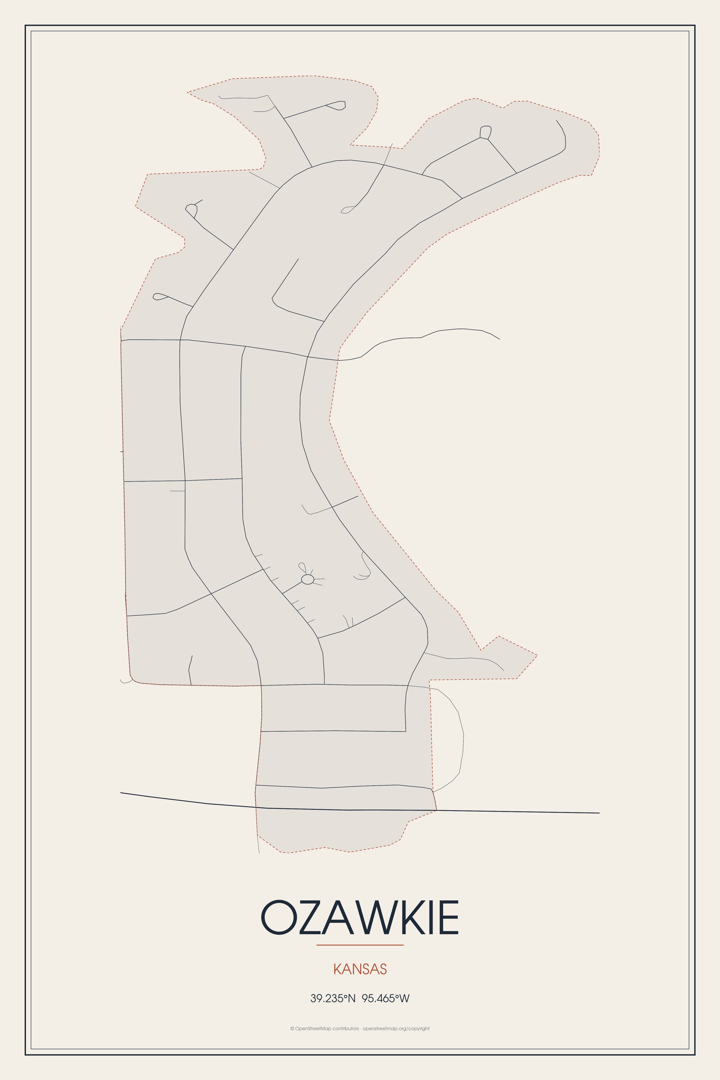
Located adjacent to Perry Lake, Ozawkie formerly existed in a different location but was relocated without the aid of government funding prior to the reservoir's construction.
Ozawkie, Kansas gifts and souvenirs: 16 designs made from Ozawkie's own map, landmarks and history, from $16 to $95. Printed to order and shipped free in the USA.
| Popular | Price |
|---|---|
| Ozawkie Hometown Ornament | $23 |
| Ozawkie Varsity Crewneck | from $57 |
| Ozawkie Est. Tee | from $33 |
| Ozawkie Town Line Mug | from $26 |
| Ozawkie Market Tote | $37 |
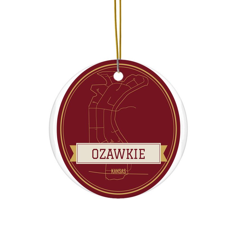
Ceramic keepsake, gold ribbon, in 3 styles
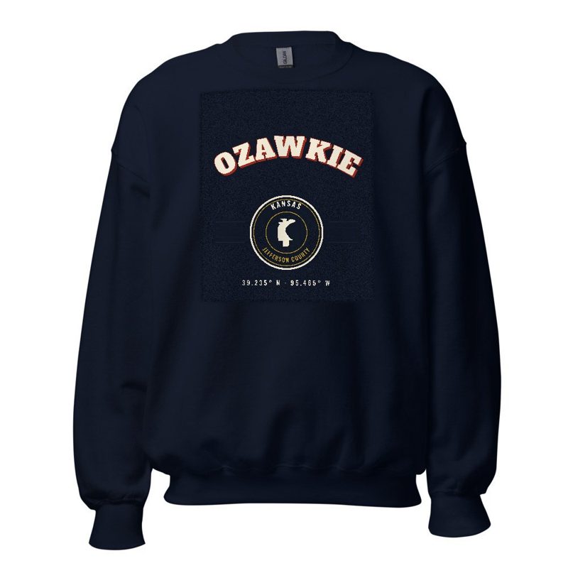
Heavy-blend fleece, street map printed on the back
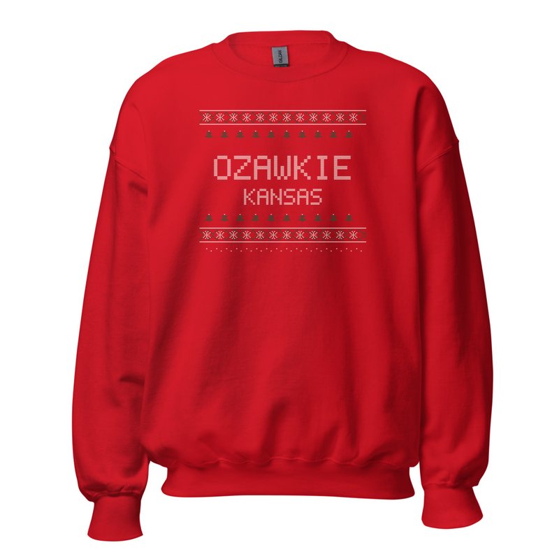
Red heavy-blend crewneck, knit-stitch town print
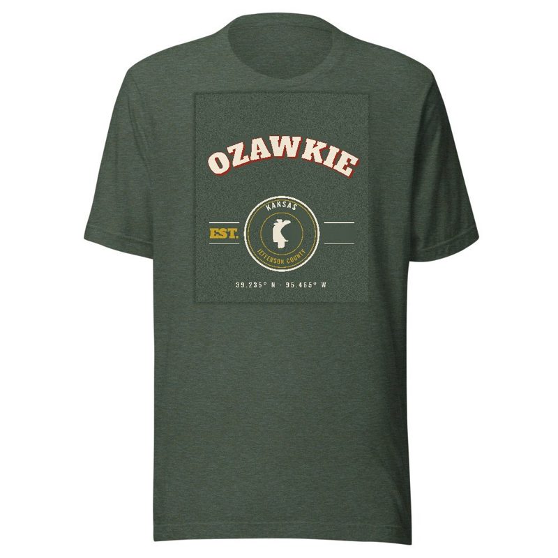
Soft Bella+Canvas jersey
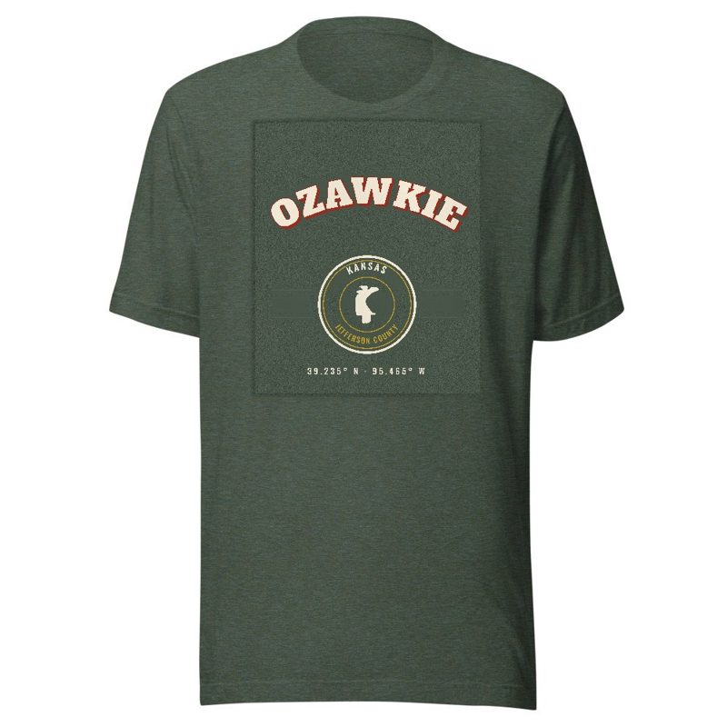
Kids' Bella+Canvas jersey, youth sizes
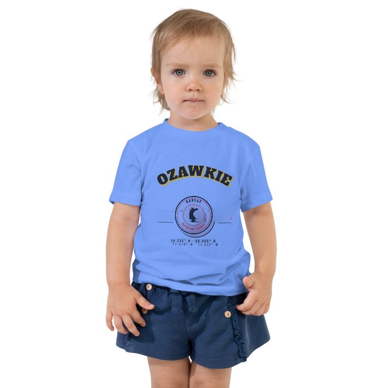
Bella+Canvas toddler jersey

Bella+Canvas baby bodysuit
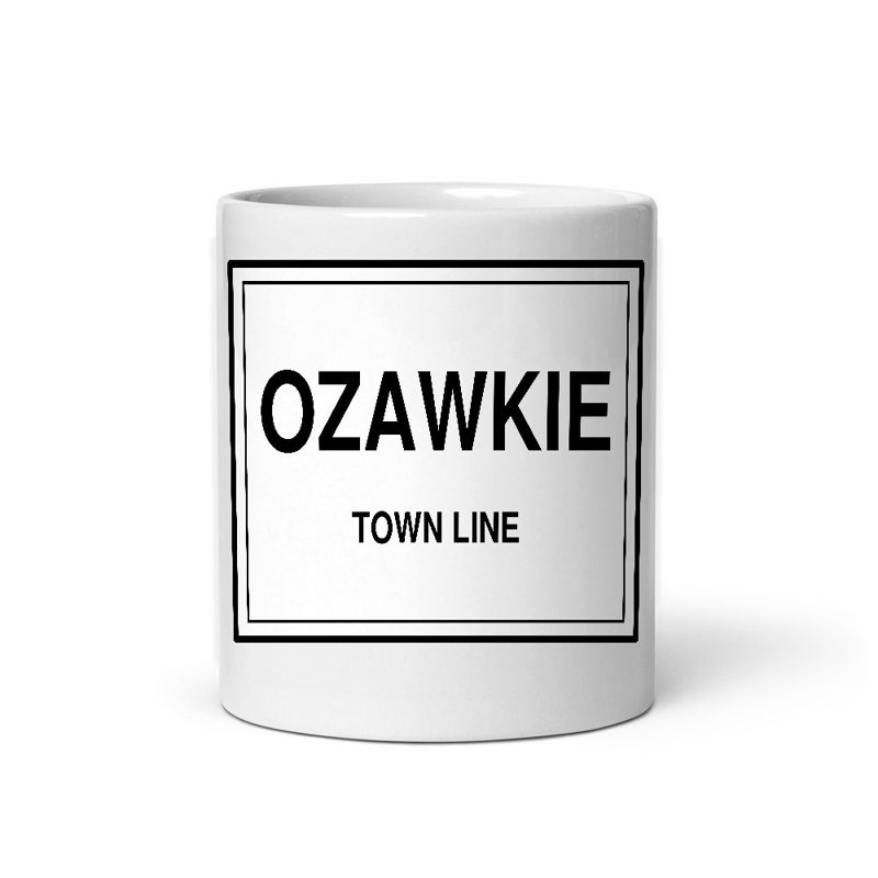
Glossy ceramic, dishwasher safe
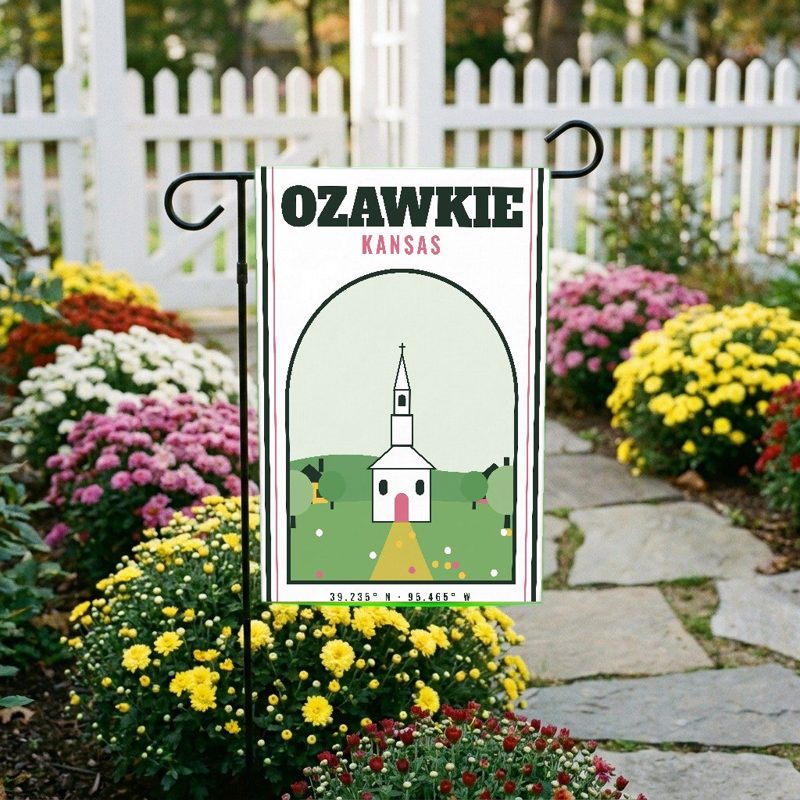
Weatherproof, for the front walk
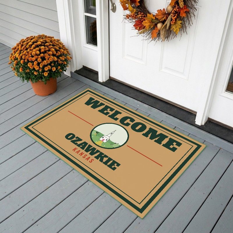
24″×16″, printed coir-look fibers, rubber back

12″×12″ printed wood, ready to hang
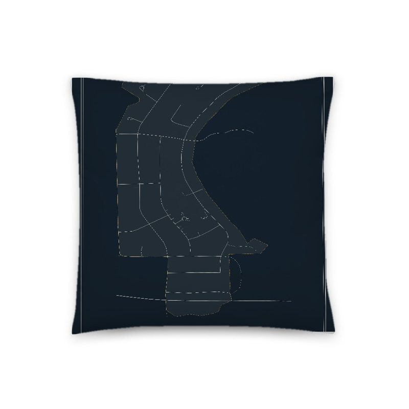
Soft-touch, zip cover
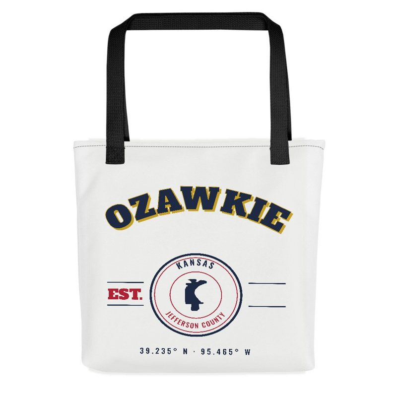
Sturdy all-over-print tote
Glossy top, cork back
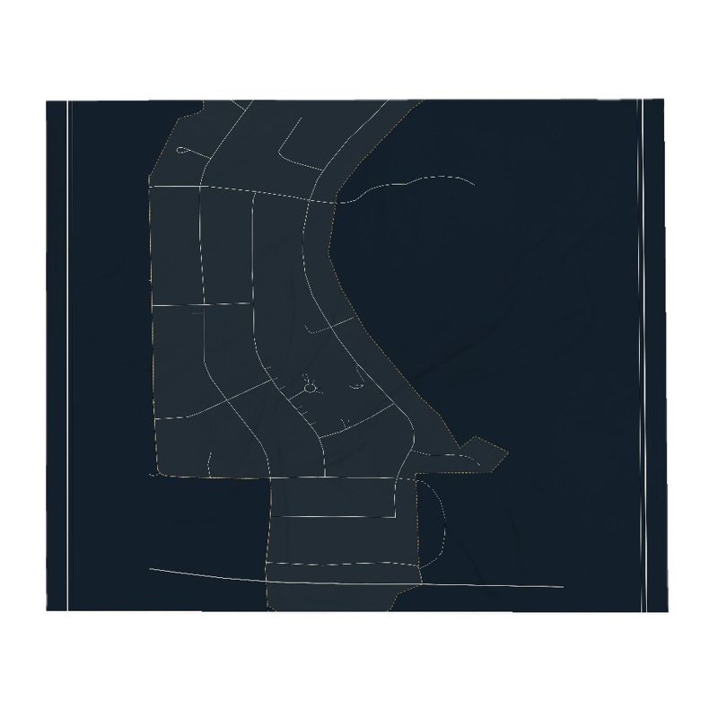
Soft fleece, 50″×60″
20 oz, double-wall stainless
The community was originally named Osawkee and became Jefferson County's original county seat in 1855. The word Ozawkie is derived from the Sauk or Saukee Indians.
In 1930, there were rumors the US Army Corps of Engineers building a dam and relocation would be required. However, it was only in 1954 that the Perry Dam Project was approved. Since Ozawkie was not incorporated, the US Government would not relocate it. Citizens came together to form a non-profit organization to help move Ozawkie. In 1966, Ozawkie was relocated to higher ground west of the original town site and a water tower, school and 26 homes were built.
Adapted (trimmed) from the Wikipedia article Ozawkie, Kansas, revision 1376978653 by its contributors, licensed CC BY-SA 4.0.
We share a part of every Ozawkie sale with local partners, and we'd love to print from your collection. Old photographs, maps and postcards make the best keepsakes.
Partner with usA favorite landmark, your street, a school or team, an anniversary gift, a different product. Tell us and we'll get back to you by email.
Ozawkie's population was 1,628 in the 2020 U.S. Census, down from 1,637 in 2010.