From 1794 to 1825, Utica served as a key ferry crossing of the Ohio River.
- CountyClark County
- Population860 (2020 U.S. Census)
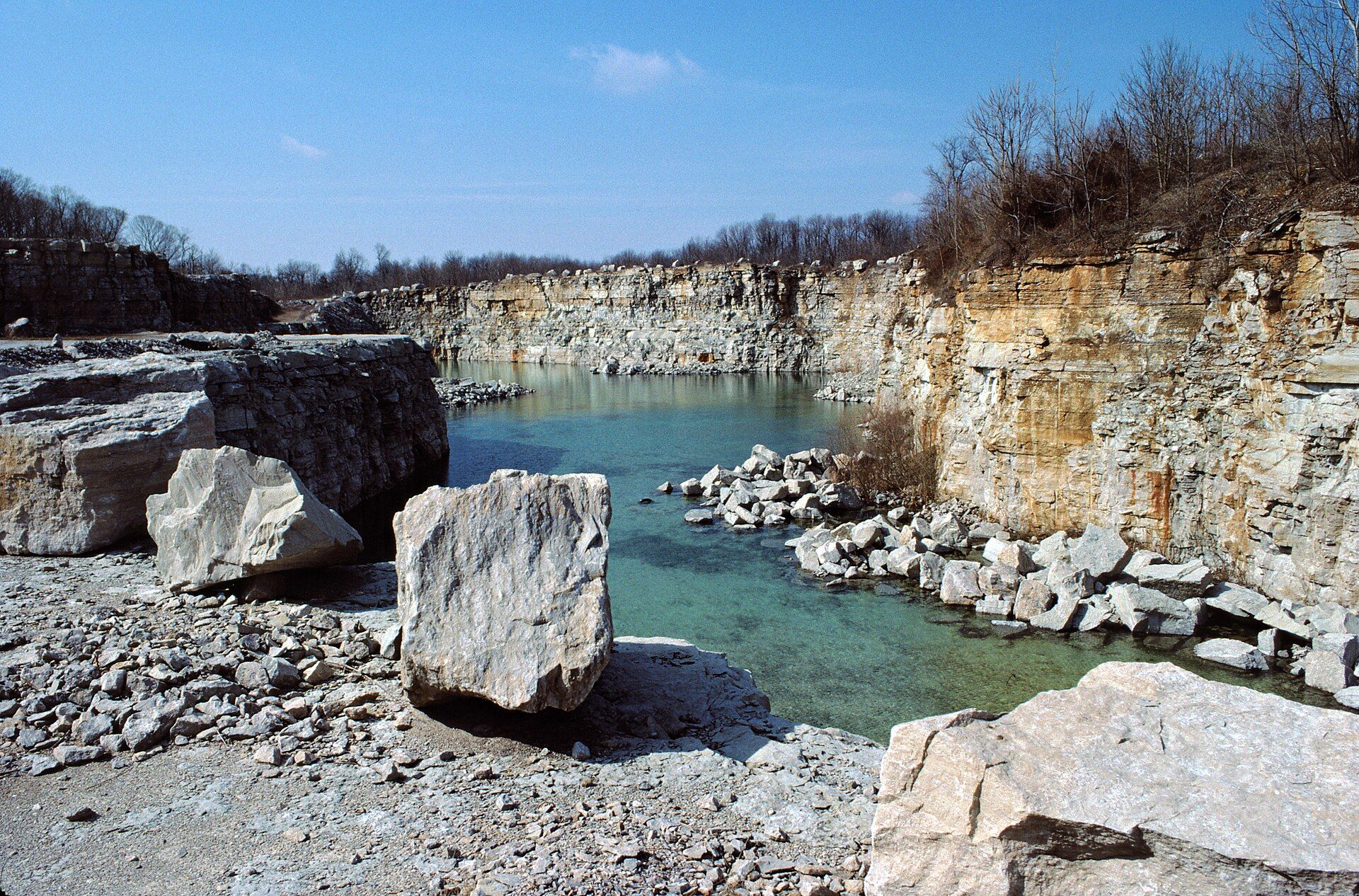
Utica, Indiana gifts and souvenirs: 24 designs made from Utica's own map, landmarks and history, from $16 to $95. Printed to order and shipped free in the USA.
| Popular | Price |
|---|---|
| Utica Hometown Ornament | $23 |
| Utica Vintage Travel Poster | from $40 |
| Utica Varsity Crewneck | from $57 |
| Utica Est. Tee | from $33 |
| Utica Town Line Mug | from $26 |
| Utica Market Tote | $37 |
Ceramic keepsake, gold ribbon
Its landmark photo in a classic travel-poster layout
A local landmark photo as a gallery print
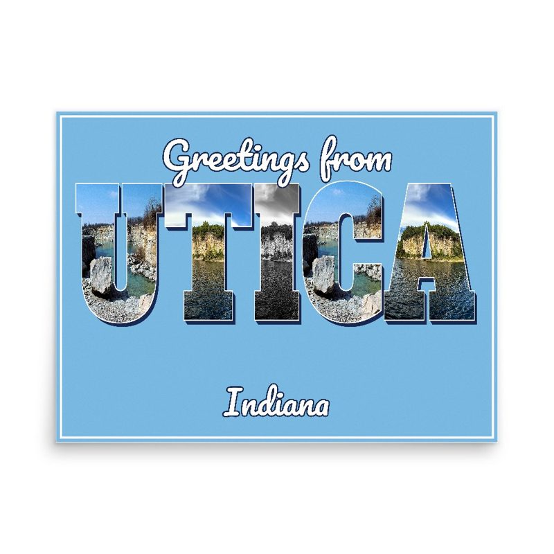
Classic large-letter postcard art, filled with local photos
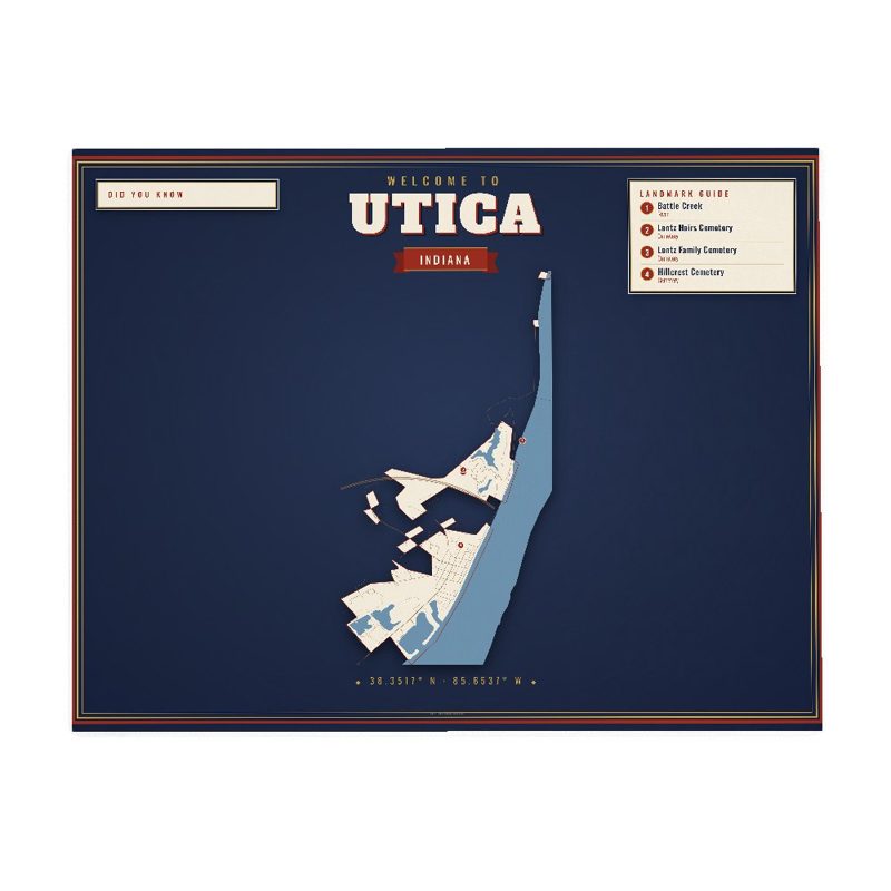
Map of local landmarks, washable fabric
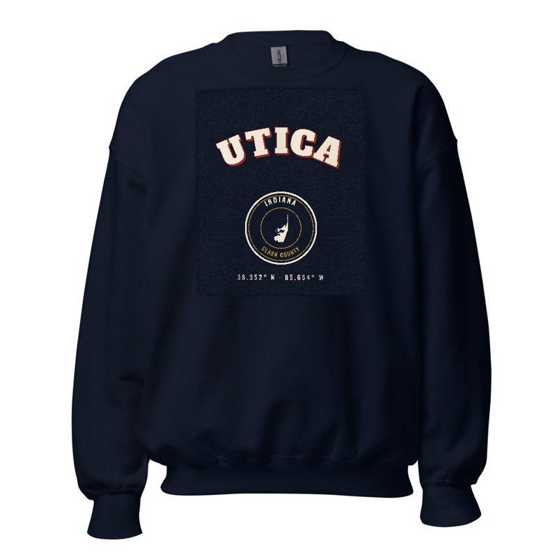
Heavy-blend fleece, street map printed on the back
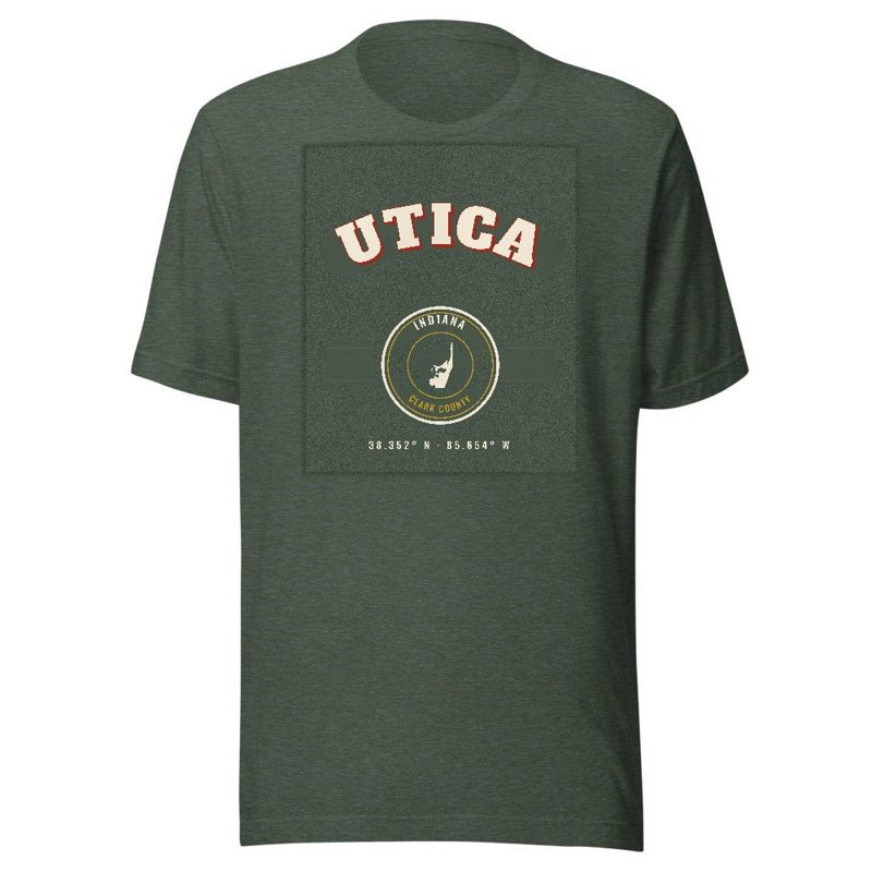
Soft Bella+Canvas jersey
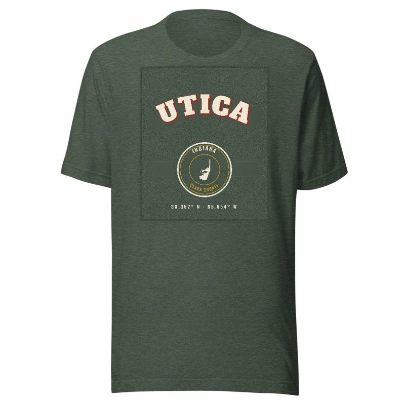
Kids' Bella+Canvas jersey, youth sizes

Bella+Canvas toddler jersey
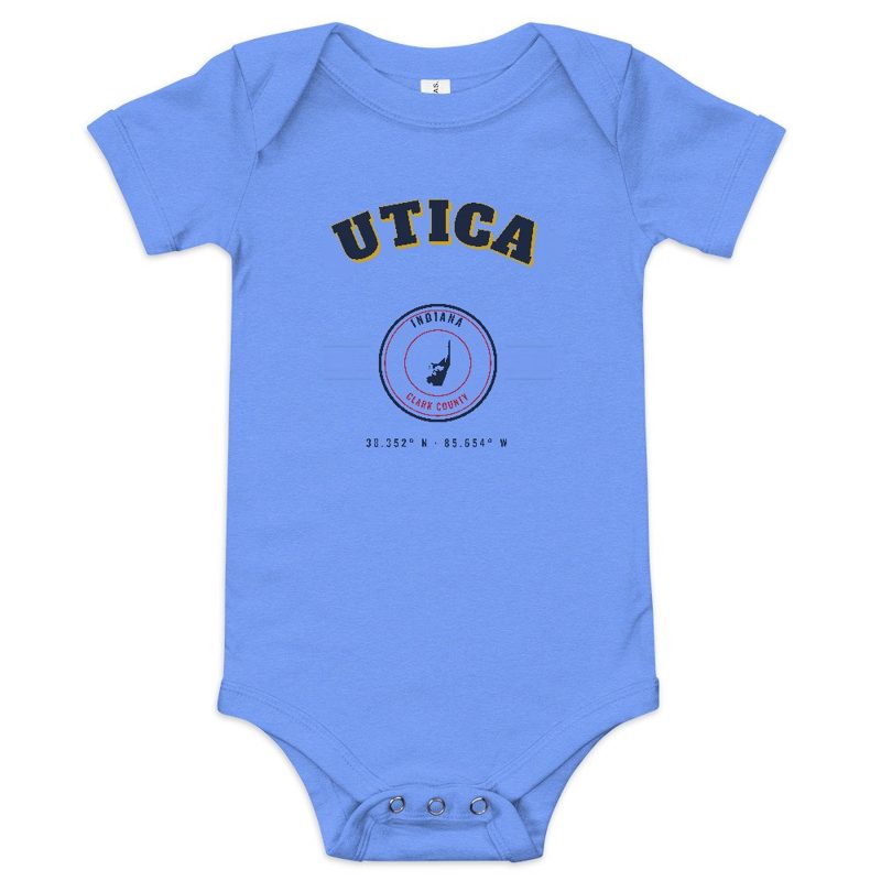
Bella+Canvas baby bodysuit

Large-letter postcard art filled with local photos
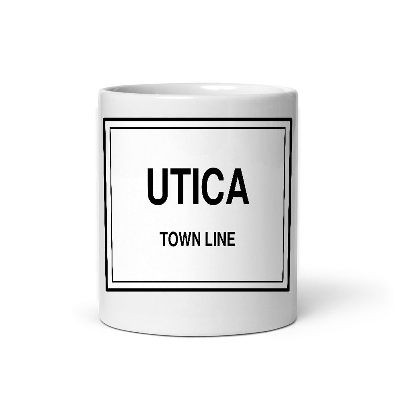
Glossy ceramic, dishwasher safe

Large-letter postcard art filled with local photos, 11 oz ceramic
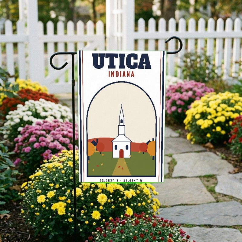
Weatherproof, for the front walk
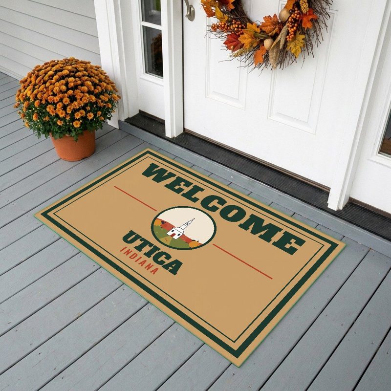
24″×16″, printed coir-look fibers, rubber back
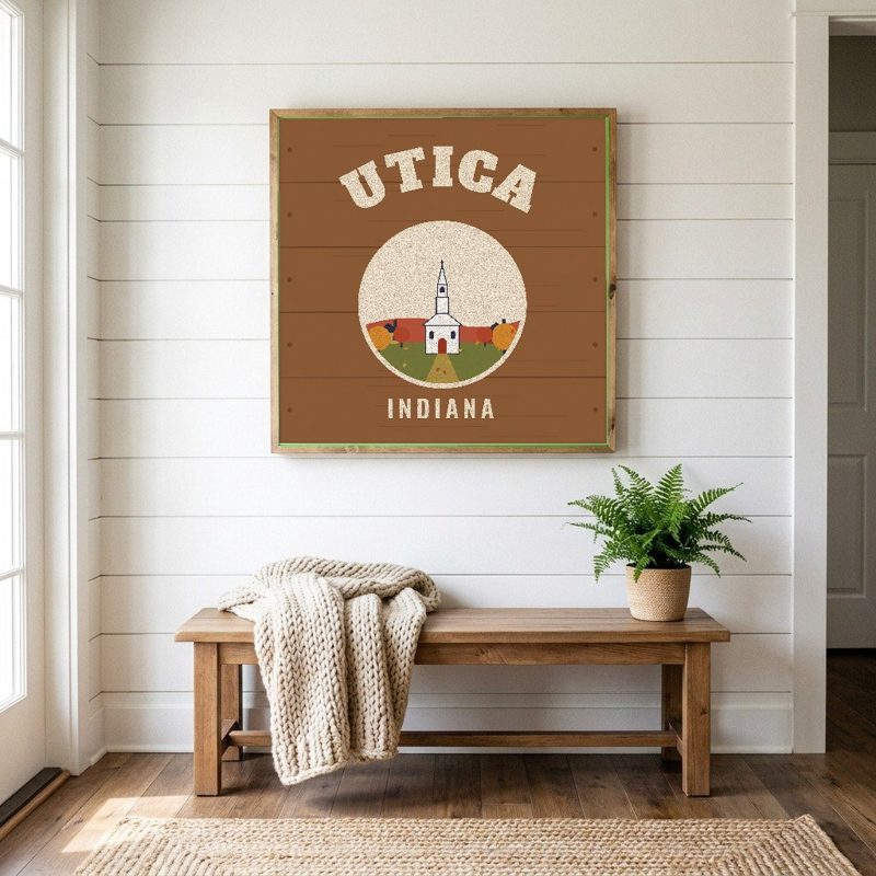
12″×12″ printed wood, ready to hang
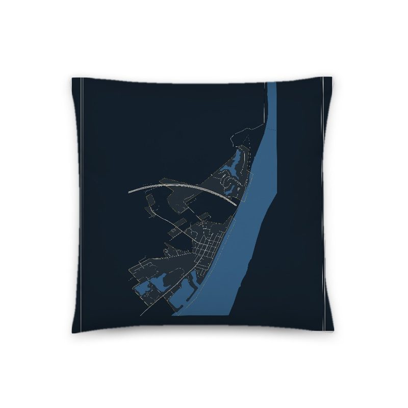
Soft-touch, zip cover
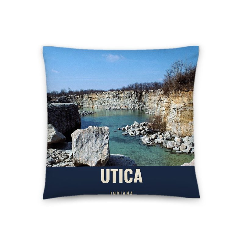
A local landmark photo with the town name, 18″×18″

Sturdy all-over-print tote

Large-letter postcard art on a sturdy tote

Foam-front trucker, printed (not embroidered) with local photos
Glossy top, cork back
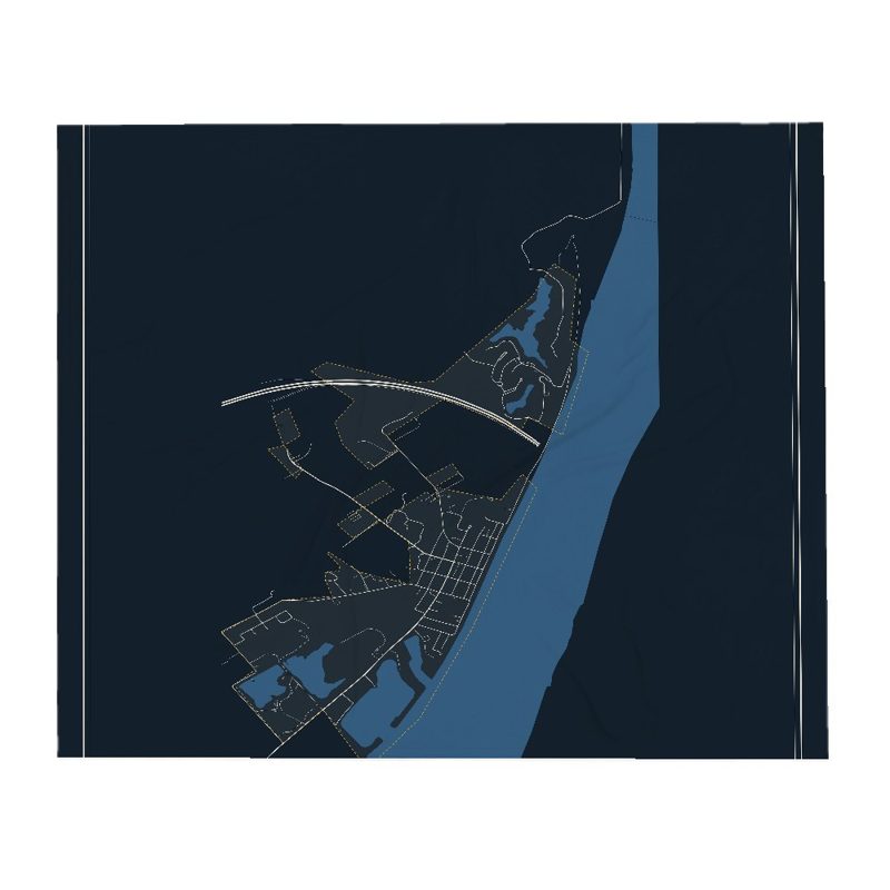
Soft fleece, 50″×60″

20 oz, double-wall stainless
From 1794 to 1825, Utica served as a key ferry crossing of the Ohio River.
From 1794 to 1825, Utica served as a key ferry crossing of the Ohio River. Its location provided a safer alternative to the river crossings at Jeffersonville, where the nearby Falls of the Ohio presented navigational hazards.
James Noble Wood was the first ferryman and founder of Utica. In 1801 he was appointed by Governor W. H. Harrison as one of the justices of the court of general quarter of Clarke of the Territory of Indiana at Springville, Indiana.
Daniel Guernsey, migrated with his family from Connecticut to Clark County in 1817. The Guernsey family traveled by flatboat from Olean Point to their landing near Utica. After a year's farming in the township, Guernsey purchased 200 acres near Blue Lick, Indiana, where the family remained for decades. He graduated from Yale, and was the first school teacher in Monroe County.
In 1997, the town experienced significant flooding. In response, local officials strengthened building, planning and zoning regulations as a condition of receiving federal and state disaster-recovery assistance.
In the years following settlement, Utica became a starting point for several interior roads leading into southern Indiana. Among the earliest was the Utica and Salem Road, opened about 1820 and running northwest through New Providence and the uplands toward Salem in Washington County. Portions of the route followed older traces used as early as 1810 between Blue Lick and Flowers Gap, providing one of the first reliable passages across the Knobstone Ridge. Other early roads connected Utica to Madison in Jefferson County and to the early seat of Scott County, forming the nucleus of Clark County's overland travel network.
Adapted (trimmed) from the Wikipedia article Utica, Indiana, revision 1377149867 by its contributors, licensed CC BY-SA 4.0.
We share a part of every Utica sale with local partners, and we'd love to print from your collection. Old photographs, maps and postcards make the best keepsakes.
Partner with usA favorite landmark, your street, a school or team, an anniversary gift, a different product. Tell us and we'll get back to you by email.
Utica's population was 860 in the 2020 U.S. Census, up from 776 in 2010.