Cart 0
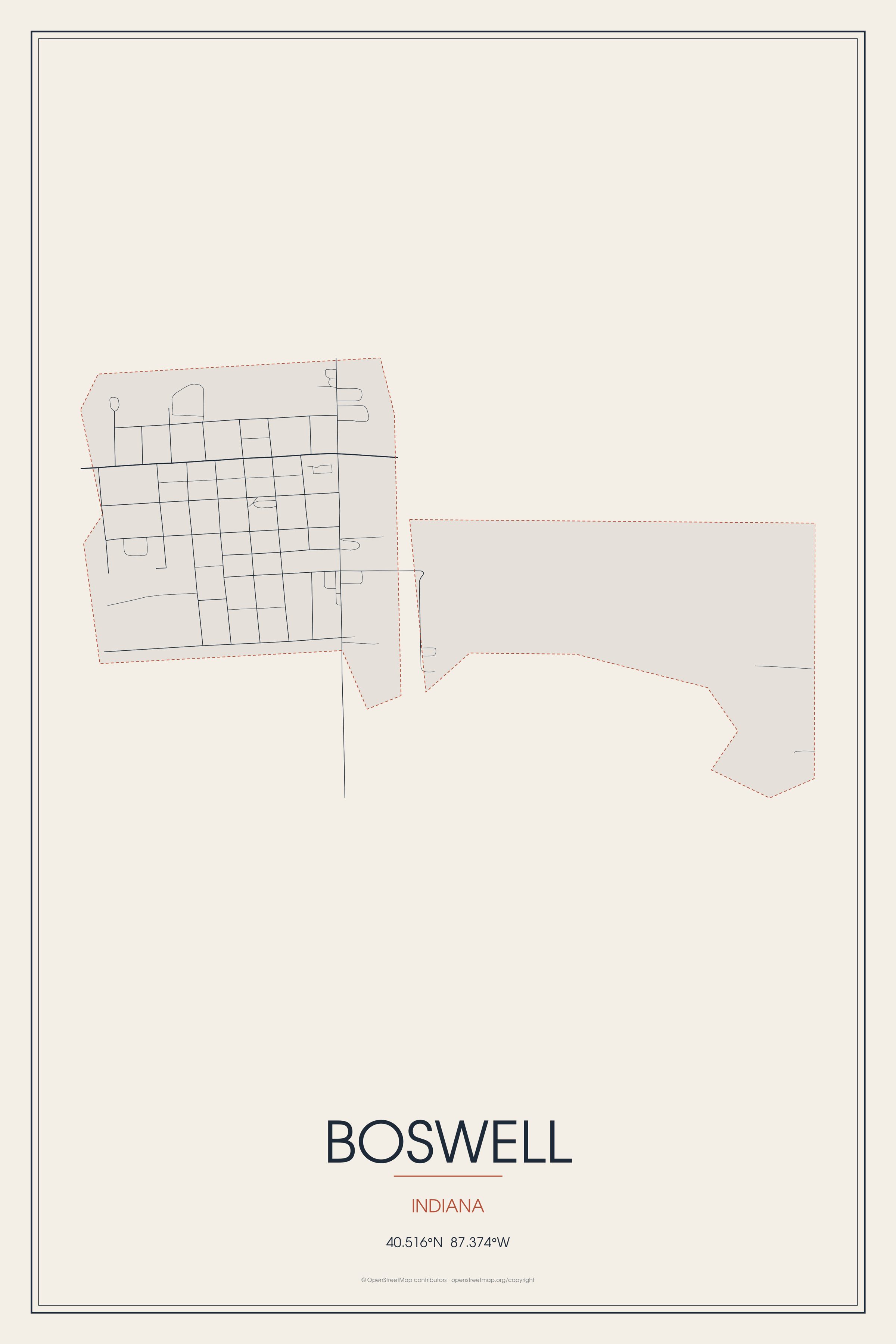
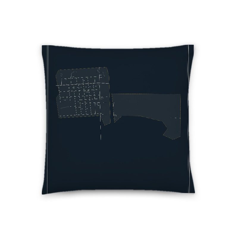
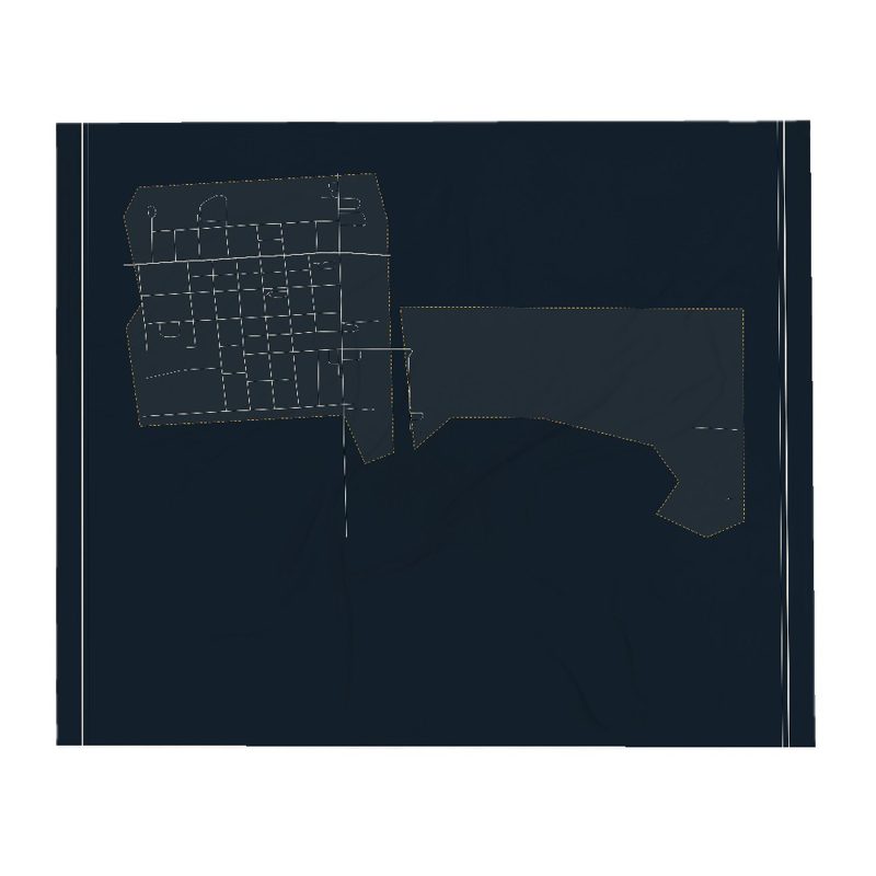
Street map of Boswell, Indiana

BOSWELL

Indiana
Shop the collection
The Boswell Collection

Made for Boswell. Printed to order.

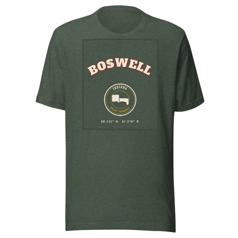
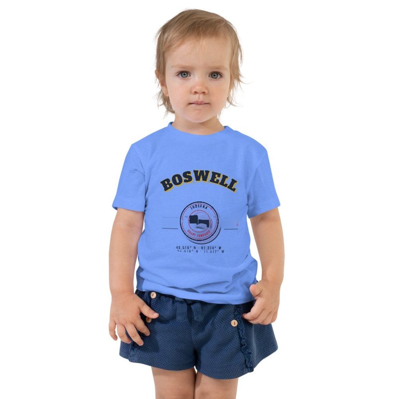
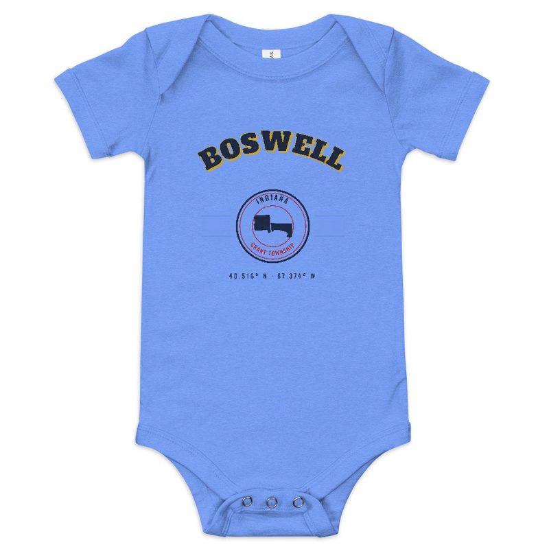
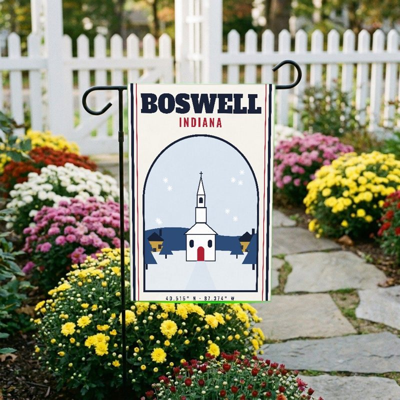
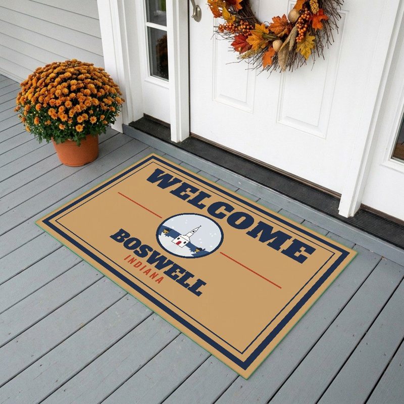
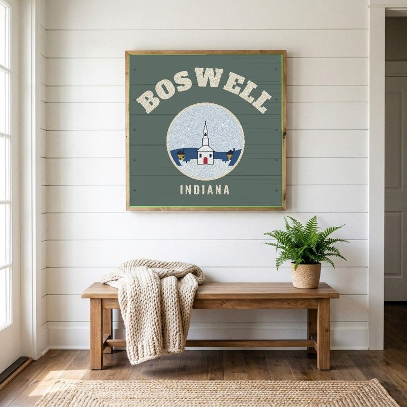
Boswell, Indiana gifts and souvenirs: 15 designs made from Boswell's own map, landmarks and history, from $16 to $95. Printed to order and shipped free in the USA.

PopularPrice
Boswell Hometown Ornament$23
Boswell Varsity Crewneckfrom $57
Boswell Est. Teefrom $33
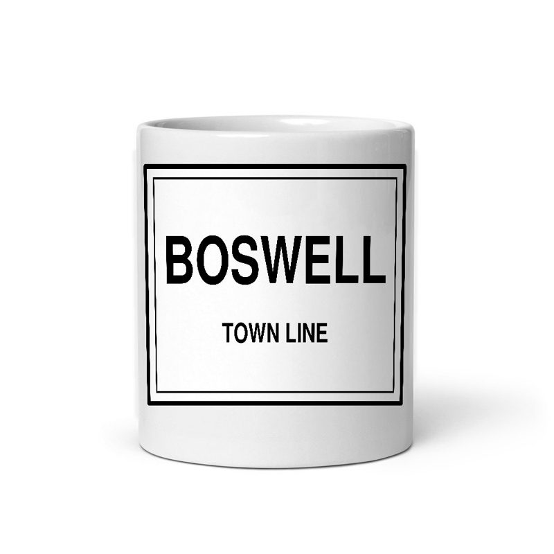
Boswell Town Line Mugfrom $26
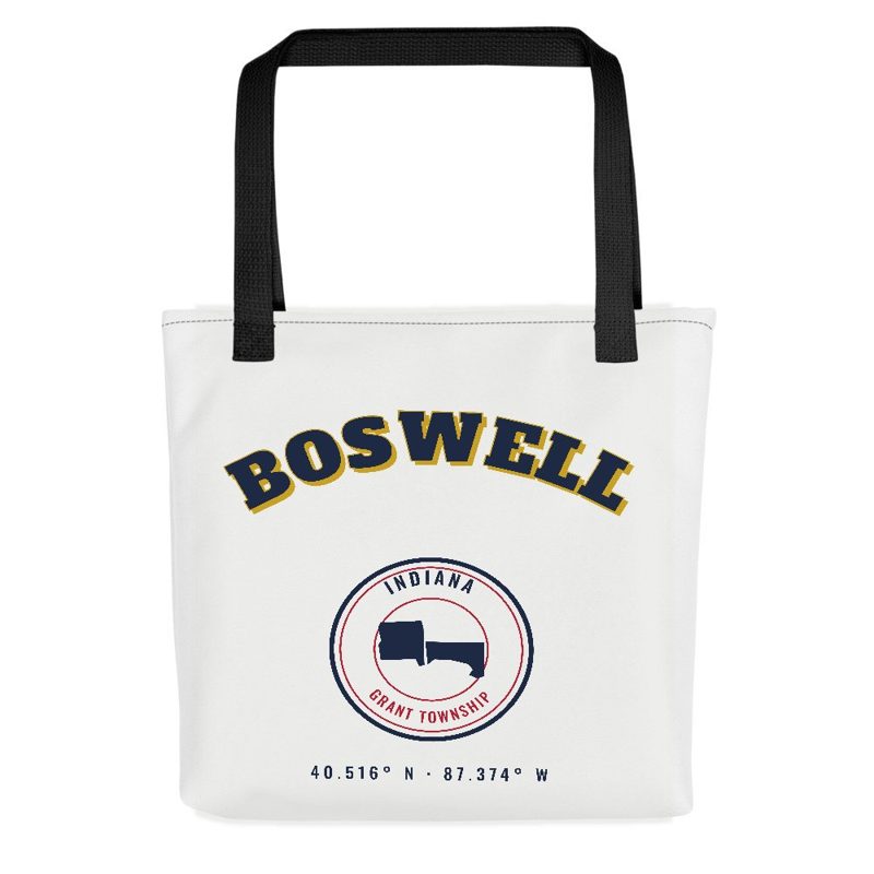
Boswell Market Tote$37

The town of Boswell was first laid out by Charles Moore, but Moore sold the land it occupied to Tippecanoe County-native Elizabeth H. Scott who, with her husband Charles, replatted it in its present form on July 18, 1872.

A short history of Boswell

The town of Boswell was first laid out by Charles Moore, but Moore sold the land it occupied to Tippecanoe County-native Elizabeth H. Scott who, with her husband Charles, replatted it in its present form on July 18, 1872. A small general store run from a "rough board shanty" just north of the railroad was the town's first business, but this was joined by many more as the town grew. The town was named for Parnaham Boswell and was platted with streets bearing the names of the founders, Charles and Elizabeth, and their five children, Grace, Emma, Clinton, Harold and Jennie.

Adapted (trimmed) from the Wikipedia article Boswell, Indiana, revision 1377124173 by its contributors, licensed CC BY-SA 4.0.

For local organizations

Are you with a Boswell historical society?

We share a part of every Boswell sale with local partners, and we'd love to print from your collection. Old photographs, maps and postcards make the best keepsakes.

Partner with us
Custom orders

Want something Boswell we don't make yet?

A favorite landmark, your street, a school or team, an anniversary gift, a different product. Tell us and we'll get back to you by email.

Nearby

Neighboring towns

Sources

Boswell's population was 800 in the 2020 U.S. Census, up from 778 in 2010.