What is now South Beloit was previously full of natural resources such as copper, lead, and bog iron. Landmarks include WGEZ.
- CountyWinnebago County
- Population7,989 (2020 U.S. Census)
- Historic places2 on the National Register
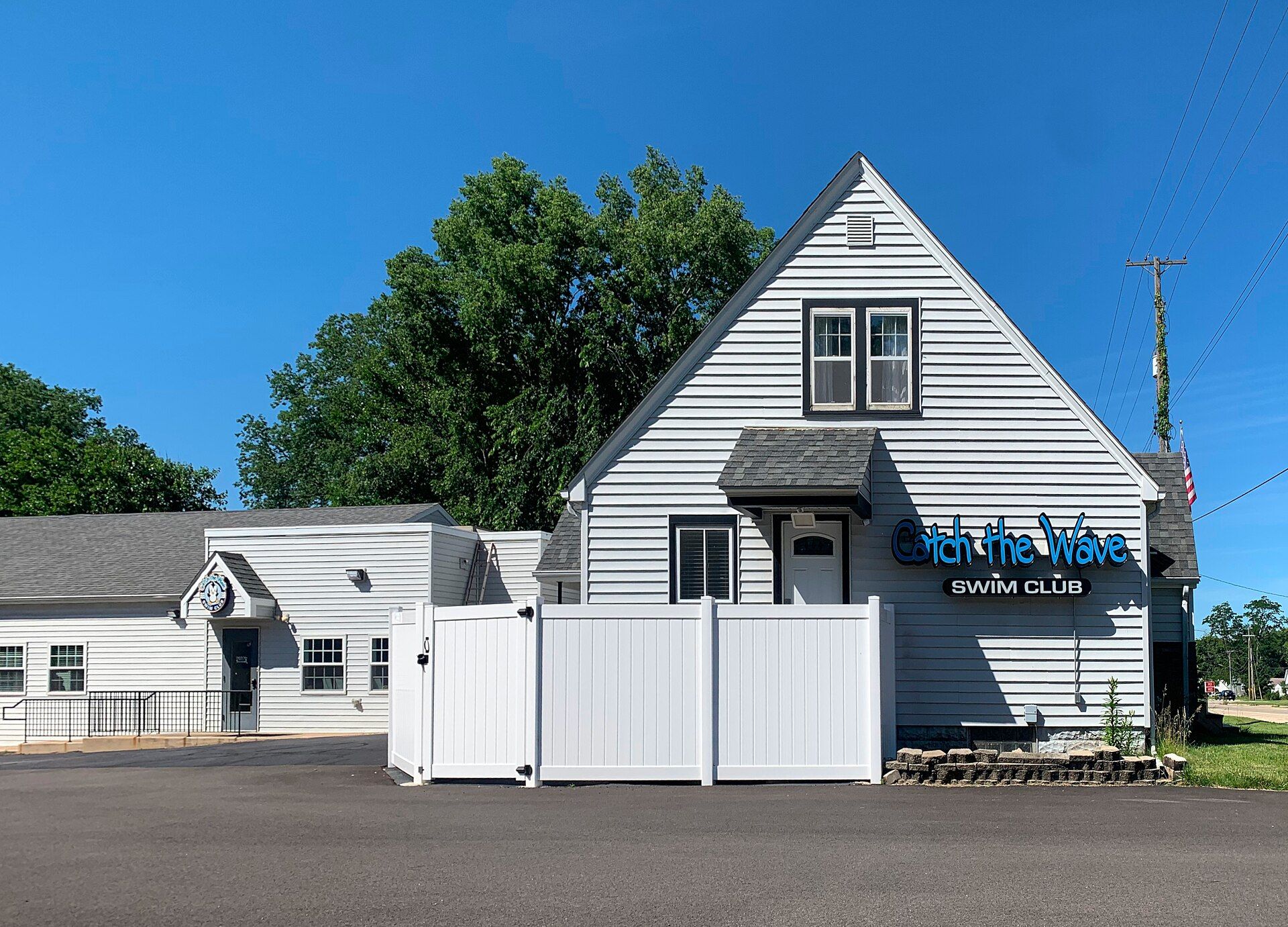
South Beloit, Illinois gifts and souvenirs: 21 designs made from South Beloit's own map, landmarks and history, from $10 to $95. Printed to order and shipped free in the USA.
| Popular | Price |
|---|---|
| South Beloit Hometown Ornament | $23 |
| South Beloit Vintage Travel Poster | from $40 |
| South Beloit Varsity Crewneck | from $57 |
| South Beloit Est. Tee | from $33 |
| South Beloit Town Line Mug | from $26 |
| South Beloit Market Tote | $37 |
Ceramic keepsake, gold ribbon
Its landmark photo in a classic travel-poster layout
A local landmark photo as a gallery print
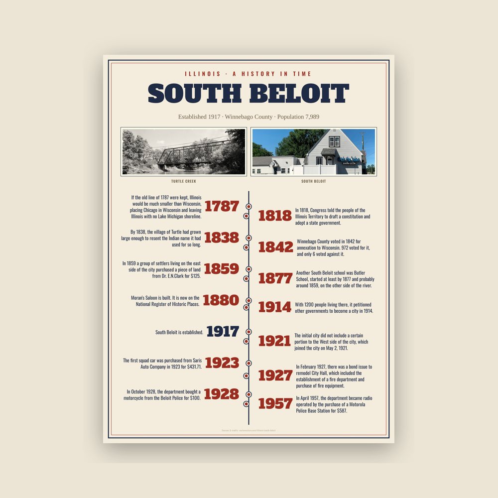
The town's story in dates, from its own records, for home or classroom
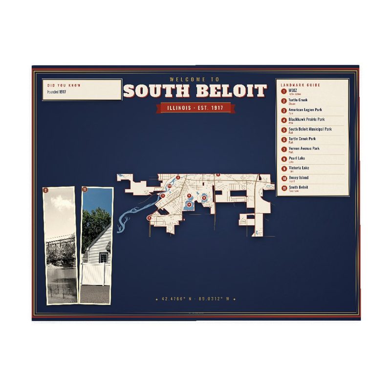
Map of local landmarks, washable fabric
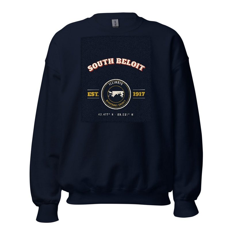
Heavy-blend fleece, street map printed on the back

Soft Bella+Canvas jersey
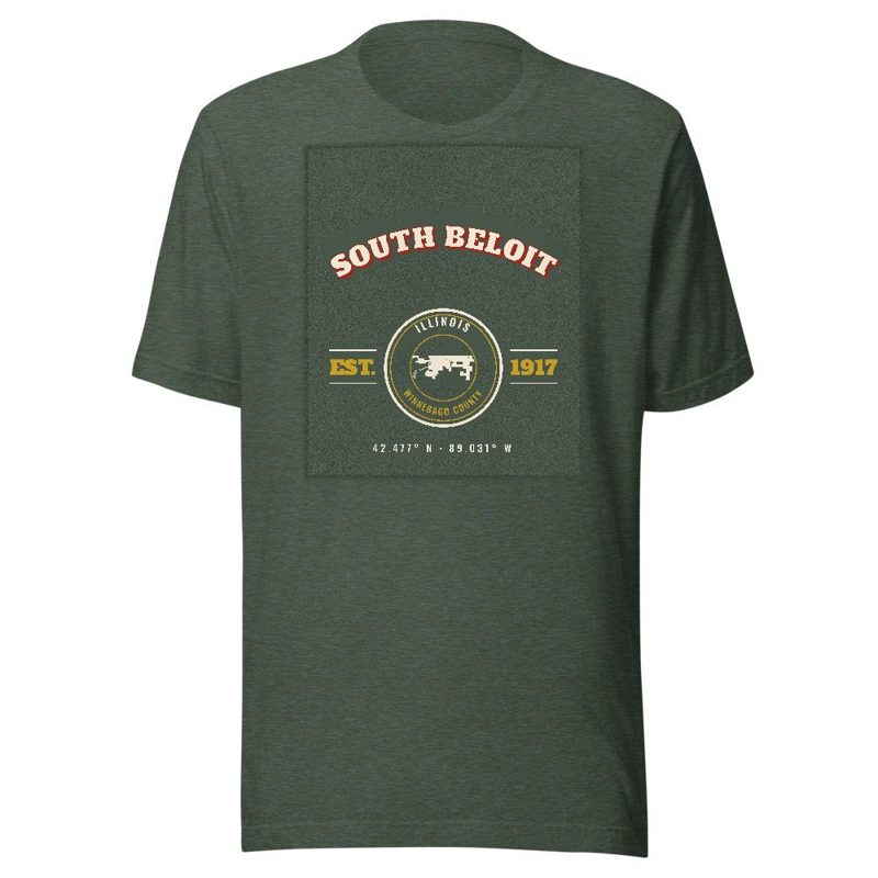
Kids' Bella+Canvas jersey, youth sizes
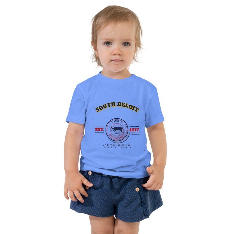
Bella+Canvas toddler jersey
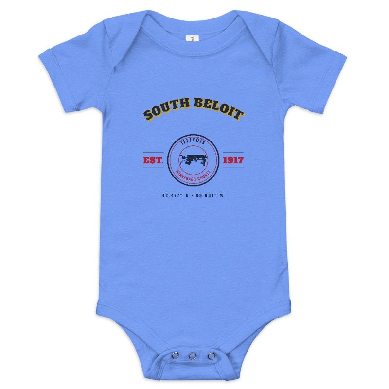
Bella+Canvas baby bodysuit
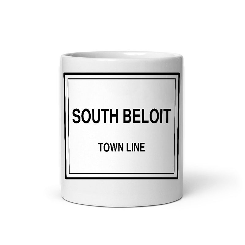
Glossy ceramic, dishwasher safe
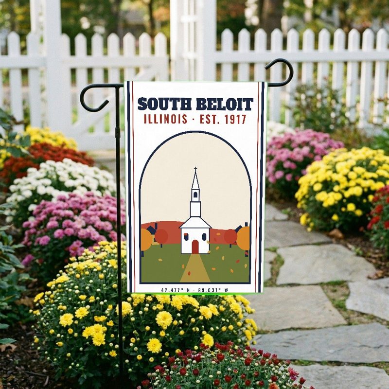
Weatherproof, for the front walk
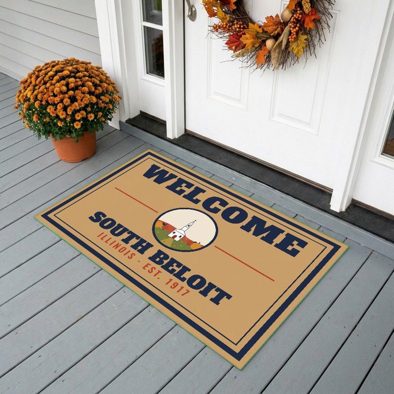
24″×16″, printed coir-look fibers, rubber back
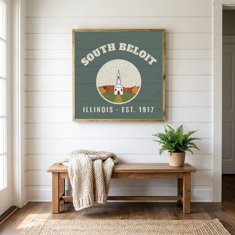
12″×12″ printed wood, ready to hang
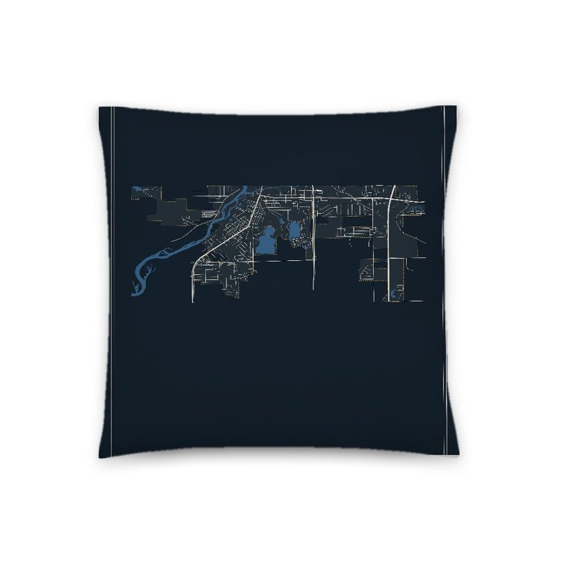
Soft-touch, zip cover

A local landmark photo with the town name, 18″×18″

Sturdy all-over-print tote
Glossy top, cork back
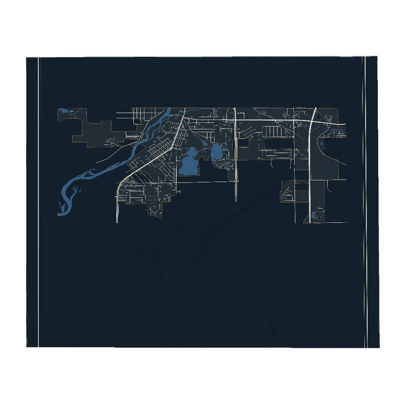
Soft fleece, 50″×60″
20 oz, double-wall stainless

6″×4″ postcard, glossy front
What is now South Beloit was previously full of natural resources such as copper, lead, and bog iron. Landmarks include WGEZ.
Population 2010: 7,892 → 2020: 7,989
From Wikidata (CC0).
What is now South Beloit was previously full of natural resources such as copper, lead, and bog iron. Buff and blue limestones were plentiful everywhere in Winnebago County, with limestone forming the banks of the Rock River and Turtle Creek. The buff limestone gave the first settlers material for their houses and public buildings, some of which can still be seen in Rockford, Rockton, and Beloit/South Beloit. The older homes in South Beloit had 18–20-inch-thick (46–51 cm) basement walls of this limestone. The South Beloit area has a thick deposit of sand, and industries were built here because of its unusually fine quality. A fine quality of clay was also found in the state line area.
Many people have inhabited South Beloit over the years, including the Mound Builders, Sioux, and Illinswek (Illinois). The Turtle Indians of the area were the Winnebago Tribe, Siouan family. They had villages all along the Rock River and Turtle Creek. One large village was in modern-day South Beloit and all the way up to northeast Beloit. It was named for an important chief, Kau Rau Maw Nee (Walking Turtle). Turtle later became modern day Beloit and South Beloit.
In 1818, Congress told the people of the Illinois Territory to draft a constitution and adopt a state government. A heated debate arose over the correct placement of the northern state line of Illinois. Most people in the lead region around Galena and the northern part of the territory did not want to be part of the proposed state because of a large debt and tax for internal improvements. The northern part was against slavery (still practiced in the southern part) and wanted a Lake Michigan shoreline. If the old line of 1787 were kept, Illinois would be much smaller than Wisconsin, placing Chicago in Wisconsin and leaving Illinois with no Lake Michigan shoreline. Getting exasperated with the debate, Nathaniel Pope, who represented Illinois, went ahead and proposed the bill to Congress cutting 8,500 square miles off of Wisconsin and adding it to Illinois. Thus the current state line was created.
Illinois had become a state in 1818, Winnebago County was organized in January 1836, and public surveys started in the fall of 1836. Government sale of lands started in 1837–39, but Rockton Township sale was held until 1843 because of claims made by Polish exiles in 1843 for land previously held by early settlers in and around Rockton and Rockford. Their claims were discounted and the land was put up for sale when the land commission declared the Polish Count had not fulfilled the terms of the agreement. He was to have the choice of three adjacent townships and live on the land, making improvements for ten years. The Polish had chosen Townships 44 and 46, Range 1, East, and not 45 and had not settled on the land. The early settlers held the land by squatters' rights and were now able to buy their farms from the government for $1.25 an acre.
This was also the time when Winnebago County tried to secede from Illinois and attach itself to Wisconsin. The people living there disapproved of the $14,000,000 debt for internal improvements with an empty treasury and insufficient revenue. The southern part of the state was poor and unprogressive, in contrast to the industrious north. Winnebago County voted in 1842 for annexation to Wisconsin. 972 voted for it, and only 6 voted against it. However, the south had more people and out-voted the north. So Winnebago County remained in Illinois.
By 1838, the village of Turtle had grown large enough to resent the Indian name it had used for so long. They also rejected the suggestion of 'New Albany'. A committee (or possibly two committees) was chosen to propose a new name. The French word for nice or pretty is 'bellotte'. The committee members, remembering a happy time in Detroit, sounded the word for pretty and came up with Balloit, then Beloit. The name was approved, reported to the settlement, and accepted. South Beloit became the south part of Beloit.
By the early 1900s, the city was thriving according to the standards if the time. With 1200 people living there, it petitioned other governments to become a city in 1914. The petition was approved, and in May 1917, a special election was held to file for incorporation. The election passed and South Beloit became a city on September 17, 1917. The initial city did not include a certain portion to the West side of the city, which joined the city on May 2, 1921.
The police department was established as one of the first departments by ordinance No.13, October 1917. It started off as a one-man, part-time enforcement. The first squad car was purchased from Saris Auto Company in 1923 for $431.71. In October 1928, the department bought a motorcycle from the Beloit Police for $100. In April 1957, the department became radio operated by the purchase of a Motorola Police Base Station for $587.
In February 1927, there was a bond issue to remodel City Hall, which included the establishment of a fire department and purchase of fire equipment. The first group of volunteers met in fall, 1927 and, with the help of Beloit firemen, learned how to use the equipment and effectively fight fires. The fire truck, a W.S. Knott, was manufactured in Minneapolis and delivered in February 1928 by Clare Hillman, who was familiar with its operation and became the first fire chief. The first uniformed department was made up of twelve members, plus Chief Hillman. These early volunteers were Edward Brady, George Graves, George Holtz, Arthur Schultz, David Bliss, James Howard, John Jensen, Thomas Flanigan, Robert Smith, Everett Clussman, Erwin Earl, and Fay Hanson.
In 1859 a group of settlers living on the east side of the city purchased a piece of land from Dr. E.N.Clark for $125. The school house, costing $621, was built on that property. The district at the time of the purchase was District No.11, Town of Rockton, Winnebago County, and was called Clark School after Dr. Clark.
Another South Beloit school was Butler School, started at least by 1877 and probably around 1859, on the other side of the river. Three of the early teachers at Butler were Maud Whetstone, Kitty Aspland, and William Gharrity. At Clark the first teacher was Lewis Bixby who got $26 a month for five winter months and had to pay his own board. Miss Jennie Kimball taught the following summer for $4 a week. The enrollment at Clark was from six to twenty pupils in the early years. During the Civil War, the school year was reduced.
Adapted (trimmed) from the Wikipedia article South Beloit, Illinois, revision 1383342074 by its contributors, licensed CC BY-SA 4.0.
We share a part of every South Beloit sale with local partners, and we'd love to print from your collection. Old photographs, maps and postcards make the best keepsakes.
Partner with usA favorite landmark, your street, a school or team, an anniversary gift, a different product. Tell us and we'll get back to you by email.
South Beloit's population was 7,989 in the 2020 U.S. Census, up from 7,892 in 2010.