A short history of Simsbury
Early history
At the beginning of the 17th century, the area that would become known as Simsbury as of 1670 was inhabited by indigenous peoples. The Wappinger were one of these groups, composed of eighteen bands that were organized not formally as a tribe, but more akin to an association, like the Delaware. These bands lived between the Hudson and Connecticut rivers. The Wappingers were one of the Algonquian peoples, a linguistic grouping which includes hundreds of tribes. One of the Wappinger bands, the Massaco, lived near, but mostly west of, what became known as the Farmington River, in the area that would become known as Simsbury and Canton, the latter as of 1806.
the Governor and Mr. Heynes shall have liberty to dispose of the ground uppon that parte of Tunxis River cauled Mossocowe, to such inhabitants of Wyndsor as they shall see cause.
The Court thinks fitt that Massacoe be purchased by the Country, and that ther be a Committee chosen to dispose of yt to such inhabitants of Wyndsor as by the shalbe judged meet to make improuement therof...
In 1643, John Griffin and Michael Humphrey started a tar and turpentine business in Windsor. A few years later, a Massaco Indian named Manahanoose started a fire which destroyed tar belonging to Griffin. The Court ordered the payment of "five hundred fathom of wampum" as compensation. As he was unable to pay this amount, Manahanoose was instead ordered by the Court to either serve Griffin or be exchanged for Black slaves. To avoid this, he instead delivered a deed to the land at Massacoe. The deed was agreed to by Manahanoose as well as other Indians, identified as "the proprietors of Massaco". In 1653, the General Court granted 50 acres (200,000 m2) of meadowland to Lieutenant Aaron Cook, 60 acres (240,000 m2) to John Bissell and 50 acres (200,000 m2) to Thomas Ford, all in Massacoe.
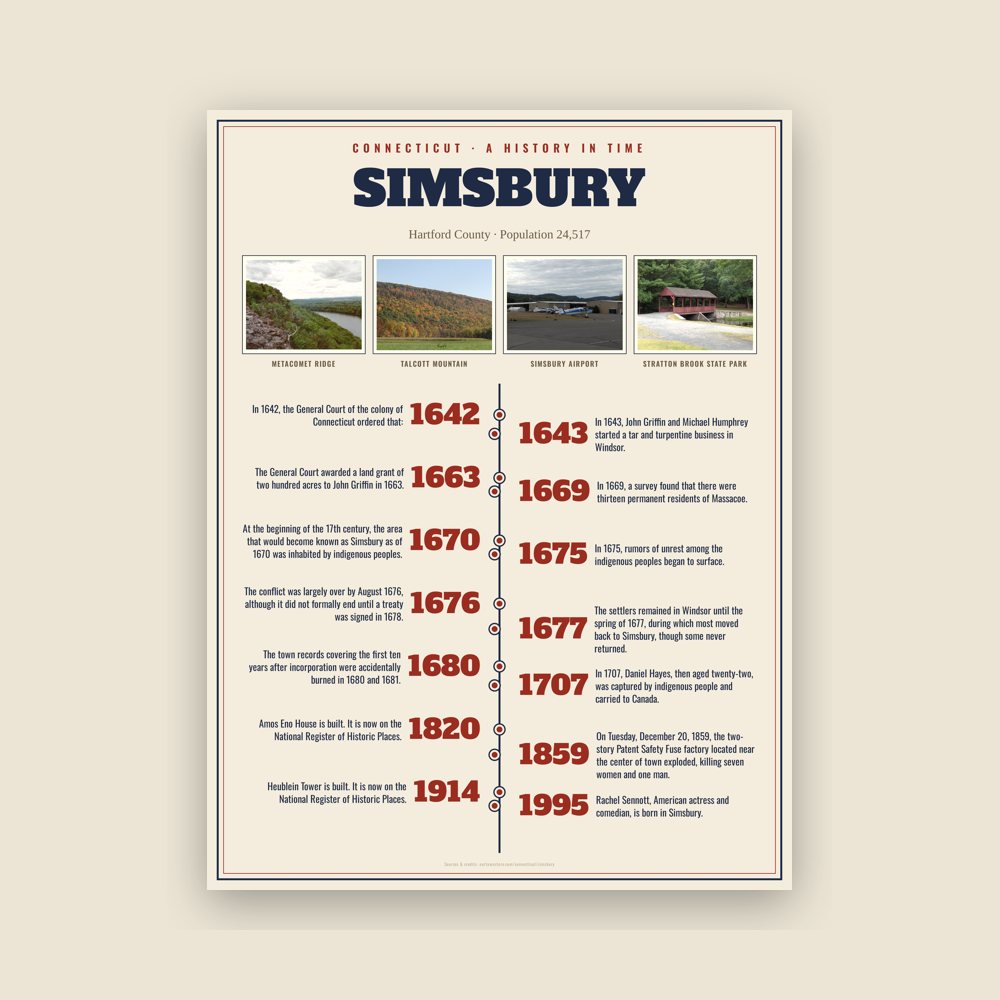
Settlers did not build permanent settlements until the following decade. Aaron Cook built one of the early homes in the area established c.1660 as Terry's Plain, and John Griffin also built a home, possibly in 1664—the date associated with a deed to land in Massacoe. The settlement of Massacoe continued in the late 1660s. The General Court awarded a land grant of two hundred acres to John Griffin in 1663. A deed description from 1664 indicates he had become a permanent inhabitant. In 1669, a survey found that there were thirteen permanent residents of Massacoe. One of those residents, John Case, was appointed to the position of constable. This is the first recorded civil office held by residents of the area.
Read the full history
Incorporation
In 1670, John Case, along with Joshua Holcomb & Thomas Barber, presented a petition to the General Court, requesting that Massacoe become a town of the colony of Connecticut. On May 12, 1670, the General Court granted the petition, and ordered that the plantation should be called "Simmsbury". The boundaries at that time were Farmington on the south and Windsor on the east, with the extent of Simsbury running 10 miles (16 km) north of Farmington and 10 miles (16 km) west of Windsor. The northern border, subject to dispute with Massachusetts, was left to be resolved later. This area includes the township Simsbury as well as Granby and Canton, which would later separate from Simsbury in 1786 and 1806, respectively.
The precise origin of the name of the town is not known for certain. The town records covering the first ten years after incorporation were accidentally burned in 1680 and 1681. One possibility is that the name of Simsbury comes from the English town of Symondsbury. Holcomb, one of the petitioners, originally came from Symondsbury. Another possibility is that the name was derived from Simon Wolcott's name. He was known familiarly as "Sim", and he was considered one of the prominent men of the town.
King Philip's War
In 1675, rumors of unrest among the indigenous peoples began to surface. The rumors proved accurate, and King Philip's War, a war between a number of tribes and the New England settlers, began in the summer. The war extended through parts of four colonies, with Simsbury on the western edge of the conflict. At the time, it was seen as a frontier settlement. The conflict was largely over by August 1676, although it did not formally end until a treaty was signed in 1678.
This Court orders, that the people of Simsbury shall have a week's time to secure themselves and their corn there, and at the end of the week from this date, the souldiers, now in garrison at Simsbury, shall be released their attendance there.
In March 1676, the town of Simsbury was first pillaged, then burned to the ground. This destruction has been described as the most extensive of any event of any Indian War in New England. The settlers remained in Windsor until the spring of 1677, during which most moved back to Simsbury, though some never returned.
Daniel Hayes
In 1707, Daniel Hayes, then aged twenty-two, was captured by indigenous people and carried to Canada. The capture was witnessed and a rescue party was raised, but the group did not catch up with the captors. Hayes was tied up each night and bound to saplings. It took thirty days to reach Canada, where Hayes was forced to run the gauntlet. Near the end of the gauntlet, he hid in a wigwam to avoid an attempted blow by a club. The woman in the wigwam declared that the house was sacred and, having lost a husband and son to a war, adopted Hayes as her son. He remained for several years, attending to the woman. Eventually, he was sold to a Frenchman, who learned that Hayes had skill as a weaver and put him to work in that business. Hayes managed to earn enough to buy his freedom after two years. He then returned to Simsbury, settled down on a farm and married. He became a prominent figure in civil affairs, as well as the church at Salmon Brook (now Granby).
Adapted (trimmed) from the Wikipedia article Simsbury, Connecticut, revision 1376863677 by its contributors, licensed CC BY-SA 4.0.


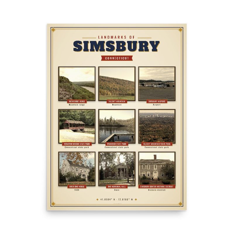













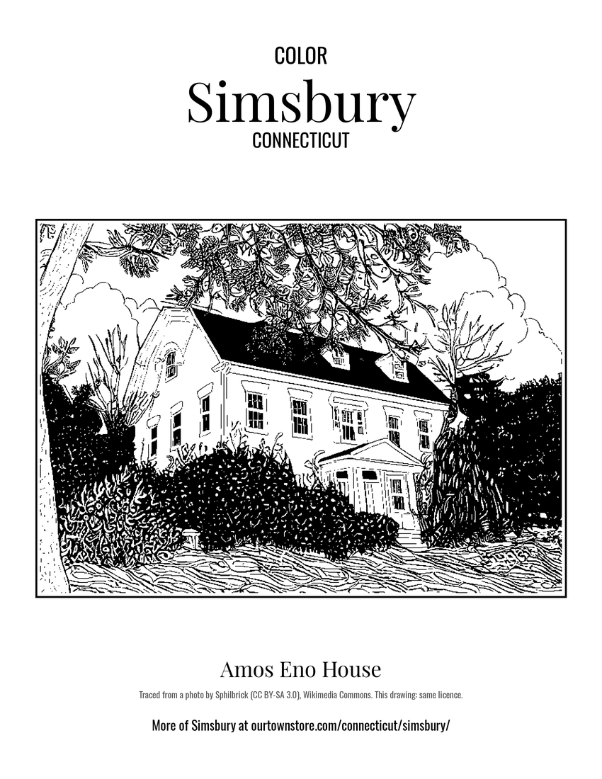 Amos Eno House
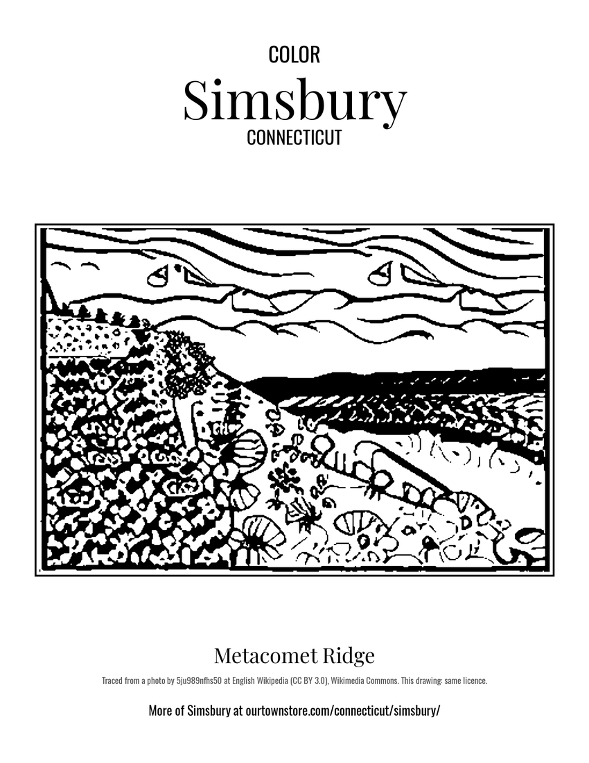 Metacomet Ridge
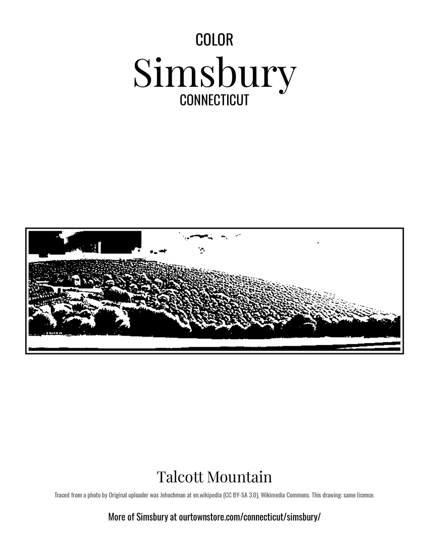 Talcott Mountain
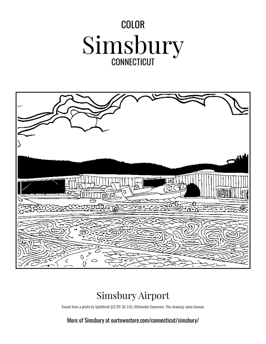 Simsbury Airport