Since 1802
A short history of Sherman
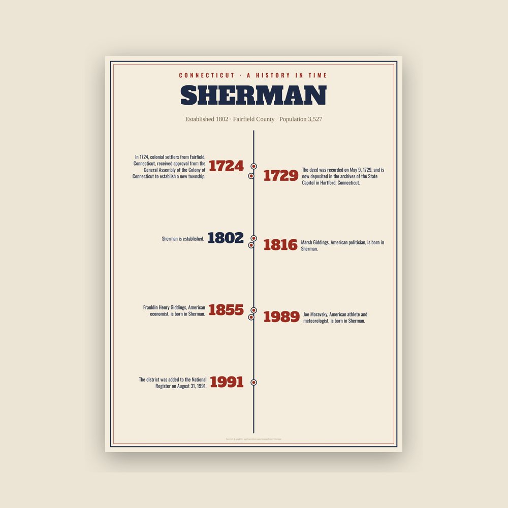
In 1724, colonial settlers from Fairfield, Connecticut, received approval from the General Assembly of the Colony of Connecticut to establish a new township. According to one account, they negotiated with Chief Squantz of the Schaghticoke tribe. Alternatively, it is told that they did not negotiate with Chief Squantz because he moved to the north end of Squantz Pond land area and refused to "sell" the township of New Fairfield. They returned in the spring of 1725, but found that Chief Squantz had died during the winter. His four sons and heirs refused to sign the deeds. It was not until four years later that the white men called "The Proprietors" finally got the drawn marks of several other native people who may not have had authority to sell the land. They "purchased" a 31,000-acre tract of land that is now New Fairfield and Sherman, for 65 pounds sterling, the equivalent of about 300 dollars, on April 24, 1729. The deed was recorded on May 9, 1729, and is now deposited in the archives of the State Capitol in Hartford, Connecticut.
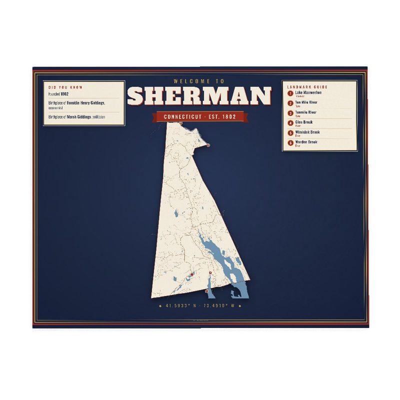
Sherman was formed in 1802 from the northern part of New Fairfield. Originally called the "Upper Seven Miles", it was named for Roger Sherman, the only person who signed all four founding documents of the United States of America. He also had a cobbler's shop in the north end of town which has been reconstructed behind the Northrup House in the center of town.
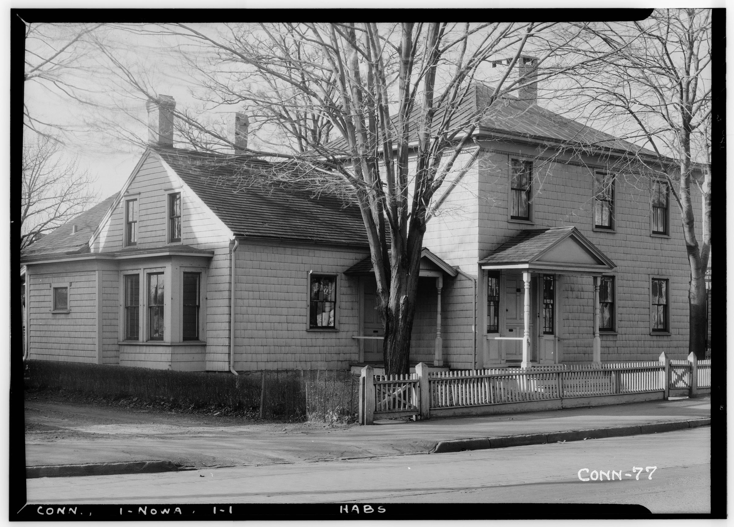
Sherman has one area on the National Register of Historic Places: the Sherman Historic District, bounded roughly by the intersection of Old Greenswood Road and Route 37, northeast past the intersection of Route 37 East and Route 39 North and Sawmill Road. The district was added to the National Register on August 31, 1991.
Adapted (trimmed) from the Wikipedia article Sherman, Connecticut, revision 1376854248 by its contributors, licensed CC BY-SA 4.0.










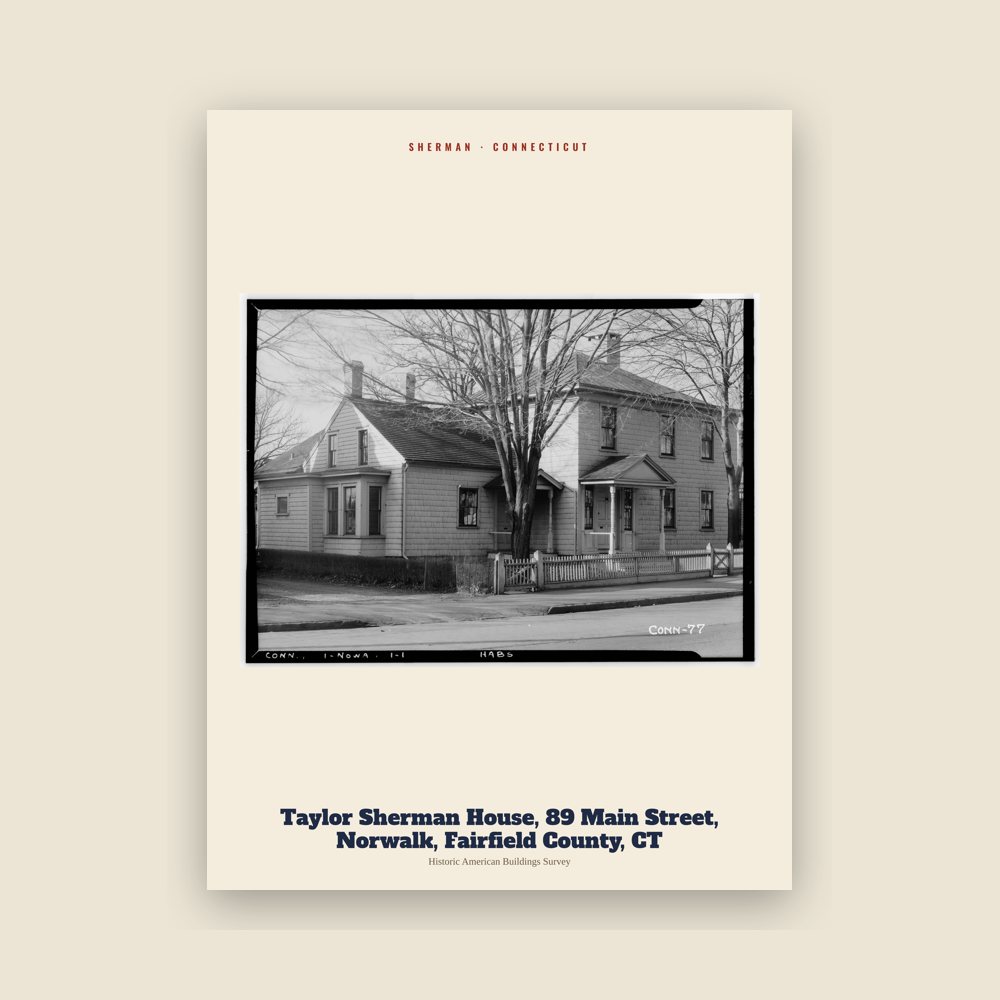
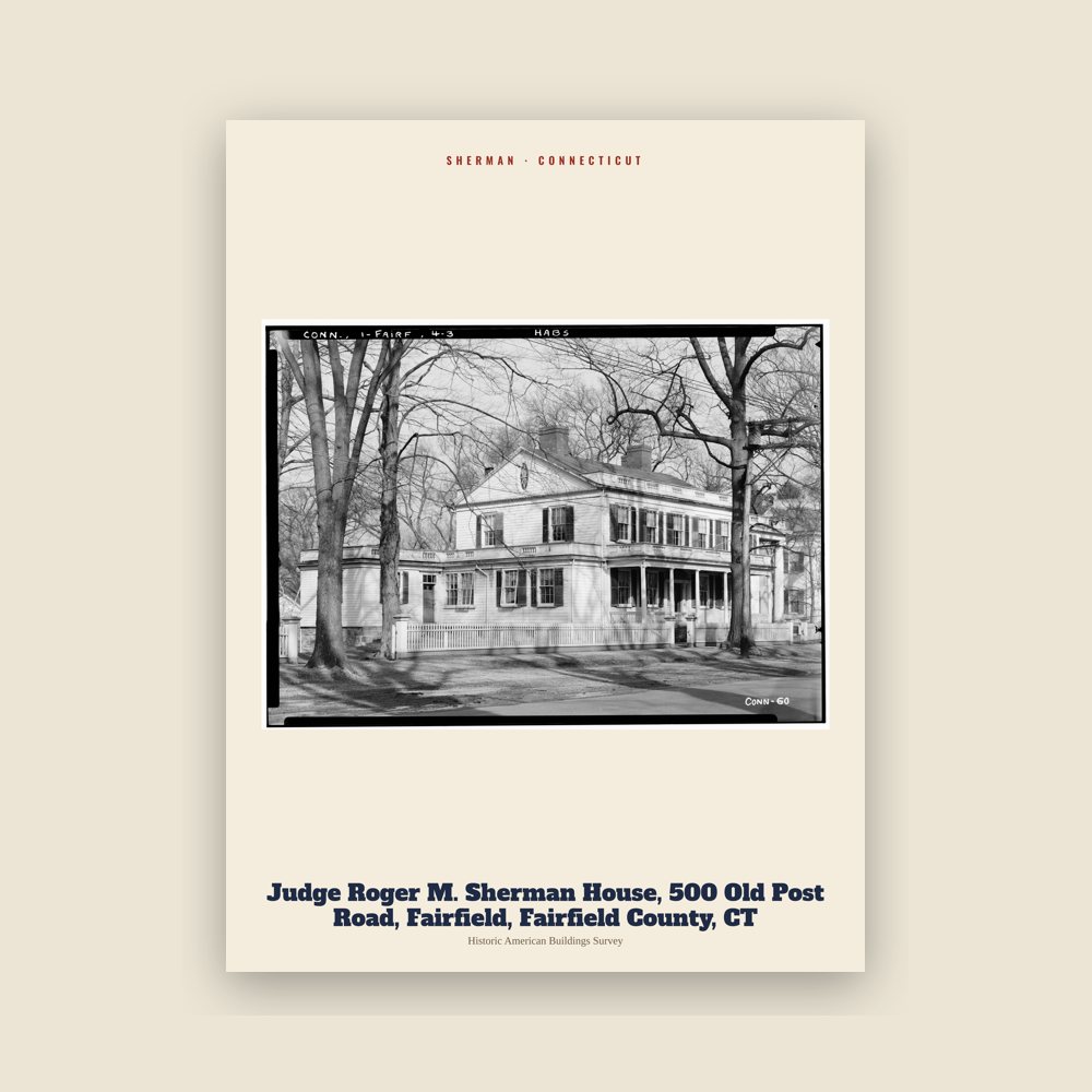
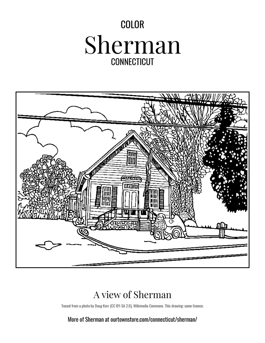 A view of Sherman