Cart 0
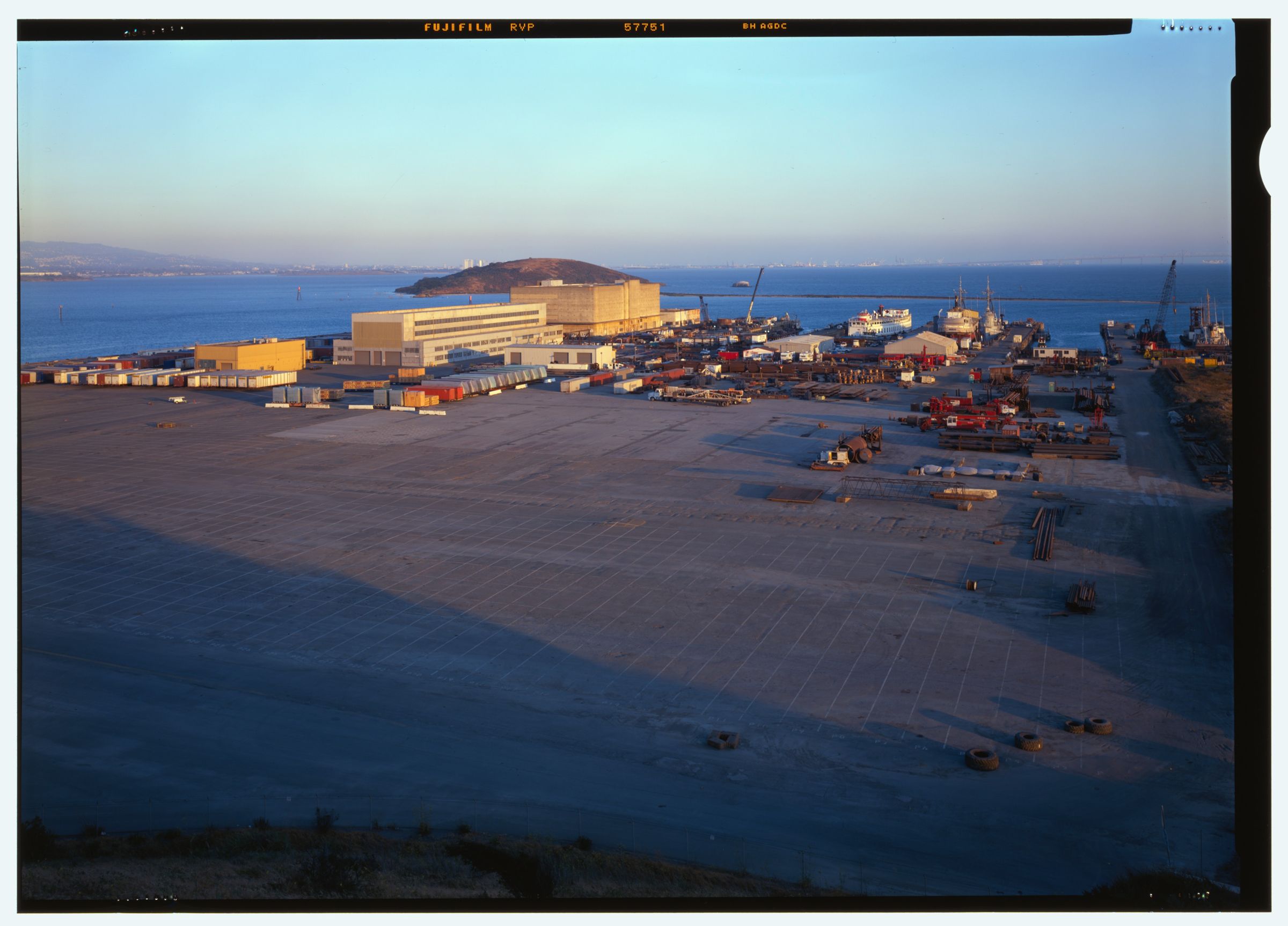
Rosie the Riveter National Historical Park, Richmond, California, Historic American Buildings Survey photograph

RICHMOND

California
Shop the collection

Point Richmond was an island, but industrial development and deliberate fill connected it to the mainland by the early 1900s. Landmarks include Richmond Transit Center, California State Route 123 and Rosie the Riveter World War II Home Front National Historical Park. Richmond is the birthplace of Jason Becker, guitarist and composer.

The Richmond Collection

Made for Richmond. Printed to order.

Richmond, California gifts and souvenirs: 42 designs made from Richmond's own map, landmarks and history, from $10 to $99. Printed to order and shipped free in the USA.

PopularPrice
Richmond Hometown Ornament$23
Richmond Landmarks Photo Posterfrom $40
Richmond Vintage Travel Posterfrom $40
Richmond Varsity Crewneckfrom $57
Richmond Est. Teefrom $33
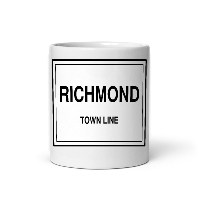
Richmond Town Line Mugfrom $26
Richmond Hometown Ornament

Richmond Hometown Ornament

Ceramic keepsake, gold ribbon, in 4 styles

$23
Richmond Landmarks Photo Poster

Richmond Landmarks Photo Poster

Nine local landmarks, archival matte

from $40
Richmond Vintage Travel Poster

Richmond Vintage Travel Poster

Its landmark photo in a classic travel-poster layout

from $40
Richmond Photo Art Print

Richmond Photo Art Print

A local landmark photo as a gallery print

from $40
Richmond “Greetings From” Poster

Richmond “Greetings From” Poster

Classic large-letter postcard art, filled with local photos

from $40
Richmond Snapshot Collage Poster

Richmond Snapshot Collage Poster

Six local landmarks as instant photos on kraft paper

from $40
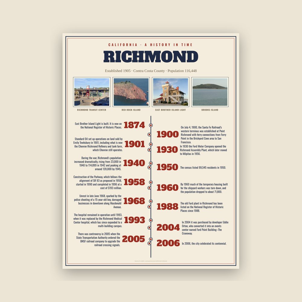
Richmond History Timeline Poster

Richmond History Timeline Poster

The town's story in dates, from its own records, for home or classroom

from $44
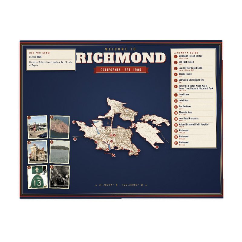
Richmond Map Placemat

Richmond Map Placemat

Map of local landmarks, washable fabric

$31
Richmond Varsity Crewneck

Richmond Varsity Crewneck

Heavy-blend fleece, street map printed on the back

from $57
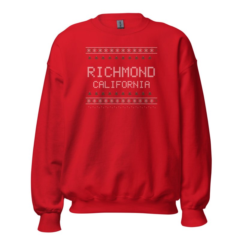
Richmond Hometown Knit Sweater

Richmond Hometown Knit Sweater

Red heavy-blend crewneck, knit-stitch town print

from $57
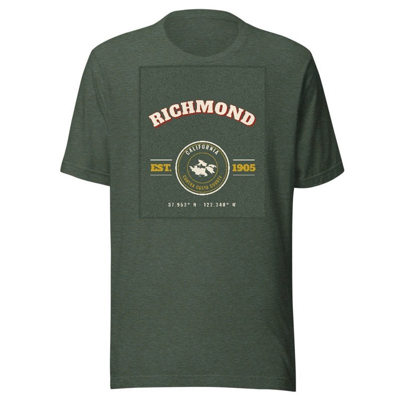
Richmond Est. Tee

Richmond Est. Tee

Soft Bella+Canvas jersey

from $33
Richmond Est. Youth Tee

Richmond Est. Youth Tee

Kids' Bella+Canvas jersey, youth sizes

$30
Richmond Est. Toddler Tee

Richmond Est. Toddler Tee

Bella+Canvas toddler jersey

$29
Richmond Est. Baby One Piece

Richmond Est. Baby One Piece

Bella+Canvas baby bodysuit

$30
Richmond “Greetings From” Tee

Richmond “Greetings From” Tee

Large-letter postcard art filled with local photos

from $35
Richmond Town Line Mug

Richmond Town Line Mug

Glossy ceramic, dishwasher safe

from $26
Richmond “Greetings From” Mug

Richmond “Greetings From” Mug

Large-letter postcard art filled with local photos, 11 oz ceramic

from $29
Richmond Garden Flag

Richmond Garden Flag

Weatherproof, for the front walk

$31
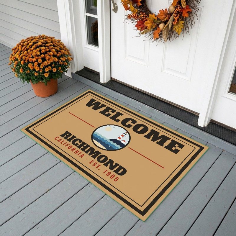
Richmond Welcome Doormat

Richmond Welcome Doormat

24″×16″, printed coir-look fibers, rubber back

$66
Richmond Hometown Wood Sign

Richmond Hometown Wood Sign

12″×12″ printed wood, ready to hang

$48
Richmond Map Throw Pillow

Richmond Map Throw Pillow

Soft-touch, zip cover

$47
Richmond Landmark Photo Pillow

Richmond Landmark Photo Pillow

A local landmark photo with the town name, 18″×18″

$49
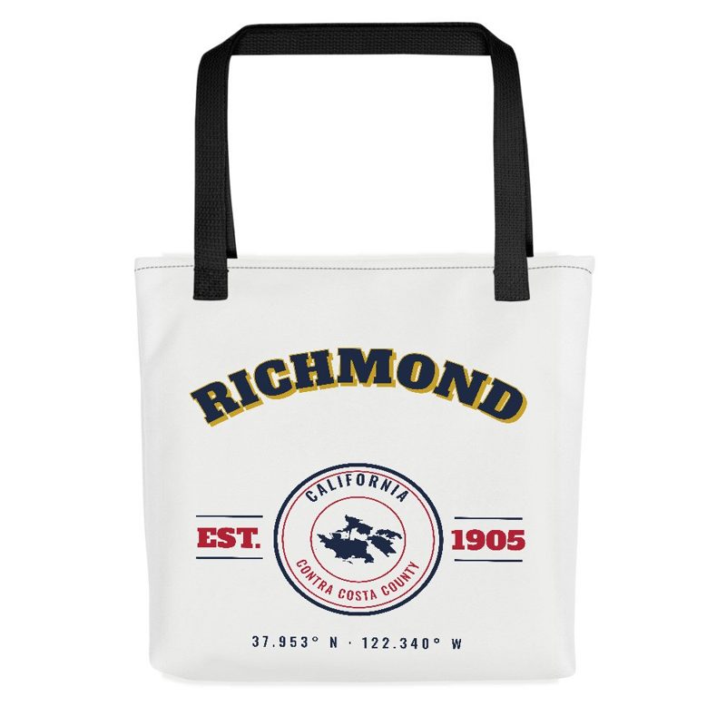
Richmond Market Tote

Richmond Market Tote

Sturdy all-over-print tote

$37
Richmond “Greetings From” Tote

Richmond “Greetings From” Tote

Large-letter postcard art on a sturdy tote

$37
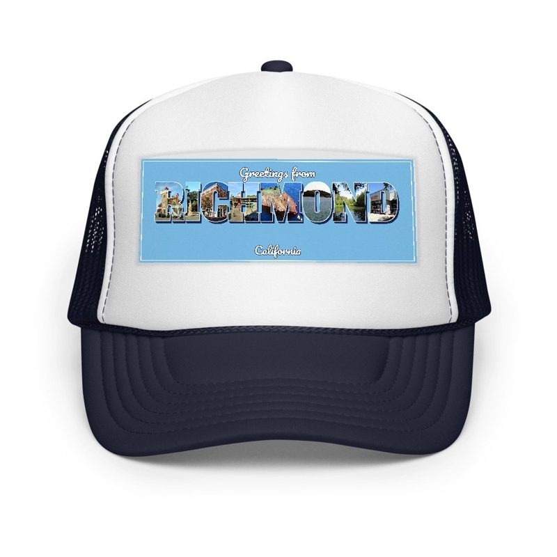
Richmond “Greetings From” Trucker Cap

Richmond “Greetings From” Trucker Cap

Foam-front trucker, printed (not embroidered) with local photos

$33
Richmond Cork Coaster

Richmond Cork Coaster

Glossy top, cork back

$16
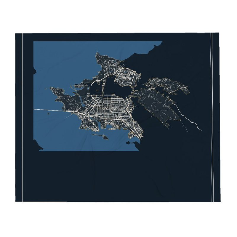
Richmond Street Map Throw Blanket

Richmond Street Map Throw Blanket

Soft fleece, 50″×60″

from $72
Richmond Snapshot Collage Blanket

Richmond Snapshot Collage Blanket

Six local landmarks as instant photos, soft fleece 50″×60″

from $76
Richmond Est. Tumbler

Richmond Est. Tumbler

20 oz, double-wall stainless

$51
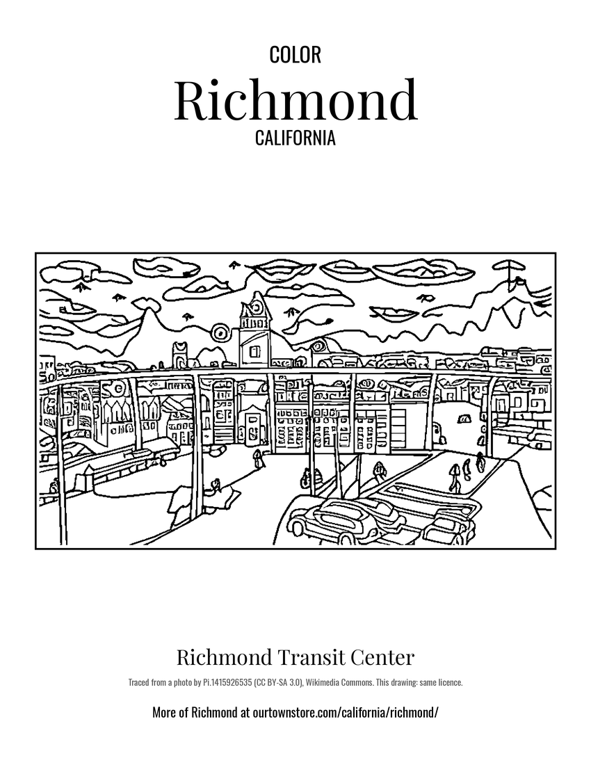
Richmond Richmond Transit Center Postcard

Richmond Richmond Transit Center Postcard

6″×4″ postcard, glossy front

$10
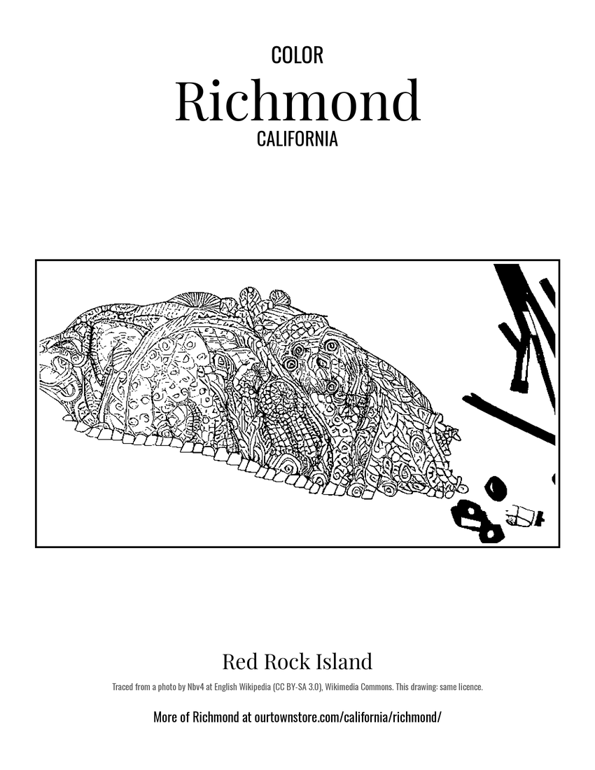
Richmond Red Rock Island Postcard

Richmond Red Rock Island Postcard

6″×4″ postcard, glossy front

$10
Richmond East Brother Island Light Postcard

Richmond East Brother Island Light Postcard

6″×4″ postcard, glossy front

$10
Richmond Brooks Island Postcard

Richmond Brooks Island Postcard

6″×4″ postcard, glossy front

$10
Richmond California State Route 123 Postcard

Richmond California State Route 123 Postcard

6″×4″ postcard, glossy front

$10
Richmond Rosie the Riveter World War II Home Front National Historical Park Postcard

Richmond Rosie the Riveter World War II Home Front National Historical Park Postcard

6″×4″ postcard, glossy front

$10
Richmond Sanborn Map Print

Richmond Sanborn Map Print

The town's earliest Sanborn fire-insurance map, drawn building by building and hand-coloured, from the Library of Congress

from $44
Richmond Rosie the Riveter National Historical Park, Ford Assembly Plant, 1400 Harbour Way South Archive Print

Richmond Rosie the Riveter National Historical Park, Ford Assembly Plant, 1400 Harbour Way South Archive Print

From the Library of Congress collections: a historic survey drawing or photograph of the town

from $44
Richmond Rosie the Riveter National Historical Park Archive Print

Richmond Rosie the Riveter National Historical Park Archive Print

From the Library of Congress collections: a historic survey drawing or photograph of the town

from $44
Richmond Rosie the Riveter National Historical Park, SS RED OAK VICTORY, Moored at end of Dornan Drive, Pt. Richmond Archive Print

Richmond Rosie the Riveter National Historical Park, SS RED OAK VICTORY, Moored at end of Dornan Drive, Pt. Richmond Archive Print

From the Library of Congress collections: a historic survey drawing or photograph of the town

from $44
Richmond MACHINE SHOP AT SHIPYARD NO. 3, VIEW TO WEST-SOUTHWEST OF THE EAST ELEVATION. LOOKING ACROSS THE RICHMOND INNER HARBOR FROM NEAR THE FORD ASSEMBLY BUILDING - Rosie the Riveter National Historical Park, Machine Shop, 1311 Canal Boulevard Archive Print

Richmond MACHINE SHOP AT SHIPYARD NO. 3, VIEW TO WEST-SOUTHWEST OF THE EAST ELEVATION. LOOKING ACROSS THE RICHMOND INNER HARBOR FROM NEAR THE FORD ASSEMBLY BUILDING - Rosie the Riveter National Historical Park, Machine Shop, 1311 Canal Boulevard Archive Print

From the Library of Congress collections: a historic survey drawing or photograph of the town

from $44
Richmond VIEW LOOKING FORWARD FROM FLYING BRIDGE - Rosie the Riveter National Historical Park, SS RED OAK VICTORY, Moored at end of Dornan Drive, Pt. Richmond Archive Print

Richmond VIEW LOOKING FORWARD FROM FLYING BRIDGE - Rosie the Riveter National Historical Park, SS RED OAK VICTORY, Moored at end of Dornan Drive, Pt. Richmond Archive Print

From the Library of Congress collections: a historic survey drawing or photograph of the town

from $44
Richmond VIEW AFT FROM OFFICERS DECK - Rosie the Riveter National Historical Park, SS RED OAK VICTORY, Moored at end of Dornan Drive, Pt. Richmond Archive Print

Richmond VIEW AFT FROM OFFICERS DECK - Rosie the Riveter National Historical Park, SS RED OAK VICTORY, Moored at end of Dornan Drive, Pt. Richmond Archive Print

From the Library of Congress collections: a historic survey drawing or photograph of the town

from $44
Hometown roll

Born in Richmond

Named for Richmond (independent city in and capital of the U.S. state of Virginia).

On the National Register

Historic places

Population 1910: 6,802 → 2010: 103,701 → 2020: 116,448

From Wikidata (CC0).

A short history of Richmond

The Ohlone were the first inhabitants of the Richmond area, settling an estimated 5,000 years ago. They spoke the Chochenyo language, and subsisted as hunter-gatherers and harvesters.

Read the full history

Origins

The site that would eventually become the city of Richmond was part of the Rancho San Pablo land granted to Don Francisco María Castro, from which the nearby town of San Pablo inherited its name; the Point Richmond area was known originally as The Potrero and then renamed as Point Stevens in early charts of San Francisco Bay. Point Richmond was an island, but industrial development and deliberate fill connected it to the mainland by the early 1900s.

On July 4, 1900, the Santa Fe Railroad's western terminus was established at Point Richmond with ferry connections from Ferry Point in the Brickyard Cove area to San Francisco. The Santa Fe railroad also built a major rail yard next to Point Richmond. It constructed a tunnel through the Potrero San Pablo ridge to run track from the yard to a ferry landing from which freight cars could be transshipped to San Francisco. Where this track crosses the main street in Point Richmond, there remain two of the last operational wigwag grade crossing signals in the United States, and the only surviving examples of the "upside-down" type. The wigwag is a type of railroad crossing signal that was phased out in the 1970s and '80s across the country. There was controversy in 2005 when the State Transportation Authority ordered the BNSF railroad company to upgrade the railroad crossing signals. A compromise was achieved that included installing new modern crossing gates, red lights and bells while not removing, but simply shutting off, the historic ones and preserving their functionality for special events.

Standard Oil set up operations on land sold by Emily Tewksbury in 1901, including what is now the Chevron Richmond Refinery and tank farm, which Chevron still operates. There is a pier into San Francisco Bay south of Point Molate for oil tankers.

Early days

The city of Richmond was incorporated in 1905. Until the enactment of prohibition in 1919, the city had the largest winery in the world; the small abandoned village of Winehaven remains fenced off along Western Drive in the Point Molate Area. Richmond was a small town at that time, with some industrial development centered on the waterfront based around the railroad and oil refineries.

The Pullman Company also established a major facility in Richmond in the early 20th century. The facility connected with both the Santa Fe and Southern Pacific and serviced their passenger coach equipment. The Pullman Company was a large employer of African American men, who worked mainly as porters on the Pullman cars. Many of them settled in the East Bay, from Richmond to Oakland, before World War II.

In 1930 the Ford Motor Company opened the Richmond Assembly Plant, which later moved to Milpitas in 1956. The old Ford plant in Richmond has been listed on the National Register of Historic Places since 1988. In 2004 it was purchased by developer Eddie Orton, who converted it into an events center named Ford Point Building–The Craneway.

Wartime boomtown and shifting demographics

At the onset of World War II, the four Richmond Shipyards were built along Richmond's waterfront, employing thousands of workers, many migrating to Richmond from other parts of the country after being recruited. These new workers generally lived in housing constructed specifically for the wartime boom, scattered throughout the San Francisco Bay Area, including Richmond, Berkeley and Albany. Many of these new migrants were Black Americans from the South and to a lesser extent the Midwest who took jobs in heavy industry and transport as those industries expanded to meet the needs of the war economy, while increased numbers of women also joined the industrial workforce for the first time as large numbers of working-age men were drafted for the war effort. During the war, Richmond's population increased dramatically, rising from 23,000 in 1940 to 114,899 in 1942 and peaking at around 120,000 by 1945.

A specially built rail line, the Shipyard Railway, transported workers to the shipyards. Kaiser's Richmond shipyards built 747 Victory and Liberty ships for the war effort, more than any other site in the U.S. The shipyards broke many records, including the completion of a Liberty ship in just five days. On average the yards built a new ship in 30 days.

The medical system established for the shipyard workers at the Richmond Field Hospital eventually became today's Kaiser Permanente HMO. The hospital remained in operation until 1993, when it was replaced by the Richmond Medical Center hospital, which has since expanded to a multi-building campus.

Point Richmond was Richmond's original commercial hub, but a new downtown arose in the center of the city along Macdonald Avenue during the war. It was populated by department stores such as Kress, J.C. Penney, Sears, Macy's, and Woolworth's.

Post-war decline and rebound

When the war ended the shipyard workers were no longer needed, and a decades-long population decline ensued. The census listed 99,545 residents in 1950. By 1960 much of the temporary housing built for the shipyard workers was torn down, and the population dropped to about 71,800.

Just before his April 1968 assassination, Martin Luther King Jr. had been working on plans for the Poor People's Campaign, including a multi-city tour of the U.S. with a stop in Richmond. His son, Martin Luther King III, completed the Poverty in America Tour in 2007, stopping in Richmond. Unrest in late June 1968, sparked by the police shooting of a 15-year-old boy, damaged businesses in downtown along Macdonald Avenue. Most notably, the Travalini Furniture Store was destroyed by fire, which was assumed to be the result of the violent protests, but according to Fraser Felter, who was a reporter for the Richmond Independent, police sources told him the fire was set to avoid a debt instead by destroying store records.

In the 1970s, the Hilltop area was developed in Richmond's northern suburbs, further depressing the downtown area as it drew retail clients and tenants away to the large indoor Hilltop Mall, which opened in 1976. The shopping mall, last named Hilltop Horizon, was opened under Taubman Centers, and has been sold since then to GM Pension Trust (1998), Simon Property Group (2007), Jones Lang LaSalle (2012), LBG Real Estate (2017), and Prologis (2021), who announced plans to close and demolish the building, reusing the land for a mixed-use development including residential, retail, and logistics facilities.

In the late 1990s the Richmond Parkway was built along Richmond's western industrial and northwestern parkland, connecting Interstates 80 and 580. Construction of the Parkway, which follows the alignment of SR 93 as proposed in 1958, started in 1990 and completed in 1996 at a cost of $193 million. However, Caltrans issued a letter in 1998 saying it would not take over responsibility for the road unless it was brought up to expressway standards; as it was cost-prohibitive to convert it, the road remains the responsibility of the city and county.

In 2006, the city celebrated its centennial. This coincided with the repaving and streetscaping project of Macdonald Avenue. The city's old rundown commercial district along Macdonald has been designated the city's "Main Street District" by the state of California. This has led to funding of improvements in the form of state grants.
Adapted (trimmed) from the Wikipedia article Richmond, California, revision 1380796462 by its contributors, licensed CC BY-SA 4.0.

For local organizations

Are you with a Richmond historical society?

We share a part of every Richmond sale with local partners, and we'd love to print from your collection. Old photographs, maps and postcards make the best keepsakes.

Partner with us
Custom orders

Want something Richmond we don't make yet?

A favorite landmark, your street, a school or team, an anniversary gift, a different product. Tell us and we'll get back to you by email.

Free printables

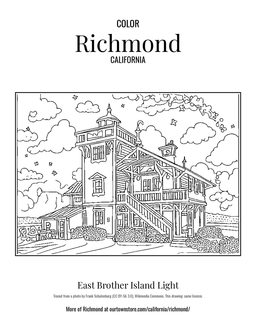
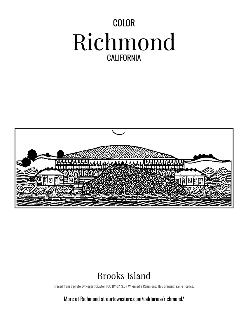
Color Richmond

15 free coloring pages of Richmond, each traced from a photo of a local landmark. Print them at home, at school or for story hour.

Nearby

Neighboring towns

Sources

Richmond's population was 116,448 in the 2020 U.S. Census, up from 6,802 in 1910.