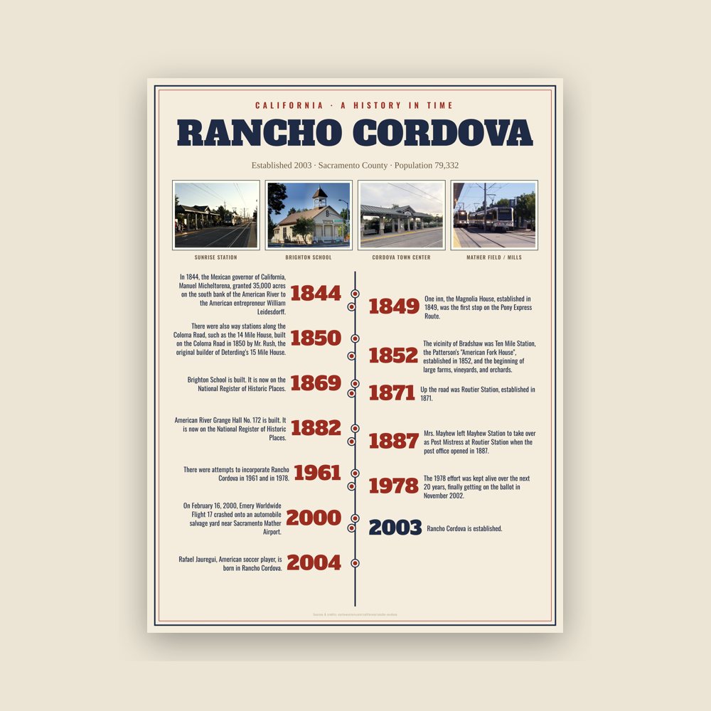
In 1844, the Mexican governor of California, Manuel Micheltorena, granted 35,000 acres on the south bank of the American River to the American entrepreneur William Leidesdorff. He died in 1848 and the property, which he called Rancho Río de los Americanos, passed to his mother, Anne Marie Spark, who later sold it to Captain Joseph Folsom. A portion of the land would become Folsom, California while the Cordova Vineyard, which gave Rancho Cordova its name, was also located within the land grant.
Read the full history
Gold Rush era
In the Gold Rush era of mid-19th-century California, placer mining took place around Rancho Cordova, and some traces of it can still be found. The elevation of the generally level terrain is approximately 118 feet (36 m) above mean sea level. Lone Star Gravel Company and other companies have historically extracted younger gravels at depths of 30 to 40 feet (12 m) without encountering groundwater, which is characteristically found at about 100 feet (30 m). Partially confined groundwater generally flows to the southwest.
As the miners left Sacramento traveling to the foothills in search of gold, way stations grew up along the first dirt trails, and later more formal roads, that took travelers east. Commercial establishments, hotels, or ‘stations’ were developed at one-mile intervals along the route. Many of the stations ultimately also became the US Post Office for their area.
Travelers and miners apparently headed out L Street from Sacramento (the approximate alignment of present-day Folsom Blvd) along a plank, or macadam, road that ended at present day Bradshaw Road. Brighton, also called Five Mile Station, was the site of three inns. One inn, the Magnolia House, established in 1849, was the first stop on the Pony Express Route. The location is today marked by the old Brighton Station building, visible on the south side of Folsom Boulevard where the overpasses for Highway 50 and the light rail are located. One closer stop, at four miles, was known as Hoboken or Norristown, in the vicinity of California State University, Sacramento. The old Perkins building, where the Jackson Highway leaves Folsom Boulevard, and Manlove were both locations for way stations.
The vicinity of Bradshaw was Ten Mile Station, the Patterson's "American Fork House", established in 1852, and the beginning of large farms, vineyards, and orchards. Up the road was Routier Station, established in 1871. Mrs. Mayhew left Mayhew Station to take over as Post Mistress at Routier Station when the post office opened in 1887. Mr. Patterson was Postmaster there for a while also. Joseph Routier was widely renowned for many years for the quality of his produce. In 1866 the railroad built the train station between Folsom Boulevard and the tracks due to the size and dependability of the crop, and the need for a formal packing shed to house the produce waiting for the train.
At eleven miles, the road forked. The Coloma Road went north along the river to Coloma and the northern mines, very close to its present location; the southerly fork headed for White Rock and the Southern Mines. The southerly fork was the White Rock Road, known at that time as the White Rock – Clarksville Immigrant Road. The outcropping of white rock marked the entry into El Dorado County, and Clarksville was the first sizable settlement over the hill. 15 Mile House was built in 1850, and is commemorated with a brick cairn on White Rock Road in front of the CalTrans Emergency Ops building. It was managed by A.M. Plummer until purchased in 1857 by its most famous innkeeper, H.F.W. Deterding. His son Charles ran the hotel until at least 1890, and their hospitality was known far and wide. 15 Mile House was the second official Pony Express remount station. Eleven miles east of that, the third remount station was located at Sportsman Hall at Mormon Island, before the express riders went over the mountains headed for St. Joseph, Missouri. The Mormon Island ruins surface from under Folsom Lake at Dike 8 during low water years.
There were also way stations along the Coloma Road, such as the 14 Mile House, built on the Coloma Road in 1850 by Mr. Rush, the original builder of Deterding's 15 Mile House.
In 1852 early settlement of the Mills area included a two-story inn owned by Louis Lepetit. Four stage lines came through there, and split, with two going southeast to Placerville, and two following the river to Coloma. In the 1880s a fire destroyed the inn, and Mr. Lepetit may have rebuilt across the road on the north side.
A community of vineyards and orchards had grown up between the 1850s and the 1880s. Maps of the area show the familiar names of Studarus, Williamson, Mendon ca, Kelley, Carroll, Shields, Dauenhauer, Lauridson, Kilgore, and Deterding.The list goes on with names that to a small extent, have been preserved as place names. John Studarus was one of the early settlers. In 1911, he built the present day Mills Station which served as a general commercial building, housing a tavern, grocery store, and ballroom. The building also housed the Post Office, where two of his children both ran the Post Office at various times.
The agricultural heritage of Rancho Cordova declined in the 1930s and 1940s. Along with facing droughts in the broader northern California region, state legislature raised property tax rates, setting values at "the highest and best use" as opposed to the actual use of land.
Post World War II
Many young men returning from World War II were looking for places to settle down, find a job, buy a home, and raise their families. Roland Federspiel formed a partnership with Glenn Ahlstrom and a contractor named Jacobsen to build homes on land that had previously been vineyards.
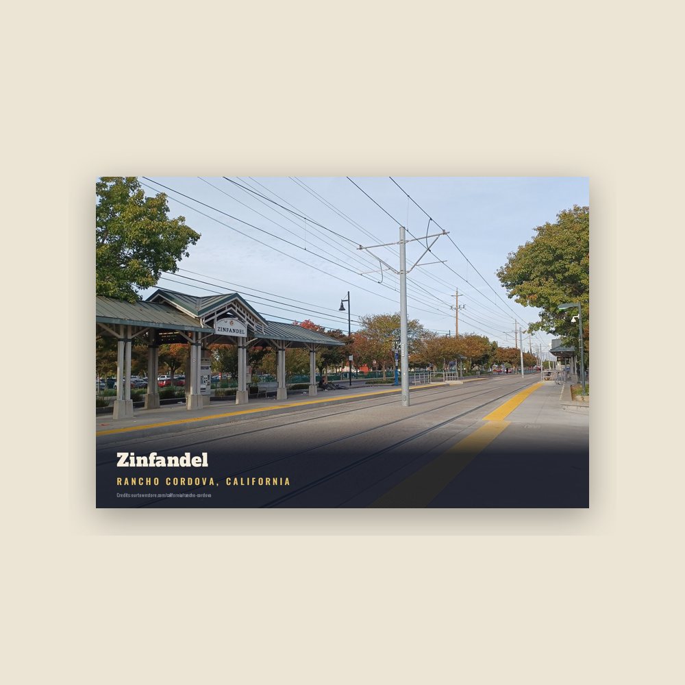
Construction began at the intersection of Folsom Boulevard and Zinfandel Drive. The first three homes on the west side of the street were the model homes. Duplexes on the opposite corners originally housed the sales office and post office, then the first office of Rancho Cordova Grapevine-Independent.
Federspiel had chosen the name Cordova Vineyards with a nod to the Córdoba region of Spain, and wanted to preserve the Cordova name. Glenn Ahlstrom drove down to San Francisco in his old woodie station wagon and physically brought back the first ‘post box’. The US Postal Service agreed to let them use the name Rancho Cordova as it was just the right size to fit around the circle of the old postal franking stamp. They named the streets for wine grapes. In recognition of that heritage, Elliott Homes named all of the streets in the Villages of Zinfandel at Stonecreek for wineries around the world when they began to build at the south end of Zinfandel in 2000.
The community grew, and Folsom Boulevard began to fill in with commercial enterprise. Early structures included the Cordova Village Shopping Center and George E. Johnson's Cordova Inn.
On February 16, 2000, Emery Worldwide Flight 17 crashed onto an automobile salvage yard near Sacramento Mather Airport. All three crew members were killed.
There were attempts to incorporate Rancho Cordova in 1961 and in 1978. The 1978 effort was kept alive over the next 20 years, finally getting on the ballot in November 2002. It passed 77% of voters in support. Rancho Cordova officially became a city on July 1, 2003.
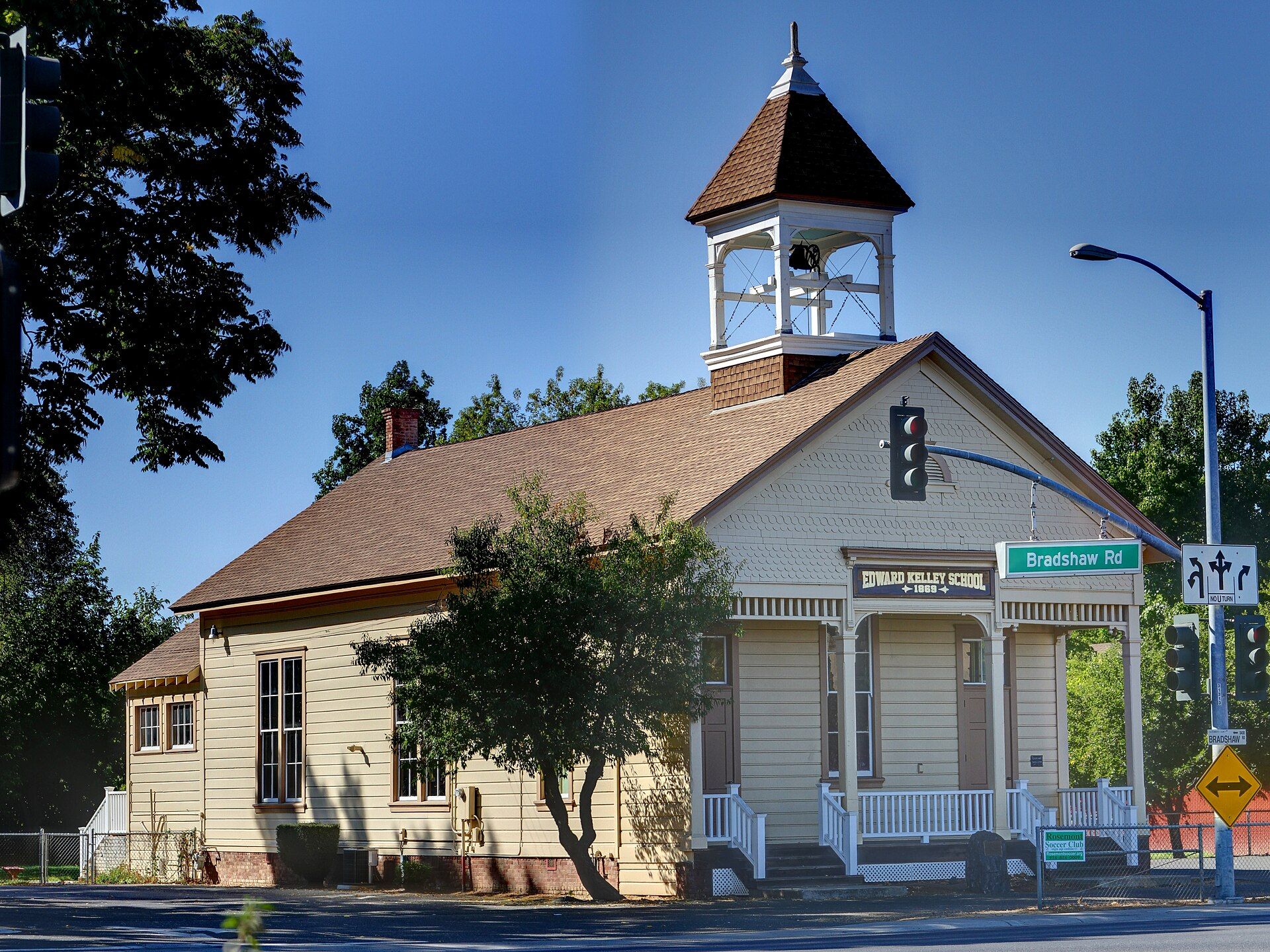
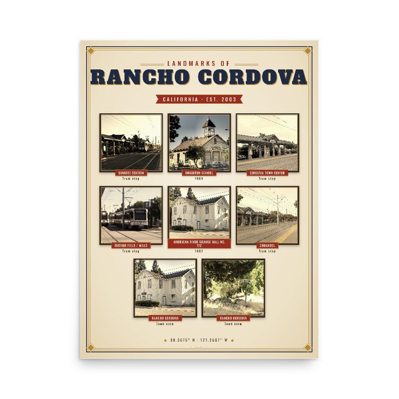
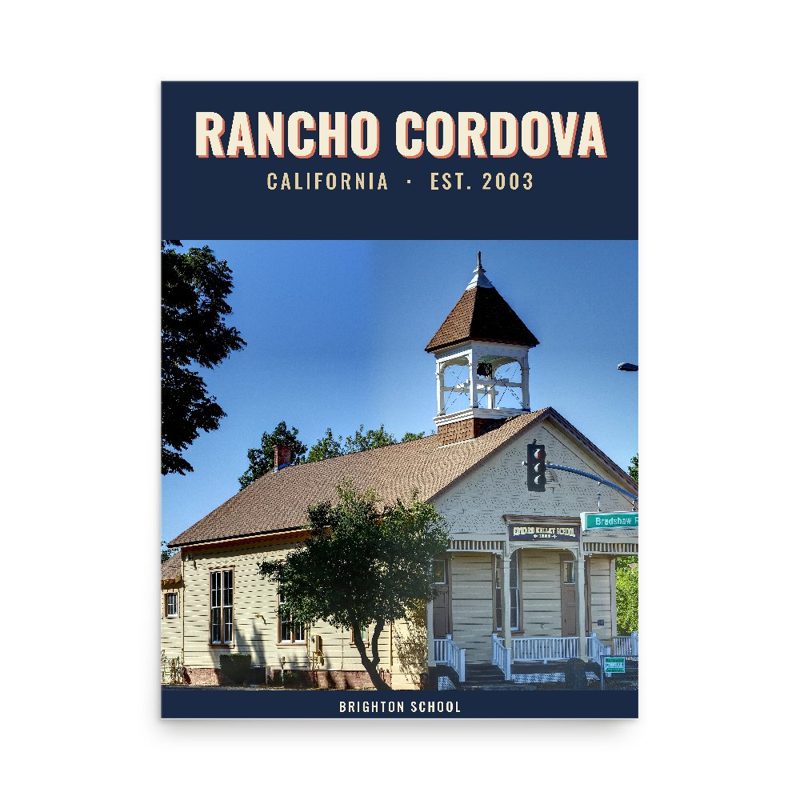
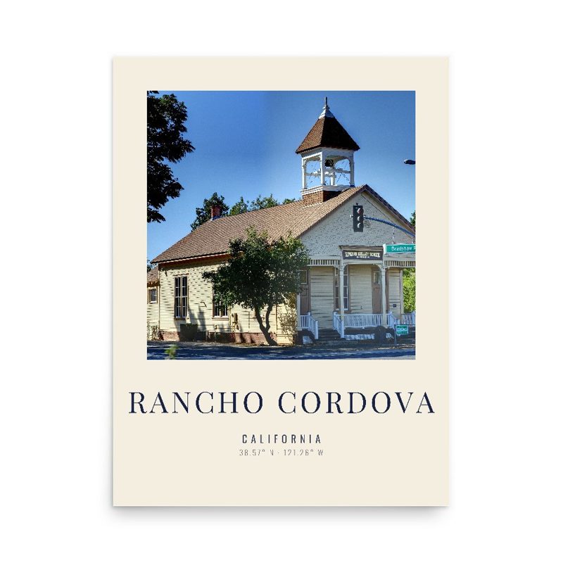
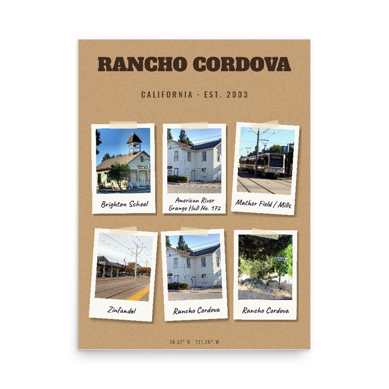
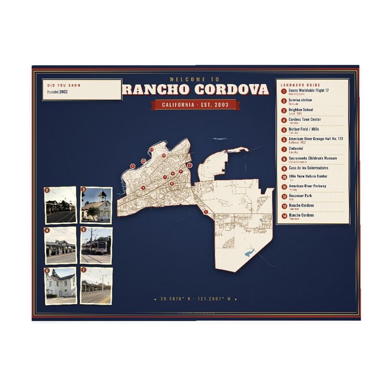
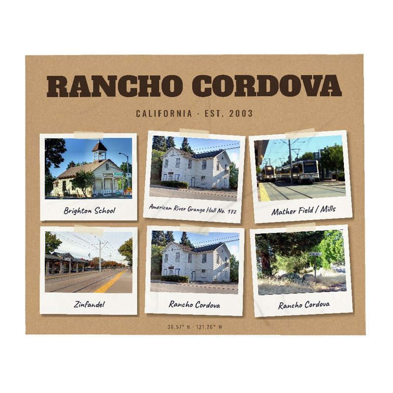
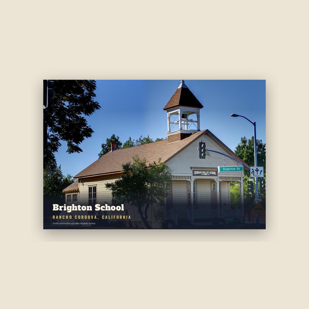
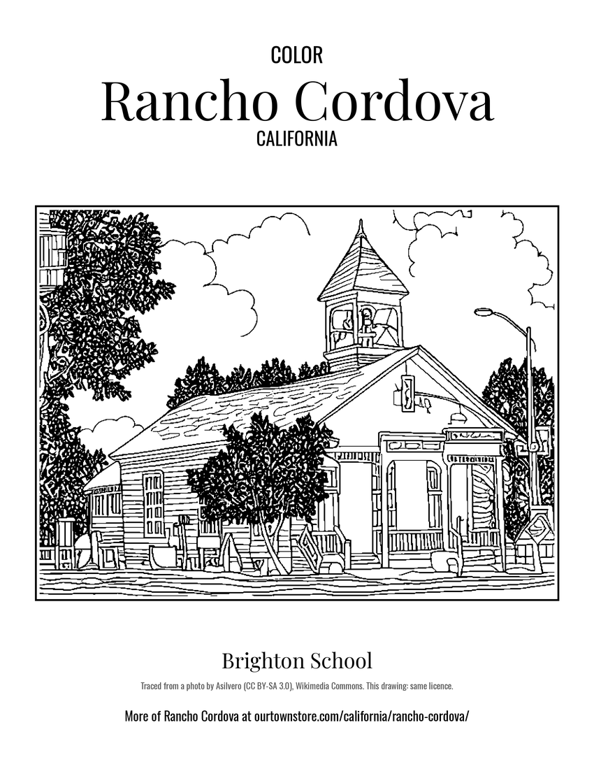 Brighton School
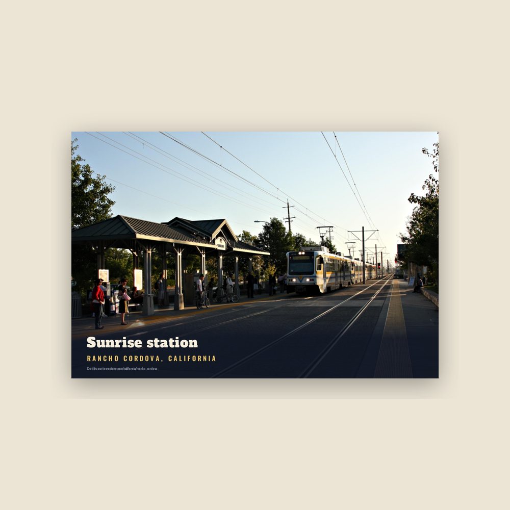
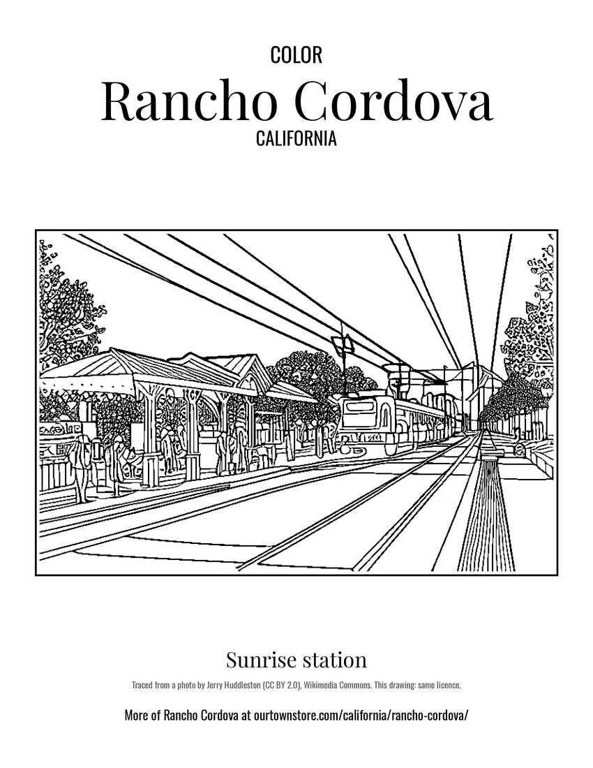 Sunrise station
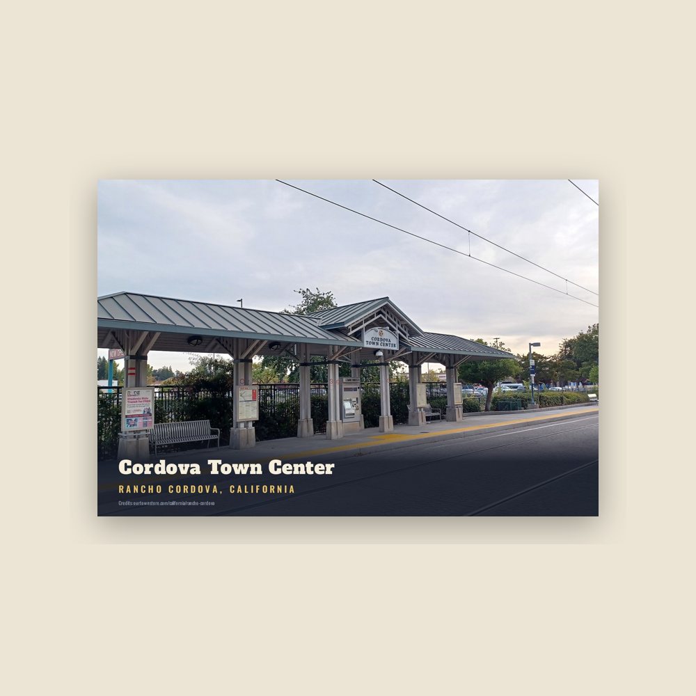
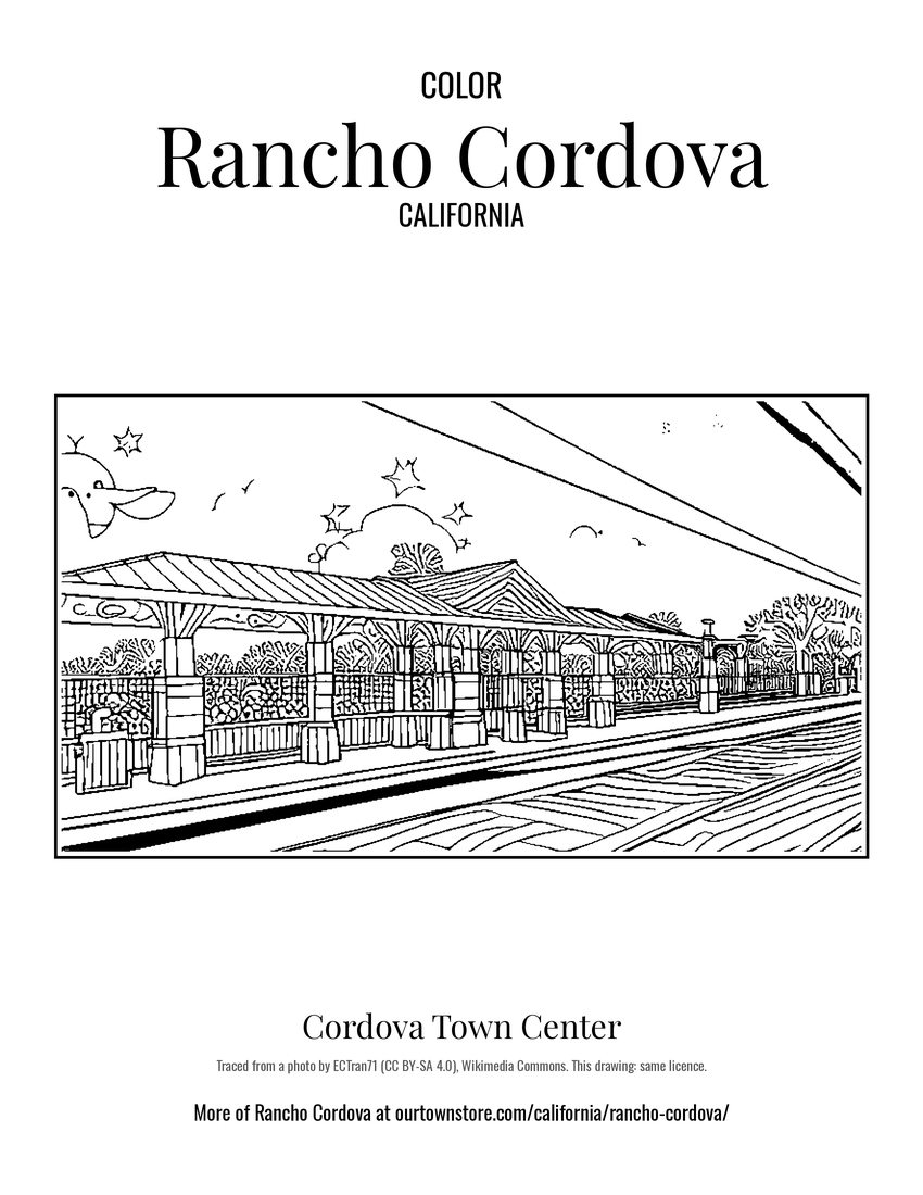 Cordova Town Center
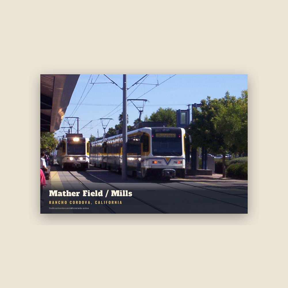
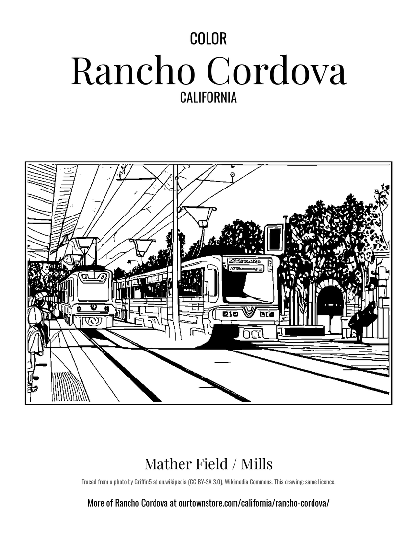 Mather Field / Mills