Contra Costa County, California
Street maps, historic prints and keepsakes for 22 Contra Costa County towns.
The oldest is Walnut Creek, established 1914. The largest by population is Concord (125,410).
| Town | Established | Population |
|---|---|---|
| Antioch | – | 115,291 |
| Brentwood | – | 64,292 |
| Byron | – | 1,140 |
| Clayton | 1964 | 11,070 |
| Concord | – | 125,410 |
| Crockett | – | 3,242 |
| Danville | – | 43,582 |
| Discovery Bay | – | 15,358 |
| El Cerrito | – | 25,962 |
| Hercules | – | 26,016 |
| Lafayette | – | 25,391 |
| Martinez | – | 37,287 |
| Moraga | – | 16,870 |
| Oakley | 1999 | 43,357 |
| Orinda | – | 19,514 |
| Pinole | – | 19,022 |
| Pittsburg | – | 76,416 |
| Pleasant Hill | 1961 | 34,613 |
| Richmond | – | 116,448 |
| San Pablo | – | 32,127 |
| San Ramon | – | 84,605 |
| Walnut Creek | 1914 | 70,127 |
About these towns
Antioch: In 1848, John Marsh, owner of Rancho Los Méganos, one of the largest ranches in California, built a landing on the San Joaquin River in what is now Antioch.
Brentwood: Brentwood was originally laid out on land donated from property owned by John Marsh, an East Contra Costa County pioneer who acquired Rancho Los Méganos, the land grant that Brentwood is built upon, in 1837 from Jose Noriega.
Byron: Byron's location was part of a land grant that Jose Noriega received from the King of Spain in 1835. Noriega then sold 17,000 acres to John Marsh for the equivalent of $500 (three U.S. cents per acre).
Clayton: In 1857, the town of Clayton was laid out and founded by Joel Henry Clayton (1812–1872) and his two younger brothers. Clayton was born in Bugsworth, now Buxworth, in the United Kingdom, and emigrated to the United States in 1837.
Concord: The valleys north of Mount Diablo were inhabited by the Miwok people, who hunted elk and fished in the numerous streams flowing from the mountain into the San Francisco Bay.
Crockett: Crockett is located on the Mexican land grant Rancho El Pinole made to Ygnacio Martinez, and is named after Joseph B. Crockett, a judge on the California Supreme Court.
Danville: Often referred to as the "Heart of the San Ramon Valley", Danville was first populated by Native Americans who lived near creeks and camped on Mount Diablo in the summer.
Discovery Bay: Discovery Bay began as a planned community in 1964, and originally designated as "Riverside" and "River Lake." It was built on land known as the Byron Tract, which was previously used for growing barley and potatoes.
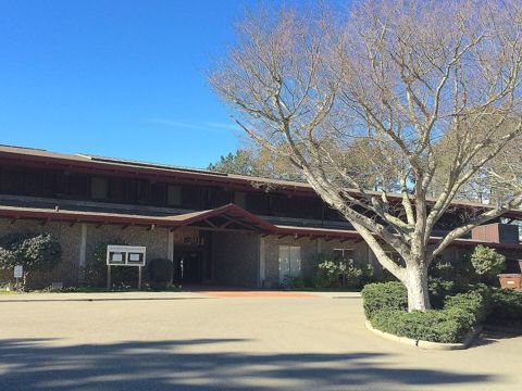
El Cerrito: El Cerrito was founded by refugees from the 1906 San Francisco earthquake. They settled in what was then Don Víctor Castro's Rancho San Pablo, adjacent to the ranch owned by the family of Luís María Peralta, the Rancho San Antonio.
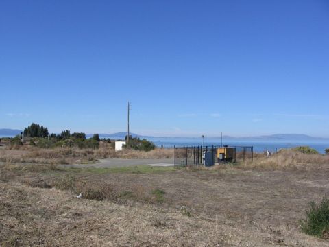
Hercules: Contra Costa County’s first inhabitants arrived in the area six to ten thousand years ago, including the Bay Miwok people and the Huichin Ohlone People; however there were no known significant settlements in the Hercules area.
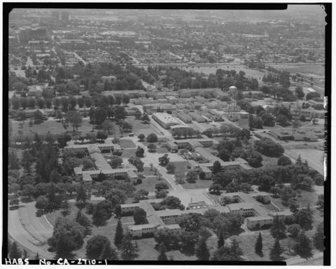
Lafayette: Before the colonization of the region by Spain, Lafayette and its vicinity were inhabited by the Saclan tribe of the indigenous Bay Miwok.
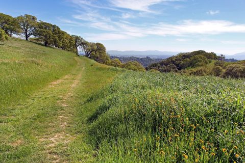
Martinez: In 1824, the western side of Martinez, Alhambra Valley was included in the Rancho El Pinole Mexican land grant to Ygnacio Martínez.
Moraga: Joaquin Moraga was the grandson of José Joaquín Moraga, builder of the Presidio of San Francisco and founder of the pueblo that grew into the city of San Jose.
Oakley: Archeologists have found prehistoric sites in the Oakley area. One substantial shell mound was discovered early in the 20th century near what is now the eastern edge of town.
Orinda: Orinda is located within four Mexican land grants: Rancho Laguna de los Palos Colorados, Rancho Acalanes, Rancho El Sobrante and Rancho Boca de la Cañada del Pinole.
Pinole: The Huchiun tribe lived in the region. In 1823, Ygnacio Martínez, commandant of the Presidio of San Francisco, received a land grant of Rancho El Pinole from the Mexican government.
Pittsburg: Originally settled in 1839 as Rancho Los Méganos, the area of almost 10,000 acres was issued to Californios Jose Antonio Mesa and his brother Jose Miguel under a Mexican Land Grant by then Governor Juan Bautista Alvarado, one of the final land grants issued prior to the formation of California as a state.
Pleasant Hill: Before colonization the area was inhabited by members of the Bay Miwok people. The San Ramon Valley Branch Line of the Southern Pacific entered service in 1891 with two flag stops in the area that would become the City of Pleasant Hill: Hookston, located today where the Iron Horse Regional Trail crosses Hookston Road, and Sparkle, where the Southern Pacific…
Richmond: The site that would eventually become the city of Richmond was part of the Rancho San Pablo land granted to Don Francisco María Castro, from which the nearby town of San Pablo inherited its name; the Point Richmond area was known originally as The Potrero and then renamed as Point Stevens in early charts of San Francisco Bay.
San Pablo: The city of San Pablo is on land once occupied by the Cuchiyun band of the Ohlone indigenous people. This Ohlone territory was claimed for the king of Spain in the late 18th century, and was granted for grazing purposes to the Mission Dolores located in today's San Francisco, but these church properties were secularized when Mexico became independent from…
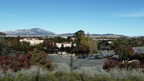
San Ramon: The land occupied by the City of San Ramon was once inhabited by Seunen people, an Ohlone/Costanoan group who built their homes near creeks.
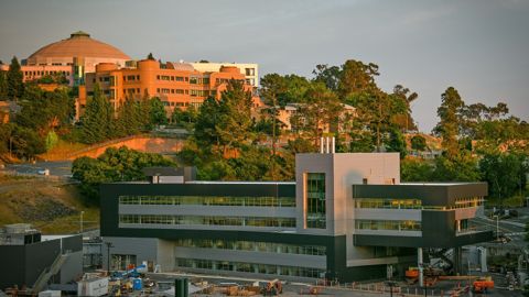
Walnut Creek: There are three bands of Bay Miwok Native Americans associated with the area of Walnut Creek (the stream for which the city is named): the Saclan, whose territory extended through the hills east of present-day cities of Oakland, Rossmoor, Lafayette, Moraga and Walnut Creek; the Volvon (also spelled Bolbon, Wolwon or Zuicun), who were near Mt.
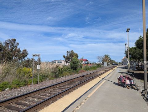 AntiochCalifornia
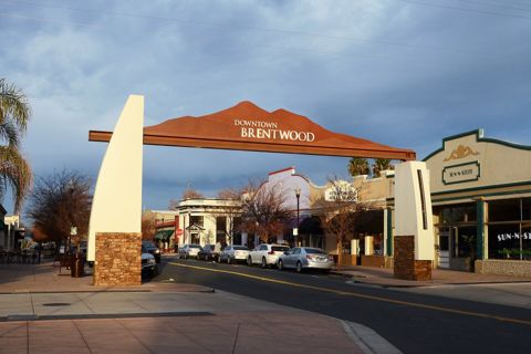 BrentwoodCalifornia
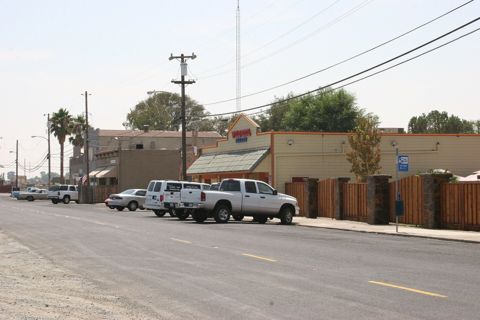 ByronCalifornia
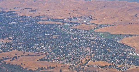 ClaytonCalifornia · Est. 1964
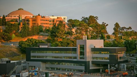 ConcordCalifornia
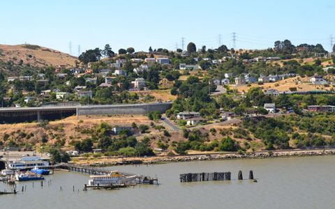 CrockettCalifornia
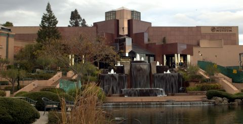 DanvilleCalifornia
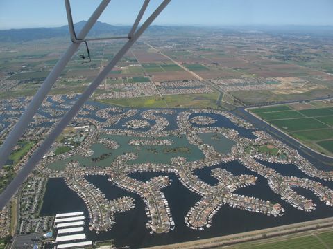 Discovery BayCalifornia
 El CerritoCalifornia
 HerculesCalifornia
 LafayetteCalifornia
 MartinezCalifornia
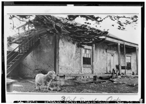 MoragaCalifornia
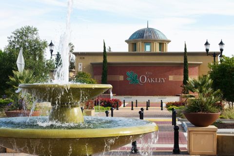 OakleyCalifornia · Est. 1999
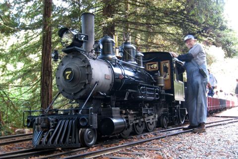 OrindaCalifornia
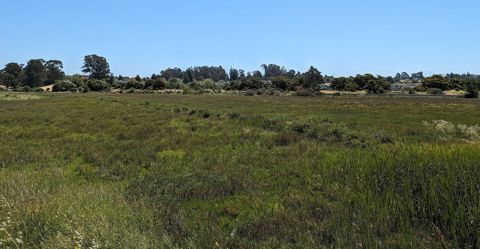 PinoleCalifornia
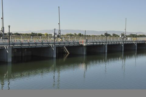 PittsburgCalifornia
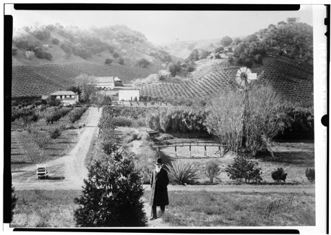 Pleasant HillCalifornia · Est. 1961
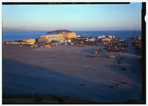 RichmondCalifornia
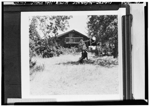 San PabloCalifornia
 San RamonCalifornia
 Walnut CreekCalifornia · Est. 1914
Founding years, populations and town notes come from each town's Wikipedia and Wikidata entries. All California towns.