Arvin is located 15 miles southeast of Bakersfield, at an elevation of 449 feet. Landmarks include California State Route 223 and Brown & Bryant, Inc..
- CountyKern County
- Population19,495 (2020 U.S. Census)
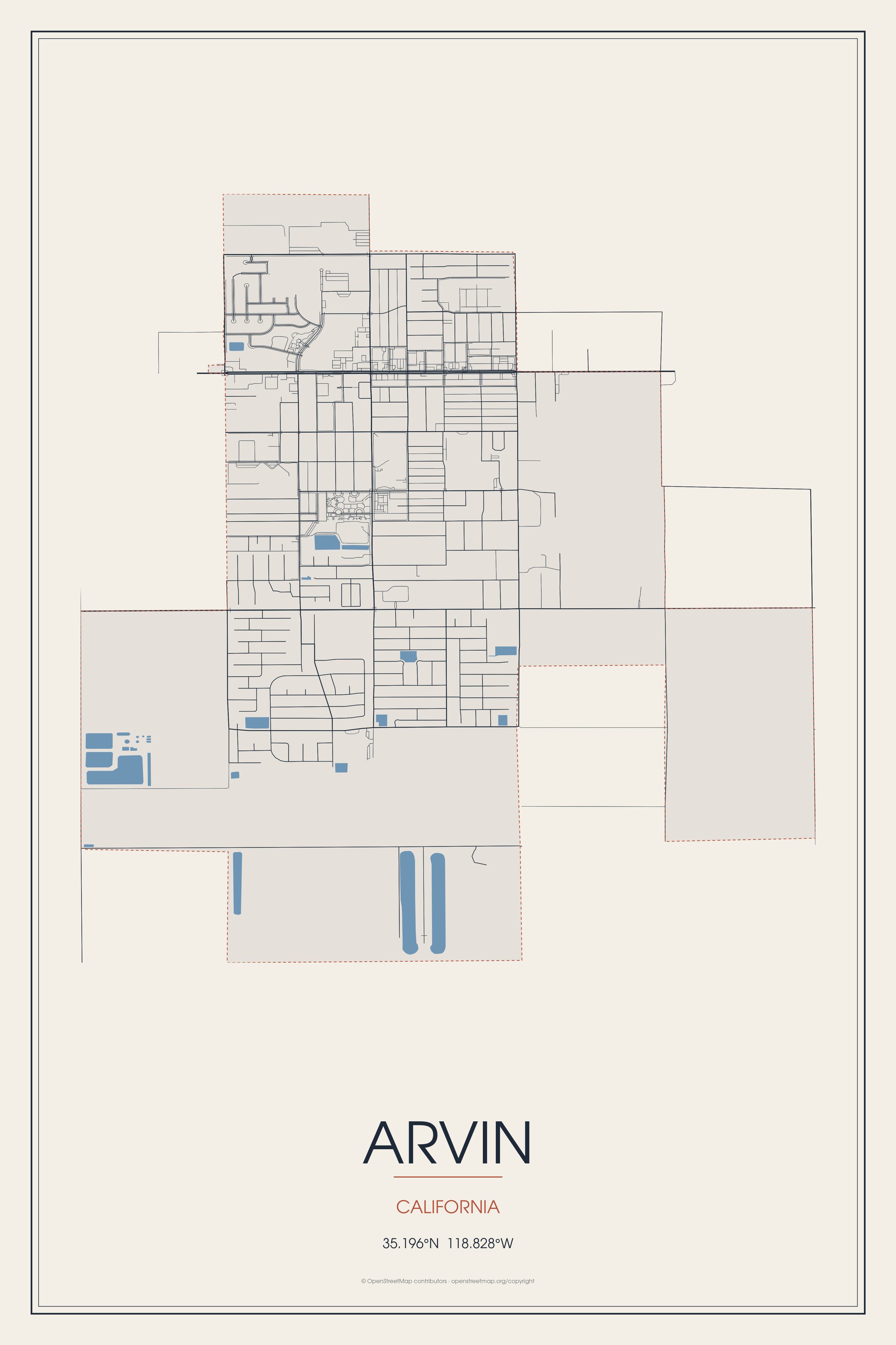
Arvin is located 15 miles southeast of Bakersfield, at an elevation of 449 feet. Landmarks include California State Route 223 and Brown & Bryant, Inc..
Arvin, California gifts and souvenirs: 18 designs made from Arvin's own map, landmarks and history, from $16 to $95. Printed to order and shipped free in the USA.
| Popular | Price |
|---|---|
| Arvin Hometown Ornament | $23 |
| Arvin Varsity Crewneck | from $57 |
| Arvin Est. Tee | from $33 |
| Arvin Town Line Mug | from $26 |
| Arvin Market Tote | $37 |
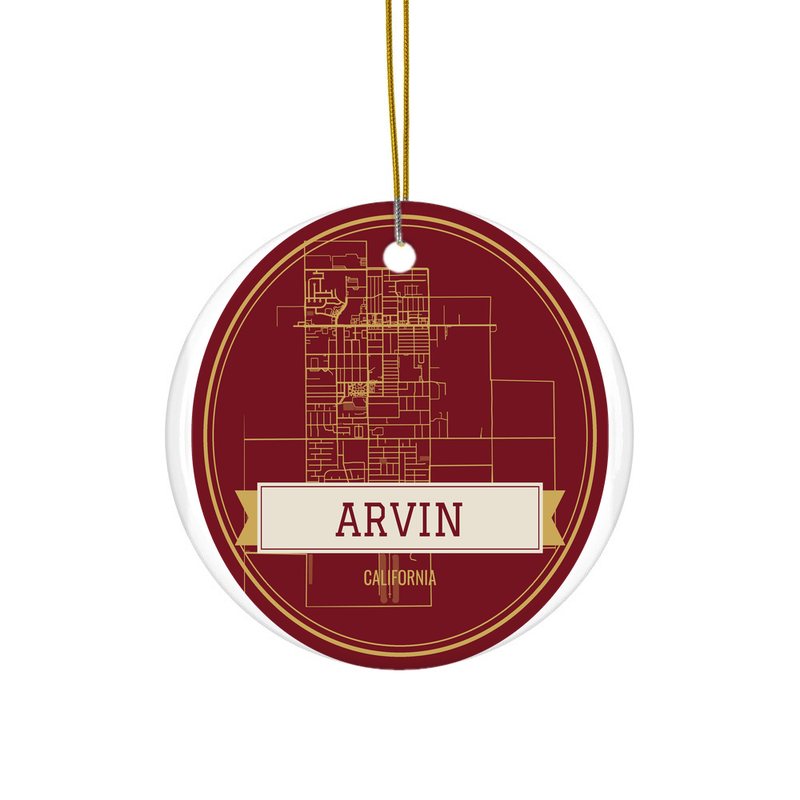
Ceramic keepsake, gold ribbon, in 3 styles
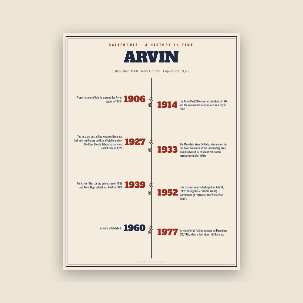
The town's story in dates, from its own records, for home or classroom
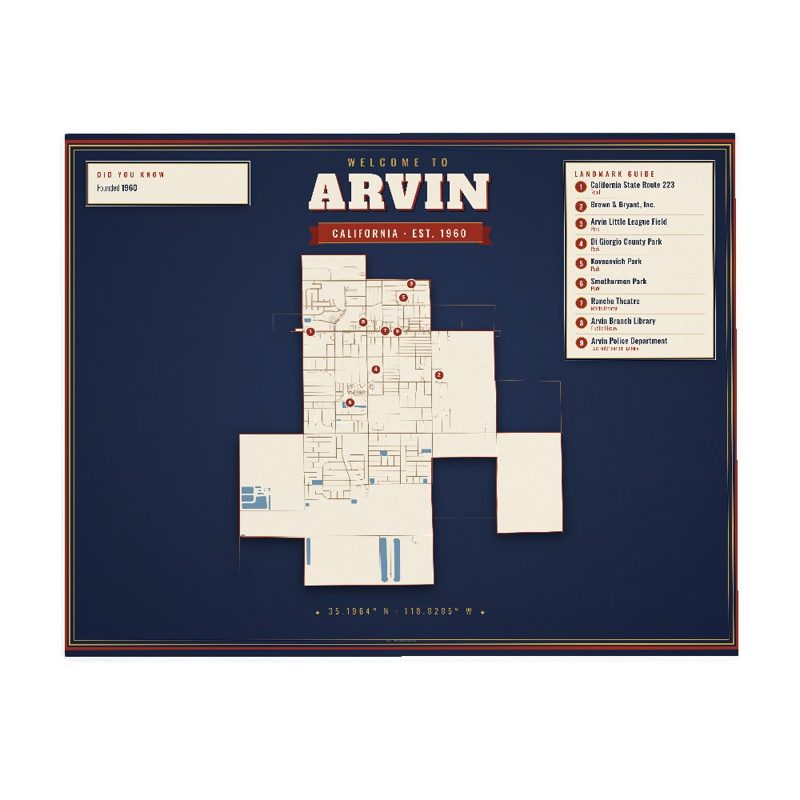
Map of local landmarks, washable fabric

Heavy-blend fleece, street map printed on the back
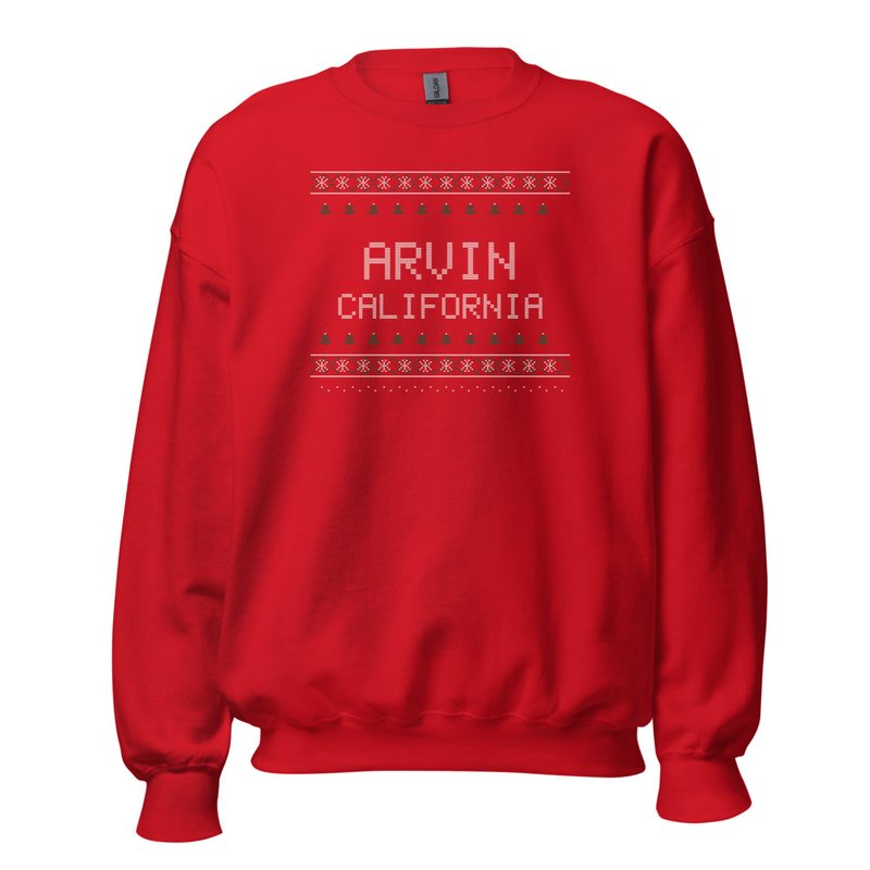
Red heavy-blend crewneck, knit-stitch town print
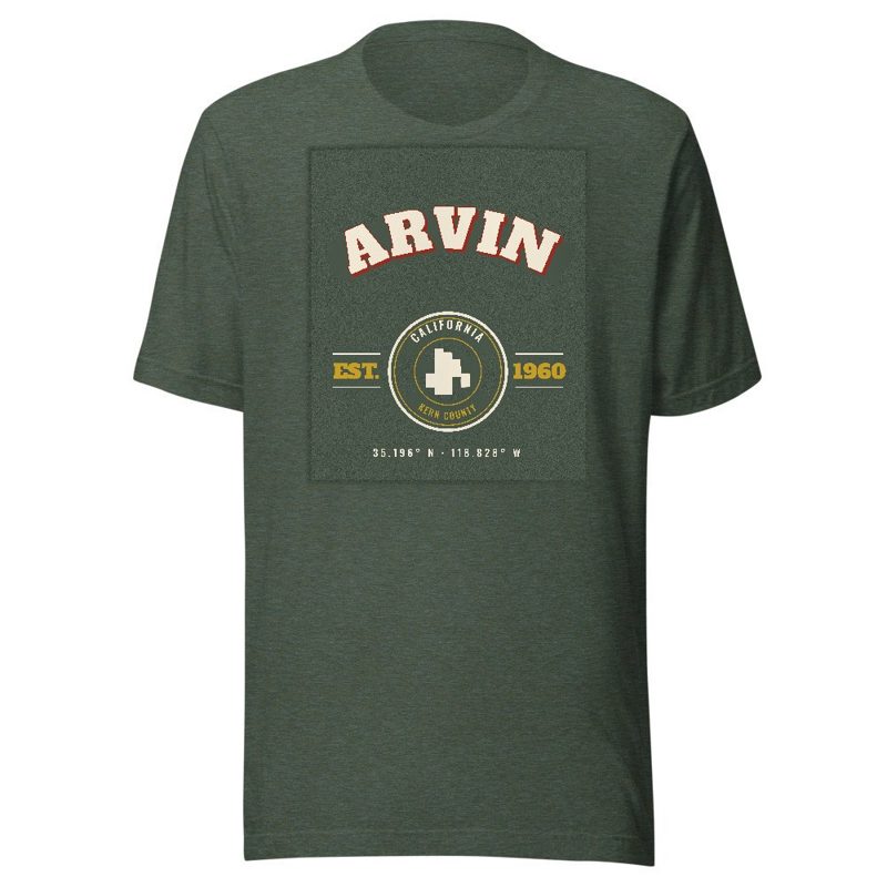
Soft Bella+Canvas jersey

Kids' Bella+Canvas jersey, youth sizes
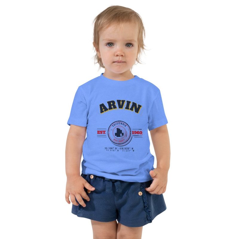
Bella+Canvas toddler jersey

Bella+Canvas baby bodysuit

Glossy ceramic, dishwasher safe
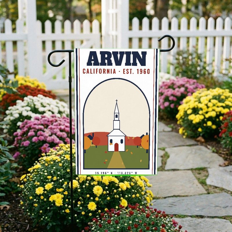
Weatherproof, for the front walk
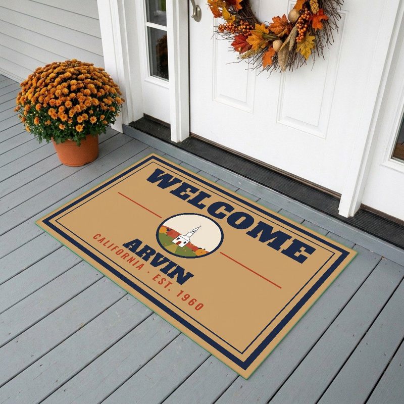
24″×16″, printed coir-look fibers, rubber back

12″×12″ printed wood, ready to hang
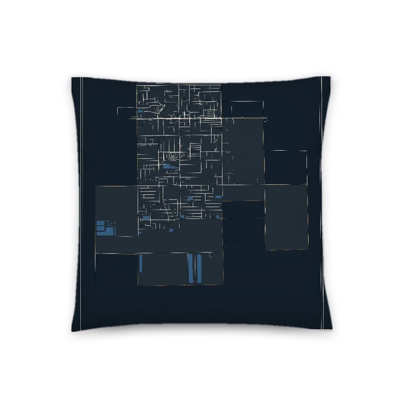
Soft-touch, zip cover
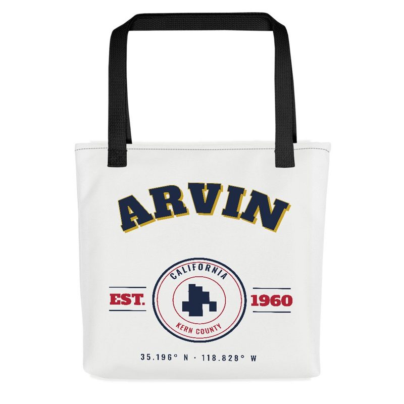
Sturdy all-over-print tote
Glossy top, cork back
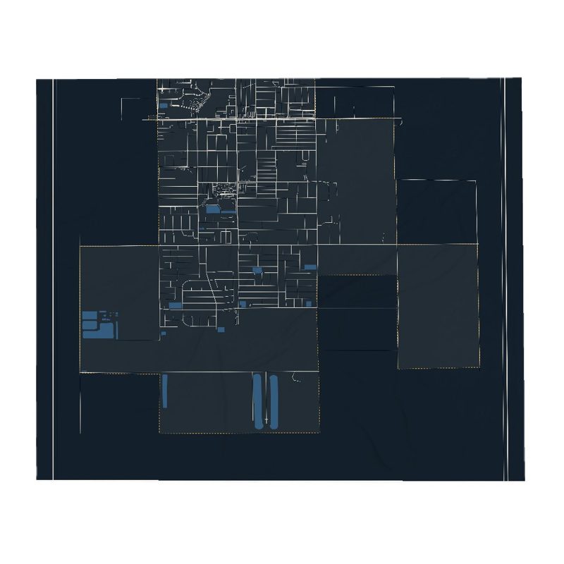
Soft fleece, 50″×60″

20 oz, double-wall stainless
Property sales of lots in present-day Arvin began in 1906. The Arvin Post Office was established in 1914 and the community incorporated as a city in 1960. The city was named after Arvin Richardson, who was the son of one of the original settling families from San Bernardino. Birdie Heard petitioned for the addition of the post office in 1914 and submitted proposed names, including Bear Mountain, Walnut, and Arvin. Officials in Washington, D.C., chose Arvin as it was the only proposed name which was not already in use in California. Birdie was the city's first postmaster. She initially set up the post office in her living room, but it was later moved to the general store owned by the Staples family. The in-store post office was also the area's first informal library until an official branch of the Kern County Library system was established in 1927.
The Mountain View Oil Field, which underlies the town and much of the surrounding area, was discovered in 1933 and developed extensively in the 1930s. Many oil wells still surround the town; some are slant-drilled to reach formations directly underneath inhabited areas.
In the 1930s and 1940s the area east of Arvin became popular for recreational gliding and soaring, and the hillsides of the Tejon Ranch were used annually for a Western Soaring Championship in the spring. These significant events were later memorialized as a National Landmark of Soaring by the National Soaring Museum in 2000.
The Arvin Tiller started publication in 1939 and Arvin High School was built in 1949. The city was nearly destroyed on July 21, 1952, during the M7.3 Kern County earthquake (a rupture of the White Wolf Fault). Arvin suffered further damage on December 20, 1977, when a dust storm hit the area.
The Arvin Migratory Labor Camp was the first federally operated farm labor camp opened by the Farm Security Administration in 1937, one of many New Deal programs created during the presidency of Franklin D. Roosevelt to respond to the Great Depression. This agricultural camp was considered a model, and was built by the Resettlement Administration.
Adapted (trimmed) from the Wikipedia article Arvin, California, revision 1378489188 by its contributors, licensed CC BY-SA 4.0.
We share a part of every Arvin sale with local partners, and we'd love to print from your collection. Old photographs, maps and postcards make the best keepsakes.
Partner with usA favorite landmark, your street, a school or team, an anniversary gift, a different product. Tell us and we'll get back to you by email.
Arvin's population was 19,495 in the 2020 U.S. Census, up from 19,304 in 2010.