Roe began as a railroad depot around 1880 on the Cotton Belt (officially the St. Louis Southwestern Railway).
- CountyMonroe County
- Population68 (2020 U.S. Census)
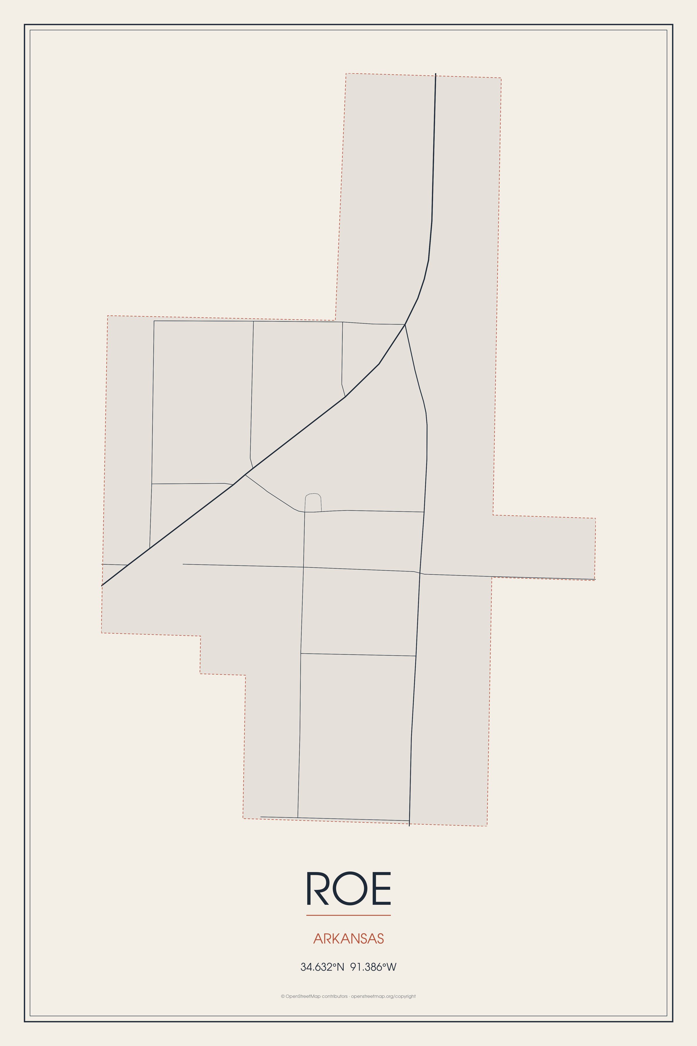
Roe began as a railroad depot around 1880 on the Cotton Belt (officially the St. Louis Southwestern Railway).
Roe, Arkansas gifts and souvenirs: 16 designs made from Roe's own map, landmarks and history, from $16 to $95. Printed to order and shipped free in the USA.
| Popular | Price |
|---|---|
| Roe Hometown Ornament | $23 |
| Roe Varsity Crewneck | from $57 |
| Roe Est. Tee | from $33 |
| Roe Town Line Mug | from $26 |
| Roe Market Tote | $37 |
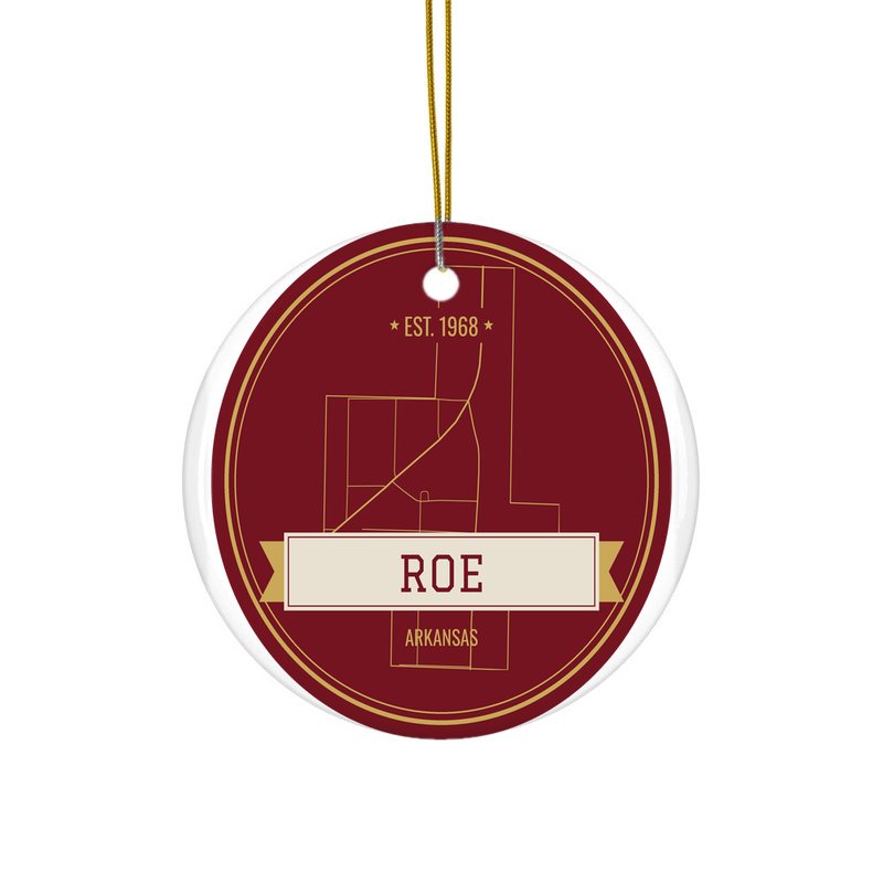
Ceramic keepsake, gold ribbon
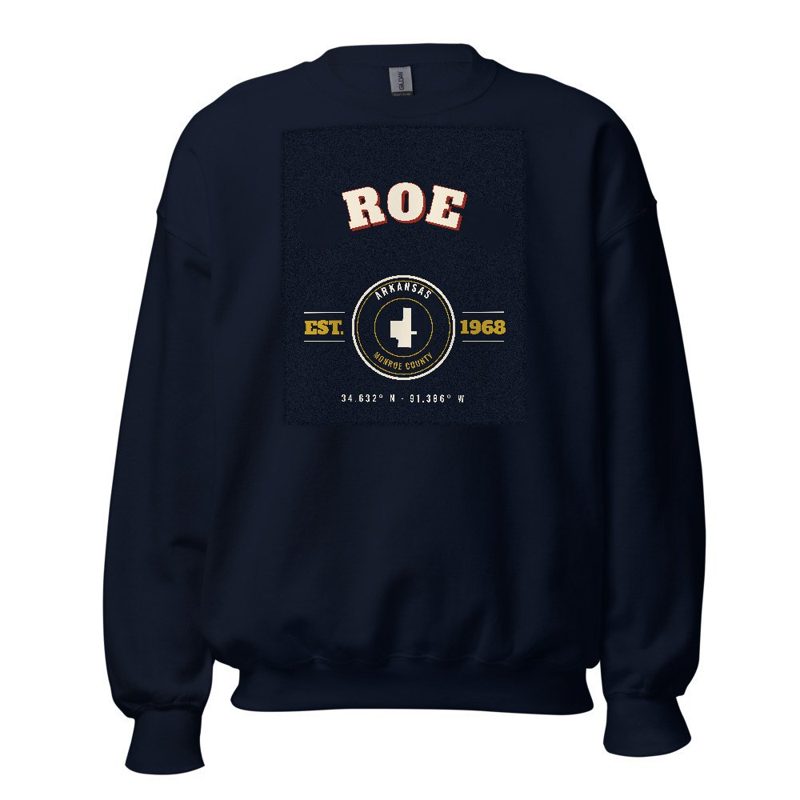
Heavy-blend fleece, street map printed on the back
Red heavy-blend crewneck, knit-stitch town print
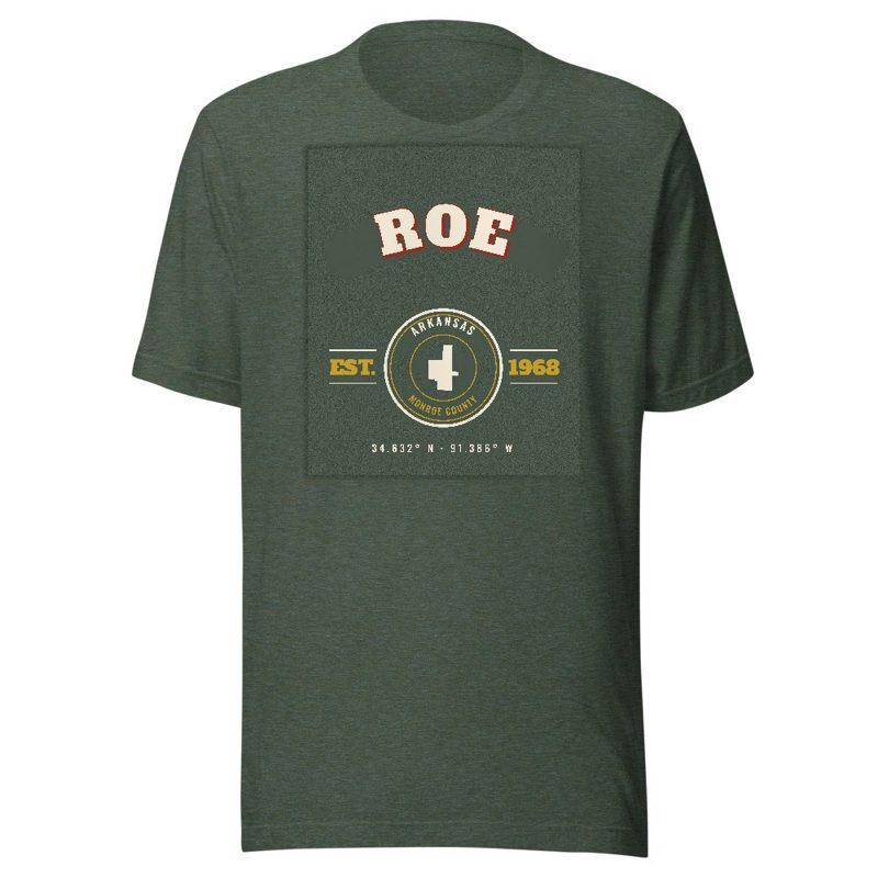
Soft Bella+Canvas jersey
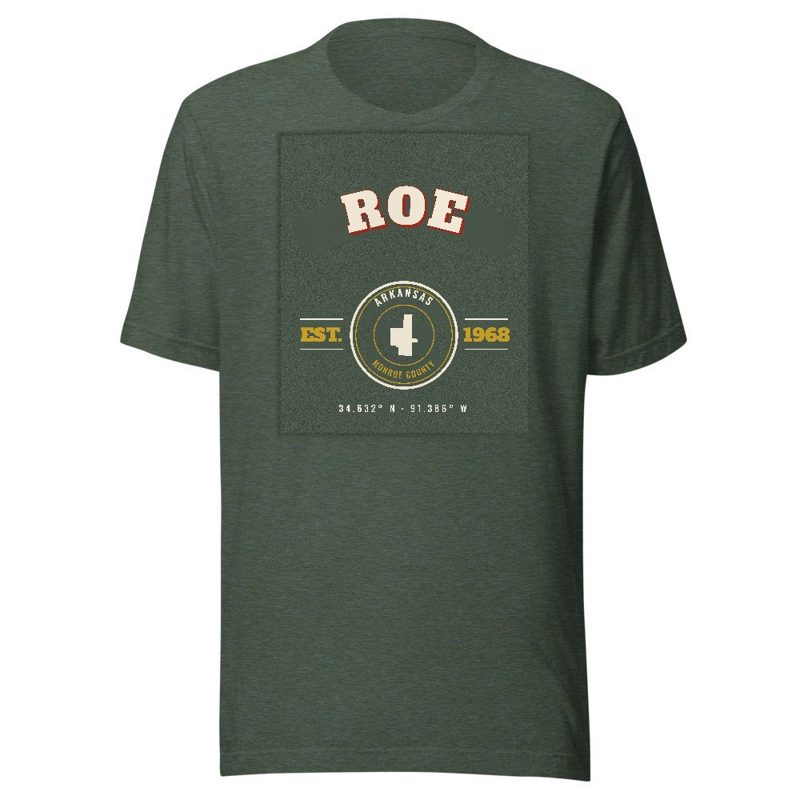
Kids' Bella+Canvas jersey, youth sizes
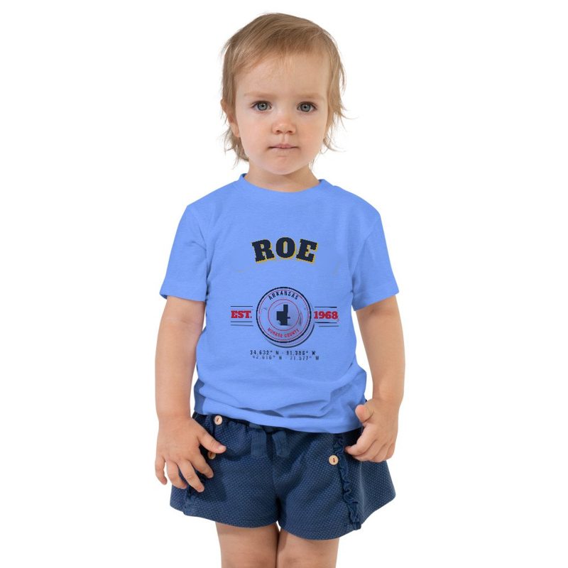
Bella+Canvas toddler jersey

Bella+Canvas baby bodysuit
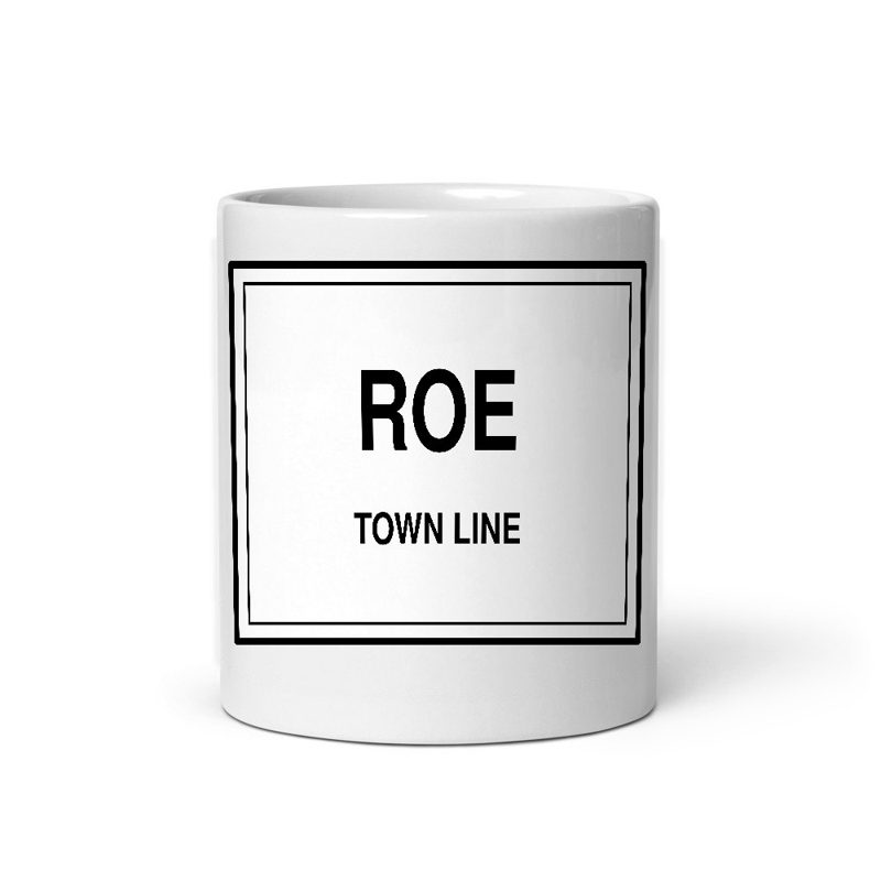
Glossy ceramic, dishwasher safe
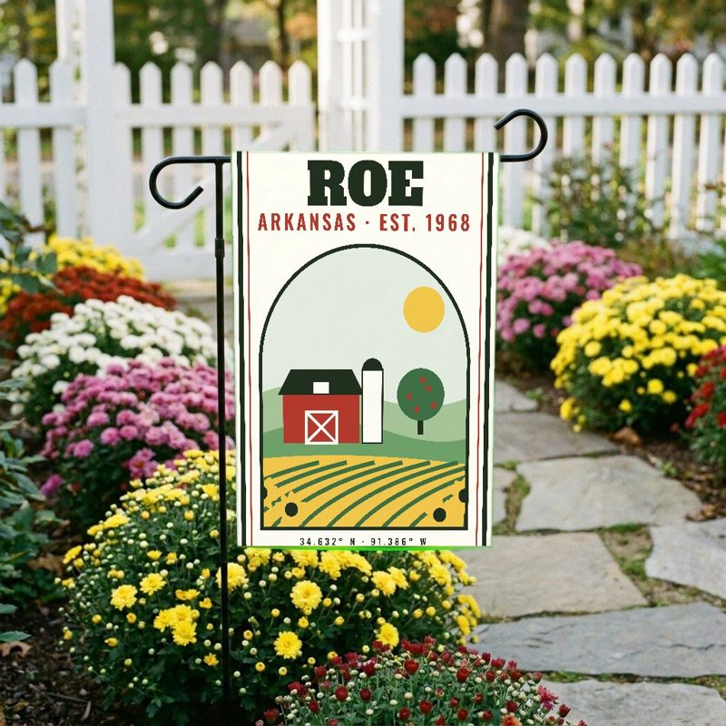
Weatherproof, for the front walk
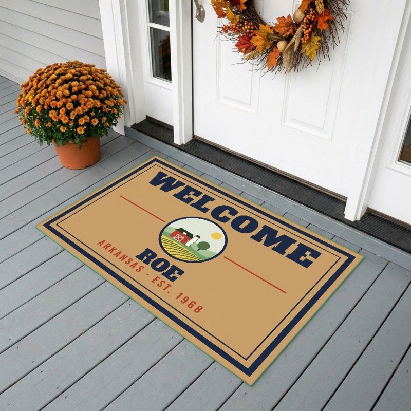
24″×16″, printed coir-look fibers, rubber back

12″×12″ printed wood, ready to hang
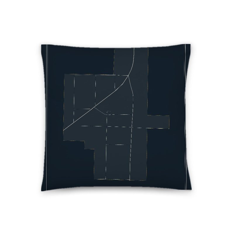
Soft-touch, zip cover
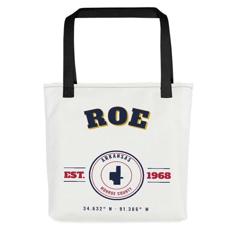
Sturdy all-over-print tote
Glossy top, cork back
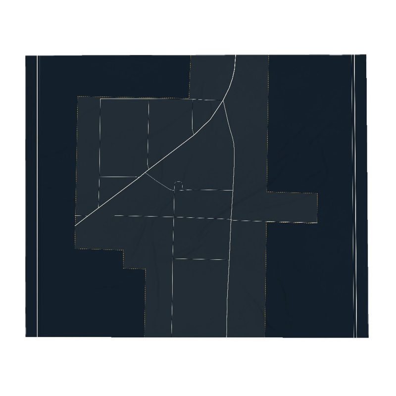
Soft fleece, 50″×60″

20 oz, double-wall stainless
Roe began as a railroad depot around 1880 on the Cotton Belt (officially the St. Louis Southwestern Railway). Originally located in Prairie County, a boundary adjustment in 1883 placed it in Monroe County. The small community saw new growth when U.S. Route 79 was constructed through the town in 1935. Roe was incorporated as a town in 1968.
Adapted (trimmed) from the Wikipedia article Roe, Arkansas, revision 1378585315 by its contributors, licensed CC BY-SA 4.0.
We share a part of every Roe sale with local partners, and we'd love to print from your collection. Old photographs, maps and postcards make the best keepsakes.
Partner with usA favorite landmark, your street, a school or team, an anniversary gift, a different product. Tell us and we'll get back to you by email.
Roe's population was 68 in the 2020 U.S. Census, down from 124 in 2000.