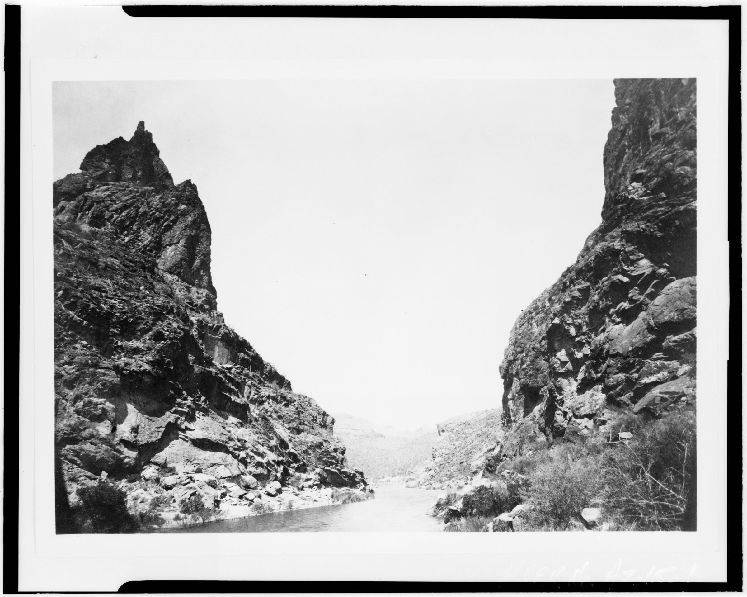
The Hohokam people occupied the Phoenix area for 2,000 years. They created roughly 135 miles (217 kilometers) of irrigation canals, making the desert land arable, and paths of these canals were used for the Arizona Canal, Central Arizona Project Canal, and the Hayden-Rhodes Aqueduct. They also carried out extensive trade with the nearby Ancestral Puebloans, Mogollon, and Sinagua, as well as with the more distant Mesoamerican civilizations. It is believed periods of drought and severe floods between 1300 and 1450 led to the Hohokam civilization's abandonment of the area.
After the departure of the Hohokam, groups of Akimel O'odham (commonly known as Pima), Tohono O'odham, and Maricopa tribes began to use the area, as well as segments of the Yavapai and Apache. The O'odham were offshoots of the Sobaipuri tribe, who in turn were thought to be the descendants of the Hohokam.
The Akimel O'odham were the major group in the area. They lived in small villages with well-defined irrigation systems that spread over the Gila River Valley, from Florence in the east to the Estrellas in the west. Their crops included corn, beans, and squash for food as well as cotton and tobacco. They banded with the Maricopa for protection against incursions by the Yuma and Apache tribes. The Maricopa are part of the larger Yuma people; however, they migrated east from the lower Colorado and Gila Rivers in the early 1800s, when they began to be enemies with other Yuma tribes, settling among the existing communities of the Akimel O'odham.
The Tohono O'odham also lived in the region, but largely to the south and all the way to the Mexican border. The O'odham lived in small settlements as seasonal farmers who took advantage of the rains, rather than the large-scale irrigation of the Akimel. They grew crops such as sweet corn, tapary beans, squash, lentils, sugar cane, and melons, as well as taking advantage of native plants such as saguaro fruits, cholla buds, mesquite tree beans, and mesquite candy (sap from the mesquite tree). They also hunted local game such as deer, rabbit, and javelina for meat.
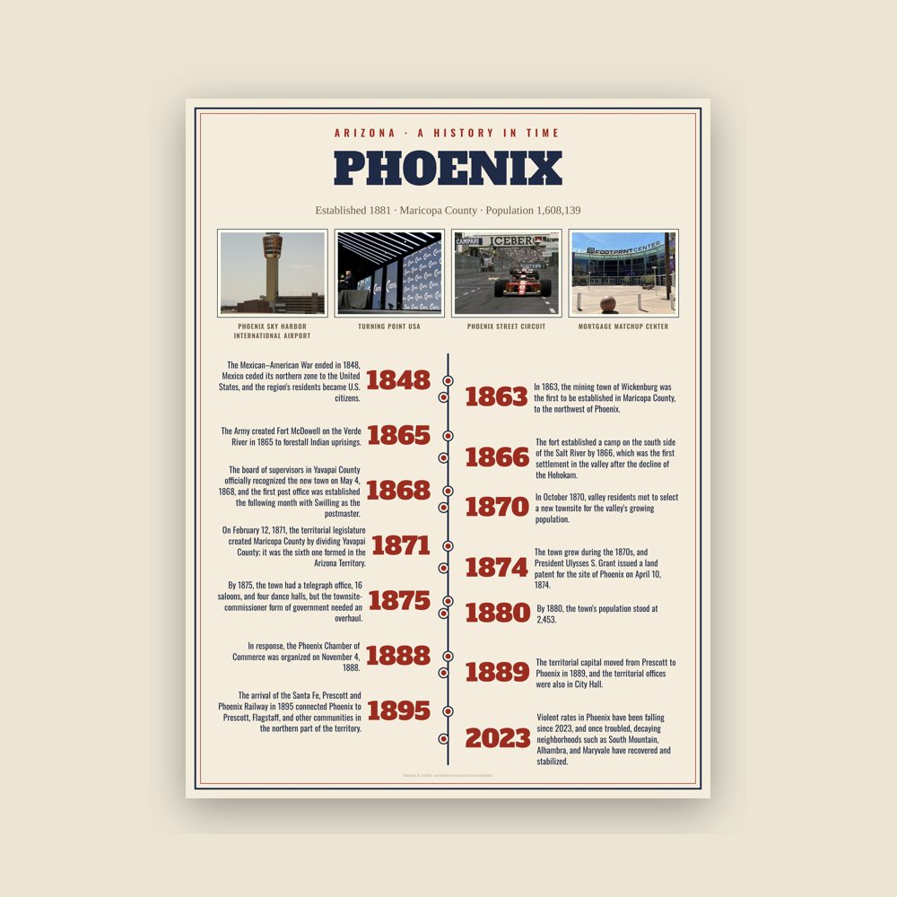
The Mexican–American War ended in 1848, Mexico ceded its northern zone to the United States, and the region's residents became U.S. citizens. The Phoenix area became part of the New Mexico Territory. In 1863, the mining town of Wickenburg was the first to be established in Maricopa County, to the northwest of Phoenix. Maricopa County had not been incorporated; the land was within Yavapai County, which included the major town of Prescott to the north of Wickenburg.
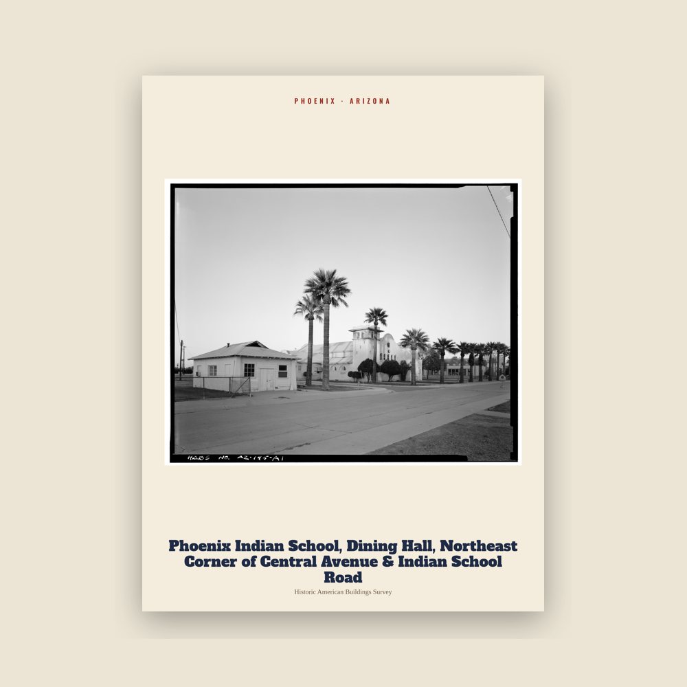
The Army created Fort McDowell on the Verde River in 1865 to forestall Indian uprisings. The fort established a camp on the south side of the Salt River by 1866, which was the first settlement in the valley after the decline of the Hohokam. Other nearby settlements later merged to become the city of Tempe.
Read the full history
Founding and incorporation
The history of Phoenix begins with Jack Swilling, a Confederate veteran of the Civil War who prospected in the nearby mining town of Wickenburg in the newly formed Arizona Territory. As he traveled through the Salt River Valley in 1867, he saw a potential for farming to supply Wickenburg with food. He also noted the eroded mounds of dirt that indicated previous canals dug by native peoples who had long since left the area. He formed the Swilling Irrigation and Canal Company that year, dug a large canal that drew in river water, and erected several crop fields in a location that is now within the eastern portion of central Phoenix near its airport. Other settlers soon began to arrive, appreciating the area's fertile soil and lack of frost, and the farmhouse Swilling constructed became a frequently visited location in the valley. Lord Darrell Duppa was one of the original settlers in Swilling's party, and he suggested the name "Phoenix", as it described a city born from the ruins of a former civilization.
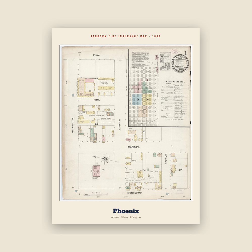
The board of supervisors in Yavapai County officially recognized the new town on May 4, 1868, and the first post office was established the following month with Swilling as the postmaster. In October 1870, valley residents met to select a new townsite for the valley's growing population. A new location three miles to the west of the original settlement, containing several allotments of farmland, was chosen, and lots began to officially be sold under the name of Phoenix in December of that year. This established the downtown core in a grid layout pattern that has been the hallmark of Phoenix's urban development ever since.
On February 12, 1871, the territorial legislature created Maricopa County by dividing Yavapai County; it was the sixth one formed in the Arizona Territory. The first election for county office was held in 1871 when Tom Barnum was elected the first sheriff. He ran unopposed when the other two candidates (John A. Chenowth and Jim Favorite) fought a duel; Chenowth killed Favorite and was forced to withdraw from the race.
The town grew during the 1870s, and President Ulysses S. Grant issued a land patent for the site of Phoenix on April 10, 1874. By 1875, the town had a telegraph office, 16 saloons, and four dance halls, but the townsite-commissioner form of government needed an overhaul. An election was held in 1875, and three village trustees and other officials were elected. By 1880, the town's population stood at 2,453.
By 1881, Phoenix's continued growth made the board of trustees obsolete. The Territorial Legislature passed the Phoenix Charter Bill, incorporating Phoenix and providing a mayor-council government; Governor John C. Fremont signed the bill on February 25, 1881, officially incorporating Phoenix as a city with a population of around 2,500.
The railroad's arrival in the valley in the 1880s was the first of several events that made Phoenix a trade center whose products reached eastern and western markets. In response, the Phoenix Chamber of Commerce was organized on November 4, 1888. The city offices moved into the new City Hall at Washington and Central in 1888. The territorial capital moved from Prescott to Phoenix in 1889, and the territorial offices were also in City Hall. The arrival of the Santa Fe, Prescott and Phoenix Railway in 1895 connected Phoenix to Prescott, Flagstaff, and other communities in the northern part of the territory. The increased access to commerce expedited the city's economic rise. The Phoenix Union High School was established in 1895 with an enrollment of 90.
1901 to World War II
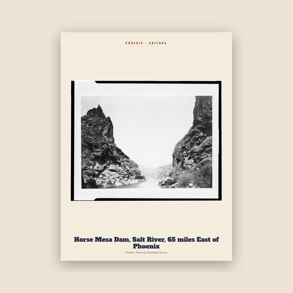
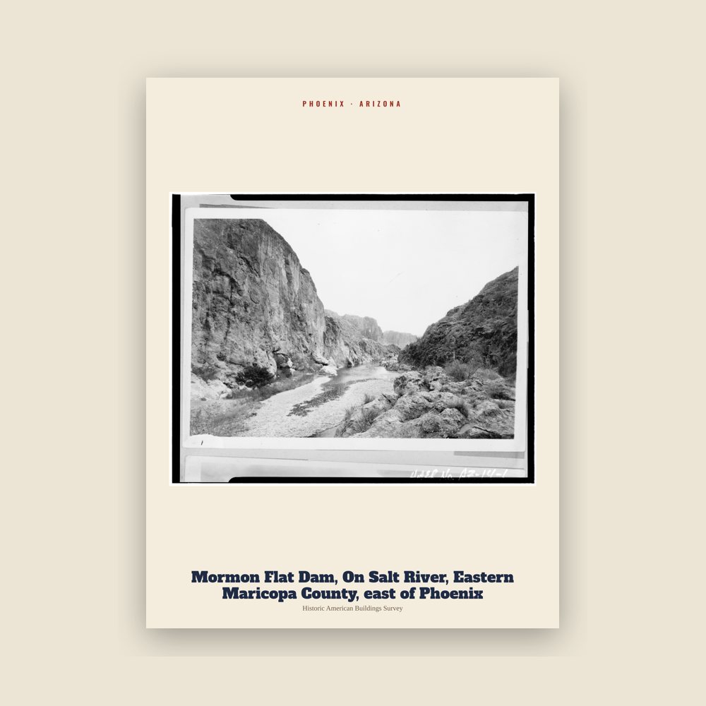
On February 25, 1901, Governor Oakes Murphy dedicated the permanent Capitol building, and the Carnegie Free Library opened seven years later, on February 18, 1908, dedicated by Benjamin Fowler. The National Reclamation Act was signed by President Theodore Roosevelt in 1902, which allowed dams to be built on waterways in the west for reclamation purposes. The first dam constructed under the act, Salt River Dam#1, began in 1903. It supplied both water and electricity, becoming the first multi-purpose dam, and Roosevelt attended the official dedication on May 18, 1911. At the time, it was the largest masonry dam in the world, forming a lake in the mountains east of Phoenix. The dam would be renamed after Teddy Roosevelt in 1917, and the lake would follow suit in 1959.
On February 14, 1912, Phoenix became a state capital, as Arizona was admitted to the Union as the 48th state under President William Howard Taft. This occurred just six months after Taft had vetoed a joint congressional resolution granting statehood to Arizona, due to his disapproval of the state constitution's position on the recall of judges. In 1913, Phoenix's move from a mayor-council system to council-manager made it one of the first cities in the United States with this form of city government. After statehood, Phoenix's growth started to accelerate; eight years later, its population reached 29,053. In 1920, Phoenix would see its first skyscraper, the Heard Building; it was the tallest building in the state until the completion of the Luhrs Building in 1924. In 1929, Sky Harbor was officially opened, at the time owned by Scenic Airways. The city purchased it in 1935 and continues to operate it today.
On March 4, 1930, former U.S. President Calvin Coolidge dedicated a dam on the Gila River named in his honor. However, the state had just been through a long drought, and the reservoir which was supposed to be behind the dam was virtually dry. The humorist Will Rogers, who was on hand as a guest speaker joked, "If that was my lake, I'd mow it." Phoenix's population had nearly doubled during the 1920s and by 1930 stood at 48,118. It was also during the 1930s that Phoenix and its surrounding area began to be called "The Valley of the Sun", which was an advertising slogan invented to boost tourism.
During World War II, Phoenix's economy shifted to that of a distribution center, transforming into an "embryonic industrial city" with the mass production of military supplies. There were three air force fields in the area: Luke Field, Williams Field, and Falcon Field, as well as two large pilot training camps, Thunderbird Field No. 1 in Glendale and Thunderbird Field No. 2 in Scottsdale.
Post-World War II explosive growth
A town that had just over 65,000 residents in 1940 became America's fifth most populous city by 2020, with a population of nearly 1.6 million, and millions more in nearby suburbs. After the war, many of the men who had undergone their training in Arizona returned with their new families. Learning of this large untapped labor pool enticed many large industries to move their operations to the area. In 1948, high-tech industry, which would become a staple of the state's economy, arrived in Phoenix when Motorola chose Phoenix as the site of its new research and development center for military electronics. Seeing the same advantages as Motorola, other high-tech companies, such as Intel and McDonnell Douglas, moved into the valley and opened manufacturing operations.
By 1950, over 105,000 people resided in the city and thousands more in surrounding communities. The 1950s growth was spurred on by advances in air conditioning, which allowed homes and businesses to offset the extreme heat experienced in Phoenix and the surrounding areas during its long summers. There was more new construction in Phoenix in 1959 alone than from 1914 to 1946.
Like many emerging American cities at the time, Phoenix's spectacular growth did not occur evenly. It largely took place on the city's north side, a region that was nearly all Caucasian. In 1962, one local activist testified at a US Commission on Civil Rights of hearing that of 31,000 homes that had recently sprung up in this neighborhood, not a single one had been sold to an African-American. Phoenix's African-American and Mexican-American communities remained largely sequestered on the south side of town. The color lines were so rigid that no one north of Van Buren Street would rent to the African-American baseball star Willie Mays, in town for spring training in the 1960s. In 1964, a reporter from The New Republic wrote of segregation in these terms: "Apartheid is complete. The two cities look at each other across a golf course."
1960s to present
The continued rapid population growth led more businesses to the valley to take advantage of the labor pool, and manufacturing, particularly in the electronics sector, continued to grow. The convention and tourism industries saw rapid expansion during the 1960s, with tourism becoming the third largest industry by the end of the decade. In 1965, the Phoenix Corporate Center opened; at the time it was the tallest building in Arizona, topping off at 341 feet. The 1960s saw many other buildings constructed as the city expanded rapidly, including the Rosenzweig Center (1964), today called Phoenix City Square, the landmark Phoenix Financial Center (1964), as well as many of Phoenix's residential high-rises. In 1965 the Arizona Veterans Memorial Coliseum opened at the Arizona State Fairgrounds, west of downtown. When Phoenix was awarded an NBA franchise in 1968, which would be called the Phoenix Suns, they played their home games at the Coliseum until 1992, after which they moved to America West Arena. In 1968, President Lyndon B. Johnson approved the Central Arizona Project, assuring future water supplies for Phoenix, Tucson, and the agricultural corridor between them. The following year, Pope Paul VI created the Diocese of Phoenix on December 2, by splitting the Archdiocese of Tucson, with Edward A. McCarthy as the first Bishop.
In the 1970s, the downtown area experienced a resurgence, with a level of construction activity not seen again until the urban real estate boom of the 2000s. By the end of the decade, Phoenix adopted the Phoenix Concept 2000 plan which split the city into urban villages, each with its own village core where greater height and density was permitted, further shaping the free-market development culture. The nine original villages have expanded to 15 over the years (see Cityscape below). This officially turned Phoenix into a city of many nodes, which would later be connected by freeways. The Phoenix Symphony Hall opened in 1972; other major structures which saw construction downtown during this decade were the First National Bank Plaza, the Valley Center (the tallest building in Arizona), and the Arizona Bank building.
On September 25, 1981, Phoenix resident Sandra Day O'Connor broke the gender barrier on the U.S. Supreme Court, when she was sworn in as the first female justice. In 1985, the Palo Verde Nuclear Generating Station, the nation's largest nuclear power plant, began electrical production. Pope John Paul II and Mother Teresa both visited the Valley in 1987.
There was an influx of refugees due to low-cost housing in the Sunnyslope area in the 1990s, resulting in 43 different languages being spoken in local schools by 2000. The new 20-story City Hall opened in 1992.
Phoenix maintained a growth streak in the early 2000s, growing by 24.2% before 2007. In 2008, Squaw Peak, the city's second tallest mountain, was renamed Piestewa Peak after Army Specialist Lori Ann Piestewa, an Arizonan and the first Native American woman to die in combat while serving in the U.S. military, as well as being the first American female casualty of the 2003 Iraq War. 2008 also saw Phoenix as one of the cities hardest hit by the subprime mortgage crisis, and by early 2009 the median home price was $150,000, down from its $262,000 peak in 2007. Violent rates in Phoenix have been falling since 2023, and once troubled, decaying neighborhoods such as South Mountain, Alhambra, and Maryvale have recovered and stabilized. On June 1, 2023, the State of Arizona announced the decision to halt new housing development in the Phoenix metropolitan area that relies solely on groundwater due to a predicted water shortfall.
















 Chase Field
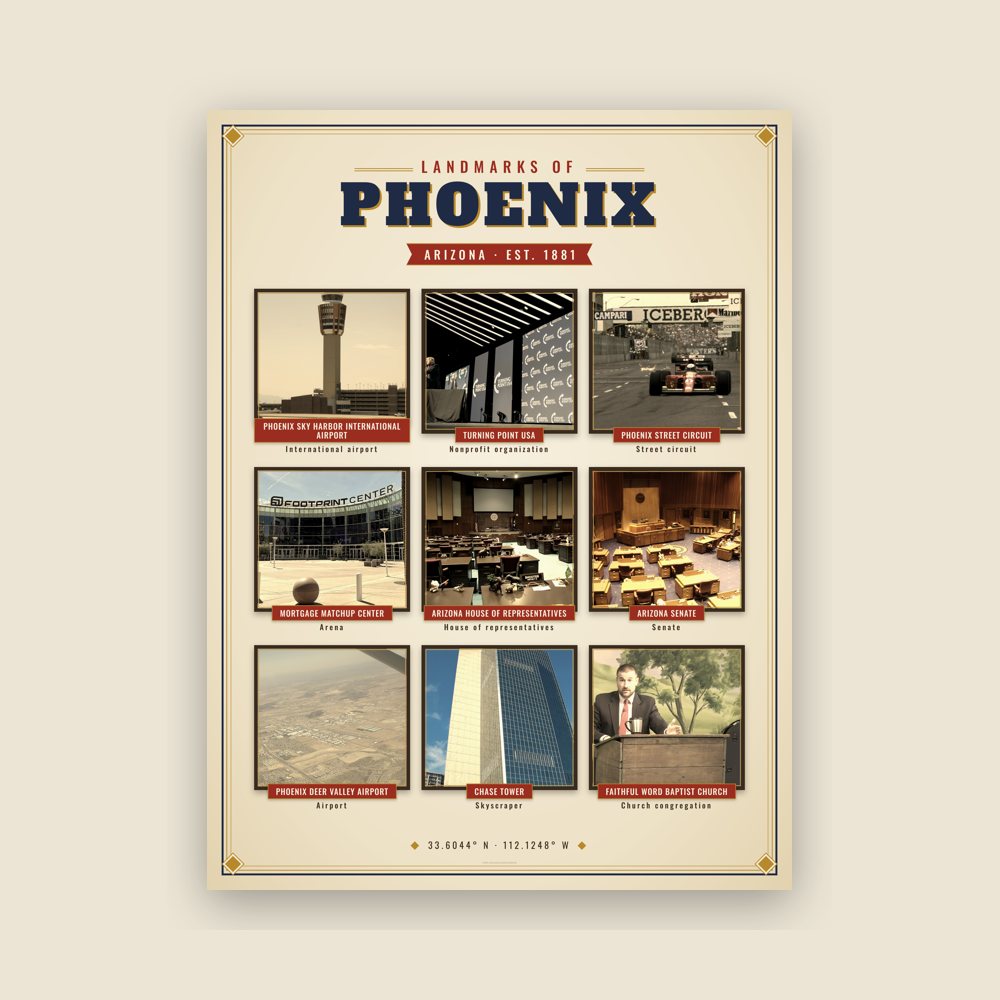
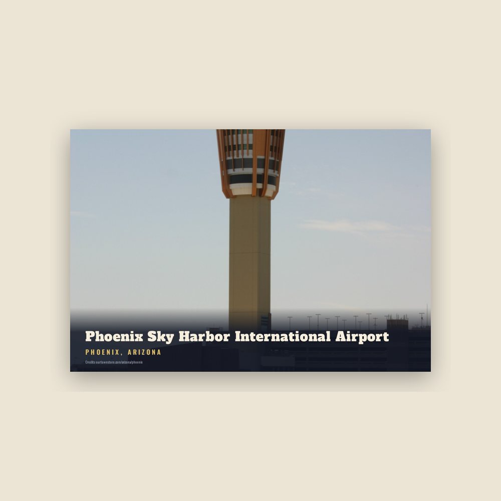
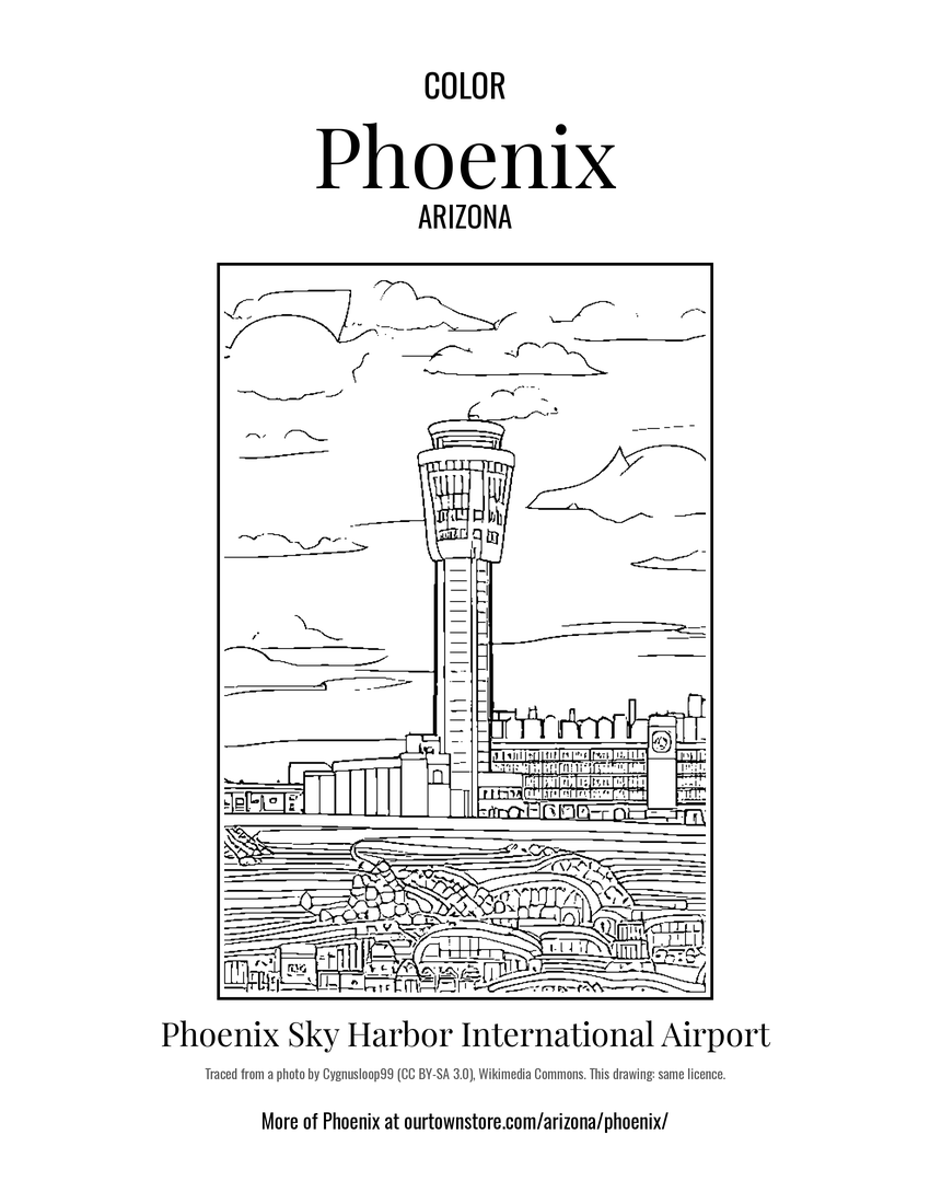 Phoenix Sky Harbor International Airport
 Turning Point USA
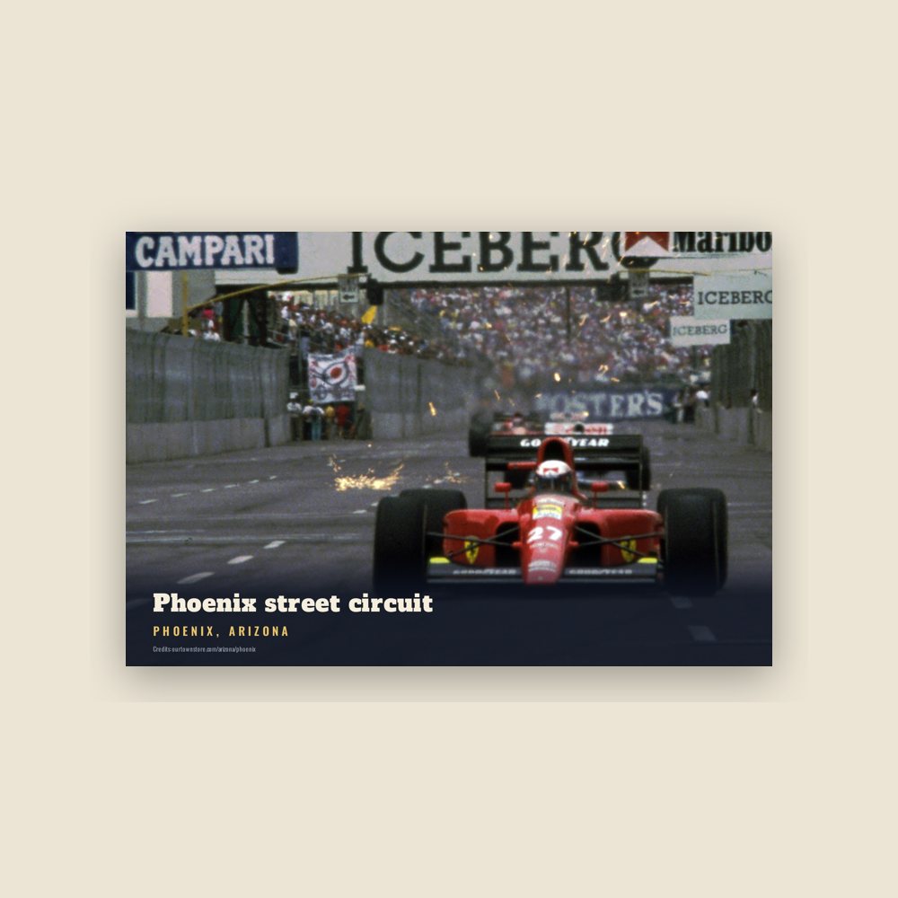
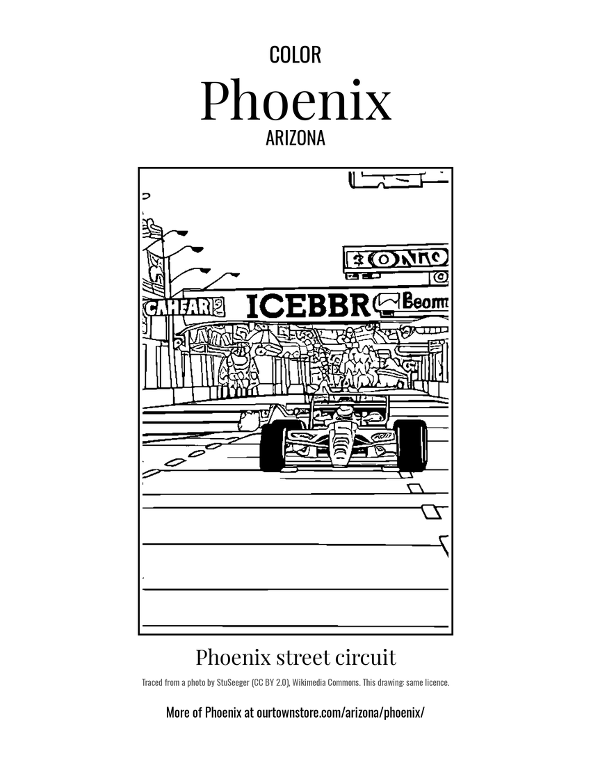 Phoenix street circuit