Cart 0

Harrisville North Fork Hughes River Bridge Archive Print

Harrisville North Fork Hughes River Bridge (Ruin), South side of the north fork of the Hughes River approximately 3100 feet (945 meters) northeast of the Jughandle campground at North Bend State Park Archive Print

From the Library of Congress collections: a historic survey drawing or photograph of the town.

from $44

Arrives damaged, misprinted or wrong? We replace it or refund you in full. Details

18″×24″ · 24″×36″
  • Printed on museum-grade enhanced matte paper with archival inks. Ships rolled in a tube; frame not included.
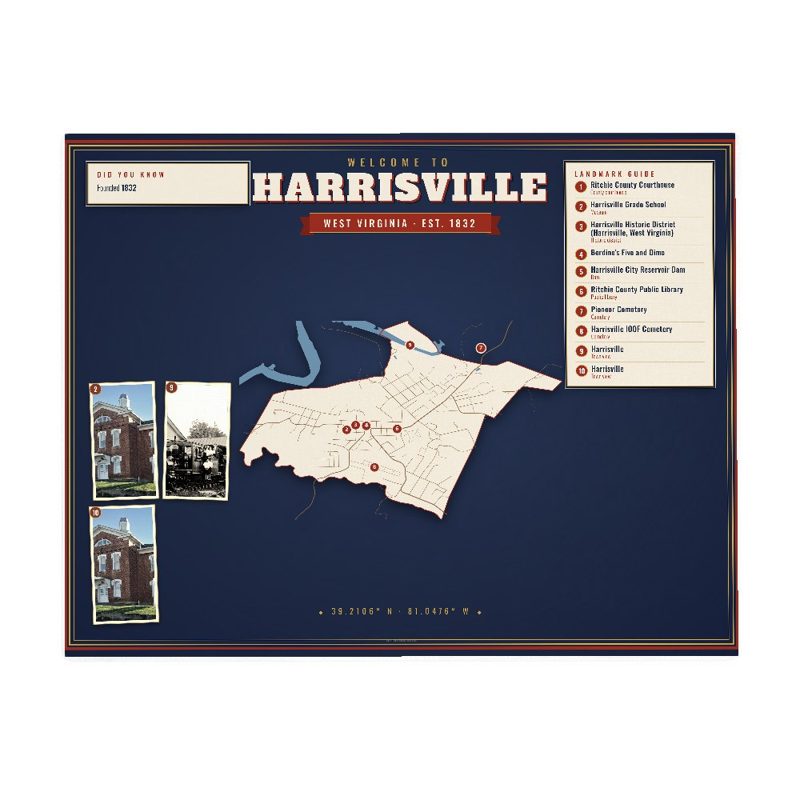
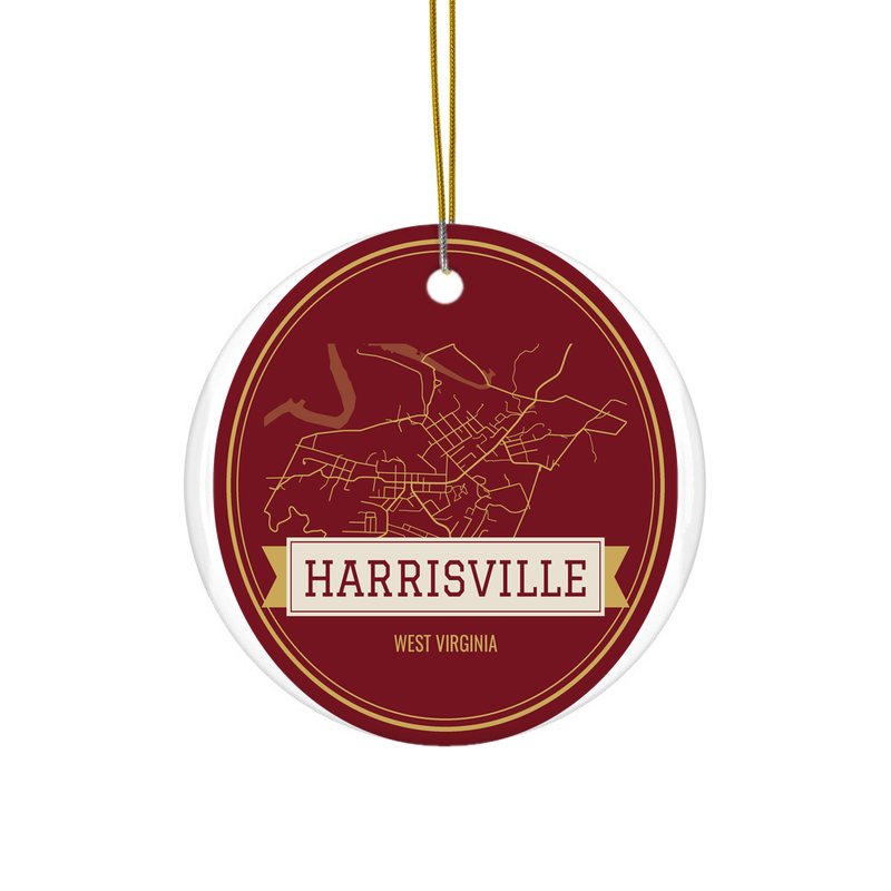
  • Designed for Harrisville from its own map data and history.
  • Printed to order and shipped from the USA in 5–10 business days.
  • Damaged or misprinted? We replace it free. Returns

See everything for Harrisville · More West Virginia towns

More for Harrisville