Our Town Store
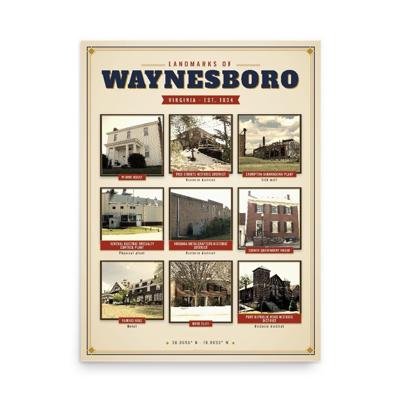
Header photo: Blue Ridge (C&O) Railroad, Culvert, South of U.S. Route 250, 2.2 miles Southeast of Waynesboro, Historic American Buildings Survey, Library of Congress (public domain). Product photos via Wikimedia Commons: Plumb House: Ben Schumin, CC BY-SA 3.0; Tree Streets Historic District: Lvklock, CC BY-SA 3.0; Crompton-Shenandoah Plant: Philip N. Wheeler, CC BY-SA 3.0; General Electric Specialty Control Plant: Philip N. Wheeler, CC BY-SA 3.0; Virginia Metalcrafters Historic District: Nyttend, Public domain; Coiner-Quesenbery House: Lvklock, CC BY-SA 3.0; Fairfax Hall: Philip N. Wheeler, CC BY-SA 3.0; Rose Cliff: Lvklock, CC BY-SA 3.0; Port Republic Road Historic District: Gshamilton, CC BY-SA 3.0; Waynesboro Downtown Historic District: Ben Schumin, CC BY-SA 3.0. Timeline text quoted from Wikipedia (CC BY-SA 4.0). Archive prints: Library of Congress, no known restrictions.
Shop About Partners Link to us Shipping Returns Privacy Terms YouTube hello@ourtownstore.com
Map data © OpenStreetMap contributors (ODbL). Town history from Wikipedia (CC BY-SA 4.0). Not affiliated with the Town of Waynesboro.