Our Town Store
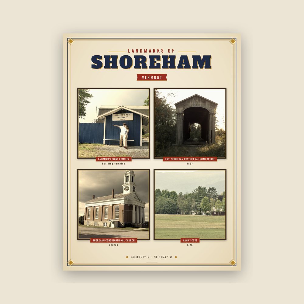
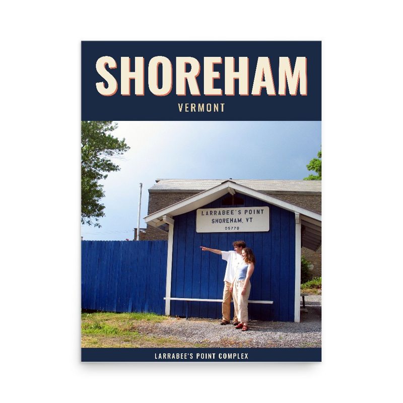
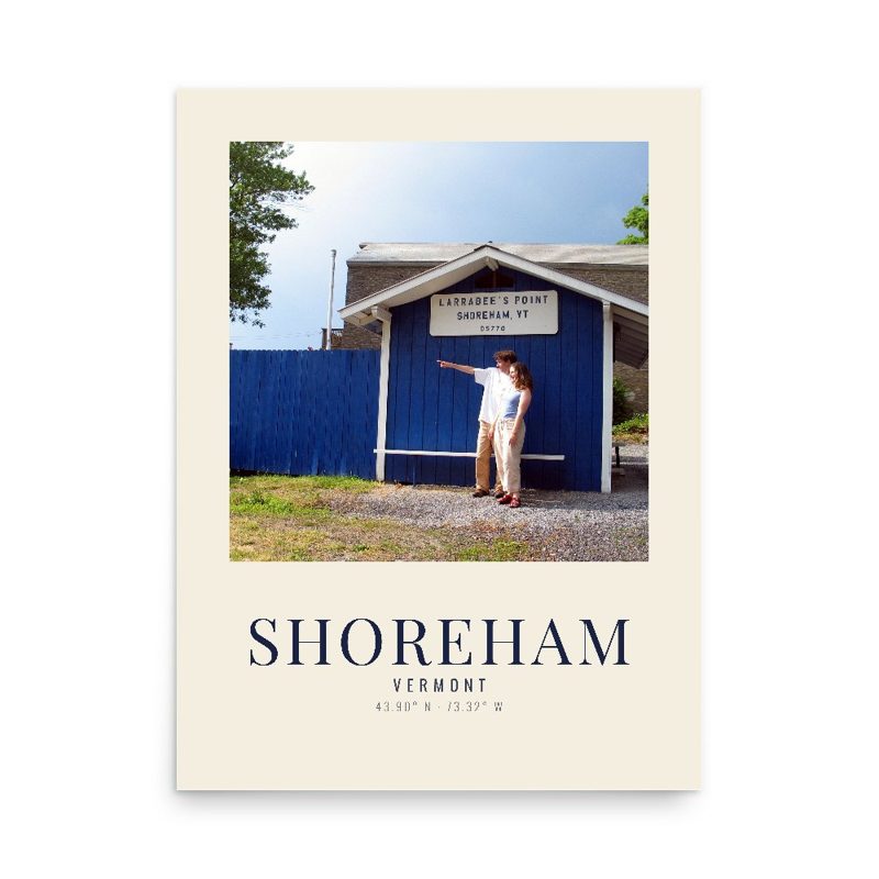
Header photo: ELEVATION - Shoreham Railroad Bridge, Former Addison County Railroad (later, Rutland Railroad, Addison Branch), spanning Lemon Fair River above Richville Pond, west of East Shoreham Road, Historic American Buildings Survey, Library of Congress (public domain). Product photos via Wikimedia Commons: Larrabee's Point Complex: redjar, CC BY-SA 2.0; East Shoreham Covered Railroad Bridge: Bucholmj01, CC BY-SA 4.0; Shoreham Congregational Church: Greenmountainboy, CC BY-SA 3.0; Hand's Cove: Magicpiano, CC BY-SA 3.0. Timeline text quoted from Wikipedia (CC BY-SA 4.0). Archive prints: Library of Congress, no known restrictions.
Shop About Partners Link to us Shipping Returns Privacy Terms YouTube hello@ourtownstore.com
Map data © OpenStreetMap contributors (ODbL). Town history from Wikipedia (CC BY-SA 4.0). Not affiliated with the Town of Shoreham.