The town was named after the ancient city of Jericho. Landmarks include Galusha House, Jericho Center Historic District and Old Red Mill and Mill House. Jericho is the birthplace of Wilson Bentley, photographer.
Every piece is drawn from Jericho's own map data and historic archives, then printed and shipped from the USA when you order. No two towns look alike.
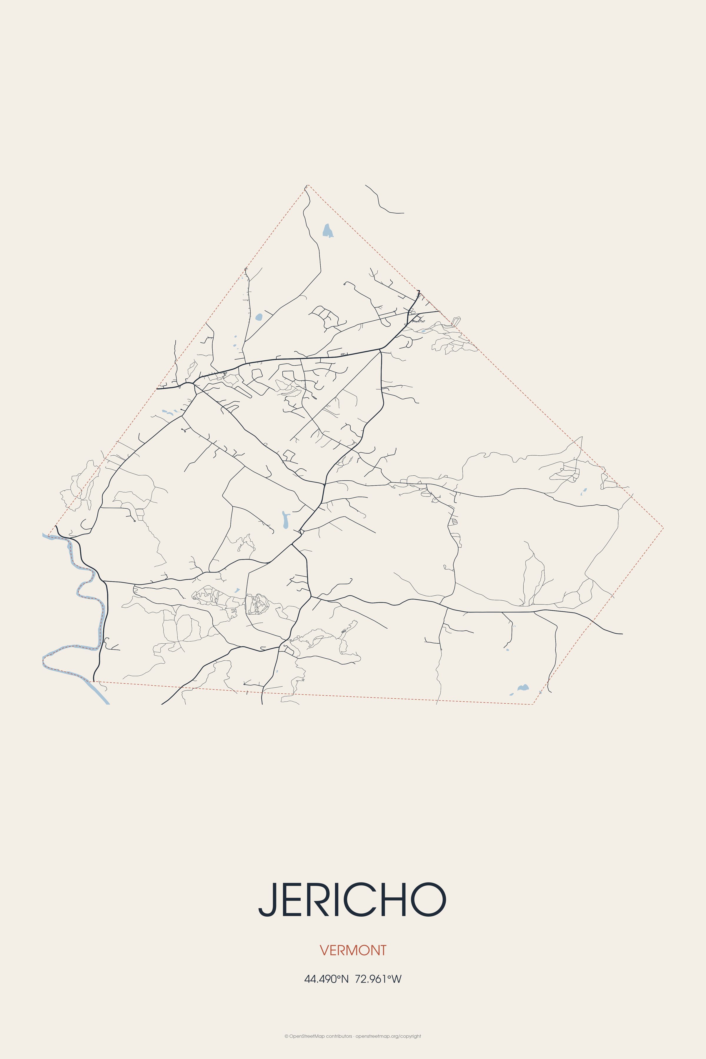
Every road in town, on archival matte paper

The same map, in navy and silver
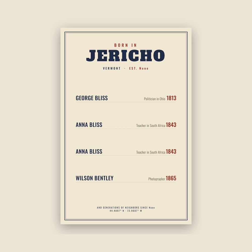
Famous natives, by birth year
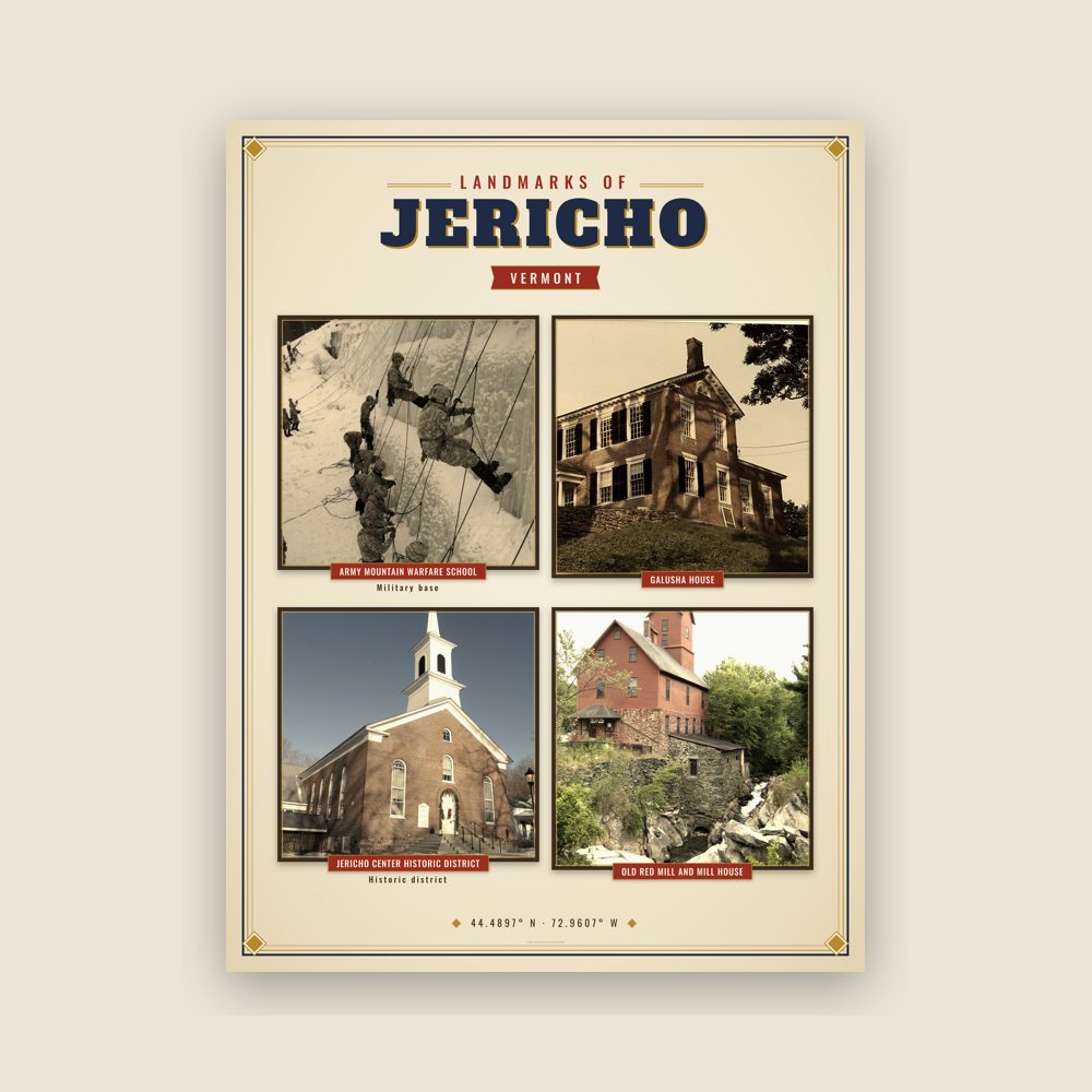
Nine local landmarks, archival matte
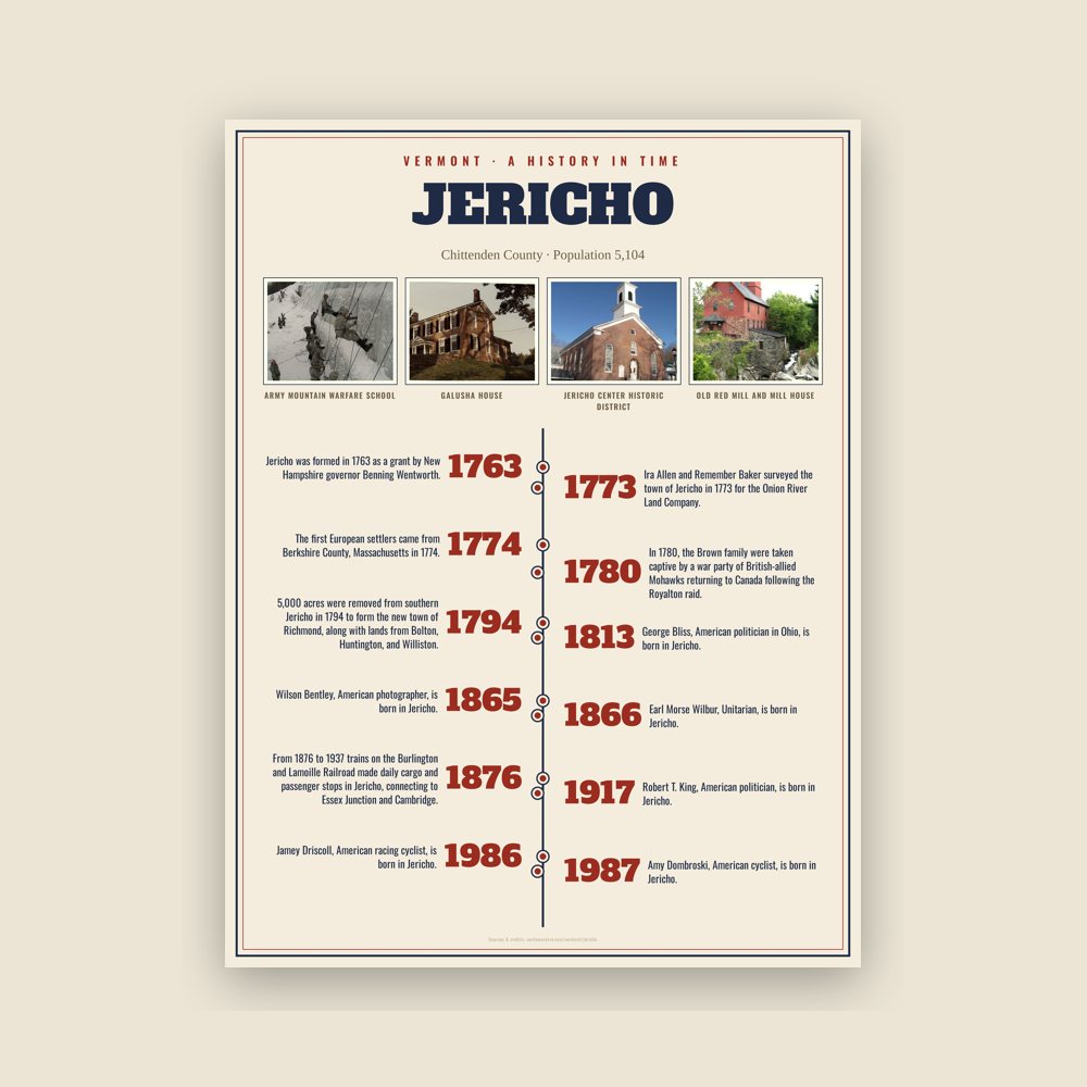
The town's story in dates, from its own records, for home or classroom
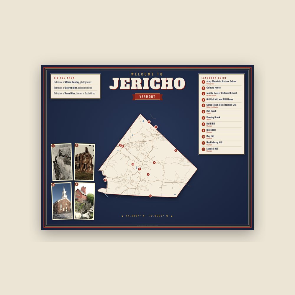
Map of local landmarks, washable fabric
Heavy-blend fleece, street map printed on the back
Soft Bella+Canvas jersey
Glossy ceramic, dishwasher safe
Ceramic keepsake, gold ribbon
Weatherproof, for the front walk
24″×16″, printed coir-look fibers, rubber back
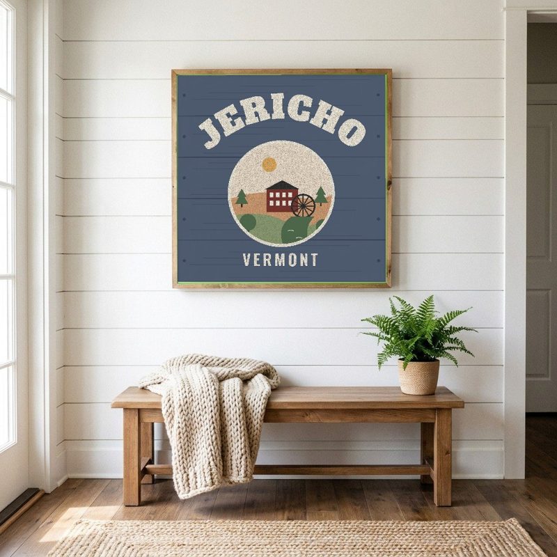
12″×12″ printed wood, ready to hang
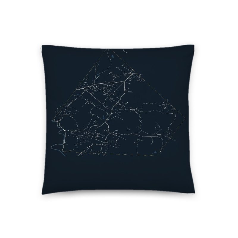
Soft-touch, zip cover
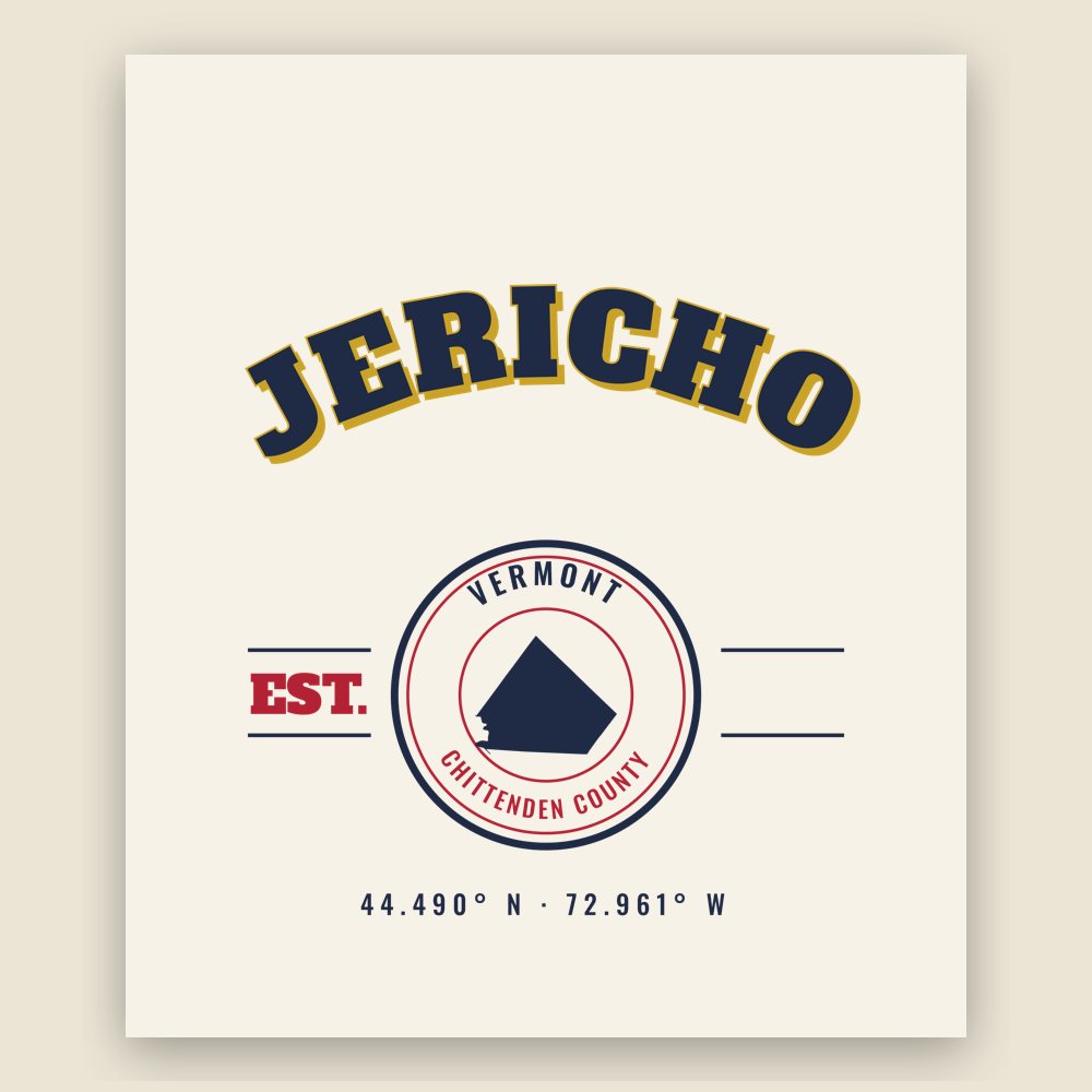
Sturdy all-over-print tote
Glossy top, cork back
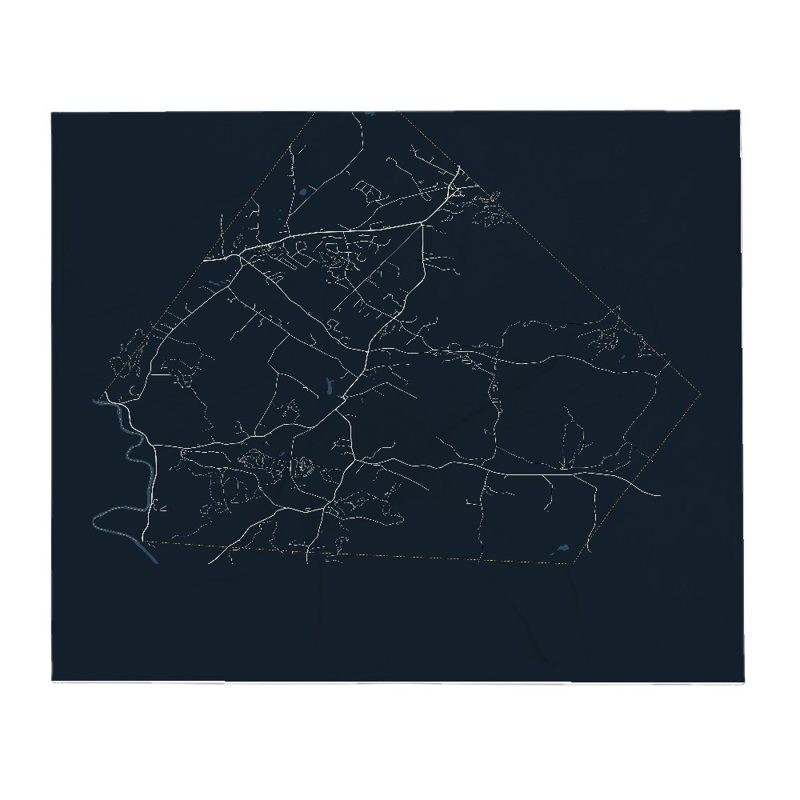
Soft fleece, 50″×60″
20 oz, double-wall stainless
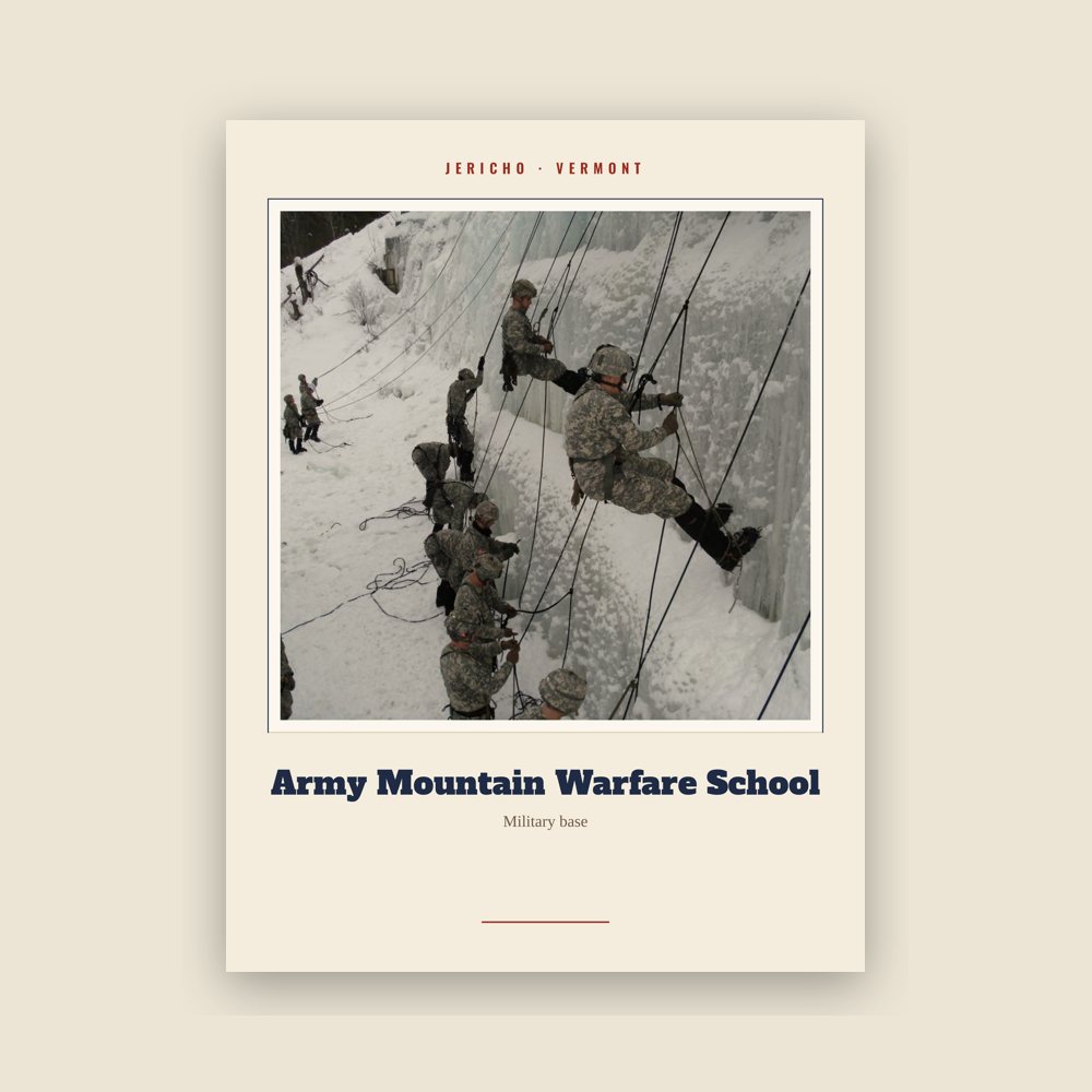
Archival matte print of a local landmark, credited to its photographer
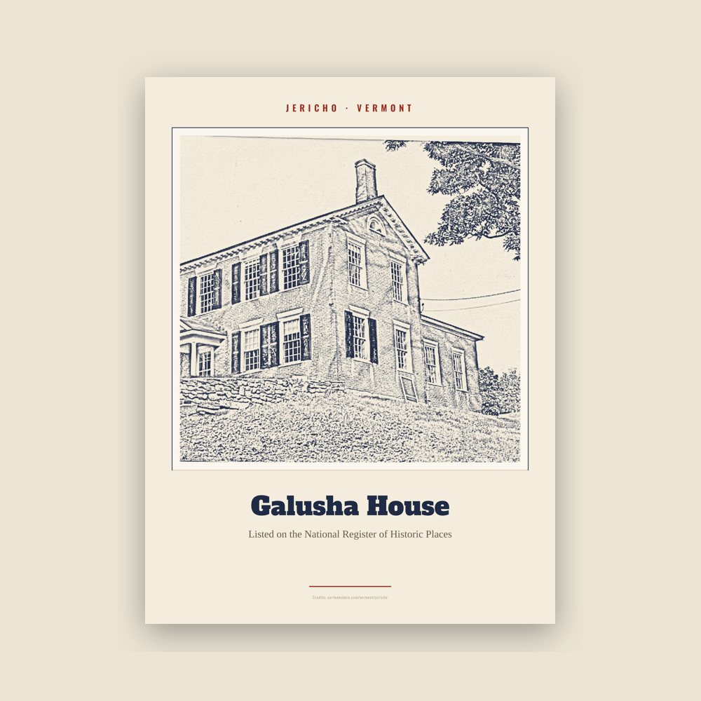
Archival matte print of a local landmark, credited to its photographer
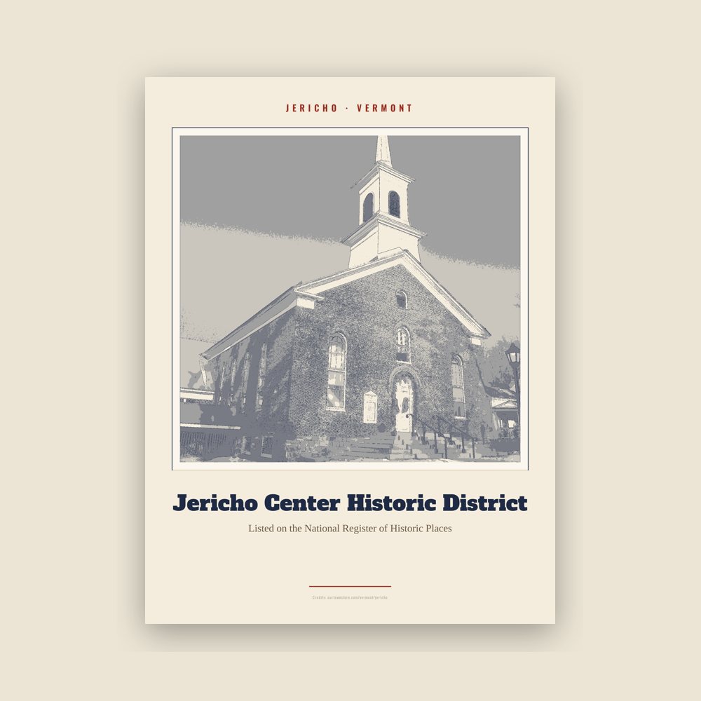
Archival matte print of a local landmark, credited to its photographer
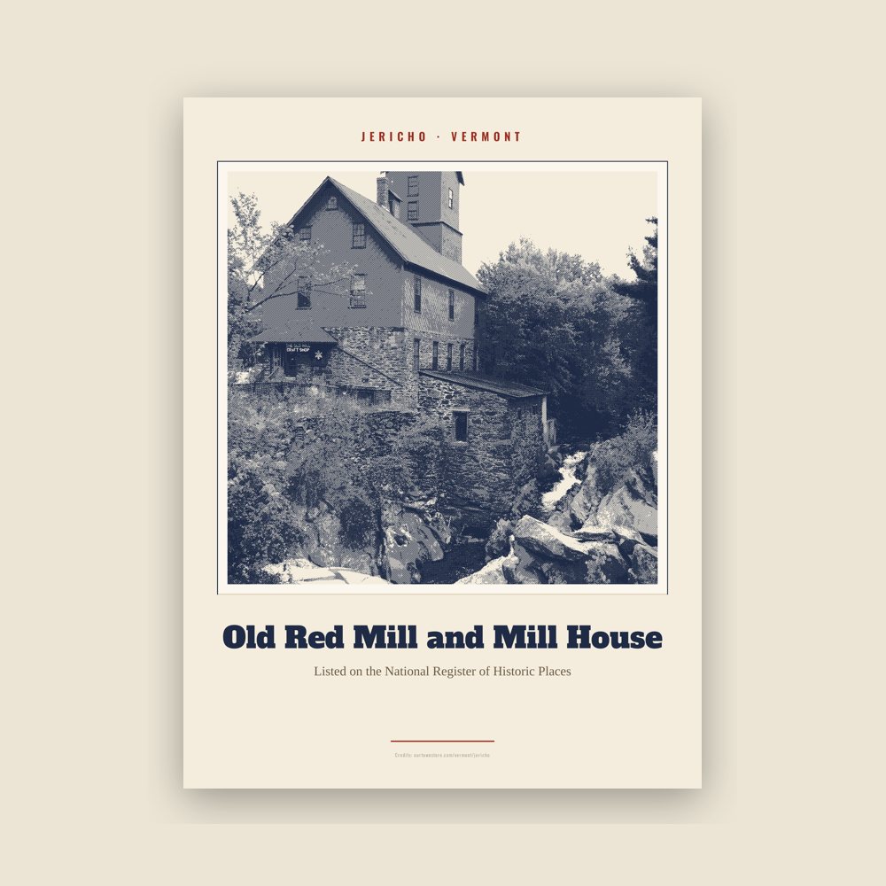
Archival matte print of a local landmark, credited to its photographer
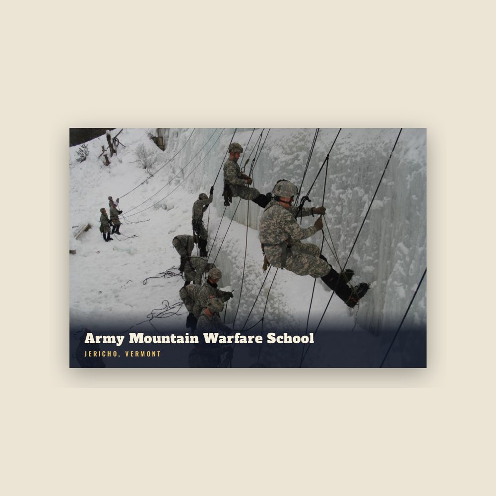
6″×4″ postcard, glossy front
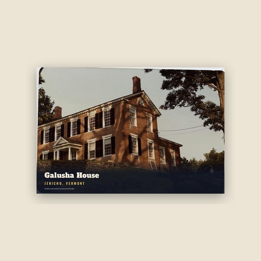
6″×4″ postcard, glossy front
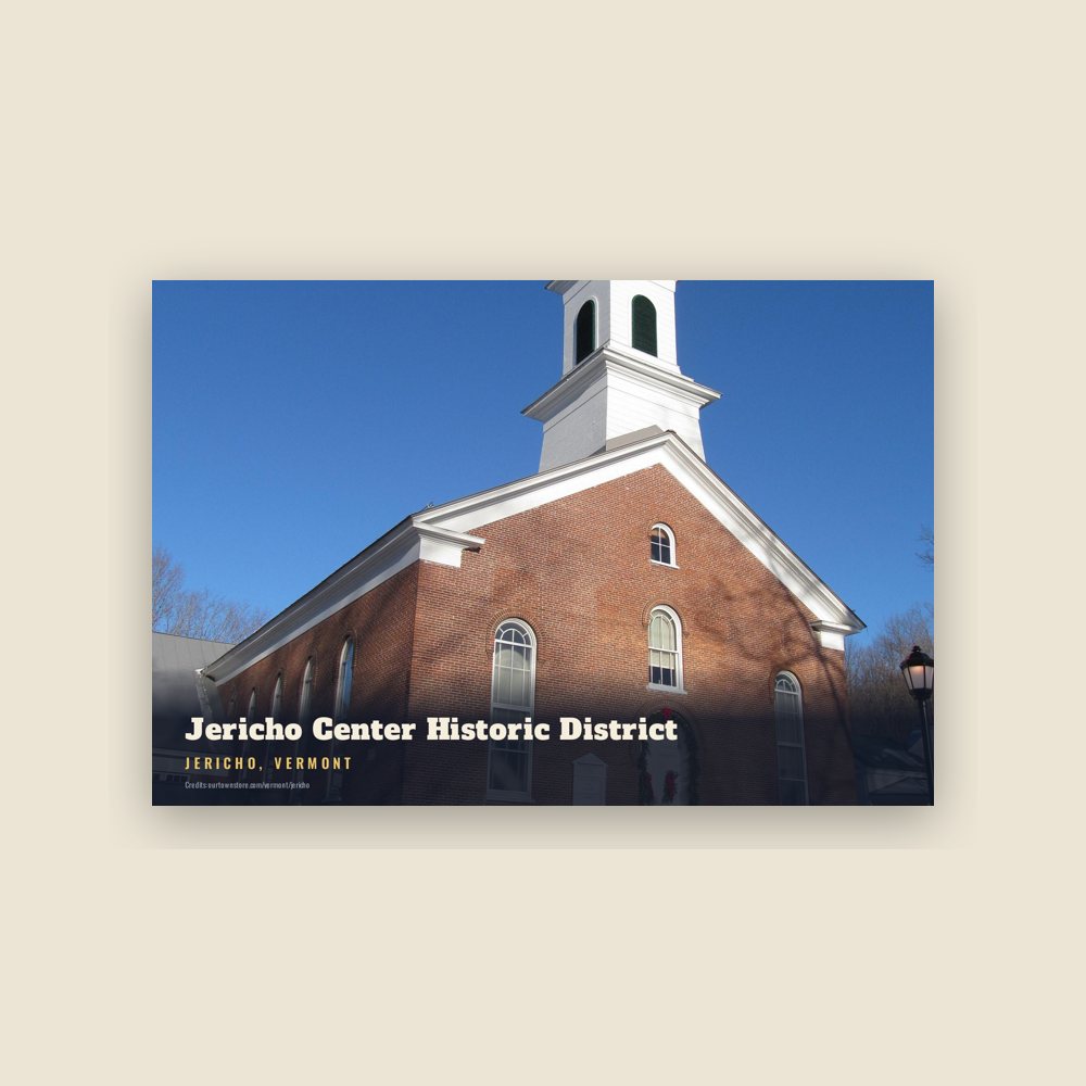
6″×4″ postcard, glossy front
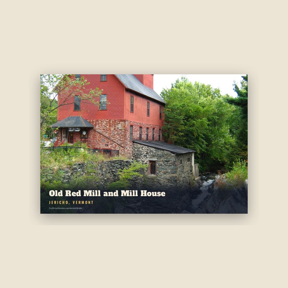
6″×4″ postcard, glossy front
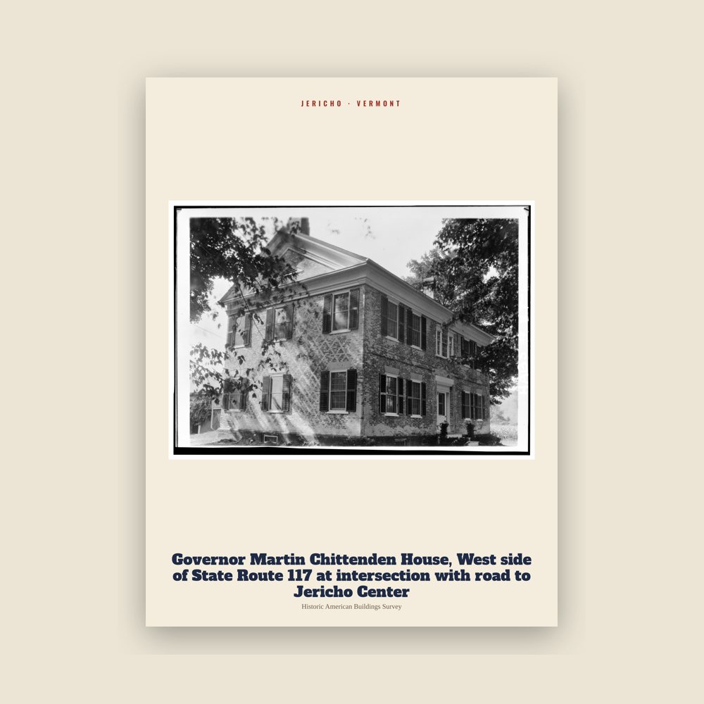
From the Library of Congress collections: a historic survey drawing or photograph of the town
From the Library of Congress collections: a historic survey drawing or photograph of the town
Population 2010: 5,009 → 2020: 5,104
From Wikidata (CC0).
Jericho was formed in 1763 as a grant by New Hampshire governor Benning Wentworth. The first European settlers came from Berkshire County, Massachusetts in 1774.
Ira Allen and Remember Baker surveyed the town of Jericho in 1773 for the Onion River Land Company. A family named Brown were among the first to settle in Jericho in 1774, building a cabin near the Browns River.
In 1776, a detachment of the Continental Army was sent to garrison a blockhouse in Jericho along the Onion (Winooski) River, but they retreated back to Fort Ticonderoga within weeks of their arrival due to fears of British advance south from Canada. The officers involved included Matthew Lyon; they were tried and convicted by court-martial for cowardice and disobeying orders to maintain the post. The location of the Jericho blockhouse is believed to have been along River Road near the intersection with Skunk Hollow.
In 1780, the Brown family were taken captive by a war party of British-allied Mohawks returning to Canada following the Royalton raid.
5,000 acres were removed from southern Jericho in 1794 to form the new town of Richmond, along with lands from Bolton, Huntington, and Williston.
The town's economy developed around logging, agriculture, and milling along the Browns River, where the revitalized Old Red Mill still stands today. Three village centers emerged: Jericho Corners, Jericho Center, and Riverside. From 1876 to 1937 trains on the Burlington and Lamoille Railroad made daily cargo and passenger stops in Jericho, connecting to Essex Junction and Cambridge.
From 1926 into the 1940s, the federal government purchased 5,240 acres of land in Jericho for military purposes; this and adjoining land in Underhill and Bolton now form the Camp Ethan Allen Training Site.
Adapted (trimmed) from the Wikipedia article Jericho, Vermont, revision 1378442435 by its contributors, licensed CC BY-SA 4.0.
We share a part of every Jericho sale with local partners, and we'd love to print from your collection. Old photographs, maps and postcards make the best keepsakes.
Partner with us