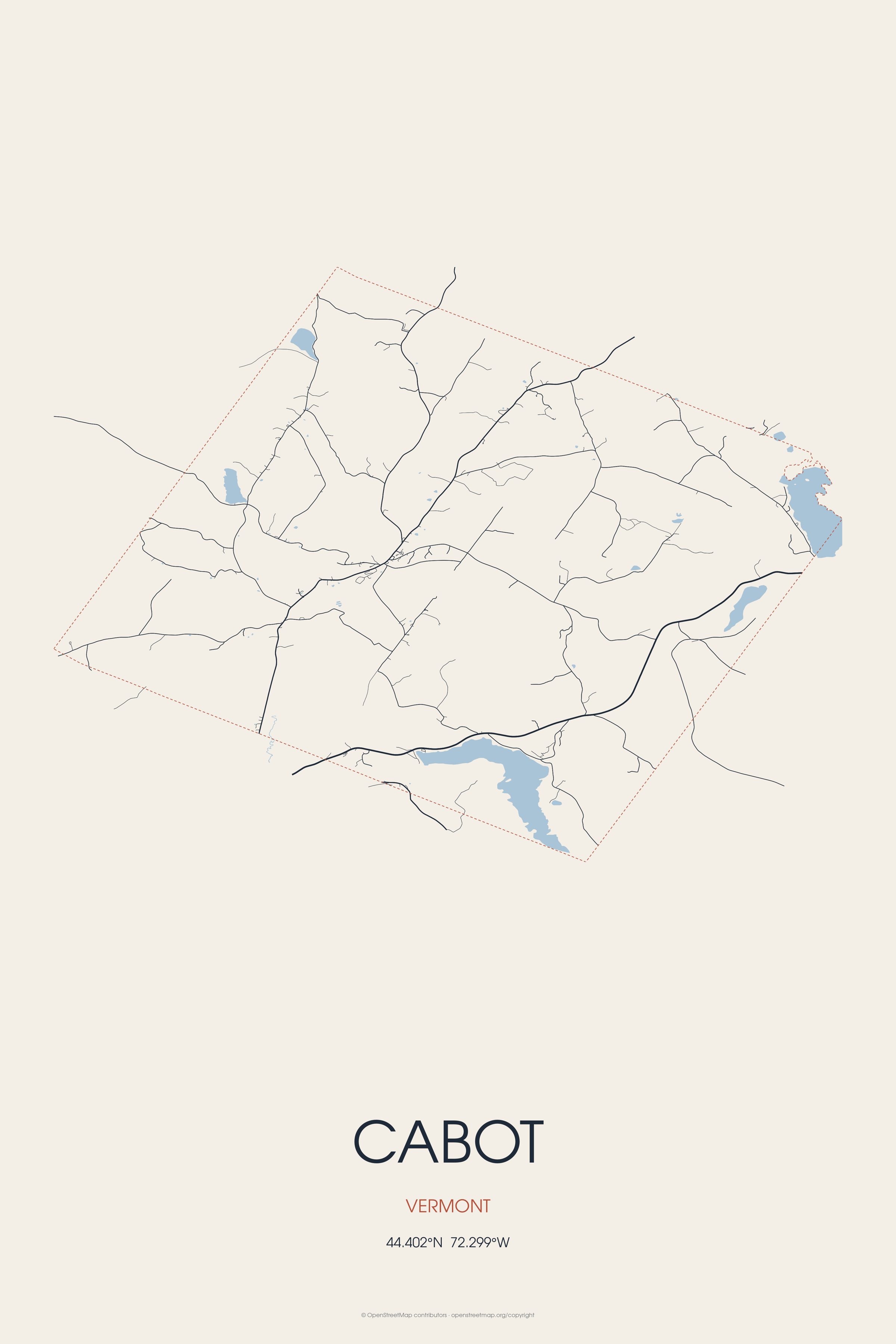
It contains the unincorporated villages of Cabot Village, Cabot Plain, South Cabot, East Cabot, Lower Cabot, and West Hill. Cabot is the birthplace of Zerah Colburn, mental calculator.
Every piece is drawn from Cabot's own map data and historic archives, then printed and shipped from the USA when you order. No two towns look alike.
Every road in town, on archival matte paper
The same map, in navy and silver
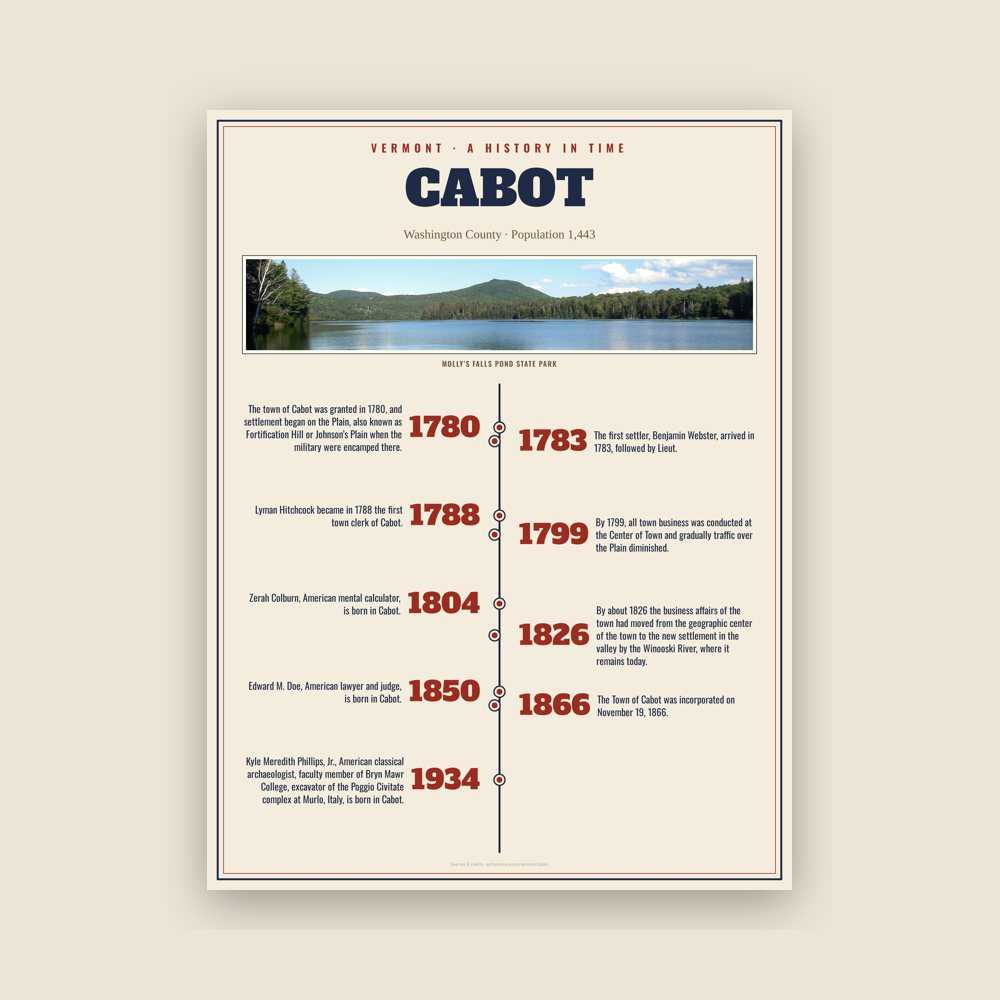
The town's story in dates, from its own records, for home or classroom
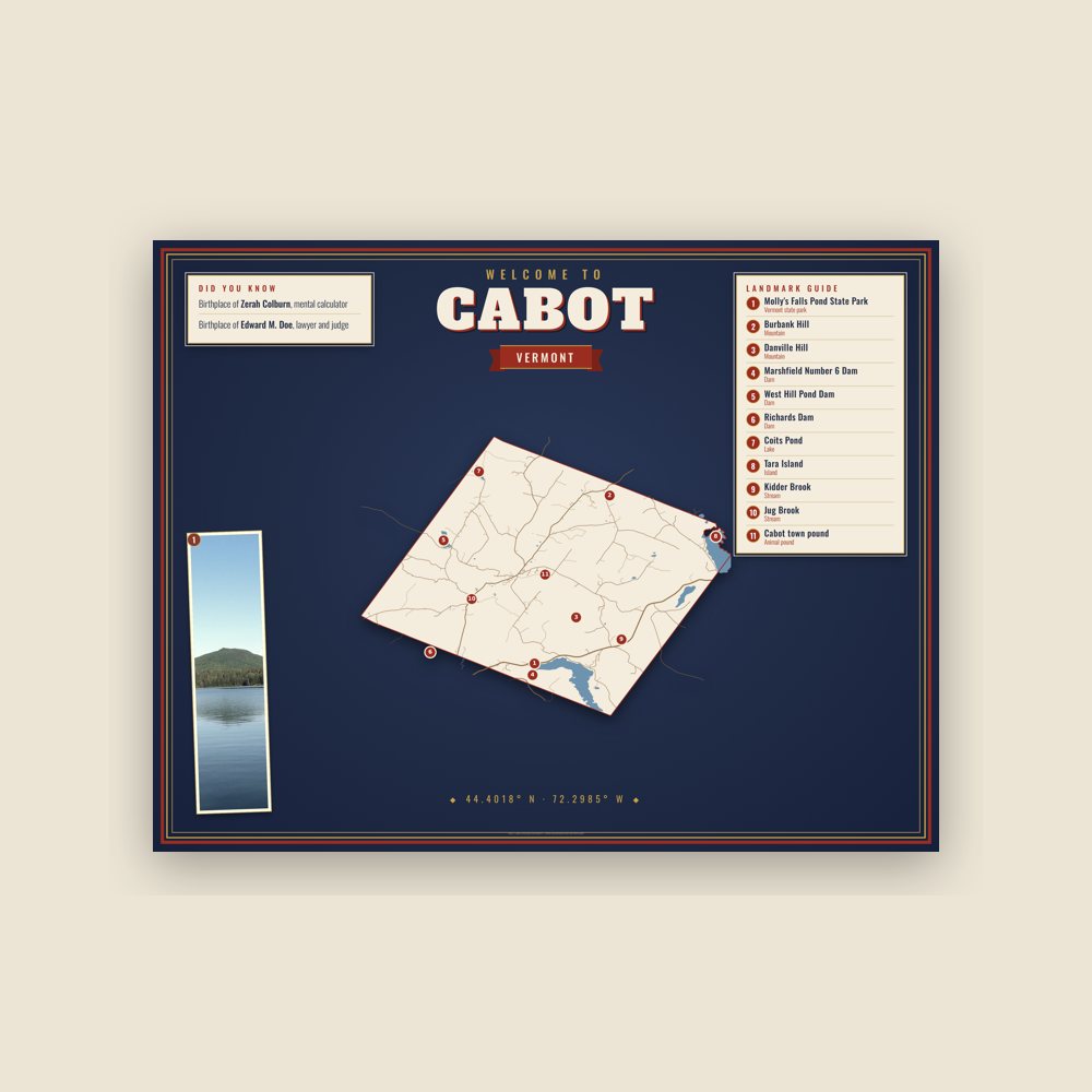
Map of local landmarks, washable fabric
Heavy-blend fleece, street map printed on the back
Soft Bella+Canvas jersey
Glossy ceramic, dishwasher safe
Ceramic keepsake, gold ribbon
Weatherproof, for the front walk
24″×16″, printed coir-look fibers, rubber back
12″×12″ printed wood, ready to hang
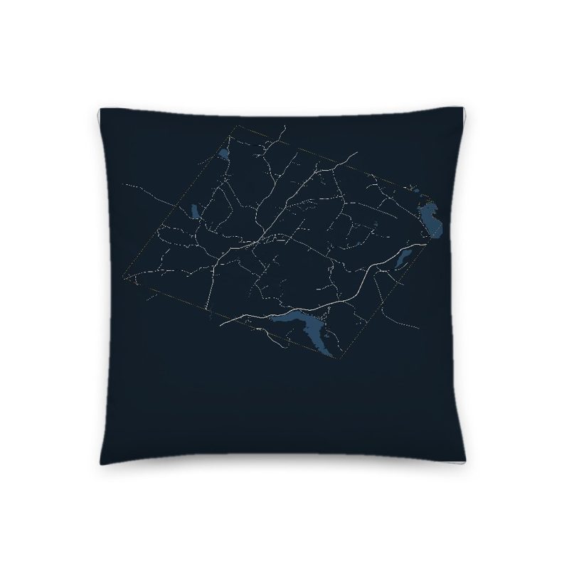
Soft-touch, zip cover
Sturdy all-over-print tote
Glossy top, cork back
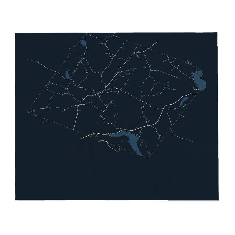
Soft fleece, 50″×60″
20 oz, double-wall stainless

Archival matte print of a local landmark, credited to its photographer
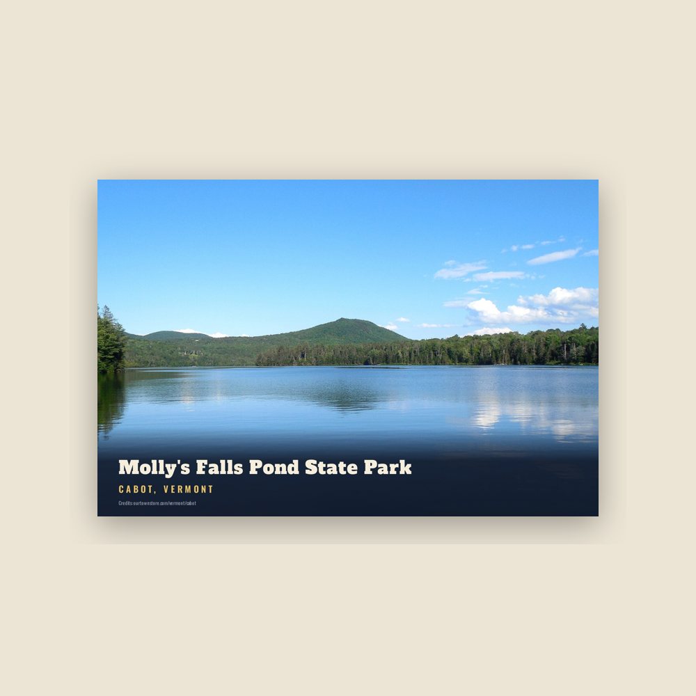
6″×4″ postcard, glossy front
Population 2010: 1,433 → 2020: 1,443
From Wikidata (CC0).
The town of Cabot was granted in 1780, and settlement began on the Plain, also known as Fortification Hill or Johnson’s Plain when the military were encamped there. The first settler, Benjamin Webster, arrived in 1783, followed by Lieut. Jonathan Heath, Nathaniel Webster, and Lieut. Thomas Lyford, with their families. The town was named by settler Lyman Hitchcock after his wife, Sophia Cabot (no relation to Venetian explorers John and Sebastian Cabot). Lyman Hitchcock became in 1788 the first town clerk of Cabot.
When the Bayley-Hazen Military Road opened in 1775-1776 from Newbury northwest to what is now known as Cabot Plain, the original intent was to build a road through the unexplored wilderness from the northernmost town of Newbury to St. Johns, Quebec, Canada, to facilitate getting supplies to the army that hoped to defeat the British and capture Canada. The road was never completed, but it served to open the northern territory for settlement.
Cabot Plain remained the business center of town until around 1796, when town officials decided to move business to the geographic center of the town, about a mile downhill south of the Plain. A meeting house was constructed, also a pound to contain wandering farm animals, and a whipping post that was used only once to punish an errant citizen. By 1799, all town business was conducted at the Center of Town and gradually traffic over the Plain diminished.
As the town grew, mills, businesses, and farms clustered near the Winooski River and extended south to form a community known as Lower Cabot. By about 1826 the business affairs of the town had moved from the geographic center of the town to the new settlement in the valley by the Winooski River, where it remains today.
The Town of Cabot was incorporated on November 19, 1866. Communities within the township clustered along brooks or near ponds, utilizing the abundant waterpower for sawmills, grist mills, and in Lower Cabot, a woolen mill.
Adapted (trimmed) from the Wikipedia article Cabot, Vermont, revision 1379587930 by its contributors, licensed CC BY-SA 4.0.
We share a part of every Cabot sale with local partners, and we'd love to print from your collection. Old photographs, maps and postcards make the best keepsakes.
Partner with us