Our Town Store
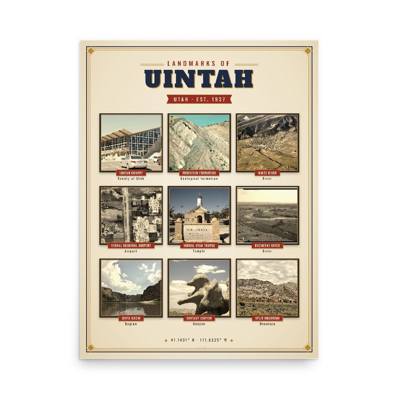
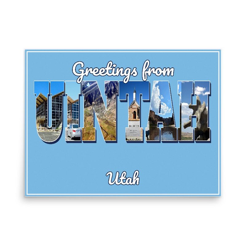
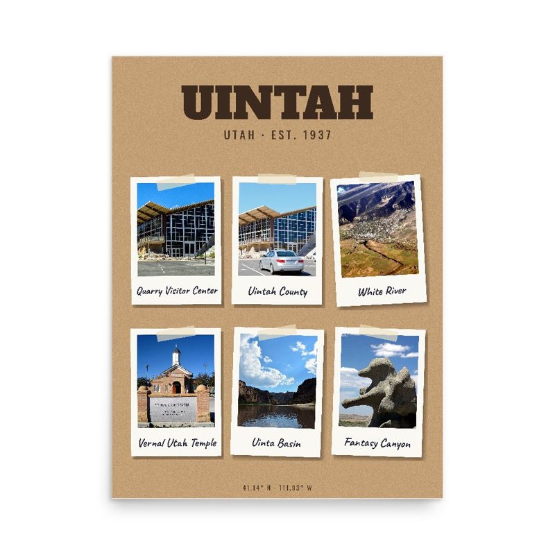
Header photo: Uintah Bridge, Spanning Weber River at 6600 South Street, Historic American Buildings Survey, Library of Congress (public domain). Product photos via Wikimedia Commons: Uintah County: InSapphoWeTrust from Los Angeles, California, USA, CC BY-SA 2.0; Morrison Formation: Anky-man 16:26, 16 April 2007 (UTC), CC BY-SA 3.0; White River: Bobak Ha'Eri, CC BY 3.0; Vernal Regional Airport: United States Geological Survey (USGS), Public domain; Vernal Utah Temple: Rick Willoughby, CC BY 2.0; Duchesne River: unknown, Public domain; Uinta Basin: Bureau of Land Management, Public domain; Fantasy Canyon: James St. John, CC BY 2.0; Split Mountain: MostlyDross, CC BY 2.0; Ouray National Wildlife Refuge: PD-USGov-Interior-FWS.
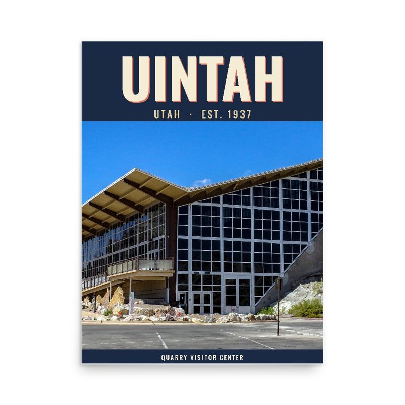
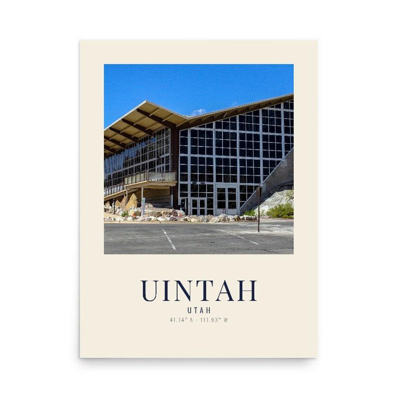
Original uploader was Mattisse at en.wikipedia, Public domain; Quarry Visitor Center: Burley Packwood, CC BY-SA 4.0; Willow Creek: runt35, CC BY 3.0; Uintah: Ntsimp, CC0. Timeline text quoted from Wikipedia (CC BY-SA 4.0). Archive prints: Library of Congress, no known restrictions.
Shop About Partners Link to us Shipping Returns Privacy Terms YouTube hello@ourtownstore.com
Map data © OpenStreetMap contributors (ODbL). Town history from Wikipedia (CC BY-SA 4.0). Not affiliated with the Town of Uintah.