Zacate Creek
Zacate Creek in Laredo, Texas: prints, keepsakes and a free coloring page.
 Laredo Hometown Ornamentfrom $23 · free shipping
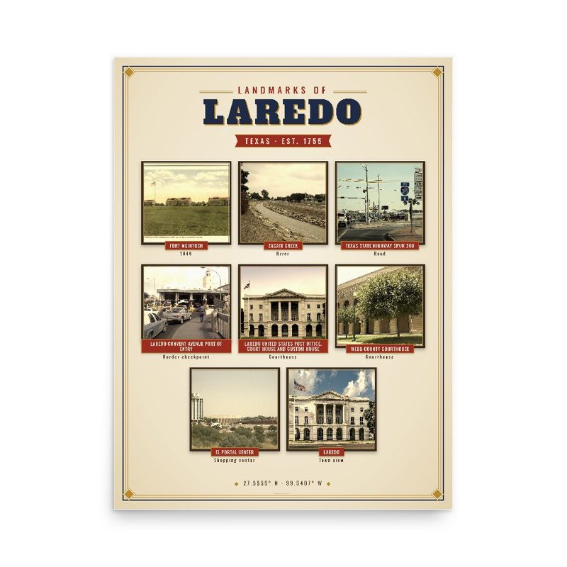 Laredo Landmarks Photo Posterfrom $40 · free shipping
 Laredo Town Line Mugfrom $26 · free shipping
Zacate Creek is inside Laredo, Texas city limits and runs southwest for 10 miles (16 km) until it connects to the Rio Grande. Zacate Creek has several ditches leading to it. The terrain surrounding the creek is mostly clay. The vegetation surrounding the creek is mostly made up of mesquite, cacti, and grasses. Zacate Creek and branches cross several highways in Laredo, Texas among them are: Interstate 35, Business United States Route 59, Texas State Highway Spur 400, Texas State Highway 359, and United States Route 83. The northern branch of the Zacate Creek has a small dam which formed a pond located in Northeast Laredo which is usually filled during storms. The city of Laredo has developed the Zacate Creek Park and the Zacate Creek Greenway, a three-mile (4.8 km) trail near the creek.
From Wikipedia (CC BY-SA).
Free coloring page
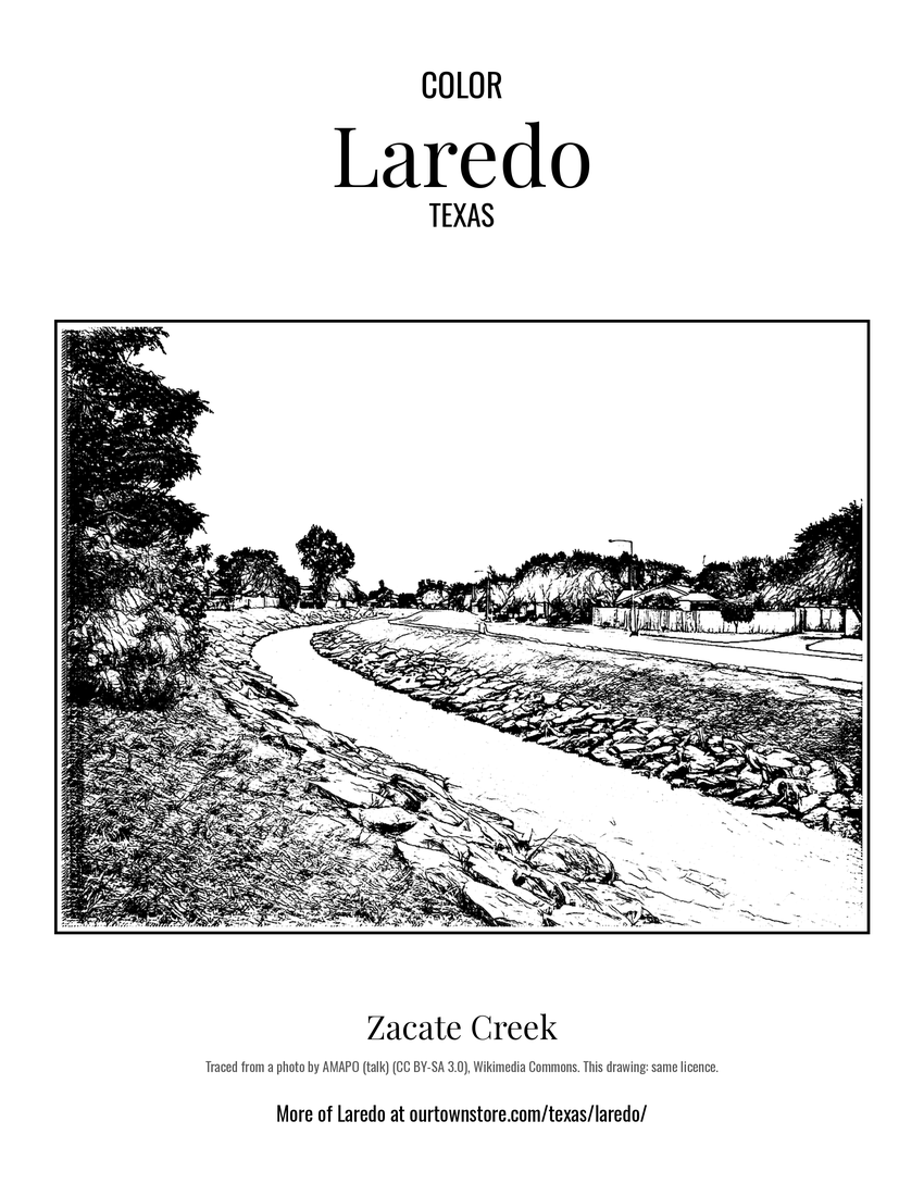 Zacate CreekFree PDF, US Letter
More from Laredo
All Laredo maps, prints and gifts · A custom map with your places marked · Partner with us