North Carolina, North Carolina
Street maps, historic prints and keepsakes for 14 North Carolina towns.
The oldest is Snow Hill, established 1828. The largest by population is Stallings (16,112).
| Town | Established | Population |
|---|---|---|
| Archer Lodge | 2009 | 4,797 |
| Broadway | – | 1,267 |
| Gatesville | 1830 | 267 |
| Grifton | – | 2,448 |
| Hillsborough | – | 9,660 |
| Jackson | – | 430 |
| Jefferson | – | 1,622 |
| Saluda | 1881 | 631 |
| Sharpsburg | – | 1,697 |
| Snow Hill | 1828 | 1,481 |
| Stallings | 1975 | 16,112 |
| Taylorsville | 1879 | 2,320 |
| Tobaccoville | 1991 | 2,578 |
| Whitakers | 1872 | 627 |
About these towns
Archer Lodge: A Masonic lodge named Archer No. 157 was established by the Grand Lodge of Ancient, Free, and Accepted Masons of North Carolina on December 6, 1854, at what was then known as Creachville.
Broadway: According to the book, Broadway North Carolina: 1870-1970, Broadway was settled in 1870 and incorporated as a town in 1907. The name "Broadway" comes from a broad level opening in the region's vast pine forest where the town was established.
Gatesville: The area which presently encompasses Gatesville was originally known as Bennetts Creek Landing. From 1779 it was known as Gates Courthouse until its incorporation in 1830 as Gatesville, being named for Horatio Gates, a commander in the American Revolutionary War.
Grifton: Settlement in the area dates back to 1756, when the locale was known as Peter's Ferry. By 1764, it was known as Blount's Ford.
Hillsborough: Local Native American groups had lived in the Hillsborough area for thousands of years by the time Spanish explorers entered the region.
Jackson: The town of Jackson traces its origins to the creation of Northampton County in 1741 by the Colonial Assembly of North Carolina.
Jefferson: The North Carolina General Assembly created a special commission in 1799 to found a county seat for Ashe County. The commission purchased 50 acres (200,000 m2) of land to form the town of Jeffersonton, later named Jefferson.
Saluda: Saluda's name came from the Cherokee word Tsaludiyi, meaning "green corn place". The first name of the area by European settlers was "Pace's Ridge", from the Pace family who inhabited the area.
Sharpsburg: It is part of the Rocky Mount, North Carolina Metropolitan Statistical Area.
Snow Hill: In its early history, Snow Hill was near the location of the final major battle of the Tuscarora War at Fort Neoheroka in 1713.
Stallings: Stallings was incorporated as a town in 1975, but its history dates back to the early 1900s when Matthew Thomas Stallings, a prominent farmer and merchant who lived near Harrisburg, moved to Union County and bought 200 acres (81 ha) of land on the Mecklenburg County line - northwest of Indian Trail.
Taylorsville: The town of Taylorsville was formed in 1847 along with Alexander County. A commission of William Dula of Caldwell County, Dr. James Calloway of Wilkes County, Milton Campbell of Iredell County, and Robert Allen, Reuben Watts and Robert L.
Tobaccoville: While a Tobaccoville post office was established in 1879, the village was not incorporated until 1991, as a defense against forced annexation of the area by the nearby city of King.
Whitakers: It is divided between the two counties by railroad tracks and is the northernmost town in the two counties. It is part of the Rocky Mount, North Carolina Metropolitan Statistical Area.
 Archer LodgeNorth Carolina · Est. 2009
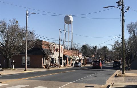 BroadwayNorth Carolina
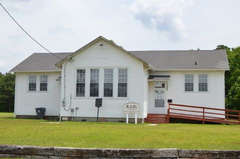 GatesvilleNorth Carolina · Est. 1830
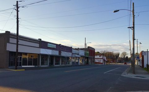 GriftonNorth Carolina
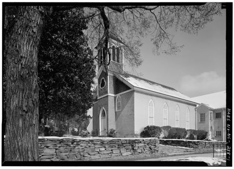 HillsboroughNorth Carolina
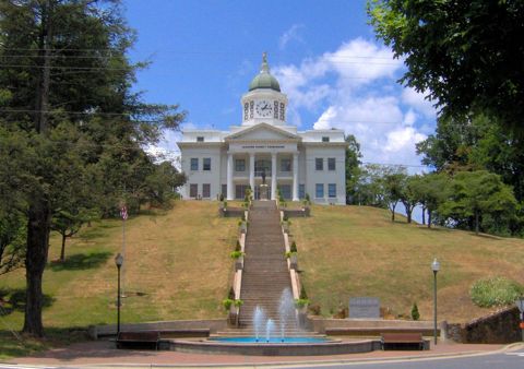 JacksonNorth Carolina
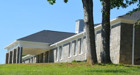 JeffersonNorth Carolina
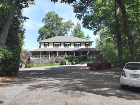 SaludaNorth Carolina · Est. 1881
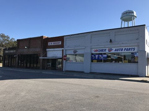 SharpsburgNorth Carolina
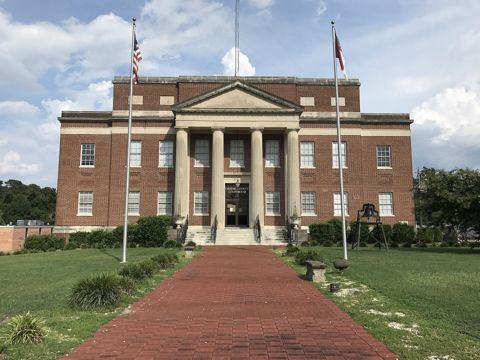 Snow HillNorth Carolina · Est. 1828
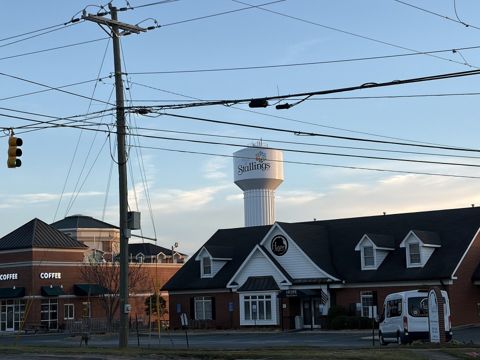 StallingsNorth Carolina · Est. 1975
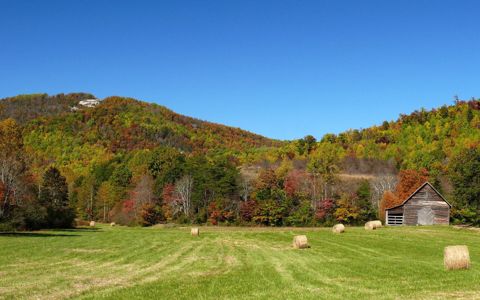 TaylorsvilleNorth Carolina · Est. 1879
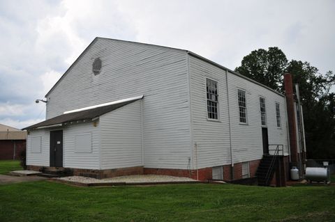 TobaccovilleNorth Carolina · Est. 1991
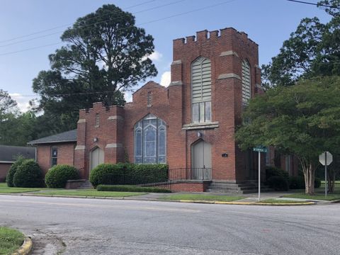 WhitakersNorth Carolina · Est. 1872
Founding years, populations and town notes come from each town's Wikipedia and Wikidata entries. All North Carolina towns.