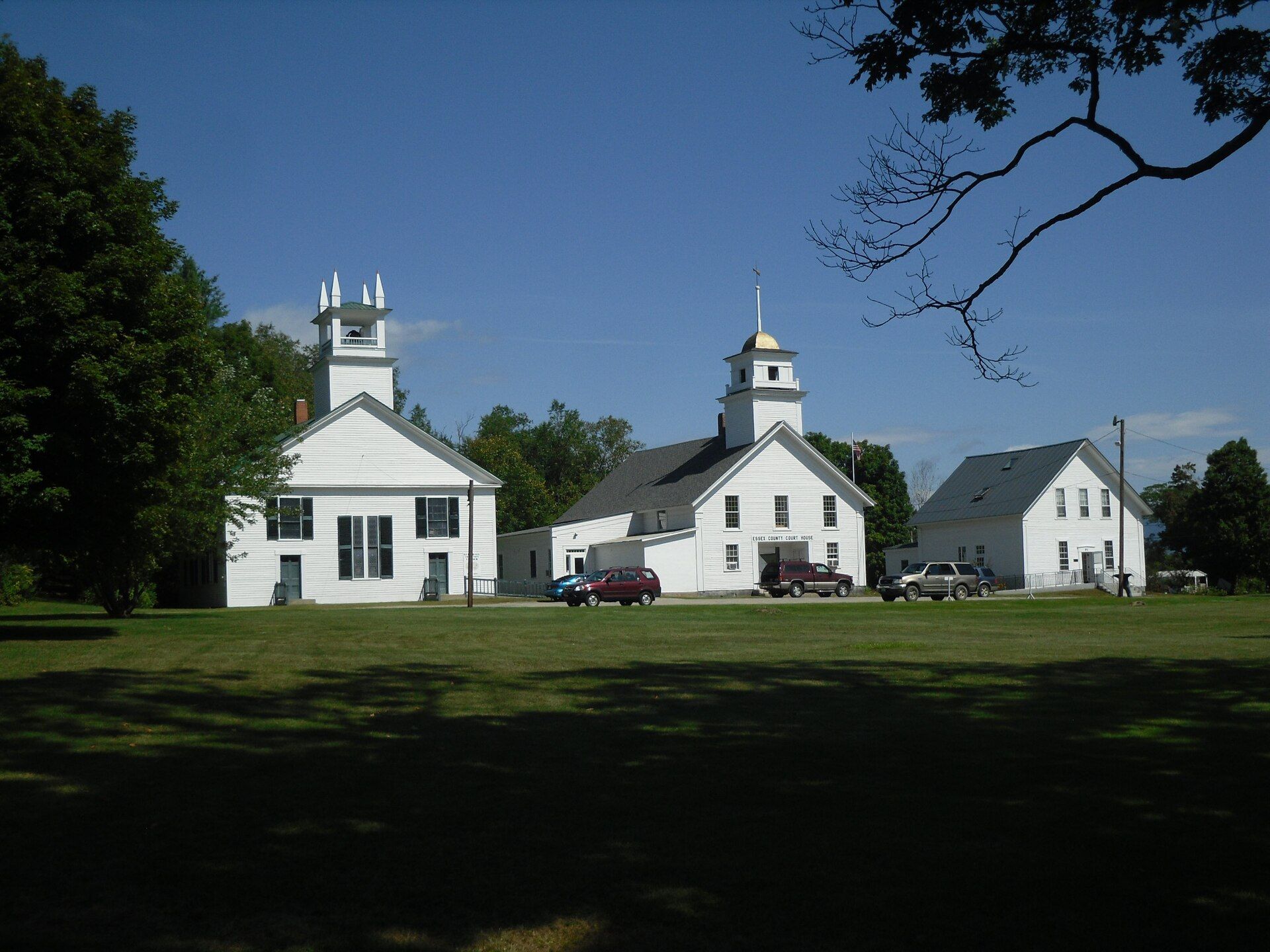
The land was regranted by Governor John Wentworth in 1771 as "Northumberland", the name derived from Northumberland in England. Landmarks include Guildhall Village Historic District, Fort Wentworth and Groveton Bridge.
Every piece is drawn from Northumberland's own map data and historic archives, then printed and shipped from the USA when you order. No two towns look alike.
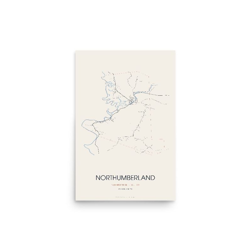
Every road in town, on archival matte paper
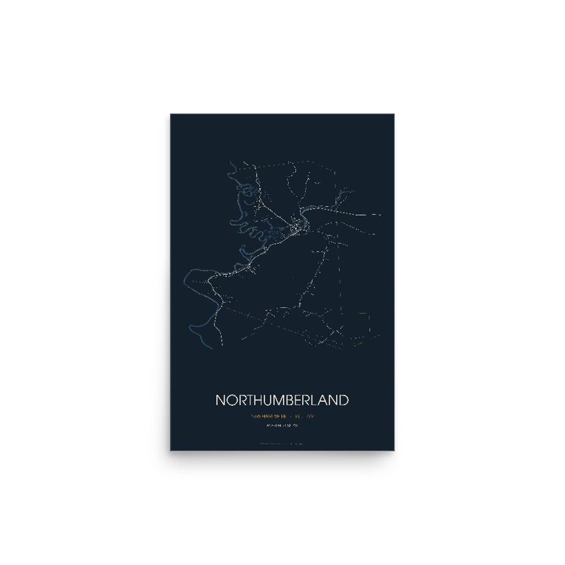
The same map, in navy and silver
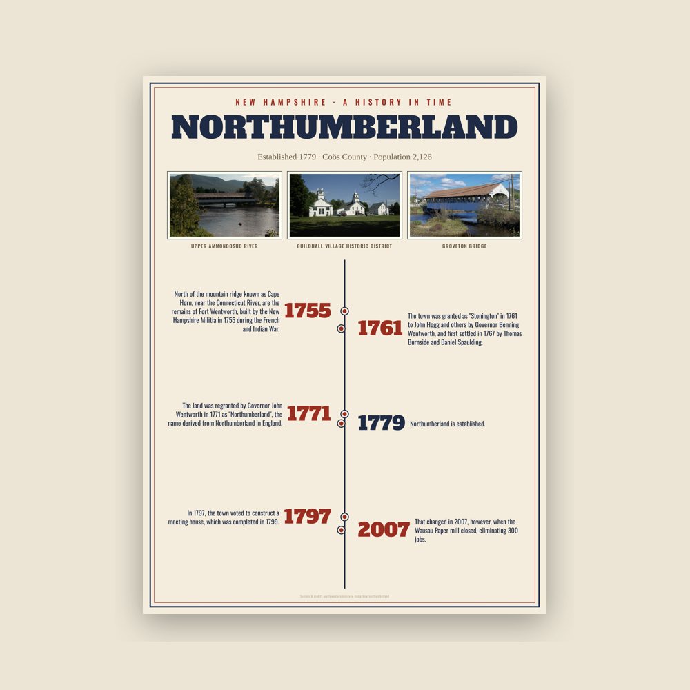
The town's story in dates, from its own records, for home or classroom
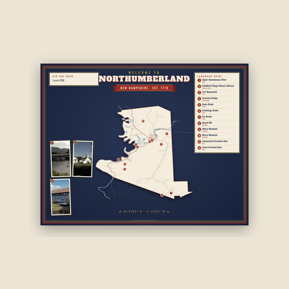
Map of local landmarks, washable fabric
Heavy-blend fleece, street map printed on the back
Soft Bella+Canvas jersey
Glossy ceramic, dishwasher safe
Ceramic keepsake, gold ribbon
Weatherproof, for the front walk
24″×16″, printed coir-look fibers, rubber back
12″×12″ printed wood, ready to hang
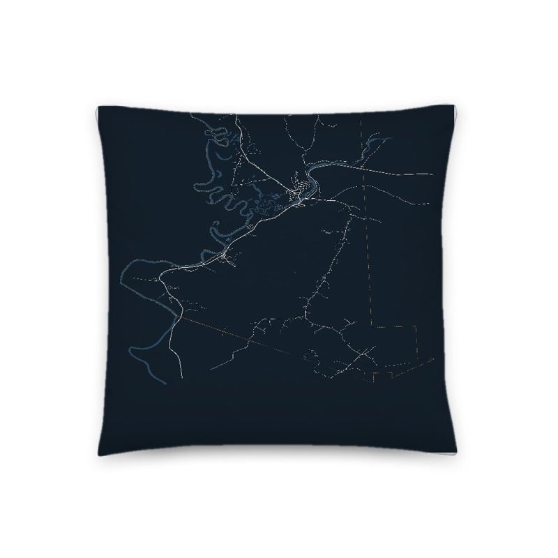
Soft-touch, zip cover
Sturdy all-over-print tote
Glossy top, cork back
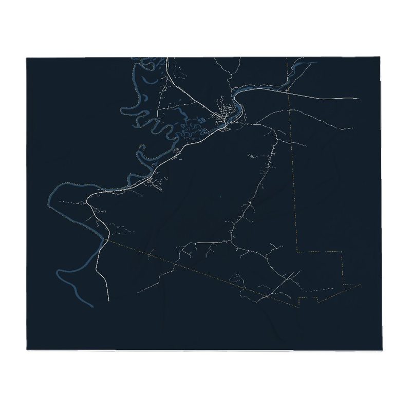
Soft fleece, 50″×60″
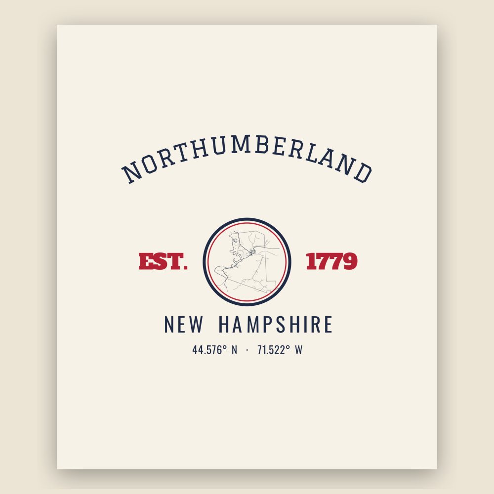
20 oz, double-wall stainless
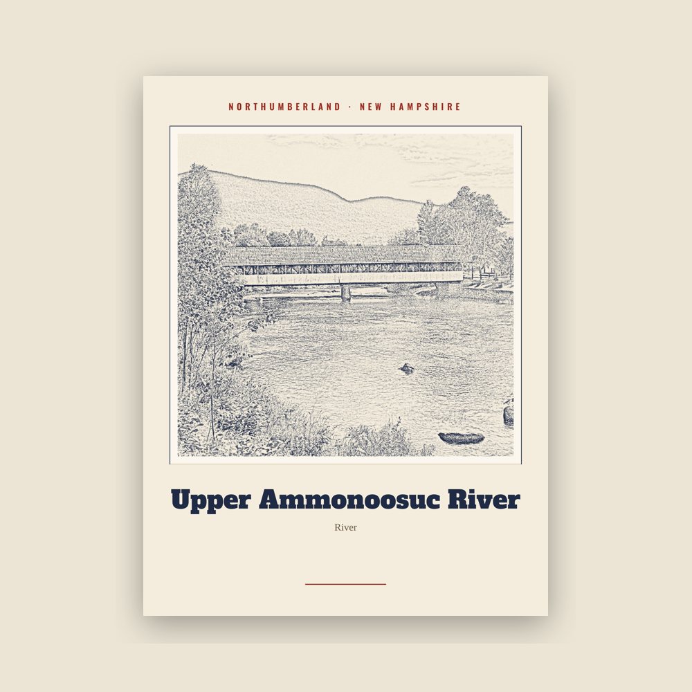
Archival matte print of a local landmark, credited to its photographer
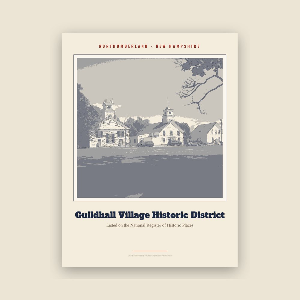
Archival matte print of a local landmark, credited to its photographer
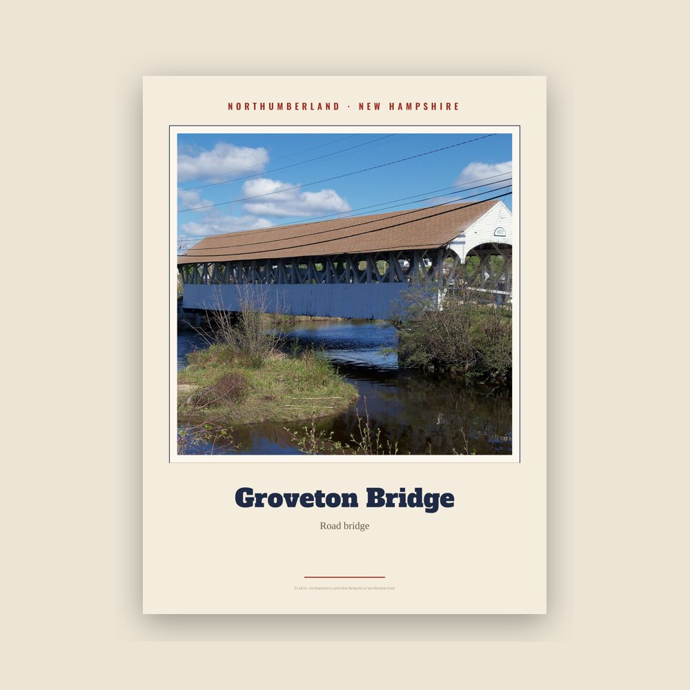
Archival matte print of a local landmark, credited to its photographer
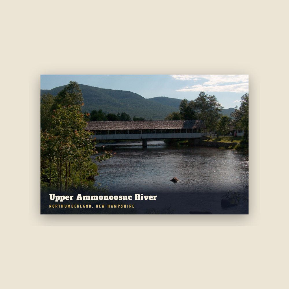
6″×4″ postcard, glossy front
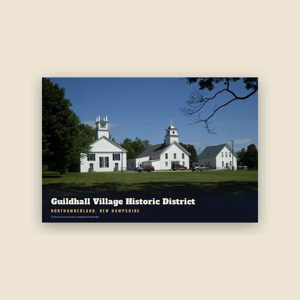
6″×4″ postcard, glossy front
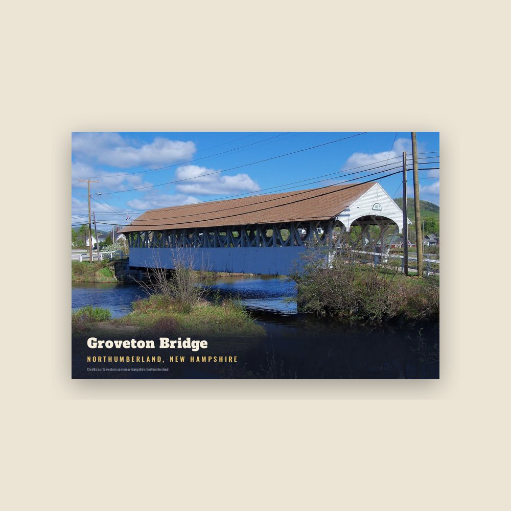
6″×4″ postcard, glossy front
Population 2010: 2,288 → 2020: 2,126
From Wikidata (CC0).
North of the mountain ridge known as Cape Horn, near the Connecticut River, are the remains of Fort Wentworth, built by the New Hampshire Militia in 1755 during the French and Indian War. The town was granted as "Stonington" in 1761 to John Hogg and others by Governor Benning Wentworth, and first settled in 1767 by Thomas Burnside and Daniel Spaulding. Burnside was a member of Rogers' Rangers.
The land was regranted by Governor John Wentworth in 1771 as "Northumberland", the name derived from Northumberland in England. The town was incorporated November 16, 1779. In 1797, the town voted to construct a meeting house, which was completed in 1799. The structure can still be found alongside U.S. Route 3.
Groveton is the northern terminus of a railroad track owned by the New Hampshire & Vermont Railroad, where it intersects the St. Lawrence & Atlantic Railroad. This was formerly the junction of the Grand Trunk Railway and the Boston, Concord & Montreal Railroad—a major point of access for the northern White Mountains.
The area was once known for its large corn and potato crop, starch mills, and manufacturing (leather, shoe pegs). More recently, the town economy centered on the lumber industry. That changed in 2007, however, when the Wausau Paper mill closed, eliminating 300 jobs.
Adapted (trimmed) from the Wikipedia article Northumberland, New Hampshire, revision 1377237102 by its contributors, licensed CC BY-SA 4.0.
We share a part of every Northumberland sale with local partners, and we'd love to print from your collection. Old photographs, maps and postcards make the best keepsakes.
Partner with us