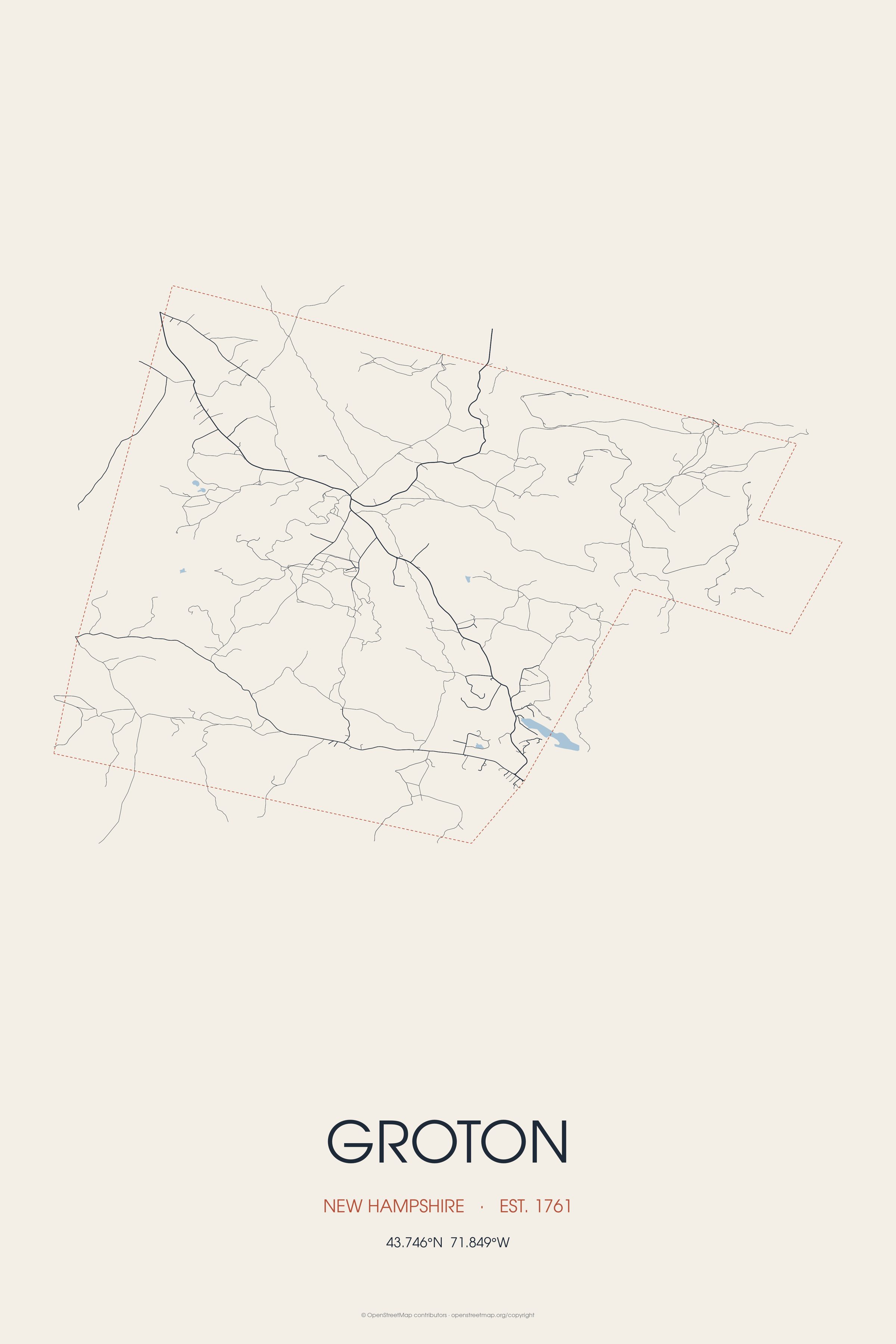
Groton's surface is uneven, although farmers found the soil arable for growing corn and potatoes. Landmarks include Sculptured Rocks Natural Area and WPNH-FM. Groton is the birthplace of Augustus P. Hunton, politician.
Every piece is drawn from Groton's own map data and historic archives, then printed and shipped from the USA when you order. No two towns look alike.
Every road in town, on archival matte paper
The same map, in navy and silver
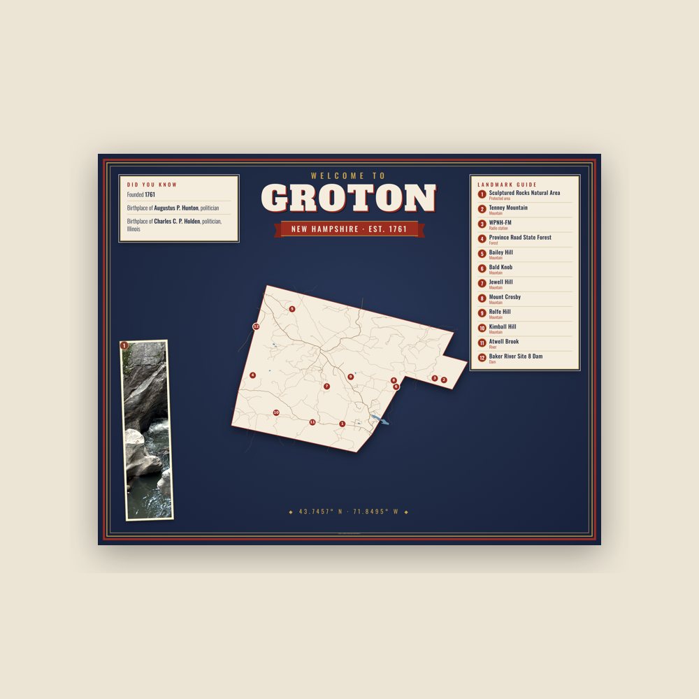
Map of local landmarks, washable fabric
Heavy-blend fleece, street map printed on the back
Soft Bella+Canvas jersey
Glossy ceramic, dishwasher safe
Ceramic keepsake, gold ribbon
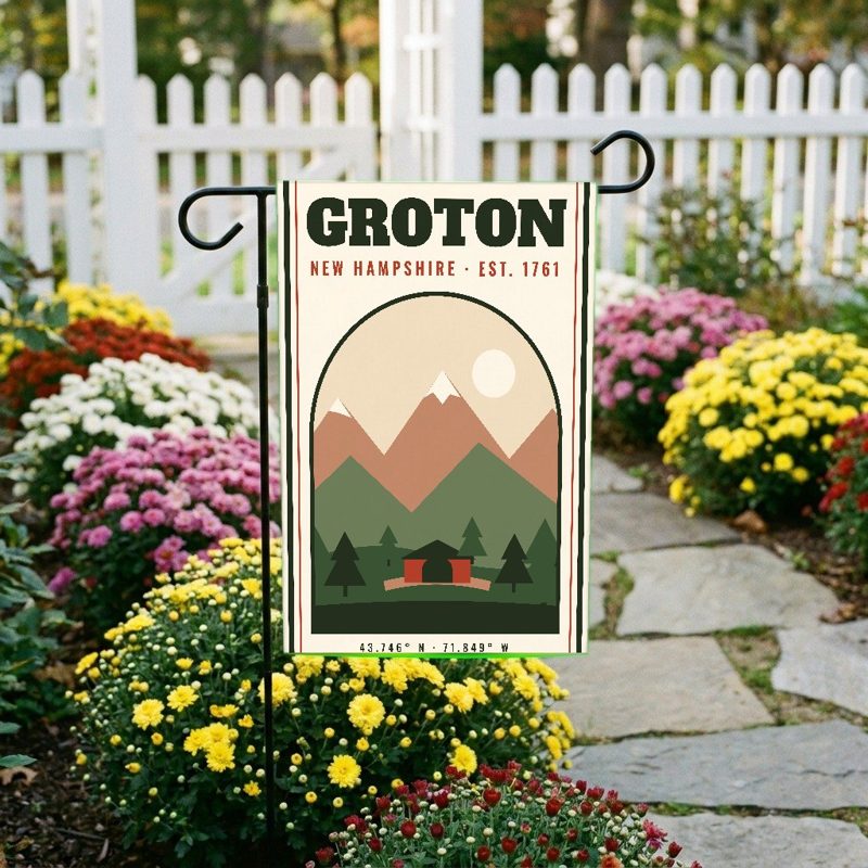
Weatherproof, for the front walk
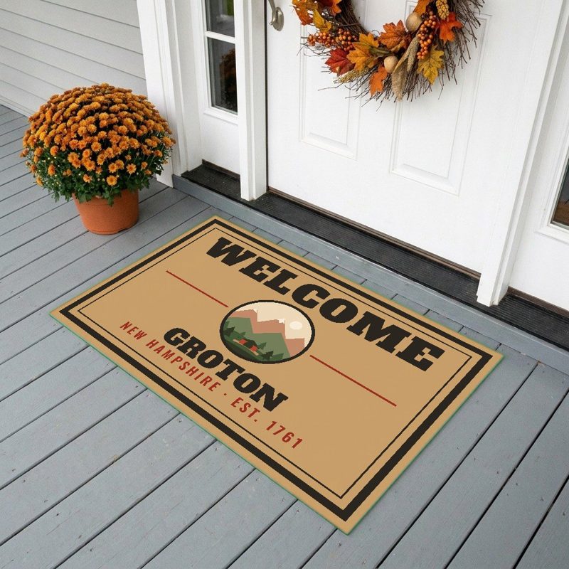
24″×16″, printed coir-look fibers, rubber back
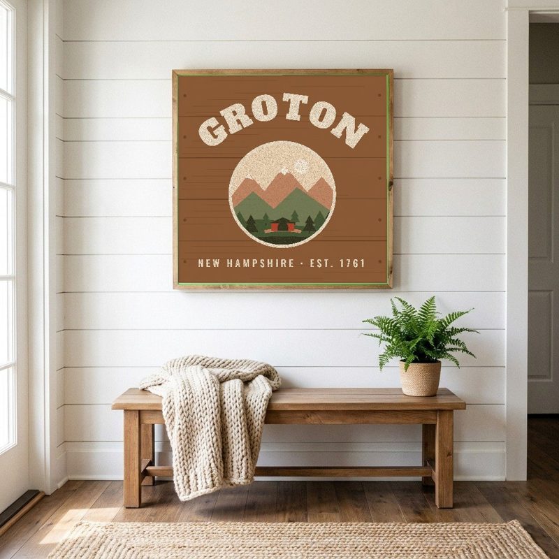
12″×12″ printed wood, ready to hang
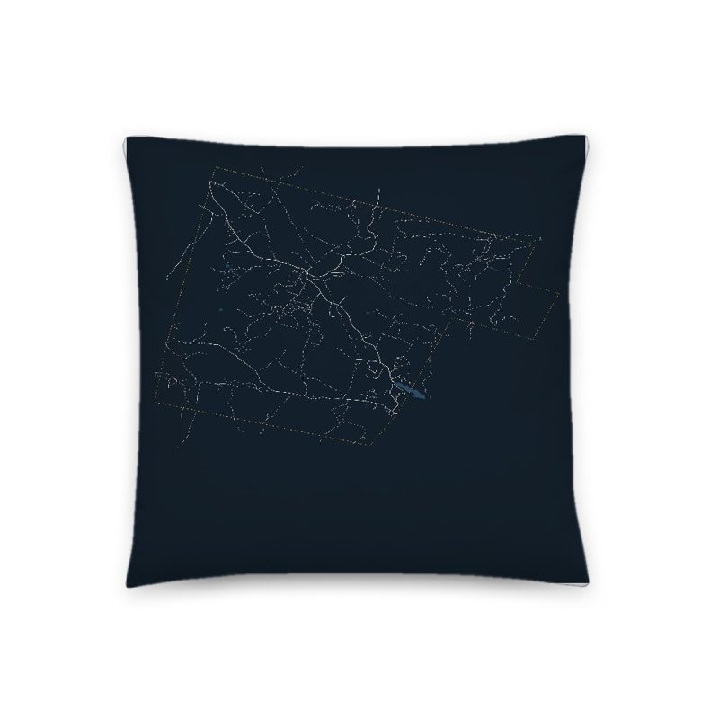
Soft-touch, zip cover
Sturdy all-over-print tote
Glossy top, cork back
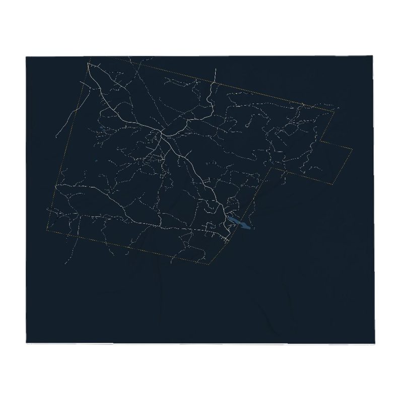
Soft fleece, 50″×60″
20 oz, double-wall stainless
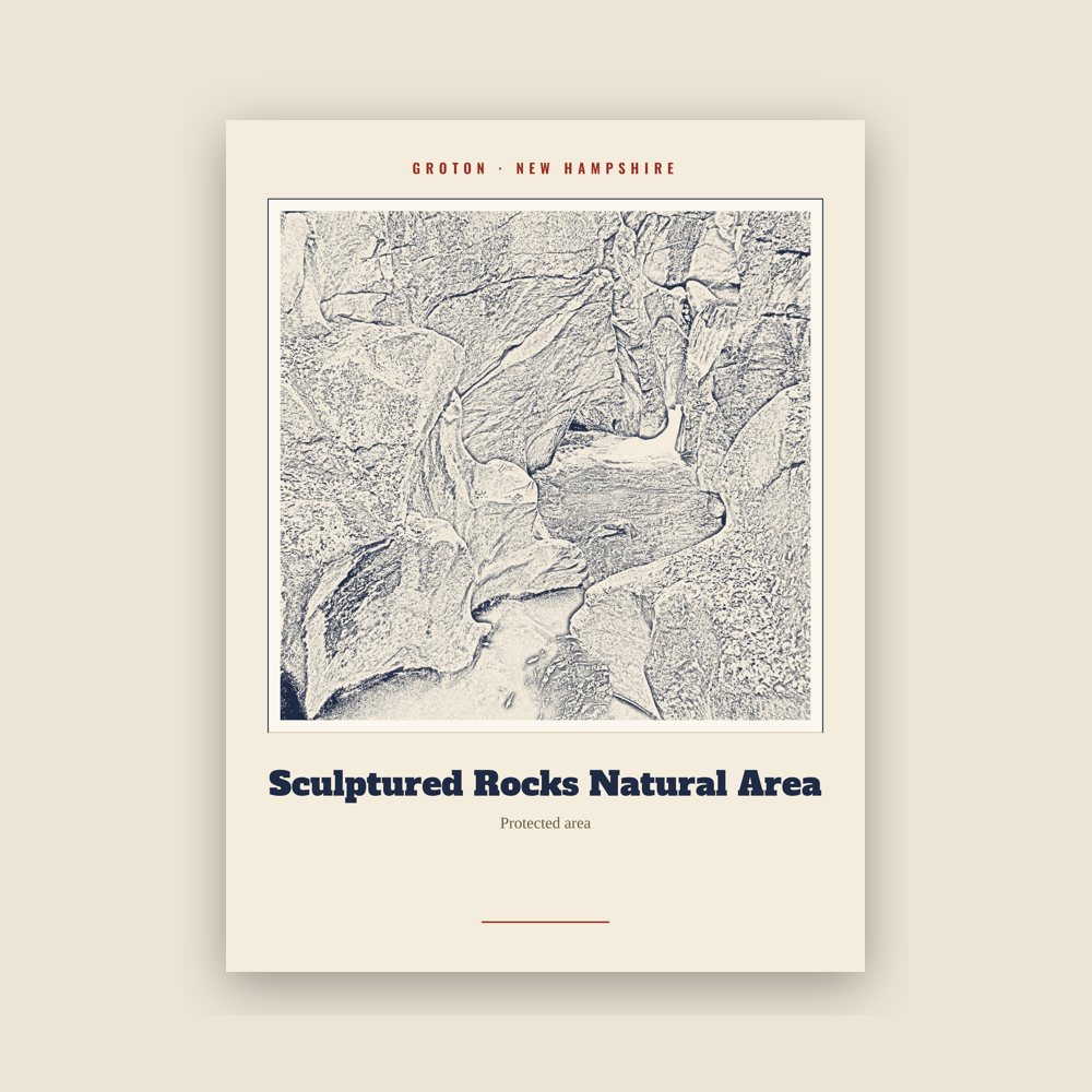
Archival matte print of a local landmark, credited to its photographer
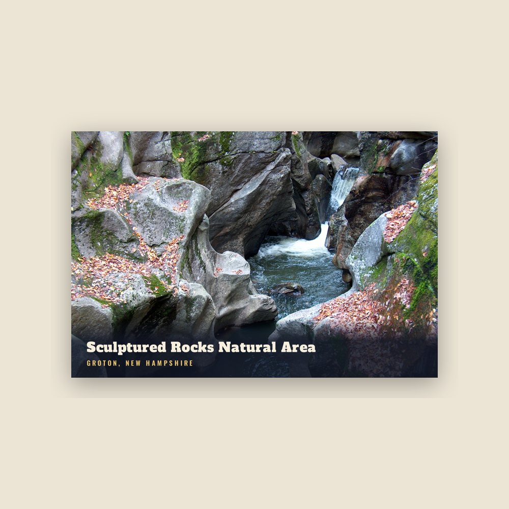
6″×4″ postcard, glossy front
It was originally named "Cockermouth" in honor of Charles Wyndham, Baron Cockermouth and Earl of Egremont, who was Great Britain's Secretary of State for the Southern Department from 1761 to 1763. Due to non-settlement the land was regranted in 1766, then renewed in 1772. In 1796, one of the later grantees, Samuel Blood, succeeded in renaming the town after his hometown, Groton, Massachusetts.
Groton's surface is uneven, although farmers found the soil arable for growing corn and potatoes. A branch of the Baker River in the north, together with several small streams feeding Newfound Lake in the south, provided water power for mills. By 1859, when the population was 776, there were ten sawmills, two gristmills, and a shingle and clapboard manufacturer. Although not open to the public, the Palermo Mine in North Groton is noted for its minerals.
Adapted (trimmed) from the Wikipedia article Groton, New Hampshire, revision 1378799862 by its contributors, licensed CC BY-SA 4.0.
We share a part of every Groton sale with local partners, and we'd love to print from your collection. Old photographs, maps and postcards make the best keepsakes.
Partner with us