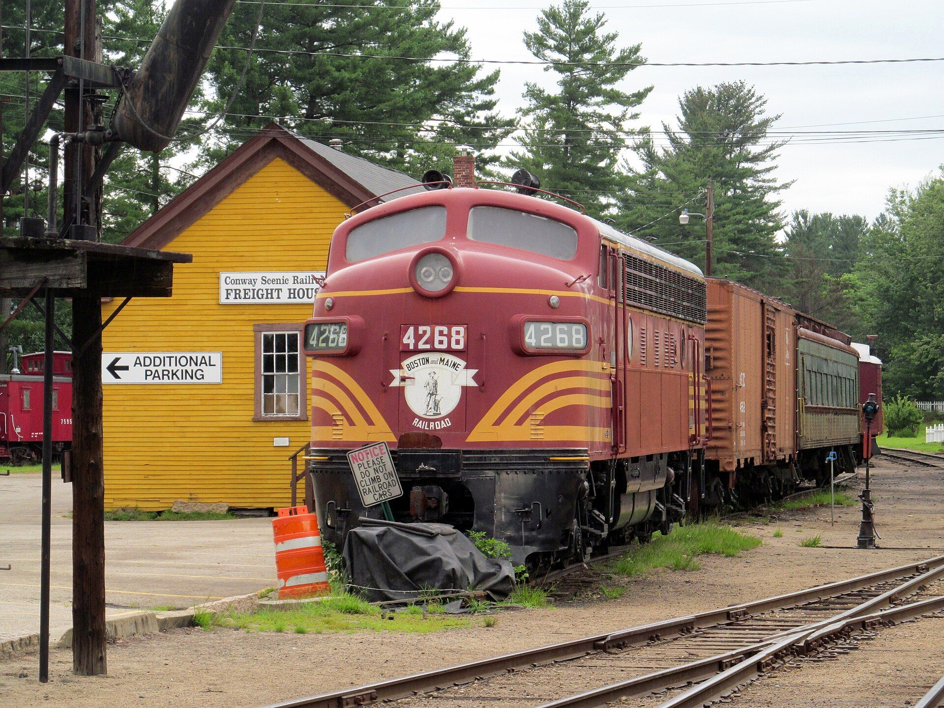
There are five villages in the town: Conway, North Conway, Center Conway, Redstone and Kearsarge. Landmarks include North Conway station, Conway Scenic Railroad and Eastern Slope Inn. Conway is the birthplace of Abbi Fisher, alpine skier.
Every piece is drawn from Conway's own map data and historic archives, then printed and shipped from the USA when you order. No two towns look alike.
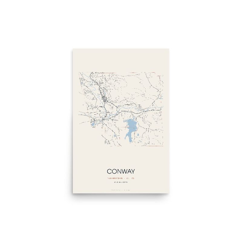
Every road in town, on archival matte paper
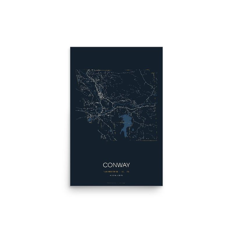
The same map, in navy and silver
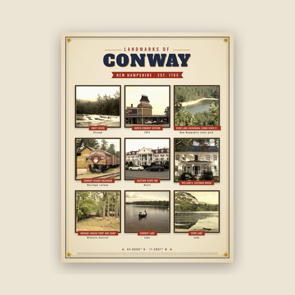
Nine local landmarks, archival matte
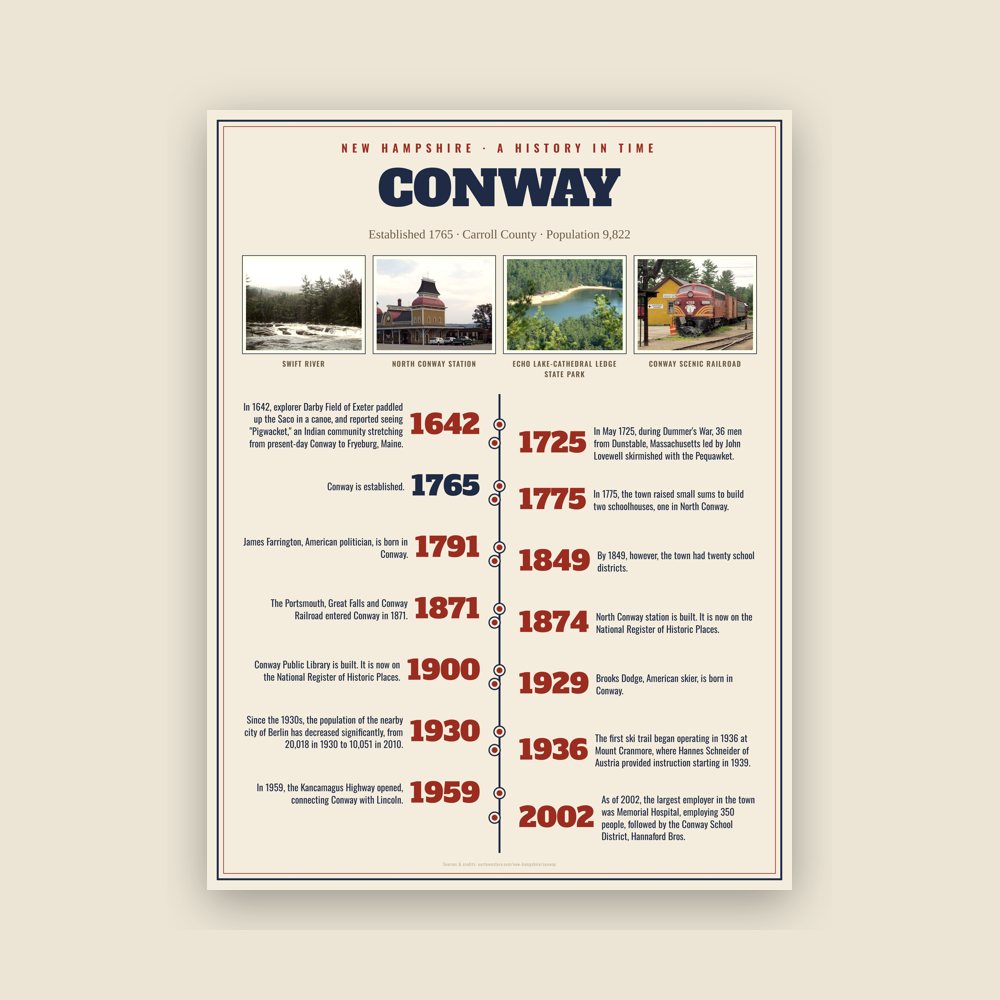
The town's story in dates, from its own records, for home or classroom
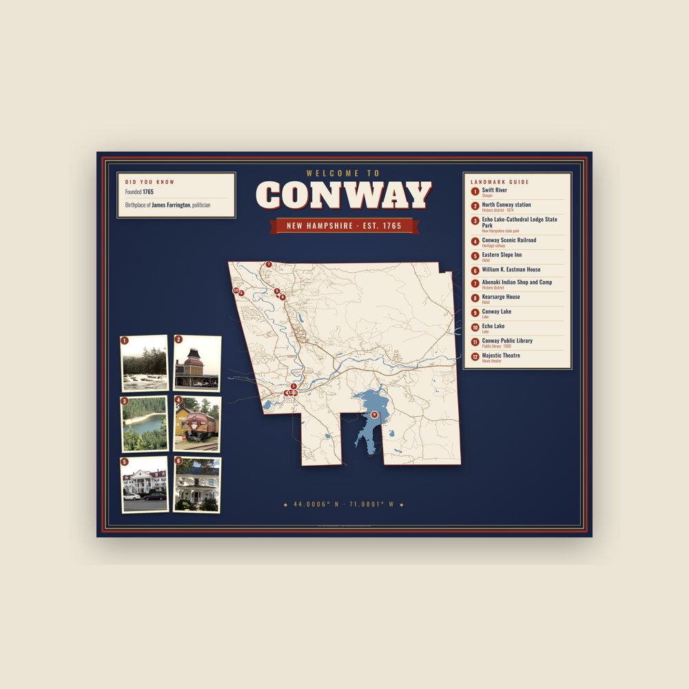
Map of local landmarks, washable fabric
Heavy-blend fleece, street map printed on the back
Soft Bella+Canvas jersey
Glossy ceramic, dishwasher safe
Ceramic keepsake, gold ribbon
Weatherproof, for the front walk
24″×16″, printed coir-look fibers, rubber back
12″×12″ printed wood, ready to hang
Soft-touch, zip cover
Sturdy all-over-print tote
Glossy top, cork back
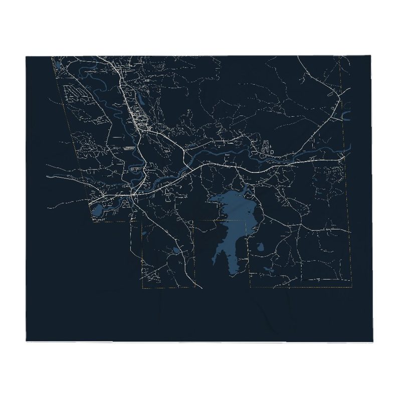
Soft fleece, 50″×60″
20 oz, double-wall stainless
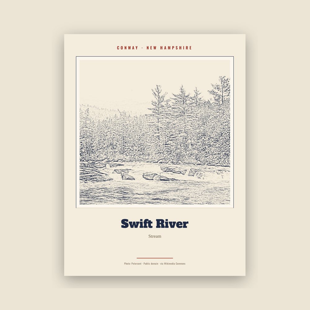
Archival matte print of a local landmark, credited to its photographer
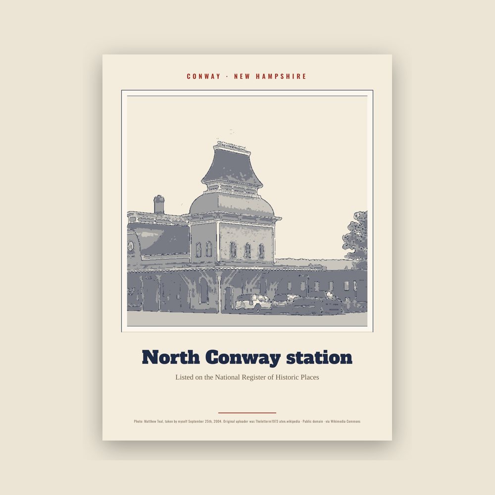
Archival matte print of a local landmark, credited to its photographer
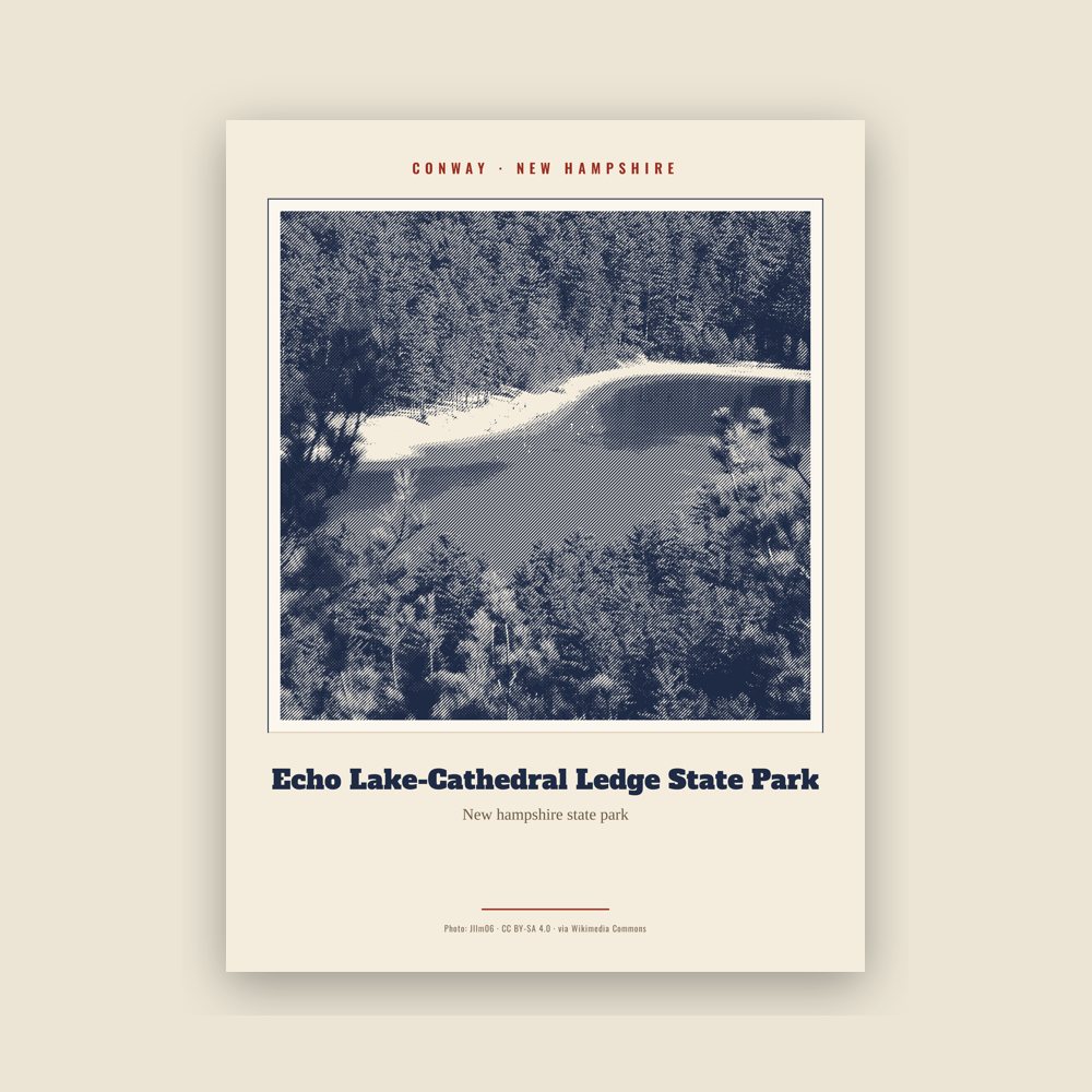
Archival matte print of a local landmark, credited to its photographer
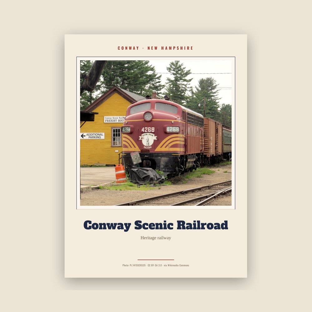
Archival matte print of a local landmark, credited to its photographer
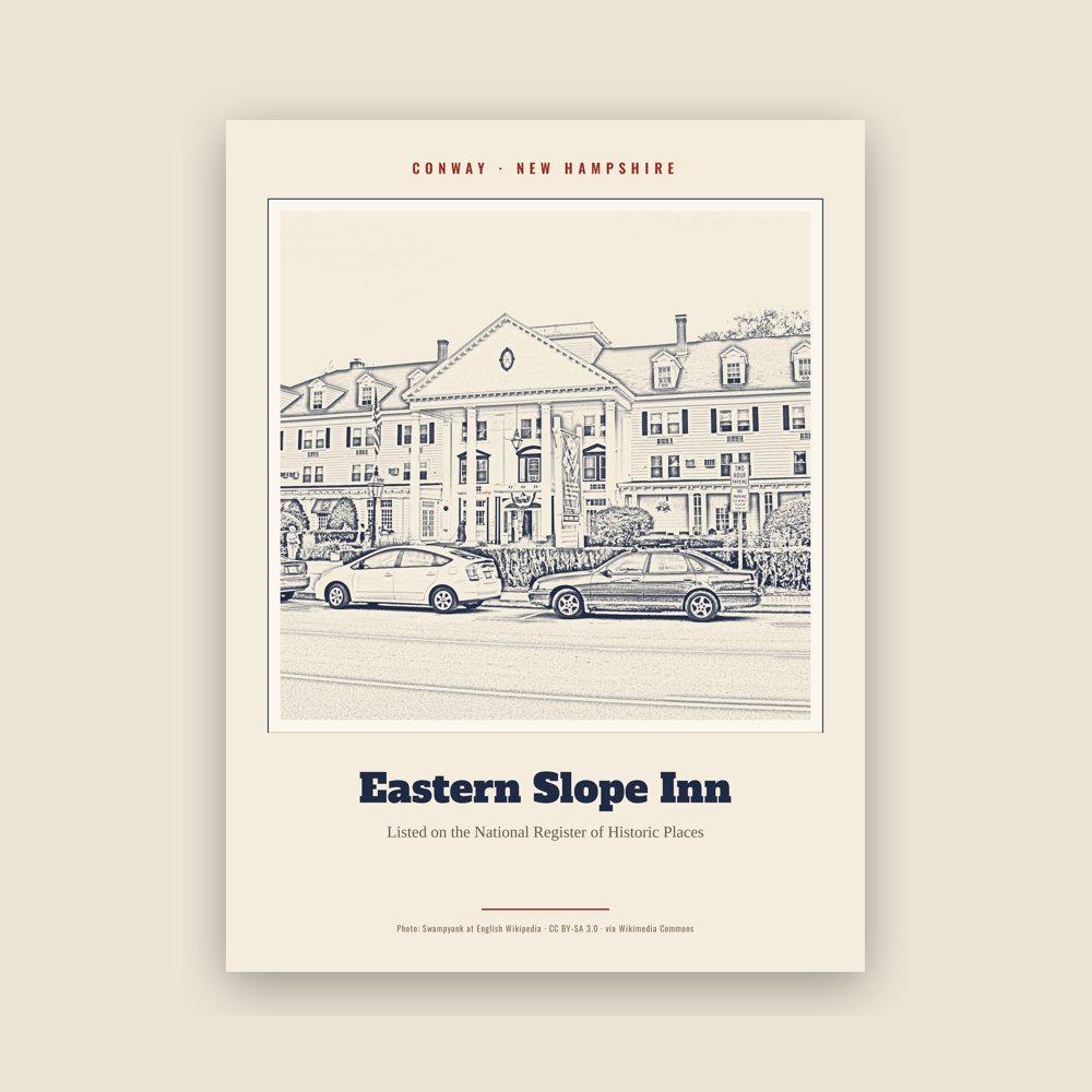
Archival matte print of a local landmark, credited to its photographer
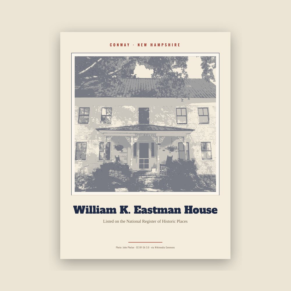
Archival matte print of a local landmark, credited to its photographer
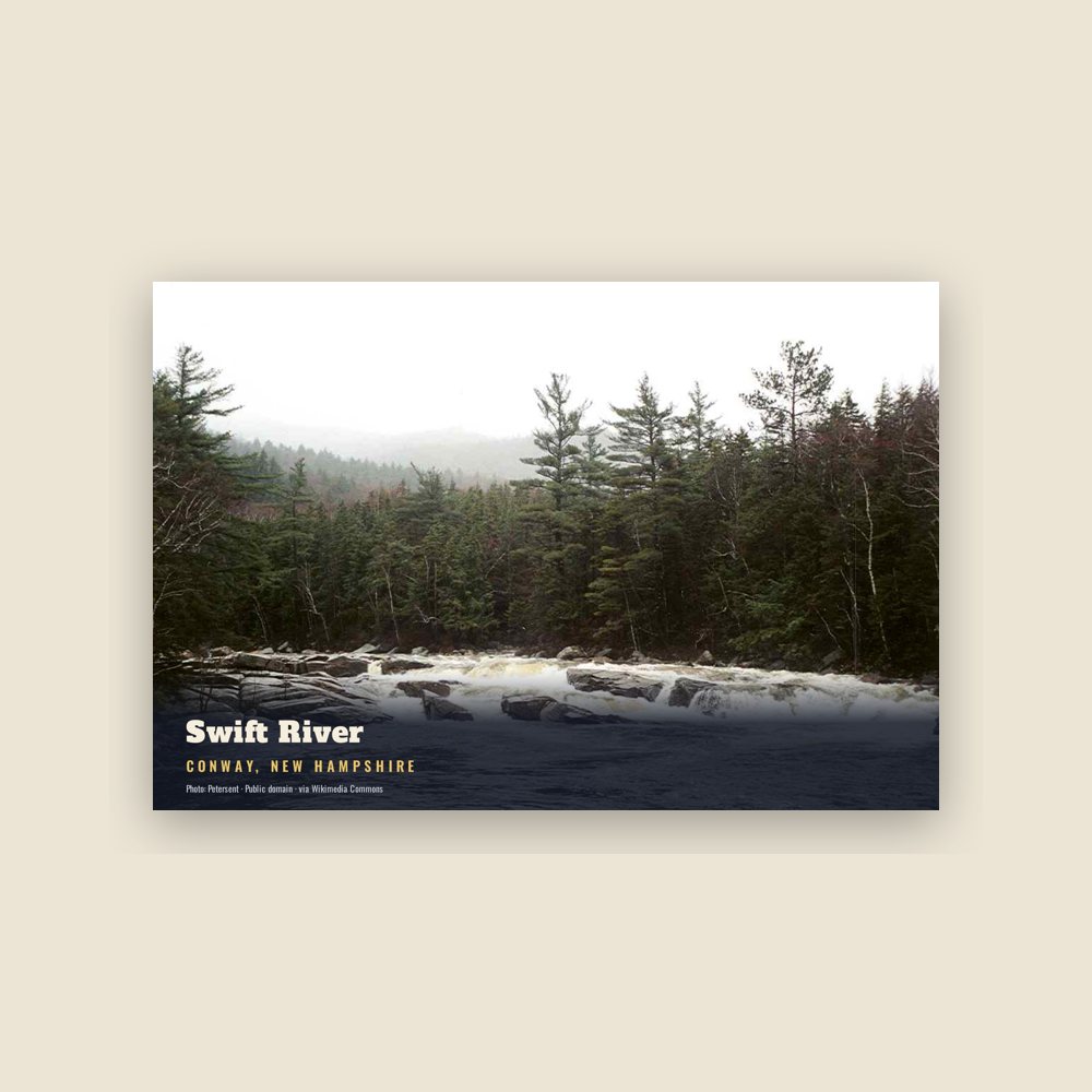
6″×4″ postcard, glossy front
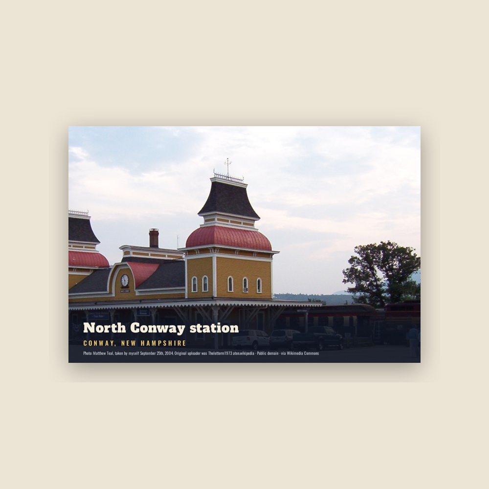
6″×4″ postcard, glossy front
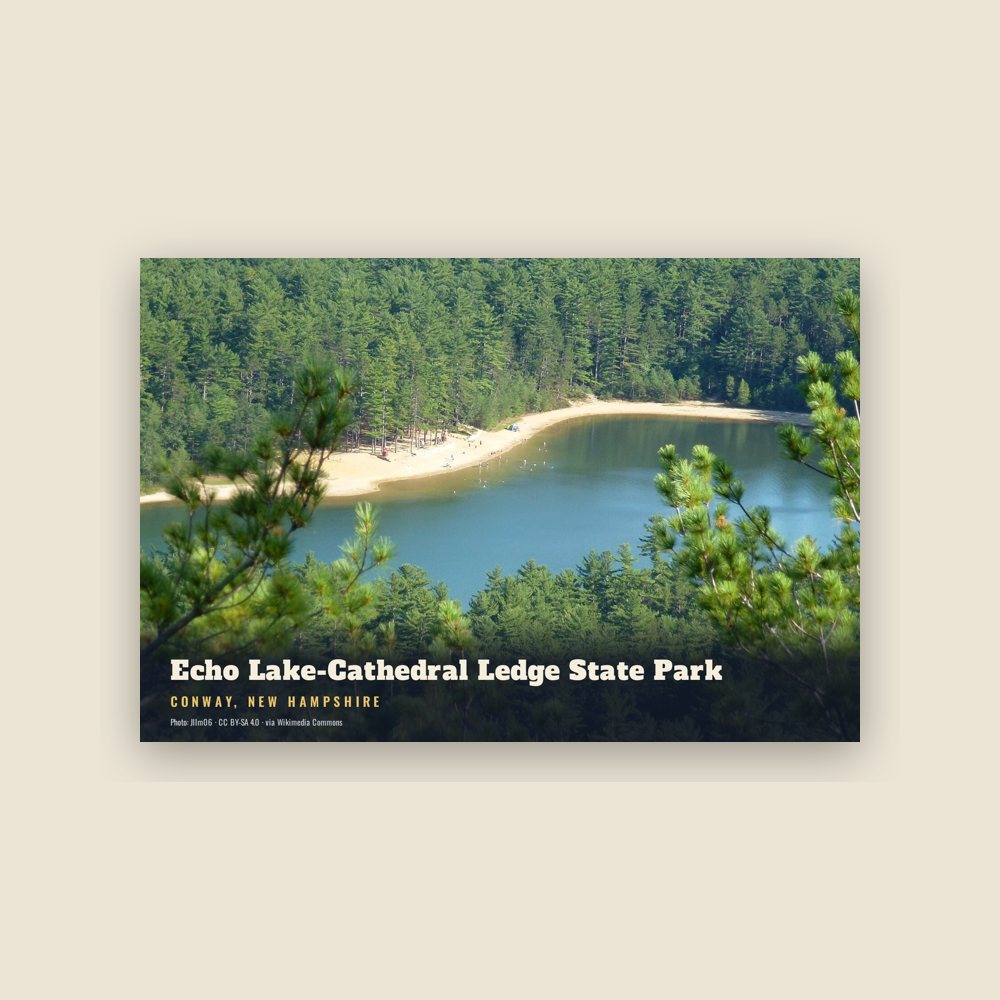
6″×4″ postcard, glossy front
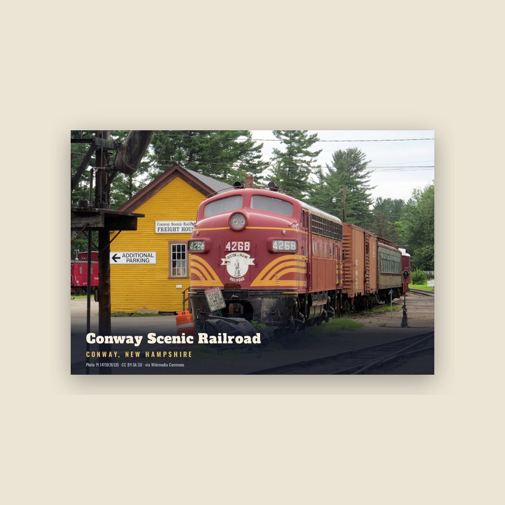
6″×4″ postcard, glossy front
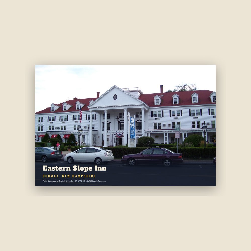
6″×4″ postcard, glossy front
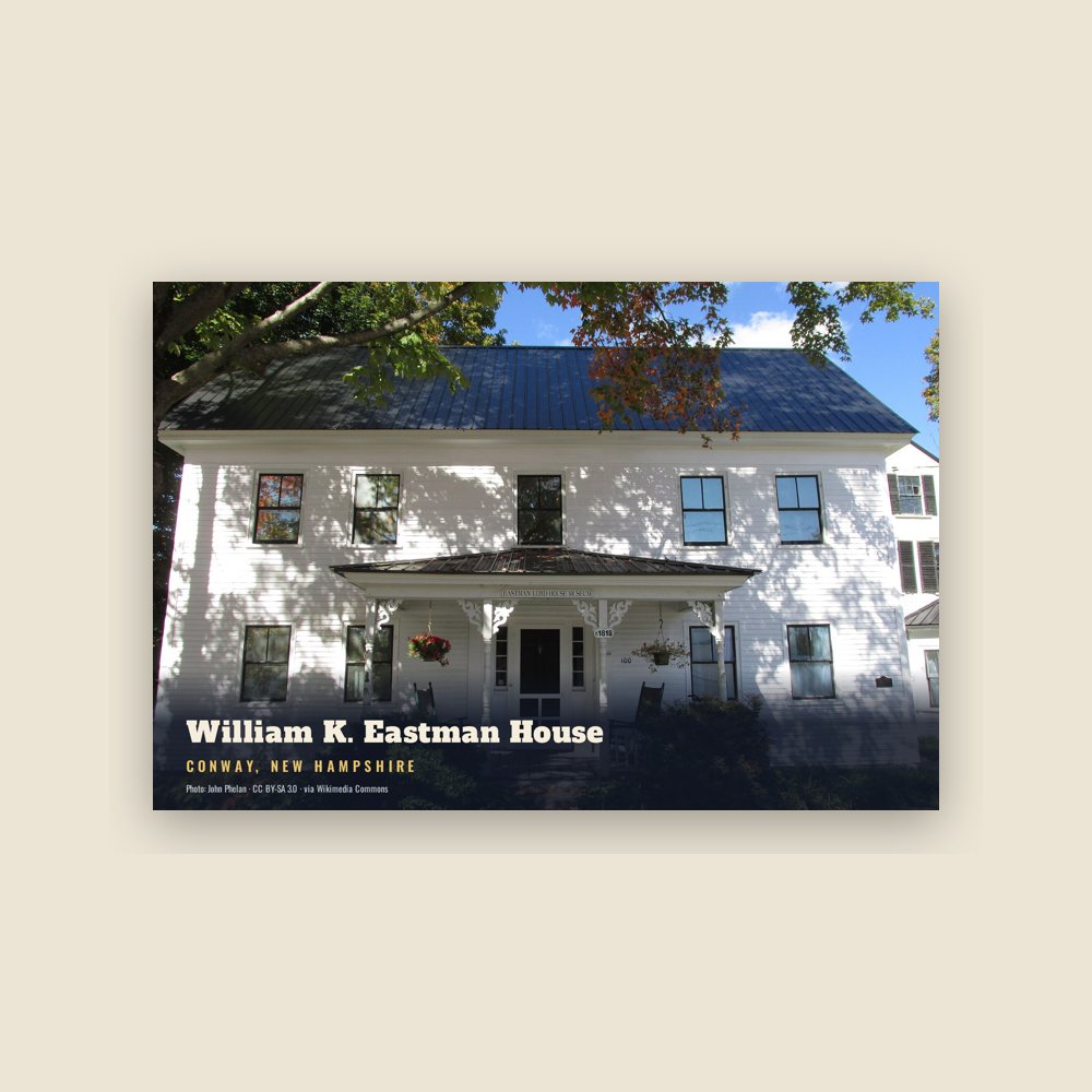
6″×4″ postcard, glossy front
Population 2010: 10,115 → 2020: 9,822
From Wikidata (CC0).
The region was once home to the Pequawket Indians, an Algonquian Abenaki tribe. Along the Saco River they fished, hunted or farmed, and lived in wigwams sheltered within stockades. In 1642, explorer Darby Field of Exeter paddled up the Saco in a canoe, and reported seeing "Pigwacket," an Indian community stretching from present-day Conway to Fryeburg, Maine. The Pequawket tribe dwindled from disease, probably smallpox brought from abroad. In May 1725, during Dummer's War, 36 men from Dunstable, Massachusetts led by John Lovewell skirmished with the Pequawket. The Pequawket losses are not known but the result of the day's battle was the withdrawal of the tribe from the area.
In 1765, colonial Governor Benning Wentworth chartered sixty-five men to establish "Conway", named for Henry Seymour Conway, who was later named Commander in Chief of the British Army. To keep his land, a settler had to plant 5 acres (20,000 m2) for every fifty in his share, and to do it within five years. The first roads were built in 1766. Construction of the first meetinghouse began at Redstone. Never completed, it could only be used in summer, with services held whenever a minister visited. Eventually, the partly finished meetinghouse was moved to Center Conway. In 1775, the town raised small sums to build two schoolhouses, one in North Conway. By 1849, however, the town had twenty school districts.
By the middle-19th century, artists had discovered the romantic beauties of the White Mountains, and "Artist Falls Brook" became a favorite setting for landscape paintings. King Edward VII of the United Kingdom bought twelve White Mountain paintings to hang in Windsor Castle. Among the artists to work here were Asher B. Durand and Benjamin Champney, the latter known to paint Mount Washington while sitting in the middle of Main Street.
The Portsmouth, Great Falls and Conway Railroad entered Conway in 1871. The railroad was bought by the Boston & Maine, and joined in town by rival Maine Central. They transported freight, mostly wood and wood products, away from Conway, and they brought tourists. Numerous inns and taverns were built in the 19th and 20th centuries, and tourism remains today a principal business. The first ski trail began operating in 1936 at Mount Cranmore, where Hannes Schneider of Austria provided instruction starting in 1939. In 1959, the Kancamagus Highway opened, connecting Conway with Lincoln. It travels through Kancamagus Pass, named for a Pennacook chief, and at 2,850 feet (870 m) above sea level is the highest paved through-road in New Hampshire.
Since the 1930s, the population of the nearby city of Berlin has decreased significantly, from 20,018 in 1930 to 10,051 in 2010. This decline, coupled with the population increase in Conway and the surrounding community, has led to higher levels of economic development in the Conway area than the rest of northern New Hampshire. Conway has both a tourism-based economy and service economy. As of 2002, the largest employer in the town was Memorial Hospital, employing 350 people, followed by the Conway School District, Hannaford Bros. Co., Red Jacket Resorts, and Walmart.
Adapted (trimmed) from the Wikipedia article Conway, New Hampshire, revision 1378544518 by its contributors, licensed CC BY-SA 4.0.
We share a part of every Conway sale with local partners, and we'd love to print from your collection. Old photographs, maps and postcards make the best keepsakes.
Partner with us