Our Town Store
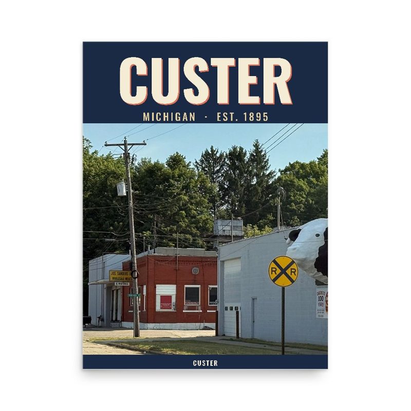
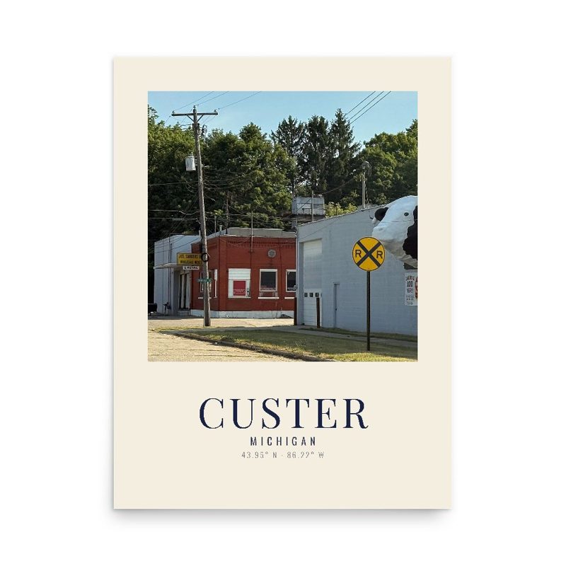
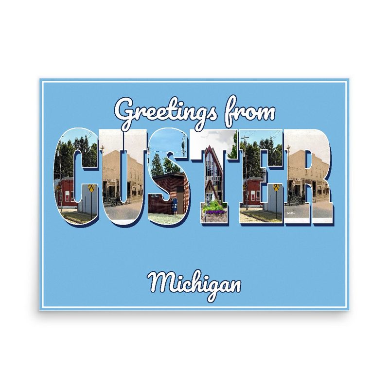
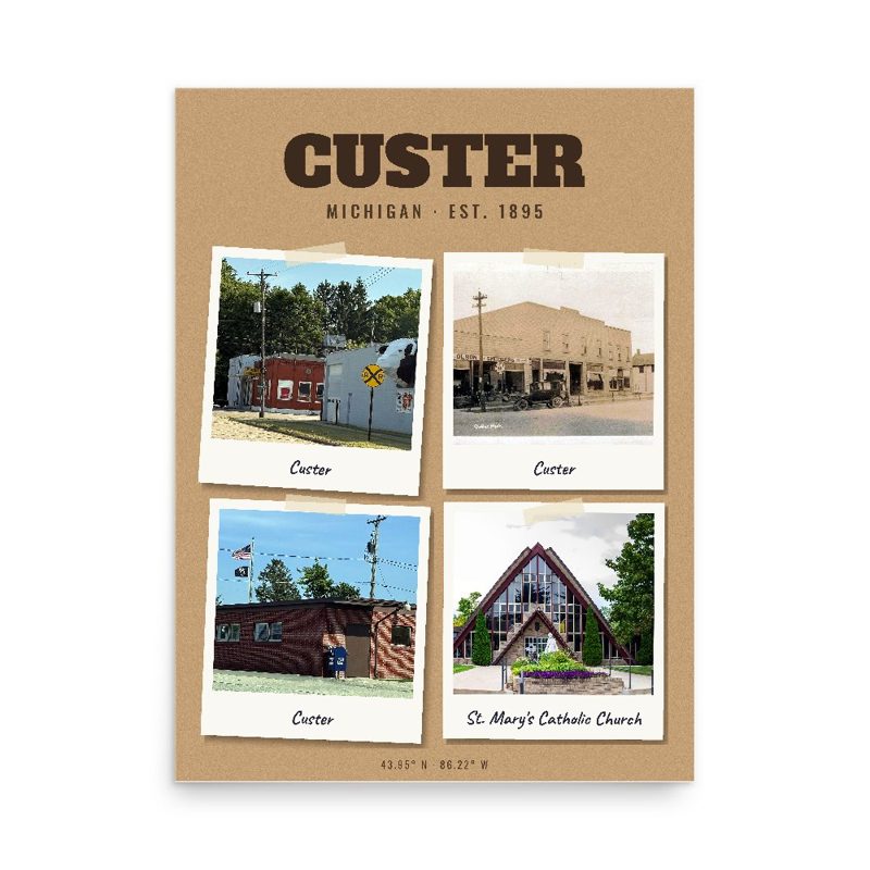
Header photo: Site Plan: Master Plan, Fort Custer, Michigan, Reservation Boundary and Land Use Map. USACOE, 31 December 1954 - Fort Custer Military Reservation, Bounded by Territorial, Dickman, & Longman Roads & Route 94 Business, Battle Creek, Calhoun County, MI, Historic American Buildings Survey, Library of Congress (public domain). Product photos via Wikimedia Commons: St. Mary's Catholic Church: rossograph, CC BY-SA 4.0; Custer: WMrapids, CC0; Custer: Unknown, Public domain; Custer: WMrapids, CC0. Timeline text quoted from Wikipedia (CC BY-SA 4.0). Archive prints: Library of Congress, no known restrictions.
Shop About Partners Link to us Shipping Returns Privacy Terms YouTube hello@ourtownstore.com
Map data © OpenStreetMap contributors (ODbL). Town history from Wikipedia (CC BY-SA 4.0). Not affiliated with the Town of Custer.