Our Town Store
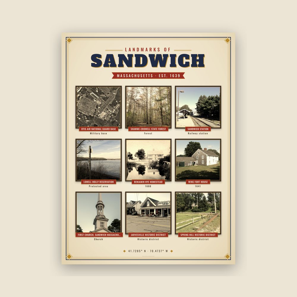
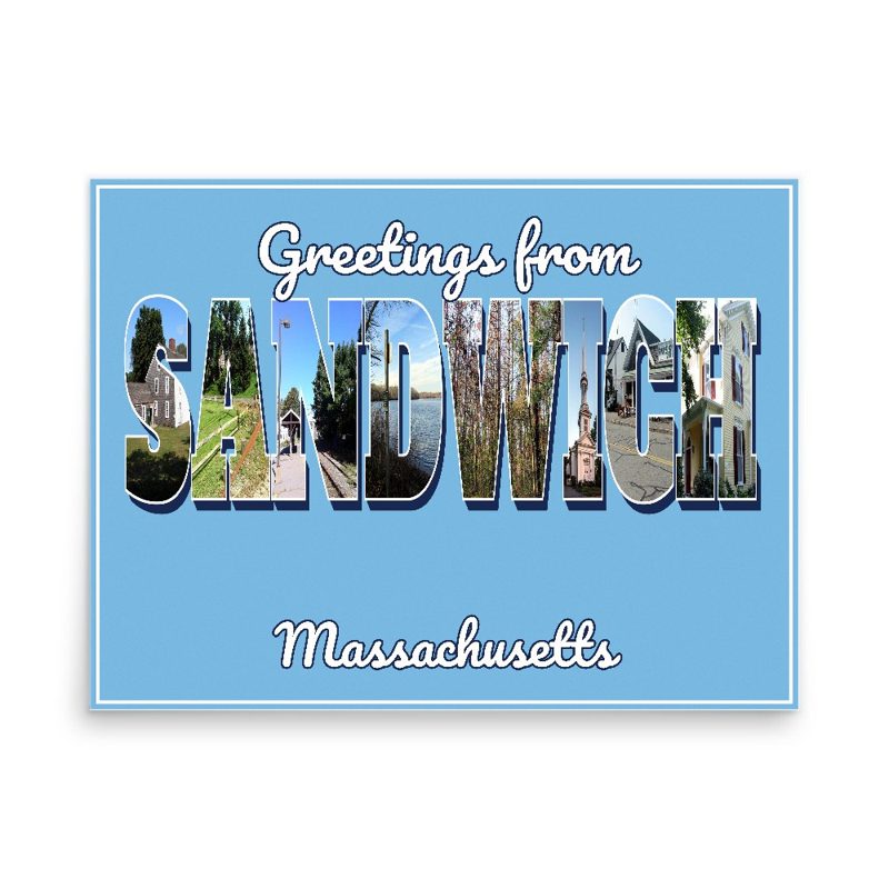
Header photo: Nye House, King's Highway (U.S. Route 6), East Sandwich, Barnstable County, MA, Historic American Buildings Survey, Library of Congress (public domain). Product photos via Wikimedia Commons: Otis Air National Guard Base: United States Geological Survey (USGS), Public domain; Shawme-Crowell State Forest: John Phelan, CC BY-SA 3.0; Sandwich station: Andrewrabbott, CC BY-SA 3.0; Lowell Holly Reservation: John Phelan, CC BY-SA 3.0; Benjamin Nye Homestead: Unknown authorUnknown author, Public domain; Wing Fort House: RadPal, CC BY-SA 3.0; Hoxie House: Andrewrabbott, CC BY-SA 3.0; First Church, Sandwich Massachusetts: Kenneth C. Zirkel, CC BY-SA 4.0; John and Mary Waterman Jarves House: RadPal, CC BY-SA 3.0; Jarvesville Historic District: RadPal, CC BY-SA 3.0; Spring Hill Historic District: RadPal, CC BY-SA 3.0. Timeline text quoted from Wikipedia (CC BY-SA 4.0). Archive prints: Library of Congress, no known restrictions.
Shop About Partners Link to us Shipping Returns Privacy Terms YouTube hello@ourtownstore.com
Map data © OpenStreetMap contributors (ODbL). Town history from Wikipedia (CC BY-SA 4.0). Not affiliated with the Town of Sandwich.