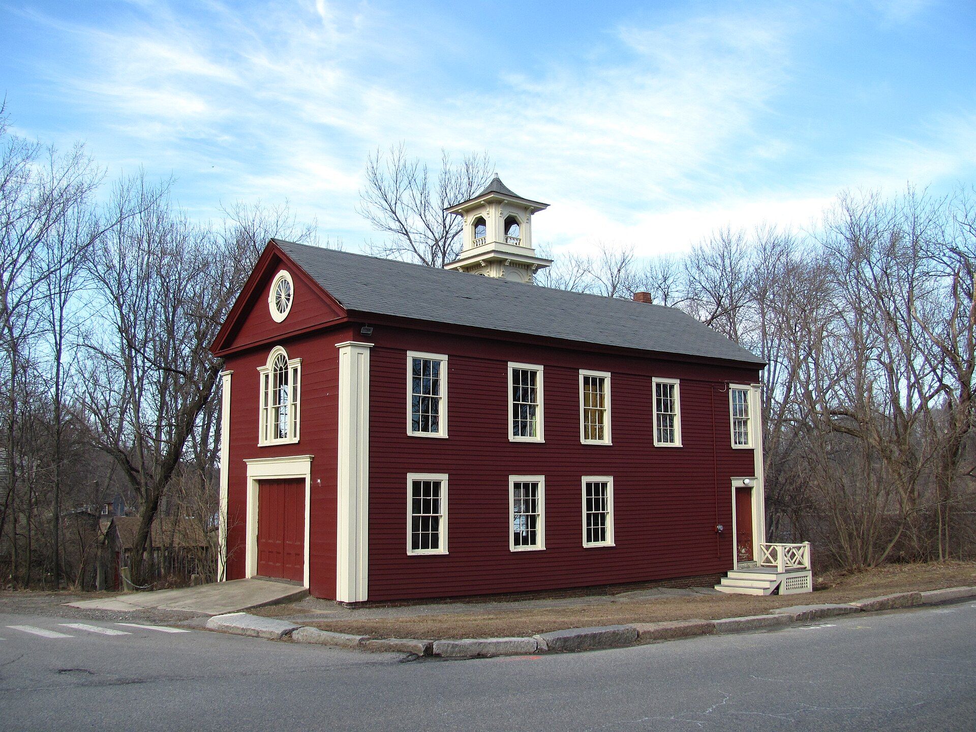
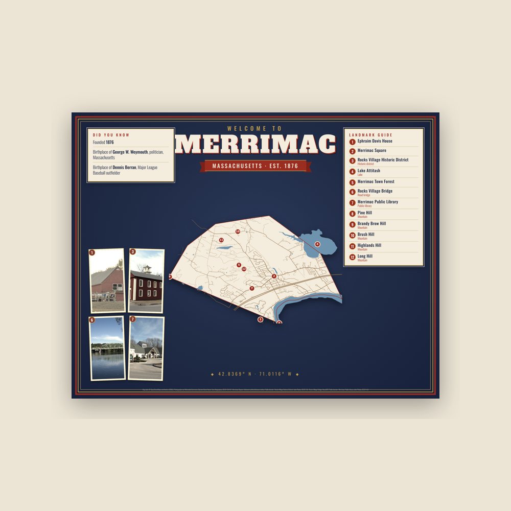
Merrimac is a small town in Essex County, Massachusetts, United States, located on the southeastern border of New Hampshire, approximately 34 miles northeast of Boston and 10 miles west of the Atlantic Ocean. Landmarks include Ephraim Davis House, Merrimac Square and Rocks Village Historic District. Merrimac is the birthplace of George W. Weymouth, politician, Massachusetts.
Every piece is drawn from Merrimac's own map data and historic archives, then printed and shipped from the USA when you order. No two towns look alike.
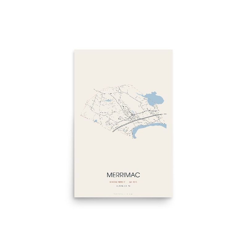
Every road in town, on archival matte paper
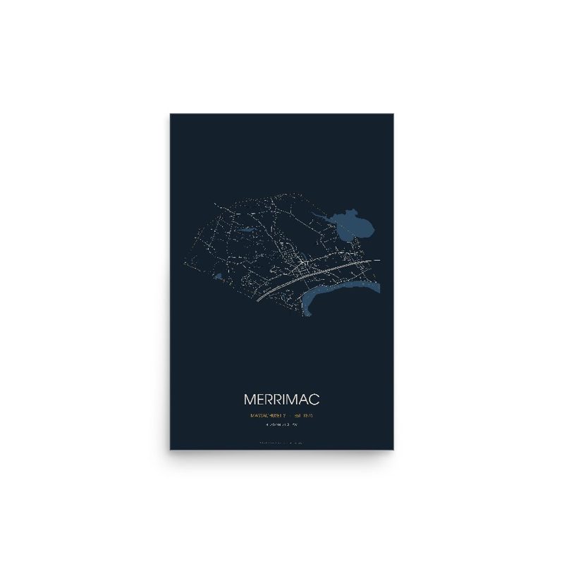
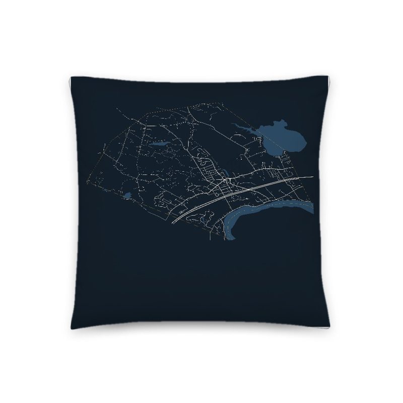
The same map, in navy and silver
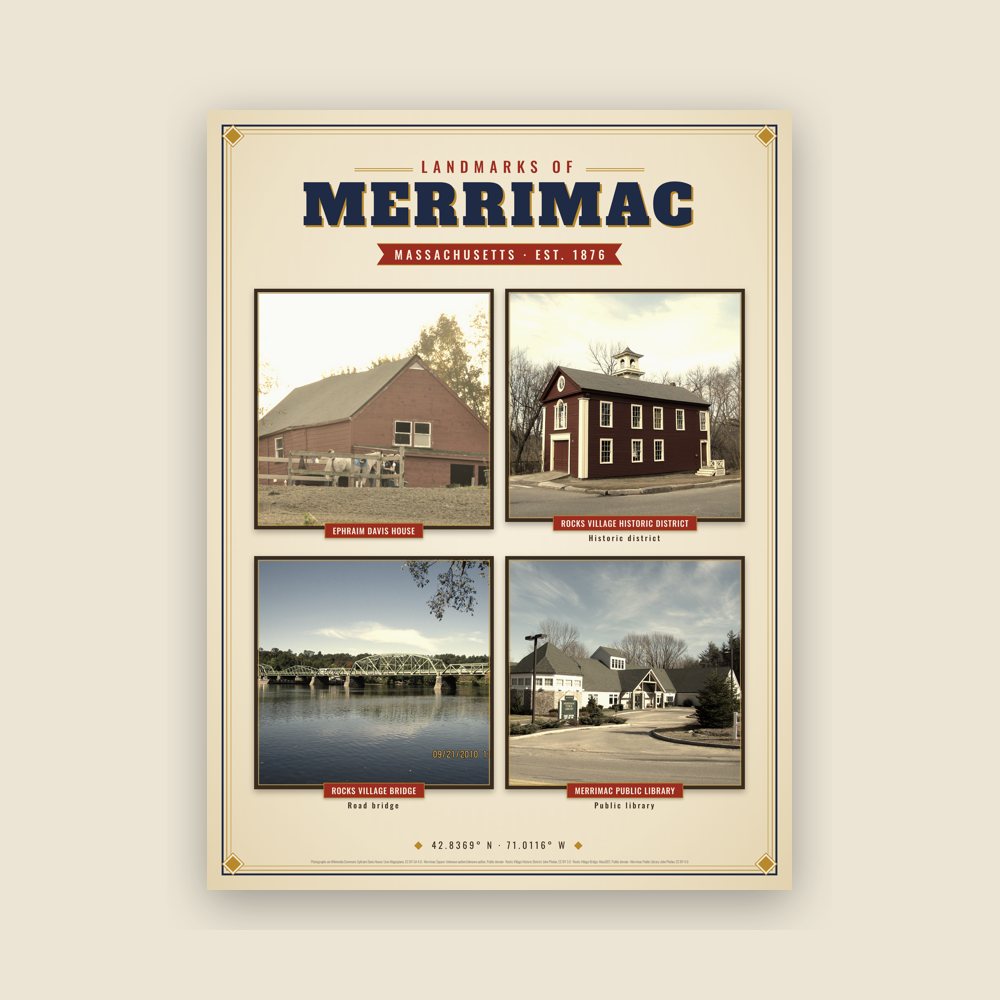
Nine local landmarks, archival matte
Map of local landmarks, washable fabric
Heavy-blend fleece, street map printed on the back
Soft Bella+Canvas jersey
Glossy ceramic, dishwasher safe
Ceramic keepsake, gold ribbon
Weatherproof, for the front walk
Soft-touch, zip cover
Sturdy all-over-print tote
Glossy top, cork back
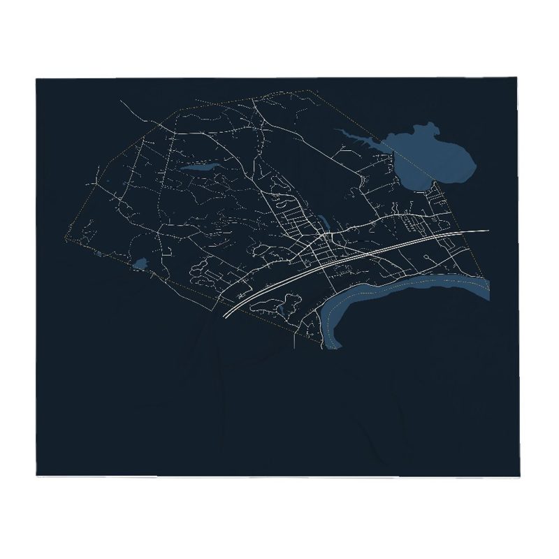
Soft fleece, 50″×60″
20 oz, double-wall stainless
Population 2010: 6,338 → 2020: 6,723
From Wikidata (CC0).
Settled by the English in 1638 as a part of Salisbury and later as a part of Amesbury around the village of Merrimacport, it was known throughout the seventeenth and eighteenth centuries as an agricultural and fishing community, with a small amount of shipbuilding. When Amesbury separated from Salisbury in 1666, Merrimac was referred to as the West Parish of Amesbury, or simply West Amesbury, although it was unincorporated. When a border dispute between the Massachusetts and New Hampshire colonies was settled in 1741, the new border sliced off the parts of Amesbury that were further from the Merrimack River, with the area then associated with West Amesbury becoming the "new town" of Newton, New Hampshire.
In 1771, the West Parish of Amesbury (present-day Merrimac) had a population of at least four enslaved Africans. They were held in bondage by town residents Isaac Merrill, Benjamin Morse, and Wells Chase. At least one former enslaved African, "Forte," who was sold by an unknown West Newbury slaver to Christopher Sargent, became locally famous for his fiddling after the abolition of slavery in Massachusetts.
In the nineteenth century, benefiting from a manufacturing boom following the establishment of some of the first planned industrial cities in the United States, nearby Lawrence and Lowell, Merrimac came to be known worldwide for its horse-drawn carriage industry. During this period, the town proper of Merrimac, centered around Merrimac Square, expanded separately from the village of Merrimacport. In 1876, Merrimac, including Merrimacport, separated from Amesbury and officially incorporated itself as a town. It is believed that the town, as well as the river that runs along its southern border, are both named for the American Indian tribe that occupied the region. "Merrimac" (or Merrimack) means "swift water place" in the language of this tribe. This town center consists of the typical brick buildings and Victorian architecture of the late nineteenth century, and it is surrounded by much of the town's population. Interstate 495 now divides Merrimacport from Merrimac. At the beginning of the twentieth century, as with the rest of the New England, it went through a period of deindustrialization as the region's industry relocated to the Midwest. The communities of the Merrimack Valley, including Merrimac, were particularly affected by this long period of economic decline and have never fully recovered.
Today, Merrimac is a typical small New England community. It went through numerous growth spurts throughout the 1990s and the beginning of the twenty-first century as it was absorbed into the Lawrence metropolitan area.
Adapted (trimmed) from the Wikipedia article Merrimac, Massachusetts, revision 1374541420 by its contributors, licensed CC BY-SA 4.0.
We share a part of every Merrimac sale with local partners, and we'd love to print from your collection. Old photographs, maps and postcards make the best keepsakes.
Partner with us