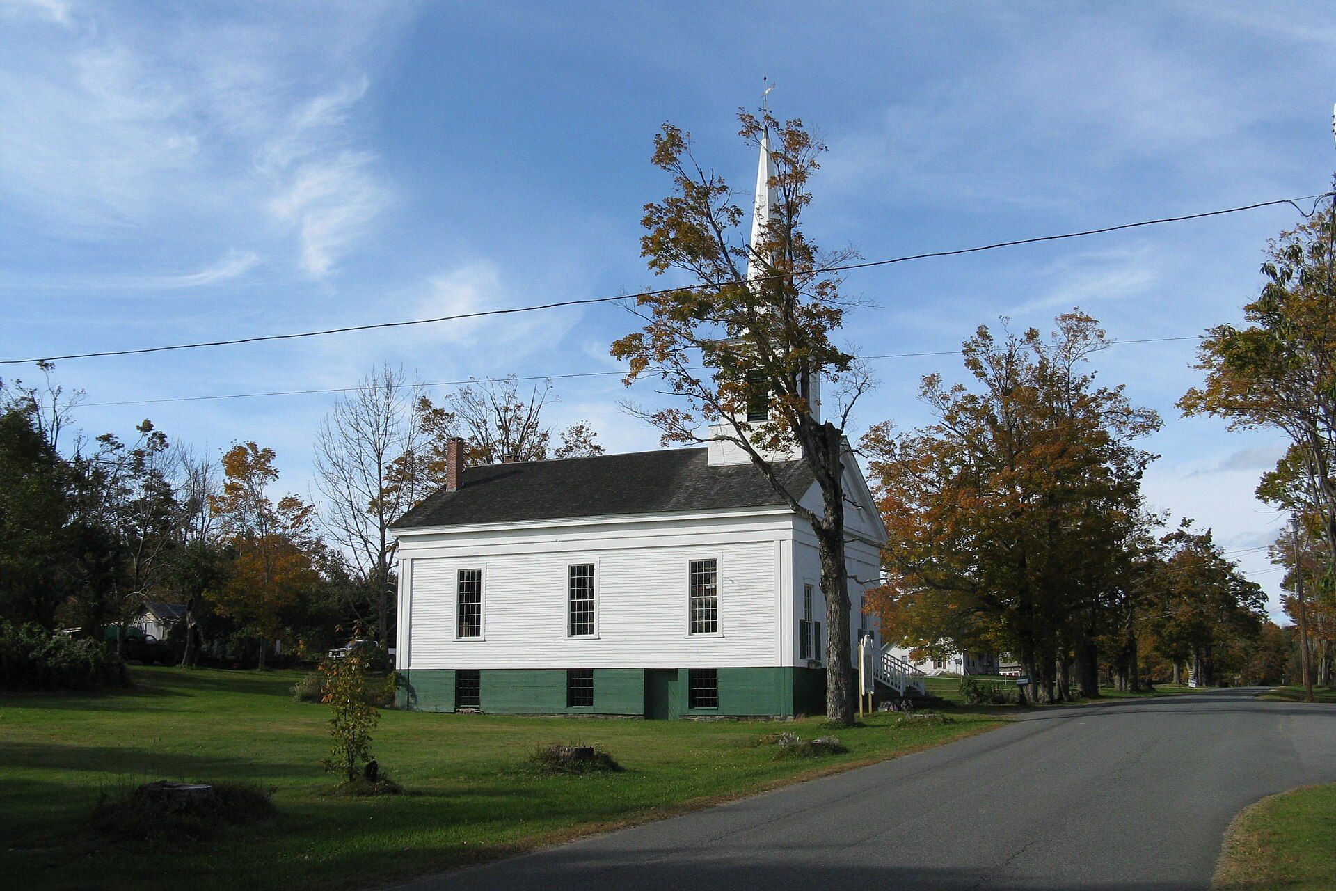
Hawley was first settled in 1760 as Plantation Number 7, by a group from Hatfield. Landmarks include East Hawley Center Historic District and Kenneth Dubuque Memorial State Forest.
Every piece is drawn from Hawley's own map data and historic archives, then printed and shipped from the USA when you order. No two towns look alike.
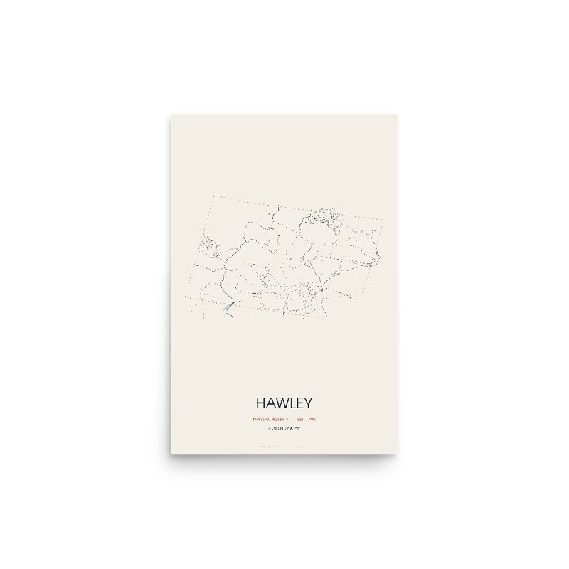
Every road in town, on archival matte paper
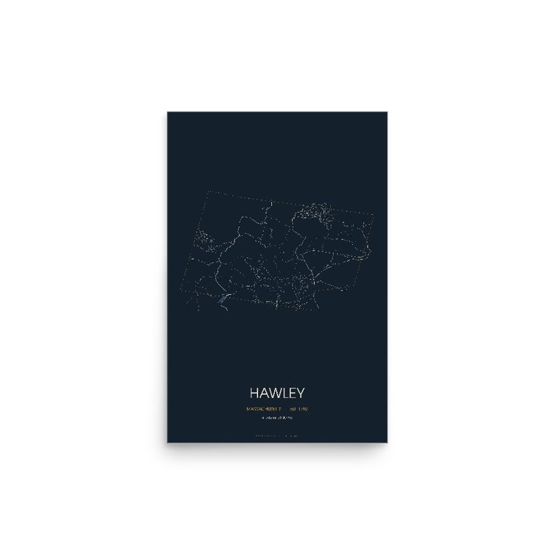
The same map, in navy and silver
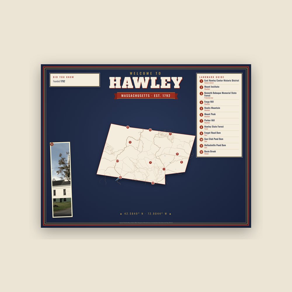
Map of local landmarks, washable fabric
Heavy-blend fleece, street map printed on the back
Soft Bella+Canvas jersey
Glossy ceramic, dishwasher safe
Ceramic keepsake, gold ribbon
Weatherproof, for the front walk
Soft-touch, zip cover
Sturdy all-over-print tote
Glossy top, cork back
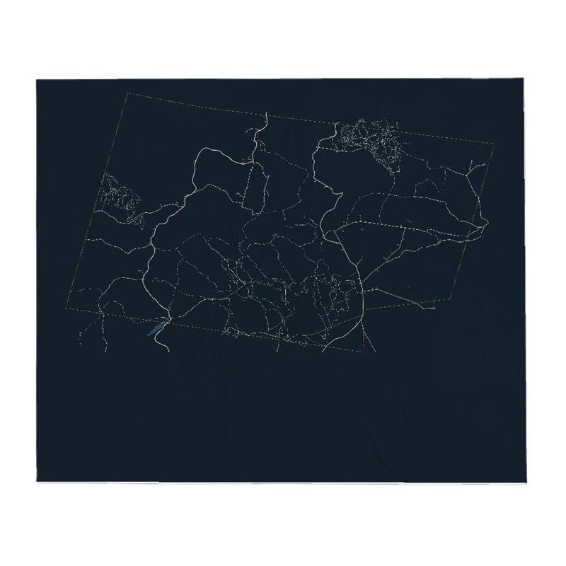
Soft fleece, 50″×60″
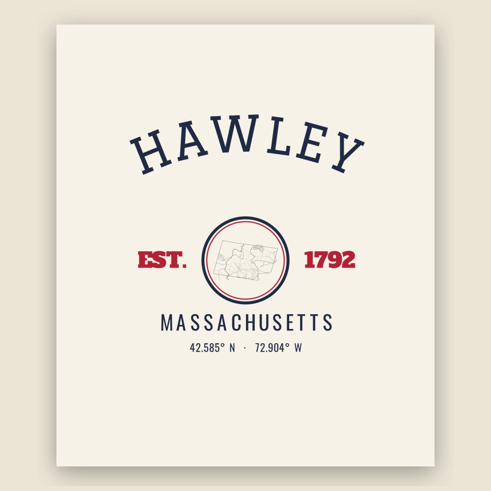
20 oz, double-wall stainless
Population 2010: 337 → 2020: 353
From Wikidata (CC0).
Hawley was first settled in 1760 as Plantation Number 7, by a group from Hatfield. The town was called the "Hatfield Reserve" until it was officially incorporated in 1792. The town was named for Joseph Hawley of Northampton, a local leader in the American Revolution. Hawley's main industries were forestry and, eventually, recreation. The town originally included the land of its neighbor, Plainfield, which split off in the early nineteenth century.
Today, the town has very little industry. There are a few remaining farms, artisans and small businesses, though most people commute from the town, work from home or work for municipalities. The town has no gas stations, convenience stores, or liquor stores. Hawley does not have a police department, but does have a fire department.
Adapted (trimmed) from the Wikipedia article Hawley, Massachusetts, revision 1377377647 by its contributors, licensed CC BY-SA 4.0.
We share a part of every Hawley sale with local partners, and we'd love to print from your collection. Old photographs, maps and postcards make the best keepsakes.
Partner with us