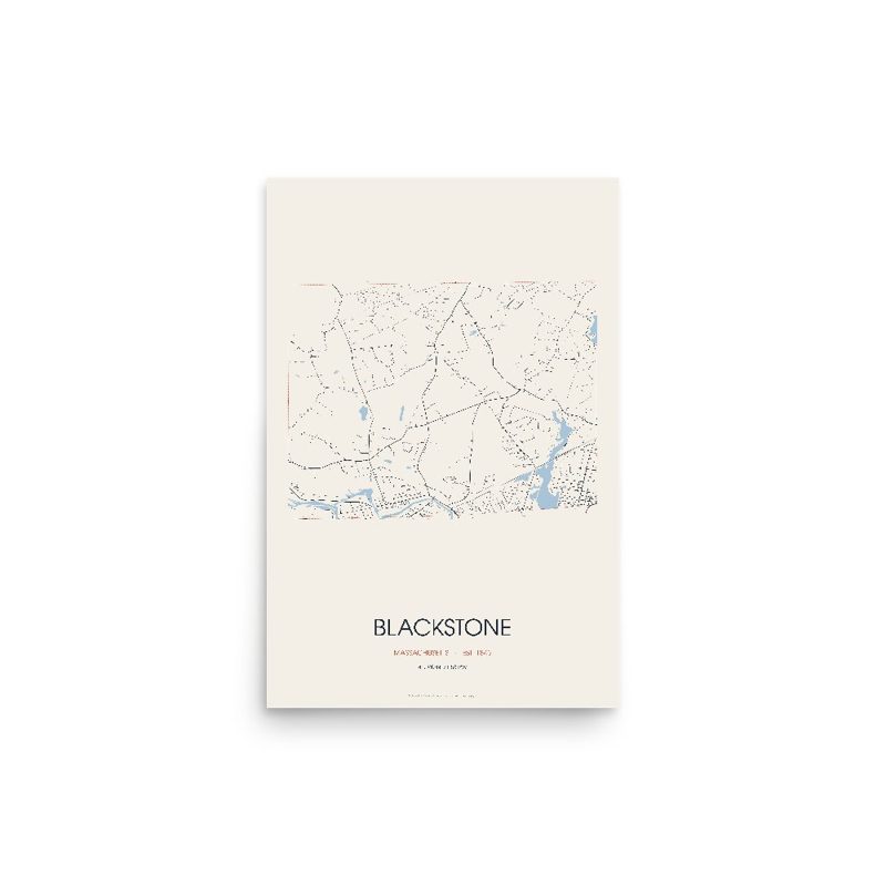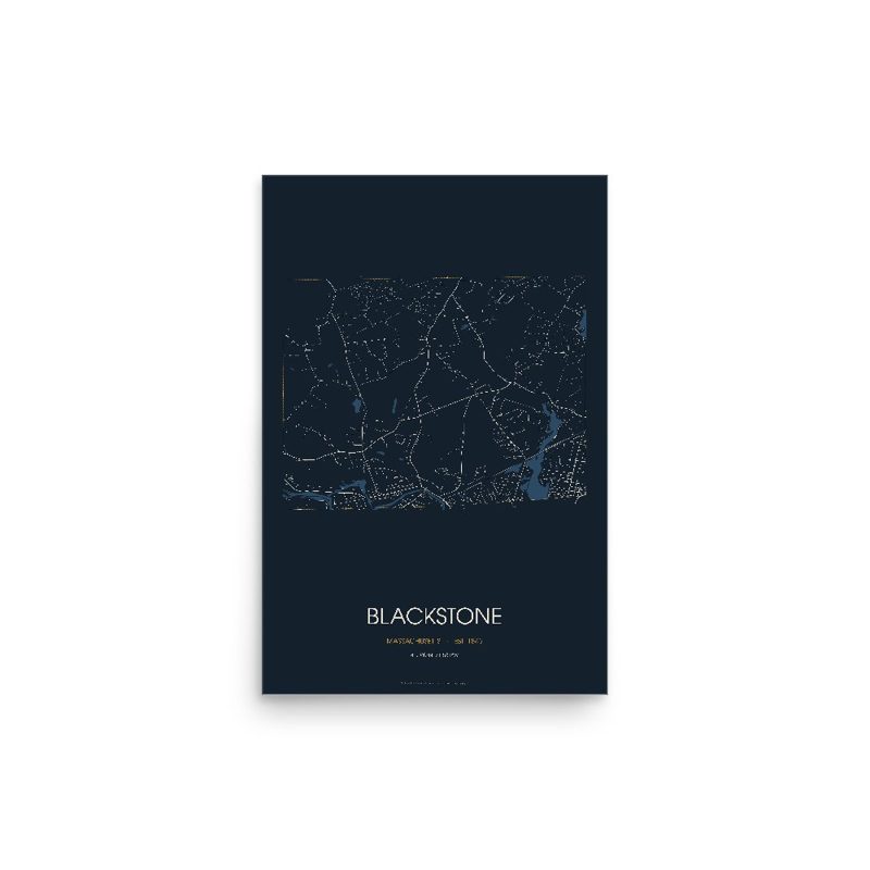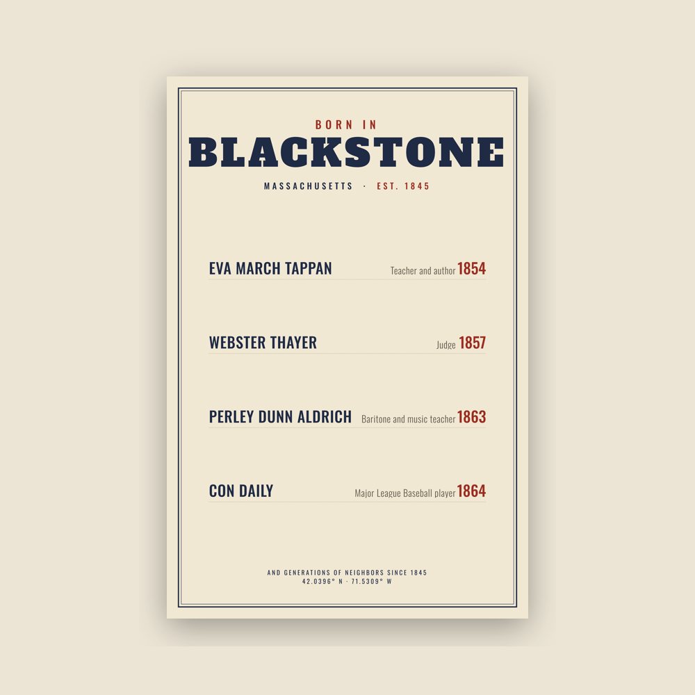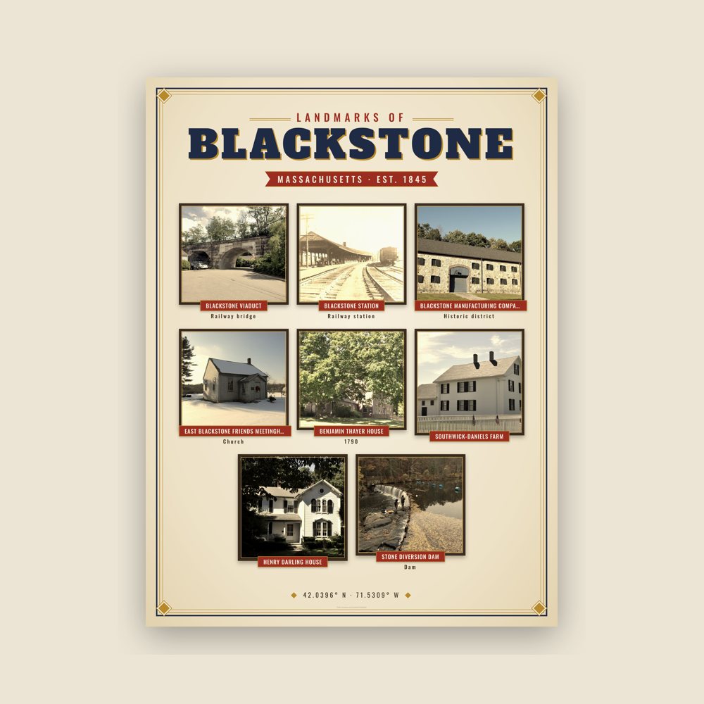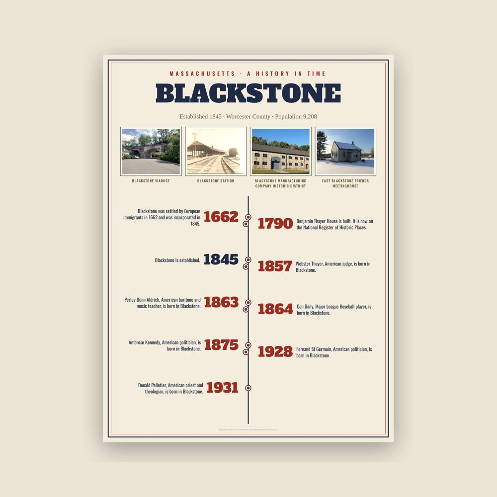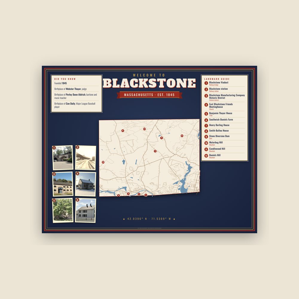
Blackstone, Massachusetts · Est. 1845
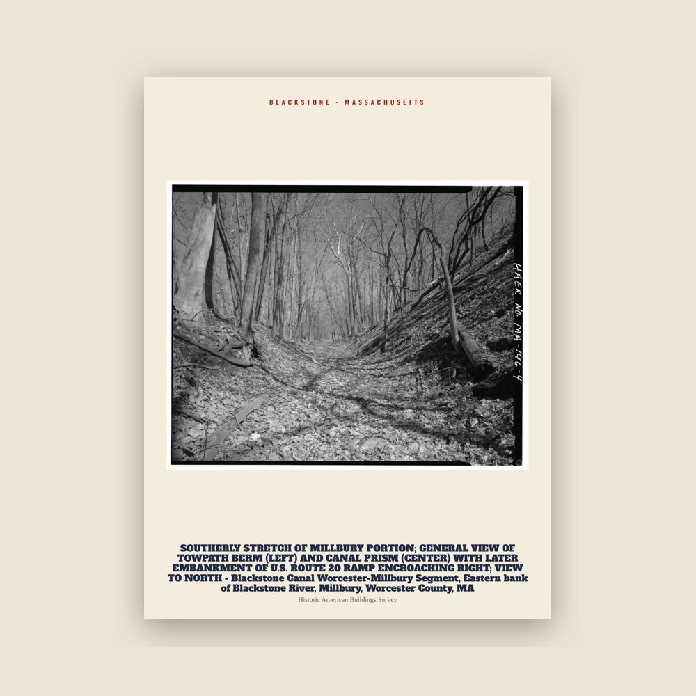
Blackstone SOUTHERLY STRETCH OF MILLBURY PORTION; GENERAL VIEW OF TOWPATH BERM (LEFT) AND CANAL PRISM (CENTER) WITH LATER EMBANKMENT OF U.S. ROUTE 20 RAMP ENCROACHING RIGHT; VIEW TO NORTH - Blackstone Canal Worcester-Millbury Segment, Eastern bank of Blackstone River, Millbury, Worcester County, MA Archive Print
From the Library of Congress collections: a historic survey drawing or photograph of the town.
from $39
18″×24″ · 24″×36″
- Printed on museum-grade enhanced matte paper with archival inks. Ships rolled in a tube; frame not included.
- Designed for Blackstone from its own map data and history.
- Printed to order and shipped from the USA in 5–10 business days.
- Damaged or misprinted? We replace it free. Returns