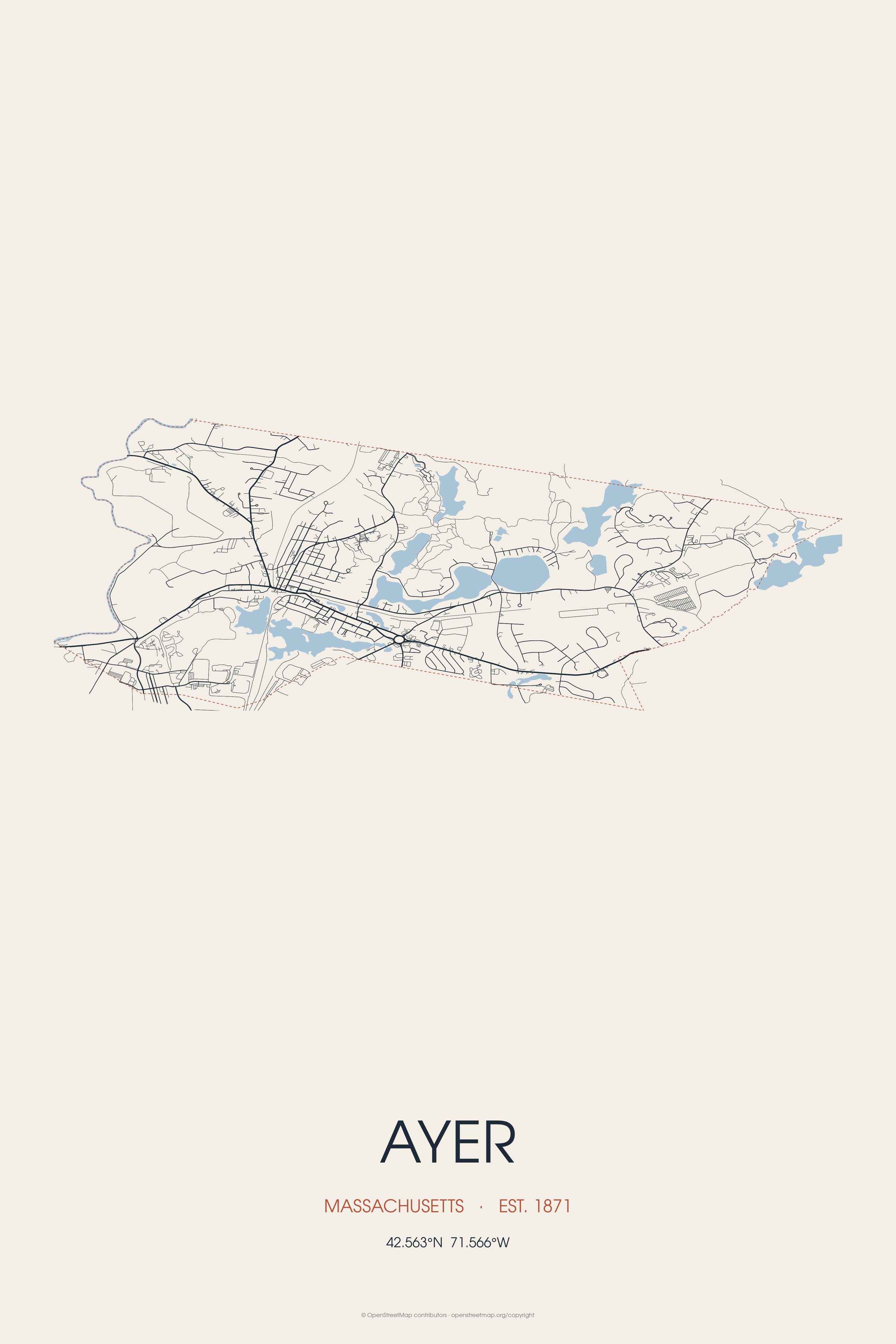
Ayer was originally inhabited by the Nashaway, a Nipmuc people that inhabited the lands along the Nashua River and its tributaries. Landmarks include Moore Army Airfield, Ayer station and Community Memorial Hospital. Ayer is the birthplace of Bill Aucoin, band manager.
Every piece is drawn from Ayer's own map data and historic archives, then printed and shipped from the USA when you order. No two towns look alike.
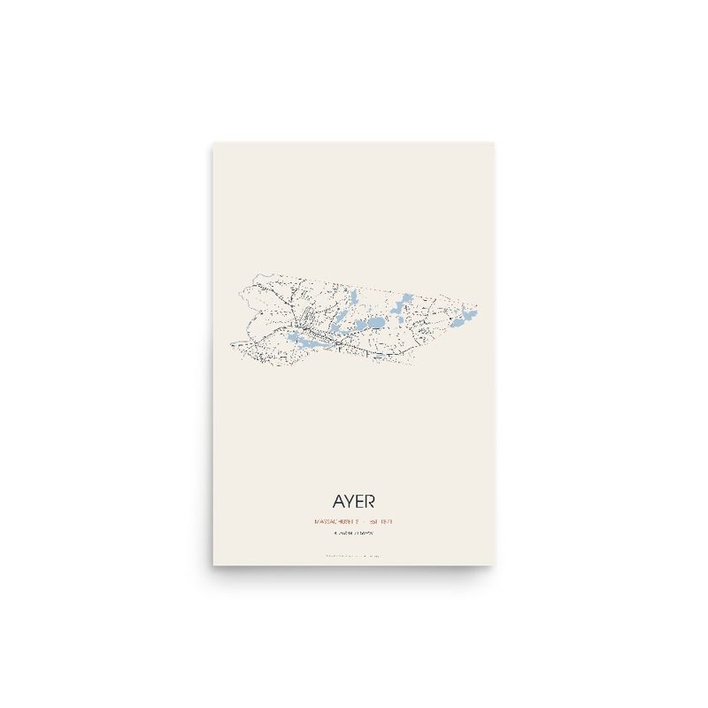
Every road in town, on archival matte paper
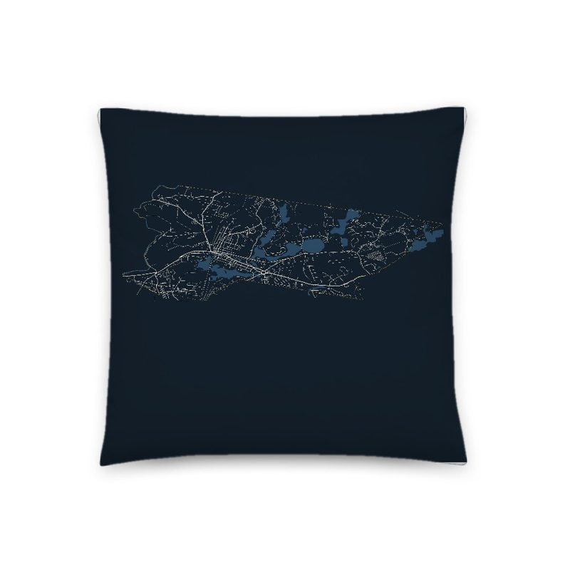
The same map, in navy and silver
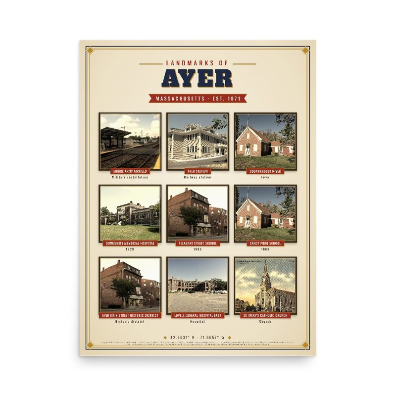
Nine local landmarks, archival matte
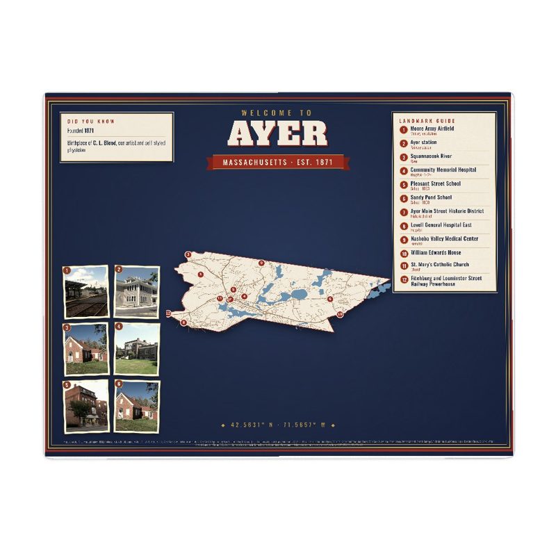
Map of local landmarks, washable fabric
Heavy-blend fleece, street map printed on the back
Soft Bella+Canvas jersey
Glossy ceramic, dishwasher safe
Ceramic keepsake, gold ribbon
Weatherproof, for the front walk
Soft-touch, zip cover
Sturdy all-over-print tote
Glossy top, cork back
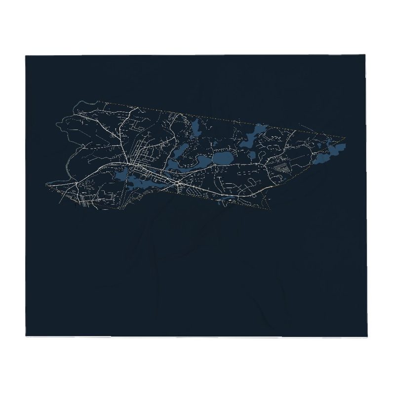
Soft fleece, 50″×60″
20 oz, double-wall stainless
Population 2010: 7,427 → 2020: 8,479
From Wikidata (CC0).
Ayer was originally inhabited by the Nashaway, a Nipmuc people that inhabited the lands along the Nashua River and its tributaries. A small settlement was located along the banks of the Nonacoicus Brook, located in the western part of the town. The name of the Nashaway village, its people and the brook, pronounced by locals as /ˈnɒ nə ˌkɔɪ ʃəs/, was also recorded in early English sources as 'Nonajcoyjicus,' 'Nonocoyecos,' 'Nonacoiacus' and 'Nonaicoics.' According to the personal manuscripts of Justice Samuel Sewall, best known for his controversial role in the Salem witch trials, he was told sometime in 1698 by Hanah, wife of Sachem Ahaton of the Ponkapoag Massachusett tribe, that the name was actually Nunnacoquis (modern Wôpanâak Massachusett dialect Nunahkuqees /nənahkəkʷiːs/) and signified 'an Indian earthen pot' although literally refers to a 'small dry earthen pot.' The name was likely a reference to a series of small mounds along the banks of the Nonacoicus Brook.
Very little archaeological evidence has been found of settlement in the region, most likely lost to centuries of cultivation and development, although a handful of stone tools or evidence of habitation have been found along the shores of the Nashua River, Nonacoicus Brook, Sandy Pond and Long Pond as well as a rock shelter on Snake Hill. Although some have been dated to the Early Woodland Period (3000-2000 BP), the majority of findings are from the Late Woodland and Early Contact Period (1000-450 BP). In addition, portions of Main Street and Sandy Pond Road are believed to follow the vast network of trails used by Native peoples for trade, travel and communication. The Nashaway likely cultivated corn, beans and squash, but depended on foraging for fruits, nuts, tubers and seeds to supplement their diets. Seasonally, camps were set up in hunting areas, but the most important gatherings were likely the annual spawning migrations of Atlantic salmon, alewife, American shad, blueback herring and sea lamprey that once swam up the Nashua River from the sea via the Merrimack River.
The arrival of English settlers in the seventeenth century was a great disruption. Virgin soil epidemics such as smallpox, leptospirosis, influenza, scarlet fever and measles ravaged Native communities due to their lack of immunity to Old World diseases. The influx of English settlers also led to competition for land and resources and efforts to subjugate and assimilate the Native peoples. The Nashaway were visited by the missionary John Eliot, who had translated the Bible into the Massachusett language, understood throughout New England as a second language. He began teaching Indians to read and write, and to train as missionaries and teachers. Land was set aside for the Indians for the Praying town of Nashoba in what is now neighboring Littleton, Massachusetts, which likely attracted many of the Nashaway families in the surrounding areas. Nashoba was one of fourteen communities in the colony established for the Indian converts, where they came to meld English and traditional ways.
By 1675, the peace between the English settlers and the Native Americans was broken with the uprising of the Wampanoag sachem Metacomet. The Praying Indians, the inhabitants of the Praying towns such as Nashoba, were rounded up by English colonial militias and sent to Deer Island, where most froze or starved to death. Although heavy losses were inflicted on both sides, the English won and executed a vast number of Indians or sold them into slavery in the West Indies. Many left the region and chose to seek safety with the Abenaki and the French colonists in what is now Canada. Nashoba remained in Indian hands until 1736. The Native Americans began to congregate into a smaller number of communities. Three state-recognized tribes of Nipmuc, descended from the remnant communities that survived the epidemics and King Philip's War, include the Chaubunagungamaug Nipmuck of Webster, Massachusetts, the Hassanamisco Nipmuc of Grafton, Massachusetts and the Natick Massachusett-Nipmuc, a Massachusett people of partial Nipmuc ancestry.
The town of Groton, which originally included Ayer as well as several other towns in the region, was settled by English colonists as early as 1655. The first settlement in the portion of Groton that would become Ayer was in 1667, when a mill was constructed to serve a small hamlet that had developed around the Nonacoicus Brook.
The community eventually came to be known as South Groton, or with the arrival of the railroad, Groton Junction. This area was later partitioned and incorporated as the town of Ayer in 1871. The town was named Ayer in honor of Dr. James Cook Ayer, a prominent resident of Lowell, Massachusetts and one of the wealthiest pharmaceutical manufacturers of his day. Dr. Ayer provided the funding for the construction of the Town Hall.
Fitchburg Railroad in 1844 to Boston and eventually points in New York State (still in operation in 2021 as District 3 (Pan Am Southern) and the MBTA Fitchburg Line To Wachusett).
Peterborough and Shirley Railroad in 1848 (became part of the Fitchburg Railroad and later the Boston & Maine Railroad. Its northerly terminus was Greenville, New Hampshire. From 1892, the Peterborough and Shirley also connected with the Brookline and Pepperell Railroad to Pepperell and, from 1895, to Milford, NH. In 2021 active rail on what is now known as the Greenville Industrial Track serves two customers on line, both located one mile north of Ayer center. Operational rail ceases at a derelict trestle spanning the Nashua River on the Ayer/Groton border. Tracks are intact to Townsend, Massachusetts.
Worcester and Nashua Railroad in 1848 (Southern branch still in operation under Pan Am Southern to Worcester to connect with CSX Transportation. Northern end of the branch from Ayer to Nashua, NH abandoned in 1981. The Nashua River Rail Trail has occupied the old right-of-way since 2005)
Stony Brook Railroad to North Chelmsford, Massachusetts, in 1848 (still in operation in 2021 as District 2 [Pan Am Railways])
The split between the Stony Brook and Fitchburg main line was moved east from the central junction to reduce parallel trackage.
During the Civil War an army training camp, Camp Stevens, was located near the Nashua River. Camp Devens, which eventually became Fort Devens, was established in 1917, during World War I. The presence of thousands of military and civilian personnel on the base shifted Ayer's commercial development towards meeting their needs until Fort Devens was closed in 1996, but was reopened the next day as a reserve training area. It has since been reopened, although on a much smaller scale than the days when it was active.
In 1935, the largest Nordic ski jump in North America was constructed at Pingry Hill near the Willows. A 700-foot-high wooden trestle build, the ski jump operated for a single winter season amid the hardships of Great Depression-era Ayer. Part of the structure was blown down by the wind in the summer of 1936 and it was never rebuilt. Some of the lumber was salvaged by local residents over the next few years. As of 2013, no trace of the massive structure remains.
Within its relatively small area Ayer boasts numerous industries, including plants belonging to Vitasoy and Pepsi, a historical downtown unique to the region, and modern commuter rail service to Boston.
The Hollywood film Conviction depicted the legal drama surrounding the investigation, conviction and eventual exoneration of Kenneth "Kenny" Waters, for the 1980 murder of Katharina Brow. Waters' sister Betty Anne worked with the Innocence Project, a nonprofit organization devoted to overturning the wrongful convictions using DNA test results as evidence. In 2009 the town and its insurers eventually paid a $3.4 million settlement in response to a civil rights lawsuit by the estate of Kenneth Waters.
Adapted (trimmed) from the Wikipedia article Ayer, Massachusetts, revision 1375316004 by its contributors, licensed CC BY-SA 4.0.
We share a part of every Ayer sale with local partners, and we'd love to print from your collection. Old photographs, maps and postcards make the best keepsakes.
Partner with us