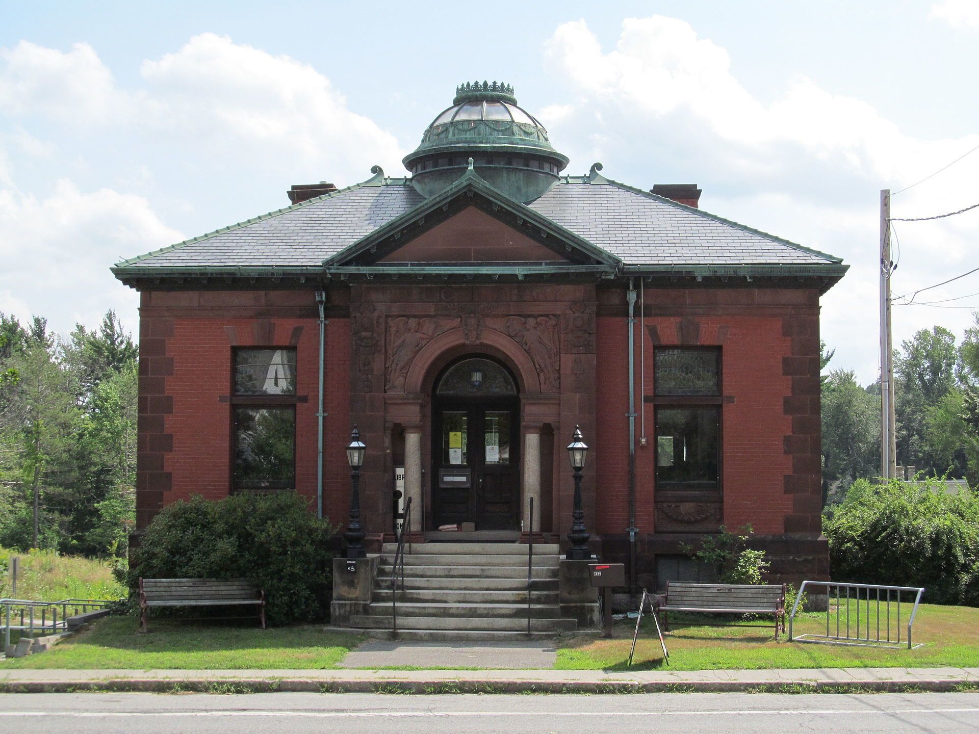
Ashby is primarily a bedroom community, consisting almost entirely of single family homes and a limited number of businesses. Landmarks include Ashby Free Public Library, Asa Kendall House and Ashby Grange Hall. Ashby is the birthplace of Myron William Whitney, opera singer.
Every piece is drawn from Ashby's own map data and historic archives, then printed and shipped from the USA when you order. No two towns look alike.
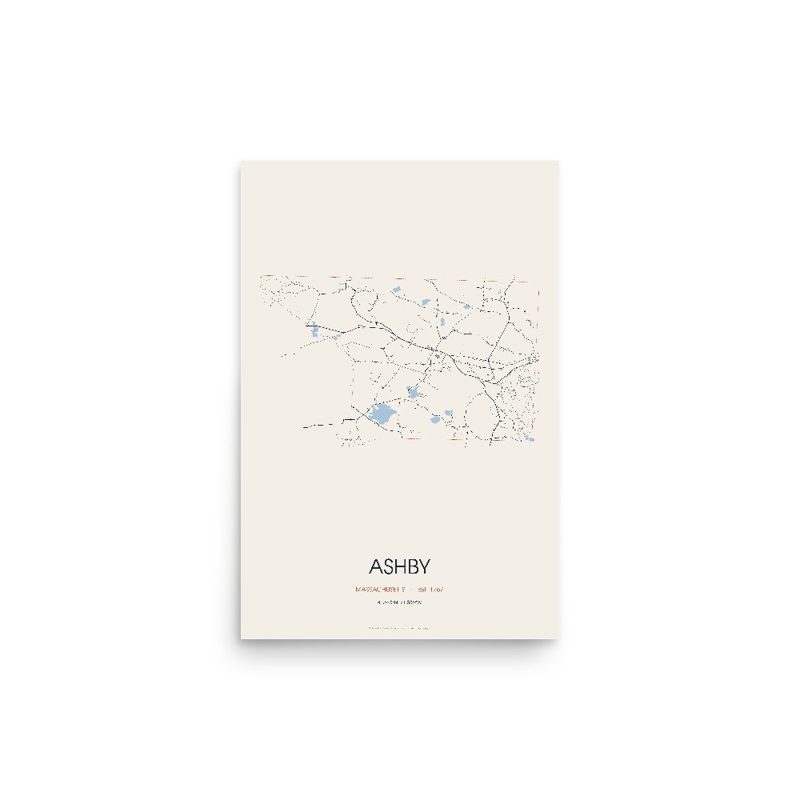
Every road in town, on archival matte paper
The same map, in navy and silver
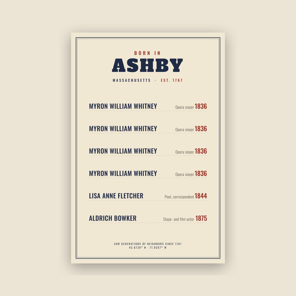
Famous natives, by birth year
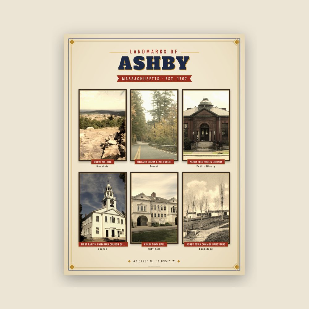
Nine local landmarks, archival matte
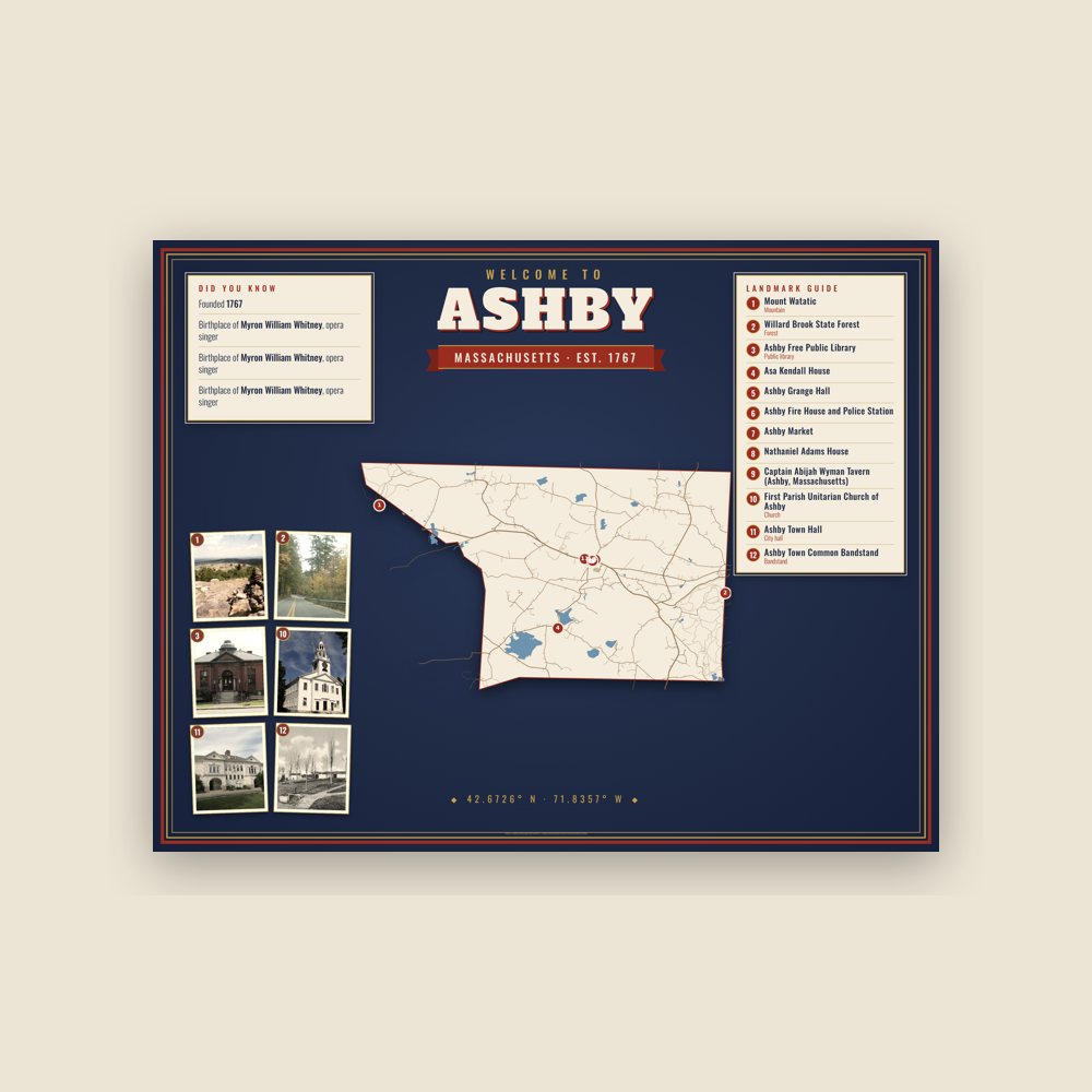
Map of local landmarks, washable fabric
Heavy-blend fleece, street map printed on the back
Soft Bella+Canvas jersey
Glossy ceramic, dishwasher safe
Ceramic keepsake, gold ribbon
Weatherproof, for the front walk
24″×16″, printed coir-look fibers, rubber back
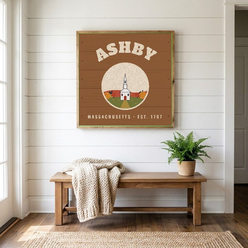
12″×12″ printed wood, ready to hang
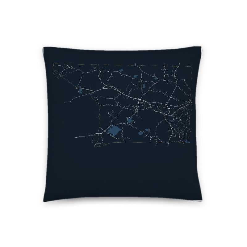
Soft-touch, zip cover
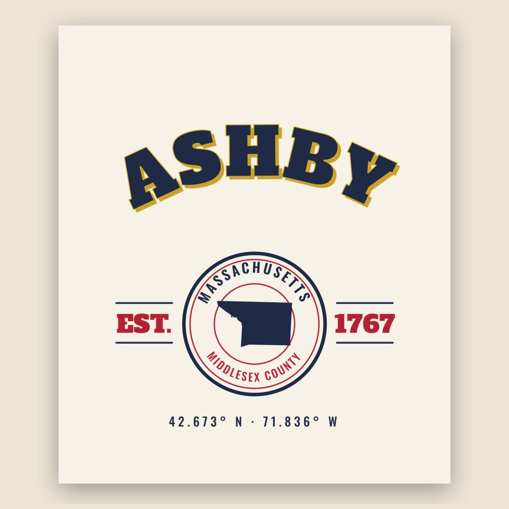
Sturdy all-over-print tote
Glossy top, cork back
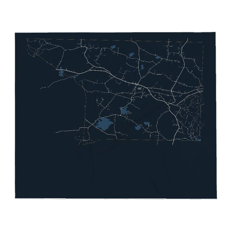
Soft fleece, 50″×60″
20 oz, double-wall stainless
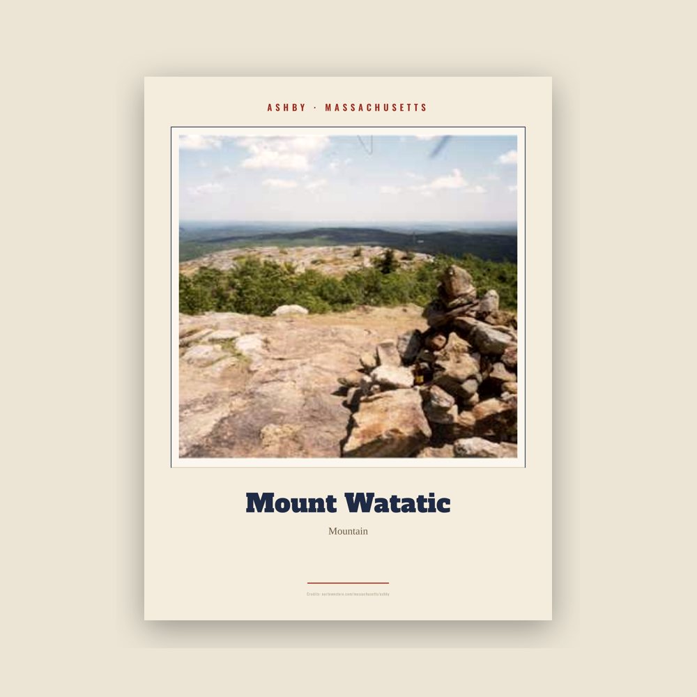
Archival matte print of a local landmark, credited to its photographer
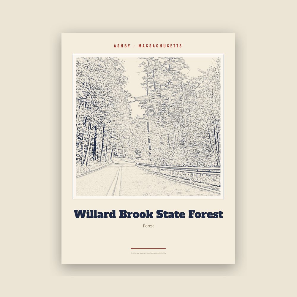
Archival matte print of a local landmark, credited to its photographer
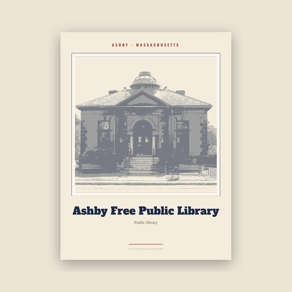
Archival matte print of a local landmark, credited to its photographer
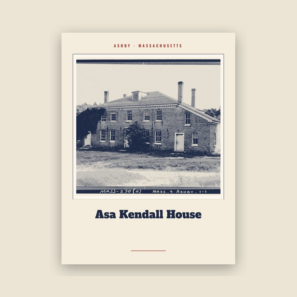
Archival matte print of a local landmark, credited to its photographer
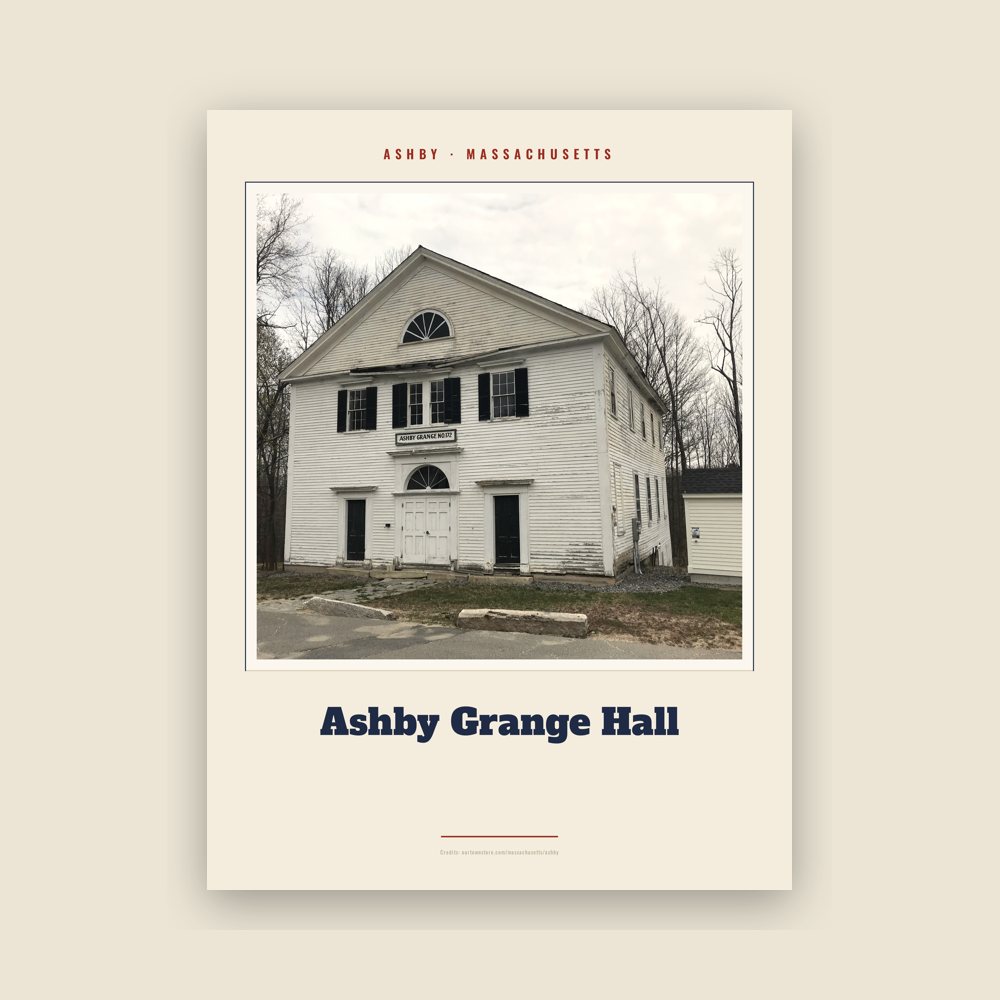
Archival matte print of a local landmark, credited to its photographer
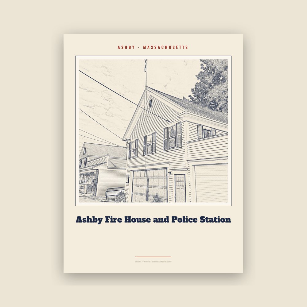
Archival matte print of a local landmark, credited to its photographer
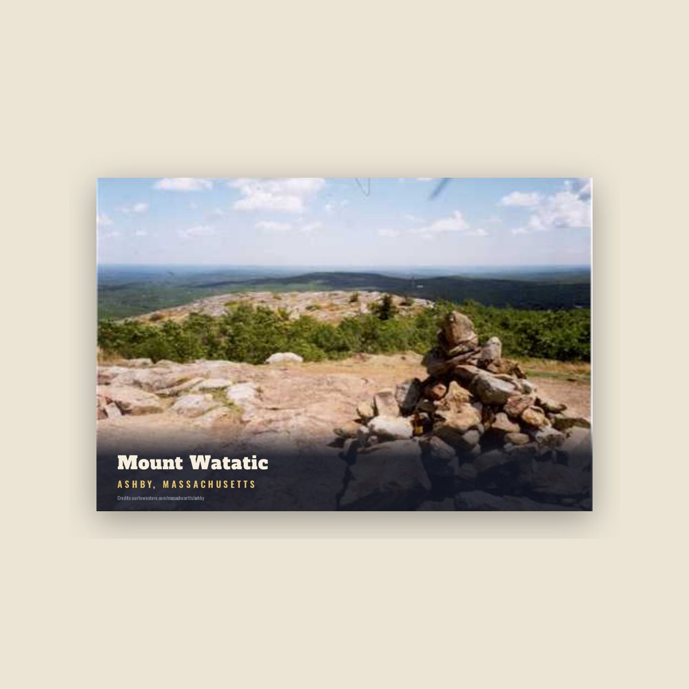
6″×4″ postcard, glossy front
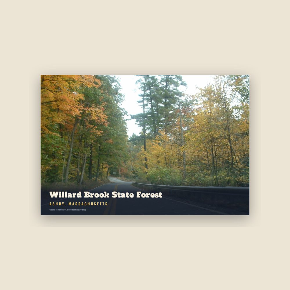
6″×4″ postcard, glossy front
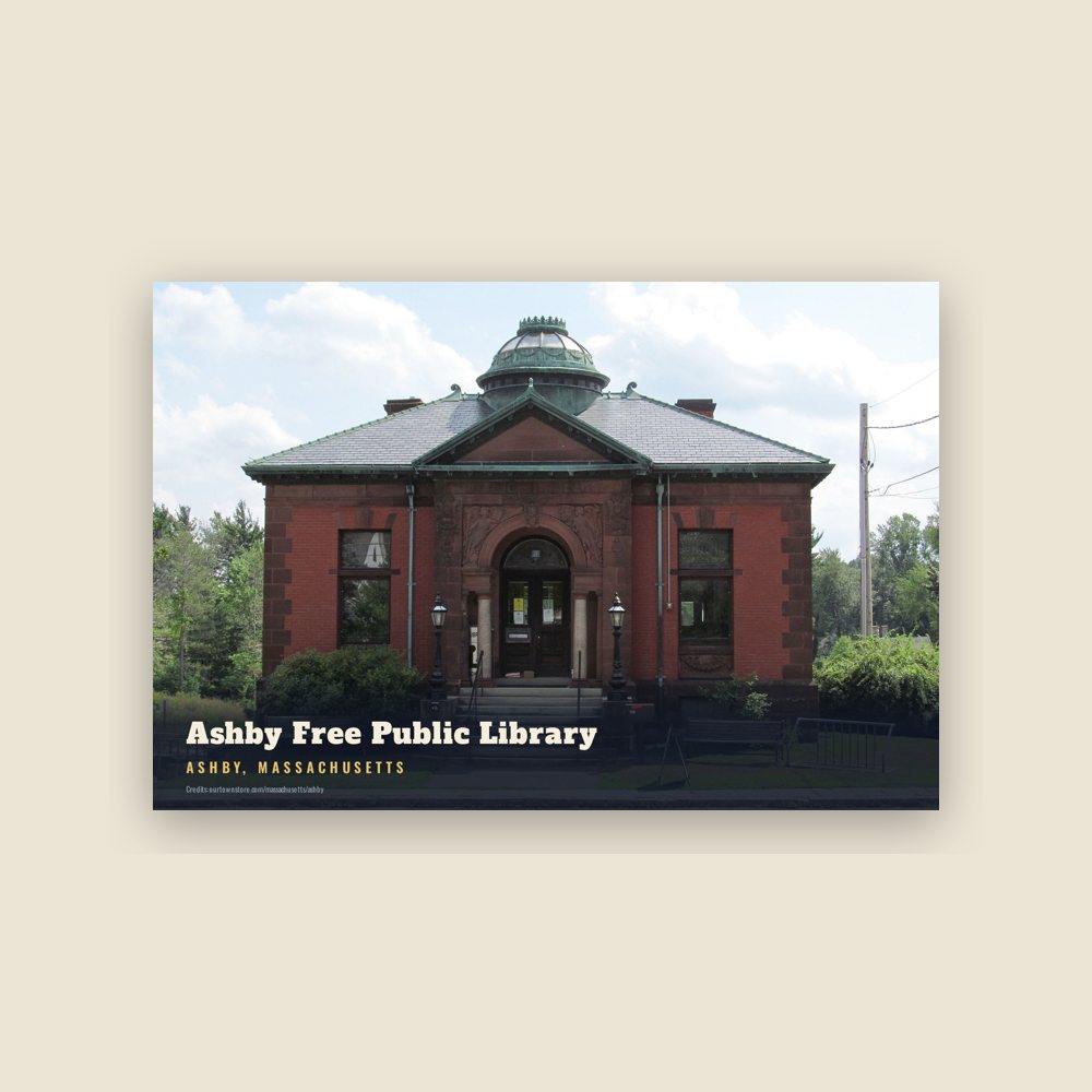
6″×4″ postcard, glossy front
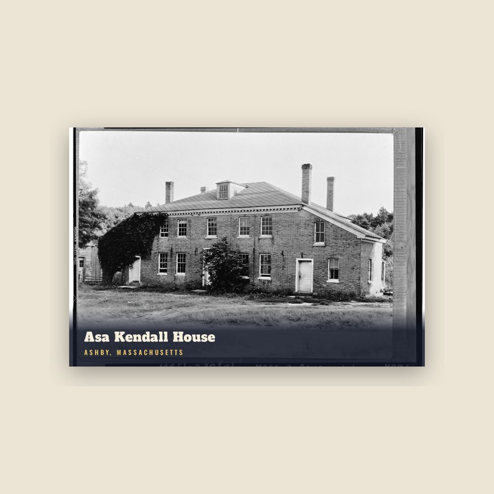
6″×4″ postcard, glossy front
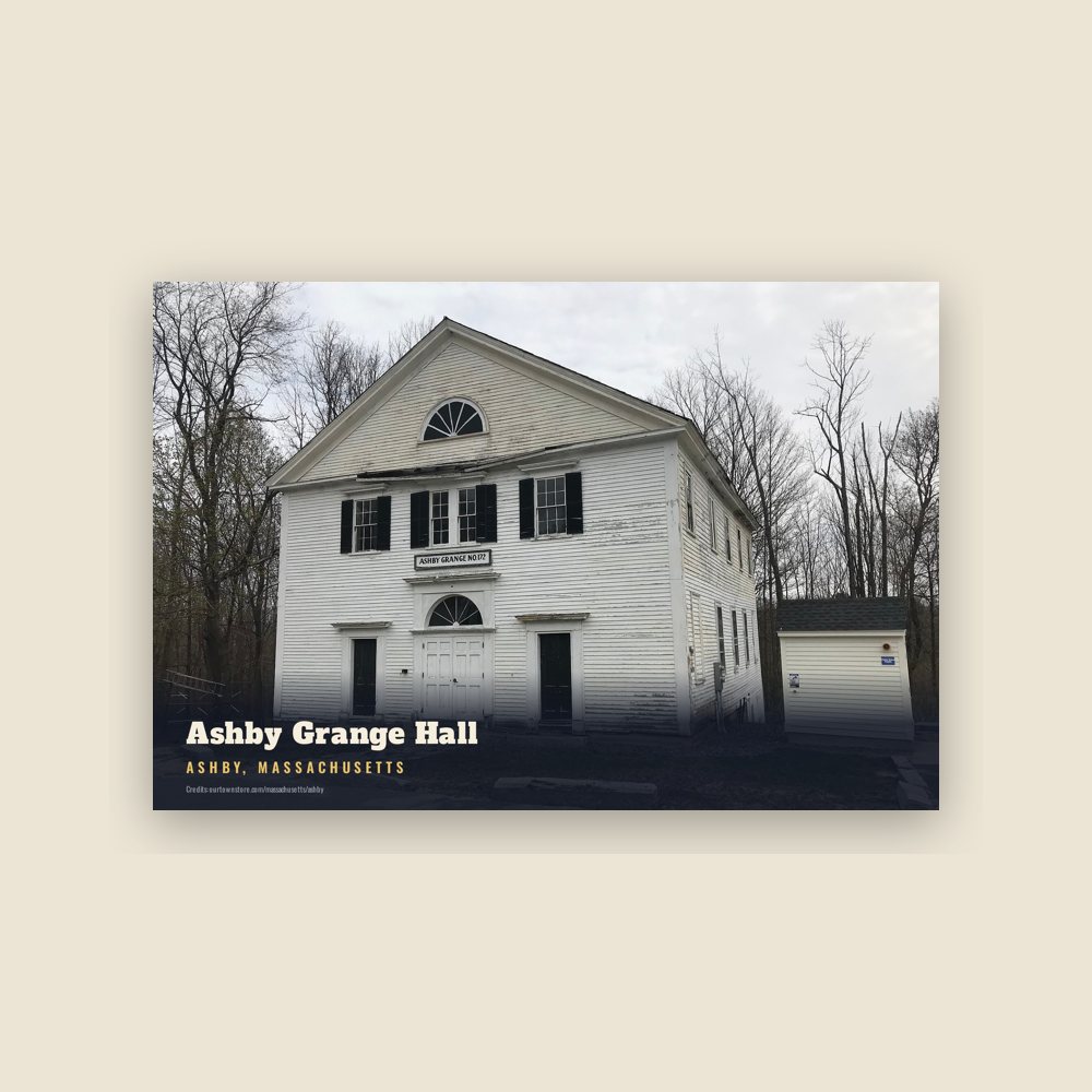
6″×4″ postcard, glossy front
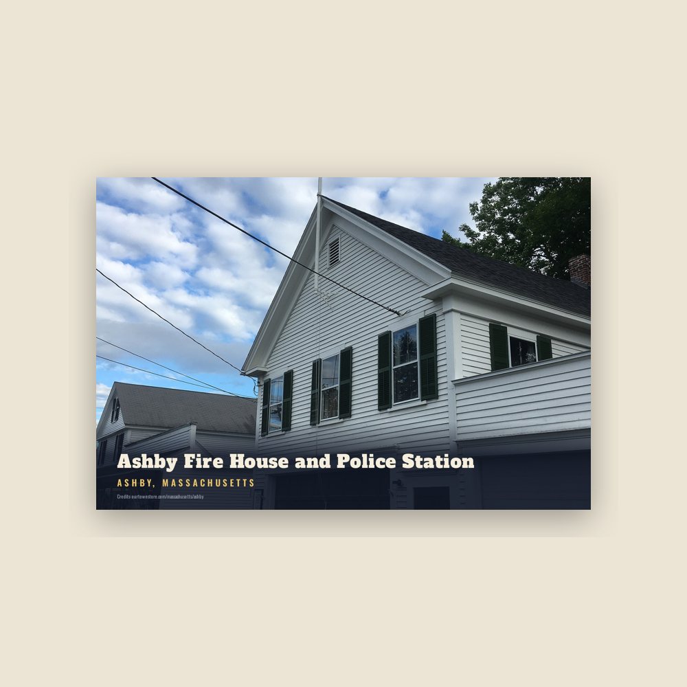
6″×4″ postcard, glossy front
Population 2010: 3,074 → 2020: 3,193
From Wikidata (CC0).
Ashby was first settled in 1676 and was officially incorporated in 1767. The town was formed from portions of Townsend, Lunenburg, Fitchburg, and Dorchester-Canada (a portion of Ashburnham). One of the earliest settlers of the town was John Fitch. Fitch was kidnapped by Native Americans in 1748 and was held hostage for six months. Fitch died in 1795 with his surviving children remaining in the community. The John Fitch Monument, known to most at the "monument", is located at the intersection of South and Richardson roads, stands to this day and was recently cleaned up by volunteers in 2021. Though some mills existed in the town, the community remained primarily an agricultural one with the majority of land being used for farming in the 1700s and 1900s. Ashby was at one time home to numerous apple orchards, the remnants of which can be found in the woods behind present day houses.
The Ashby Historical Society was formed in 1900 with a goal of preserving Ashby's history for future generations. The group maintains and curates a small museum in the old engine house, located in the center of town that was originally constructed circa 1899. The society maintains a collection of artifacts from the town's history and continues to add donations and found artifacts to its collections. This collection of artifacts includes maps, books, letters, furniture, farm implements, firefighting apparatus, and much more. Hand pumped fire apparatus are on display at the historical society, along with fire related tools.
The Town Pump, a newsletter published during the final two years of World War II, had its first edition published in June 1944 and last in September 1945. The Town Pump circulated as a means of keeping residents temporarily out of town supporting the war effort informed on that which was happening at home. The news letter circulated during 1944 and 1945, until publication ceased with the end of the war. Scanned digital copies of "The Town Pump" can be found online.
The Ashby Stock Farm, also known as the Middlesex Stock Farm, is situated on the largest parcel of contiguous open space remaining in town today. The farm consists of 238 acres of hay fields and forestland. The farm once stretched all of the way into downtown and up to the New Hampshire border. The farm has had several owners and was once a large dairy operation. The farm is currently privately owned and has horses and active hay production on the property.
The Ashby town common is a familiar sight for anyone traveling through town on Route 119. The common is a moderately sized triangular parcel of land in the center of town, just at the crest of the hill in front of one of two remaining historic churches. The common was once shaded by several maple trees, many of which have since died and been removed. The gazebo stands where it has since the 19th century and was restored in the 2000s.
The South Village area, also referred to on some historic maps as the "Mill Village", is the area surrounding the outlet of the Ashby Reservoir. This small section of town was home to a gristmill and some limited mill housing that was constructed by Ephraim Hayward circa 1800. There are two buildings that still exist to this day on the property now owned by Middlesex County Foundation. The property remains in operation by Camp Middlesex as a seasonal 4-H camp. The mill buildings, dam and bridge have been maintained over the years with the bridge over the spillway being replaced in the 2000s. The mills changed hands multiple times during their operation, eventually being operated by William O. Loveland, who continued to run the sawmill and retrofitted the gristmill to produce electricity. Loveland is believed to have been the person to convince the Board of Selectmen to construct poles and run electric power to light the center of town around 1902. The mills were eventually closed in the 1920s.
West cemetery, originally a family burial ground started during the Revolutionary War, was later used in the 20th century by many Finnish families. This cemetery, as are the others, is now owned and maintained by the town.
Mount Watatic, located in the towns of Ashburnham and Ashby, was once home to a small ski area that operated from the 1930s until its closure in 1984. The ski area started with a small rope tow and expanded to the summit some time later, thought to be in the 1960s. At its height, the ski area had snow making and night skiing, impressive features at the time. The area also included multiple rope tows, two T-bars and double chairs that eventually replaced the old rope tows and one T-bar. In 1984, the ski area eventually succumbed to competition and its poor location in relation to major roads. There was one attempt to reopen the ski area in 1988, under the name Ski Adventure that was ultimately unsuccessful. The land of the former ski area is currently held in conservation and is accessible to the public for hiking. Hikers can find the old, grown-in trails and remnants of the area's structures still visible on the back side of the mountain.
Mount Watatic was also once home to state fire tower #31 that looked out over central Massachusetts at an elevation above sea level of 1590 feet. Phone lines to the tower ran up the Ashby and Ashburnham sides of the mountain over the years.
The Ashby 250th celebration in 2017 featured a year long schedule of events including a parade, tour of the historical society, ecumenical camp meeting, horse demonstrations, old fashion baseball game, bonfire, and several other events.
The majority European-American town gained national attention in 1973 when the Ashby Town Meeting voted 148 to 79 against inviting non-white people to live there.
Adapted (trimmed) from the Wikipedia article Ashby, Massachusetts, revision 1377091231 by its contributors, licensed CC BY-SA 4.0.
We share a part of every Ashby sale with local partners, and we'd love to print from your collection. Old photographs, maps and postcards make the best keepsakes.
Partner with us