Prince George's County, Maryland
Street maps, historic prints and keepsakes for 27 Prince George's County towns.
The oldest is Landover Hills, established 1945. The largest by population is Bowie (58,329).
| Town | Established | Population |
|---|---|---|
| Berwyn Heights | – | 3,345 |
| Bladensburg | – | 9,657 |
| Bowie | – | 58,329 |
| Brentwood | – | 3,828 |
| Capitol Heights | – | 4,050 |
| Cheverly | – | 6,170 |
| College Park | – | 24,657 |
| Colmar Manor | – | 1,588 |
| Cottage City | – | 1,335 |
| District Heights | – | 5,959 |
| Eagle Harbor | – | 67 |
| Edmonston | – | 1,617 |
| Fairmount Heights | – | 1,528 |
| Forest Heights | – | 2,658 |
| Glenarden | – | 6,402 |
| Greenbelt | – | 24,921 |
| Hyattsville | – | 21,187 |
| Landover Hills | 1945 | 1,815 |
| Laurel | – | 30,060 |
| Morningside | – | 1,240 |
| Mount Rainier | – | 8,333 |
| New Carrollton | – | 13,715 |
| North Brentwood | – | 593 |
| Riverdale Park | – | 7,351 |
| Seat Pleasant | – | 4,522 |
| University Park | – | 2,454 |
| Upper Marlboro | – | 652 |
About these towns
Berwyn Heights: Beginning in the 1870s, the area northeast of Washington, D.C. was the scene of active and continuous development as the population of the city increased and railroad suburbs such as Berwyn Heights, originally platted as Charlton Heights, gradually grew and expanded around it.
Bladensburg: Originally called Garrison's Landing, Bladensburg was renamed in honor of Thomas Bladen, governor of Maryland, 1742–1747. Bladensburg was established in 1742 as a regional commercial center by an act of the Maryland General Assembly.
Bowie: The city of Bowie owes its existence to the railway. In 1853, Colonel William Duckett Bowie obtained a charter from the Maryland legislature to construct a rail line into Southern Maryland.
Brentwood: The town was originally incorporated in 1922 and is named after the Brentwood estate built in 1817 by Robert Brent in Northeast Washington, D.C.
Capitol Heights: In 1904, Washington, D.C., was growing by leaps and bounds. The overcrowding and the improved public transportation made the idea of living on the outskirts increasingly appealing to people looking for housing.
Cheverly: Cheverly was begun as a planned suburb in the early 1900s. The Cheverly area was first platted in 1904 for a 93-acre (380,000 m2) community called Cheverly Gardens.
College Park: The earliest evidence of human activity in the College Park area was found at an archeological site just south of Archives II.
Colmar Manor: The town is home to Dueling Creek, formerly in Bladensburg, Maryland, a small waterway that because of its secluded location was a popular site for dueling.
Cottage City: Its history dates to pre-revolutionary America; old records indicate that the area was home to several of the Potomac River Indian tribes.
District Heights: District Heights was originally farmland owned by Major Leander P. Williams, purchased as four patented Lord Baltimore tracts known as: "Good Luck," "Magruder's Plains Enlarged," "the Levels," and "Offutt's Adventure." Under grants issued to Lord Baltimore by King Charles I of Great Britain, the tracts belonged to Colonel Ninian Beall, Benjamin Berry, and Alexander Magruder.
Eagle Harbor: Eagle Harbor was originally known as Trueman Point, a river port established in the early 18th century to serve as a shipping point for tobacco plantations located in the Aquasco area.
Edmonston: The present-day Edmonston area probably acquired its name from Edmonston Road, the main road running along its southeast border, which was named for the Edmonston family who owned a great deal of land in the area.
Fairmount Heights: Two Washington, D.C. land developers and lawyers, Allen Clark and Robinson White, platted the first subdivision of Fairmount Heights; separate developers platted the remaining five.
Forest Heights: A few homes (such as on Huron Drive) were built in the 1930s, but most of the town developed in the 1940s and early 1950s, consisting of single-family homes with some streets of duplex homes; the Talbert Drive homes were added in the 1960s.
Glenarden: Glenarden was developed in 1919, when W. R. Smith purchased a group of properties approximately 10 miles east of Washington, and established a residential community of 15 people.
Greenbelt: Greenbelt was settled on September 30, 1937, as a public cooperative community in the New Deal era. The concept was at the same time both eminently practical and idealistically utopian: the federal government would foster an "ideal" self-sufficient cooperative community that would also ease the pressing housing shortage near the nation's capital.
Hyattsville: In the 1720s, John Beall acquired land in the area and established Beall Town. The opening of the Washington–Baltimore Turnpike (modern day US 1) in 1812 and the B&O Railroad Washington Branch line in 1835 brought more settlers to the area.
Landover Hills: The town has a neighborhood named Defense Heights.
Laurel: Many dinosaur fossils from the Cretaceous Era are preserved in a 7.5-acre (3.0 ha) park in Laurel. The site, which among other finds has yielded fossilized teeth from Astrodon and Priconodon species, has been called the most prolific in the eastern United States.
Morningside: Morningside is an incorporated town in Prince George's County, Maryland, United States. The town developed with the establishment of nearby Andrews Air Force Base and the federal Census Bureau.
Mount Rainier: In 1899, the streetcar lines were extended from Washington D.C. through Hyattsville, Maryland. The Mount Rainier stop was located at the intersection of what is now known as Rhode Island Avenue and 34th Street.
New Carrollton: Developer Albert W. Turner acquired the former estate of horse racing figure Edward L. Mahoney after Mahoney's death in 1957 and transformed it into a planned suburb.
North Brentwood: The town is named after the Brentwood estate built in 1817 by Robert Brent in Northeast Washington, D.C. The town was originally settled by African-American veterans of the American Civil War, who purchased lots from their former commander, Capt.
Riverdale Park: Riverdale Park and the neighboring community of West Riverdale developed in the late 19th century as streetcar suburbs in central Prince George's County.
Seat Pleasant: Seat Pleasant is located on part of what had been the Williams-Berry estate. In 1850, the descendants of General Otho Holland Williams, a Revolutionary War hero, and James Berry, a mid-17th-century Puritan leader, sold it to Joseph Gregory.
University Park: University Park was developed on land owned by the Deakins family since the mid-1700s. The house known as Deakins Hall or Bloomfield was constructed on the land in the 1820s or 1830s.
Upper Marlboro: The area of Upper Marlboro was first settled around 1695. It was named after John Churchill, 1st Duke of Marlborough, an ancestor of Winston Churchill.
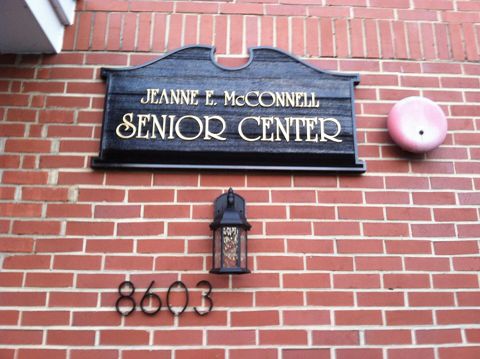 Berwyn HeightsMaryland
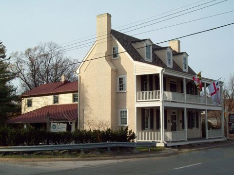 BladensburgMaryland
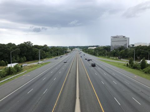 BowieMaryland
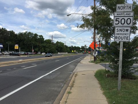 BrentwoodMaryland
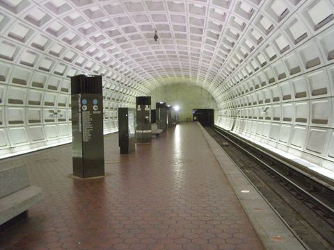 Capitol HeightsMaryland
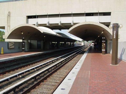 CheverlyMaryland
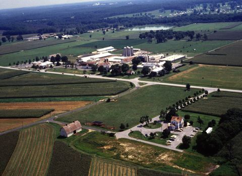 College ParkMaryland
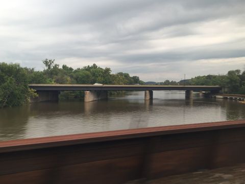 Colmar ManorMaryland
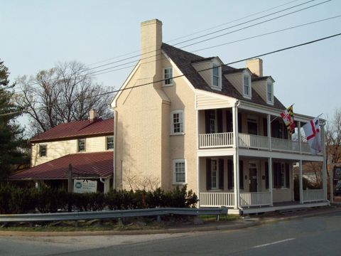 Cottage CityMaryland
 District HeightsMaryland
 Eagle HarborMaryland
 EdmonstonMaryland
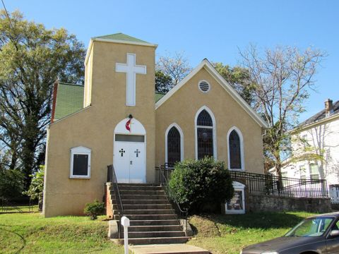 Fairmount HeightsMaryland
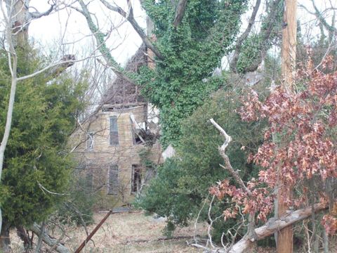 Forest HeightsMaryland
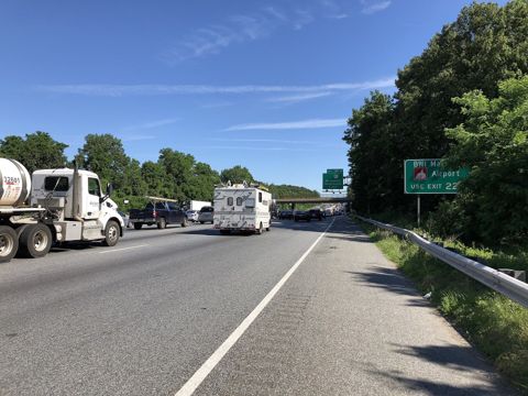 GlenardenMaryland
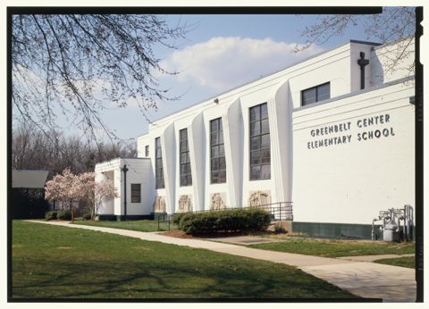 GreenbeltMaryland
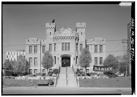 HyattsvilleMaryland
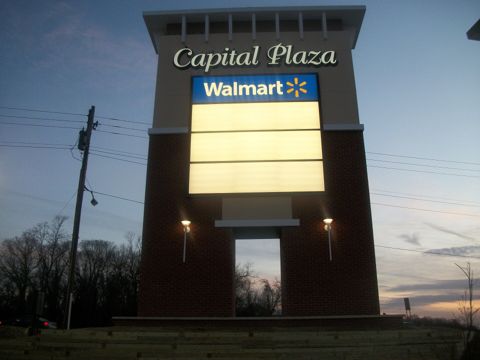 Landover HillsMaryland · Est. 1945
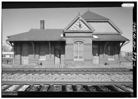 LaurelMaryland
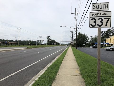 MorningsideMaryland
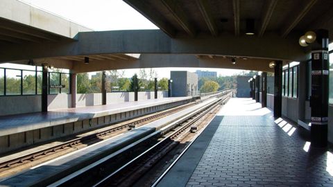 Mount RainierMaryland
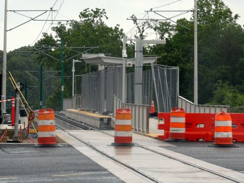 New CarrolltonMaryland
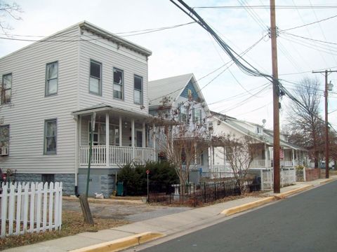 North BrentwoodMaryland
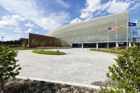 Riverdale ParkMaryland
Founding years, populations and town notes come from each town's Wikipedia and Wikidata entries. All Maryland towns.