Hammonasset River
Hammonasset River in Madison, Connecticut: prints, keepsakes and a free coloring page.
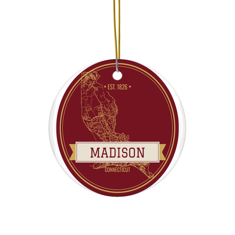 Madison Hometown Ornamentfrom $23 · free shipping
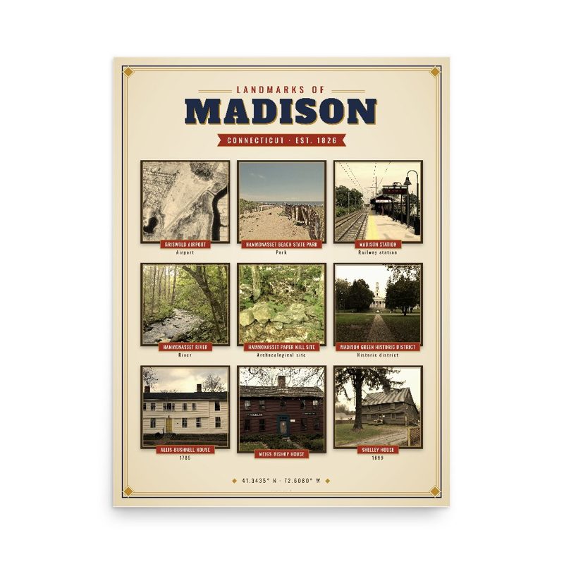 Madison Landmarks Photo Posterfrom $40 · free shipping
 Madison Town Line Mugfrom $26 · free shipping
The Hammonasset River is formed about 4 miles (6.4 km) southeast of Durham, Connecticut along a gully on the north end of Bunker Hill at about a half mile northeast of the junction of Route 148 and Bunker Hill Road. The river travels for 21.0 miles (33.8 km) to Clinton Harbor on Long Island Sound just east of Hammonasset Beach State Park. A popular paddling route runs for about 10 miles (16 km) starting along Summer Hill Road about 2.5 miles (4.0 km) south on Route 79 from North Madison, Connecticut. This is a scenic river run with mostly flat and quickwater, but with a few Class I-II whitewater areas.
From Wikipedia (CC BY-SA).
Free coloring page
 Hammonasset RiverFree PDF, US Letter
More from Madison
All Madison maps, prints and gifts · A custom map with your places marked · Partner with us