Our Town Store
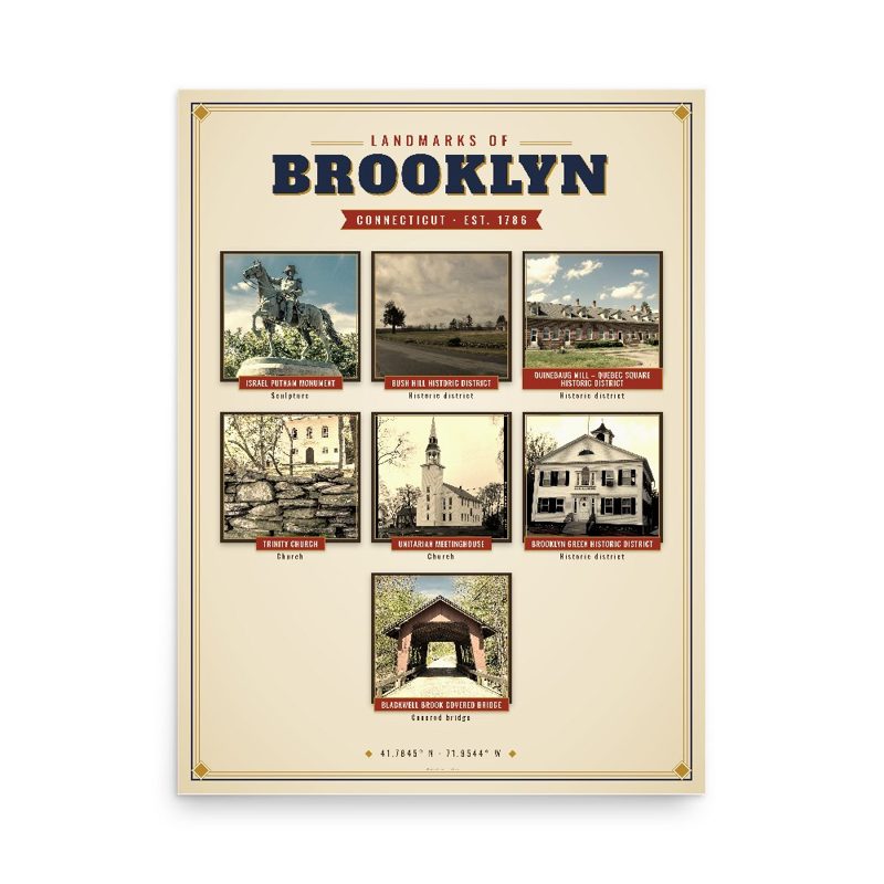
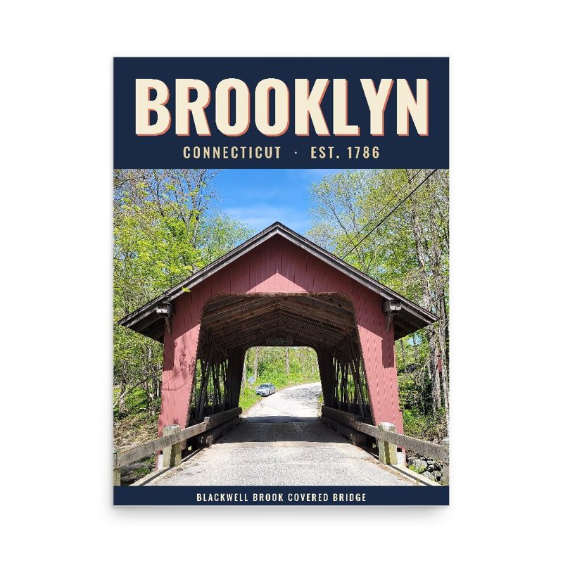
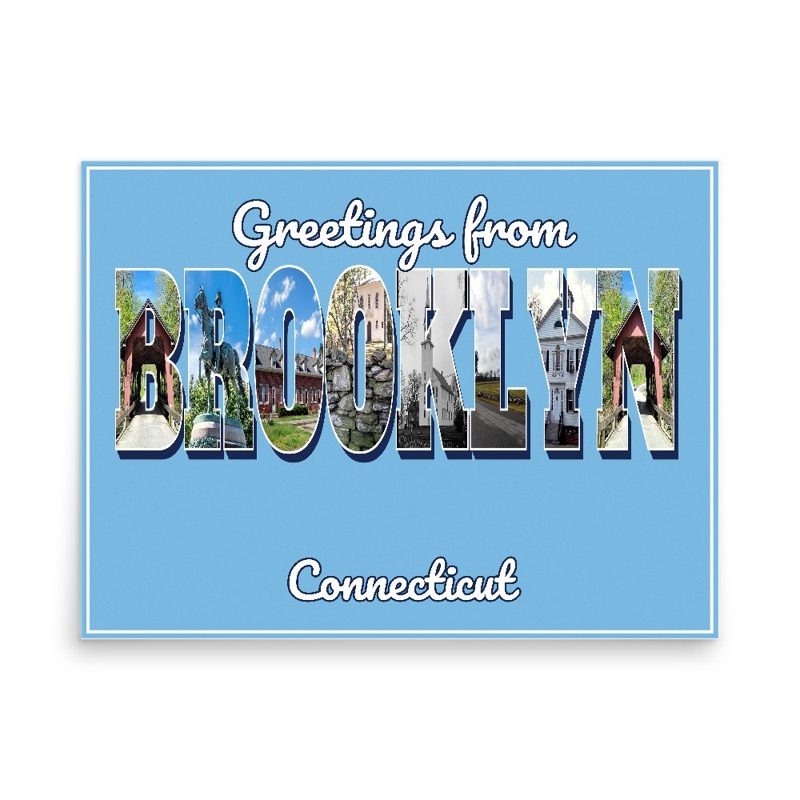
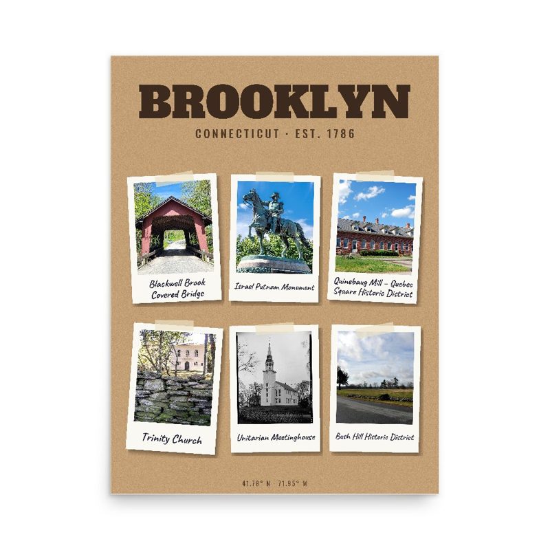
Header photo: View northwest showing Brooklyn Green and Town Hall from just souty of the intersection of Routes 6 and 169 in Brooklyn, Connecticut - Brooklyn Green, North Green, South Green, & West Green, parts of Brown Road, Canterbury Road (Route 169), Hartford Road (Route 6), Hyde Road, Pomfret Road (Route 169), Prince Hill Road, Providence Road (Route 6), Wauregan Road (Routes 169 & 205), & Wolf Den Road, Historic American Buildings Survey, Library of Congress (public domain). Product photos via Wikimedia Commons: Israel Putnam Monument: Kenneth C. Zirkel, CC BY-SA 4.0; Bush Hill Historic District: Magicpiano, CC BY-SA 3.0; Quinebaug Mill – Quebec Square Historic District: Marcbela (Marc N. Belanger), Public domain; Trinity Church: Kenneth C. Zirkel, CC BY-SA 3.0; Unitarian Meetinghouse: unknown, Public domain; Brooklyn Green Historic District: unknown, Public domain; Blackwell Brook Covered Bridge: John Phelan, CC BY 4.0. Timeline text quoted from Wikipedia (CC BY-SA 4.0). Archive prints: Library of Congress, no known restrictions.
Shop About Partners Link to us Shipping Returns Privacy Terms YouTube hello@ourtownstore.com
Map data © OpenStreetMap contributors (ODbL). Town history from Wikipedia (CC BY-SA 4.0). Not affiliated with the Town of Brooklyn.